Alderpark Copse

Wood, Forest in Devon Teignbridge

England

Alderpark Copse

Old Boundary Marker beside Scotley Bridge Parish Boundary Marker on the south side of the road at the west end of Scotley Bridge. Inscribed D R and D on opposite faces and BOUNDARY on its side. On the boundary of Drewsteignton and Dunsford parishes.

Milestone Society National ID: DV_DREDUN01pb
Old Boundary Marker beside Scotley Bridge Credit: M Hatton

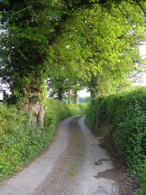
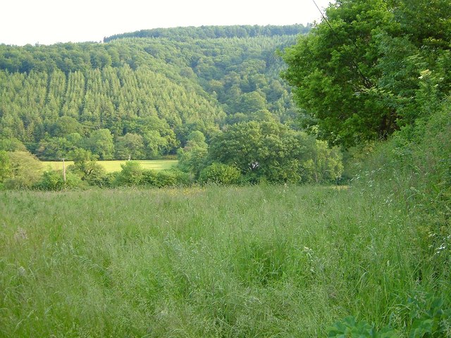
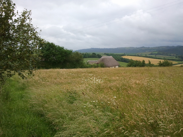
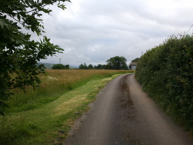
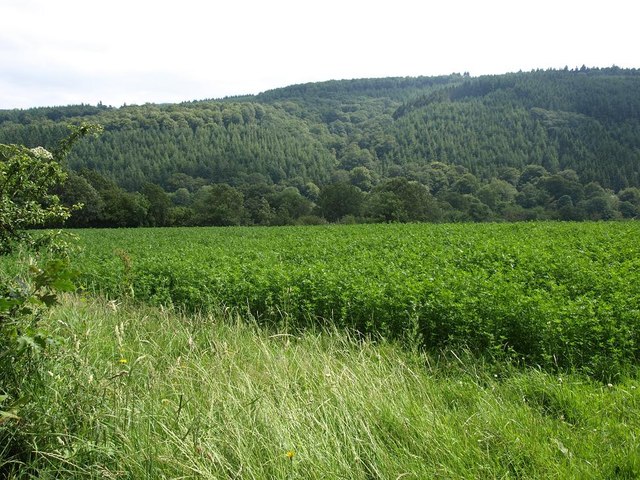
Alderpark Copse is a picturesque woodland located in Devon, England. Situated in the heart of the county, this charming copse covers an area of approximately 50 acres and is a haven for nature lovers and outdoor enthusiasts.

The copse is predominantly made up of majestic alder trees, which lend their name to the woodland. These trees provide a lush green canopy, creating a tranquil and serene atmosphere. The dense foliage also offers shelter and a habitat for a diverse range of wildlife.

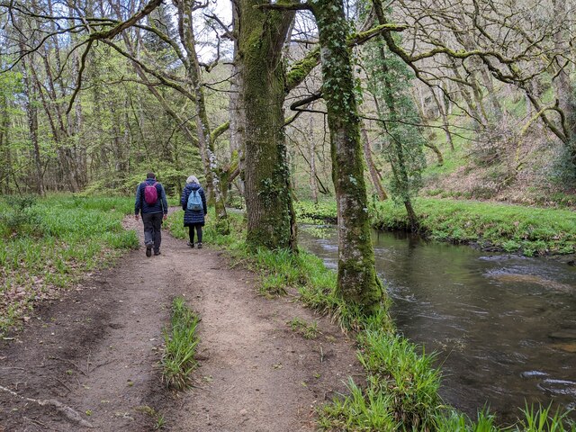
As visitors explore Alderpark Copse, they will discover a network of well-maintained footpaths that wind through the woodland. These pathways provide an opportunity to immerse oneself in the beauty of nature, offering stunning views of the surrounding countryside and glimpses of native wildlife.

The copse is home to a variety of flora and fauna. Wildflowers such as bluebells, primroses, and wood anemones carpet the forest floor during the spring months, adding a burst of vibrant colors. Birdwatchers will delight in the opportunity to spot species such as great tits, chiffchaffs, and tawny owls, while lucky visitors may even catch a glimpse of roe deer or foxes.

Alderpark Copse is a popular destination for nature walks, picnics, and photography. The tranquil ambiance and natural beauty make it an ideal spot for those seeking peace and relaxation in the heart of Devon's countryside.

If you have any feedback on the listing, please let us know in the comments section below.

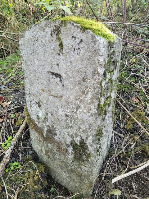
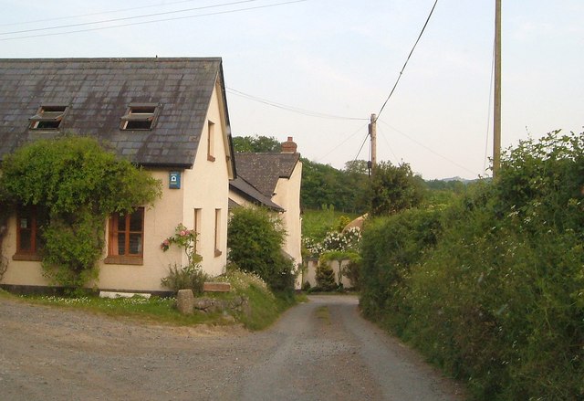
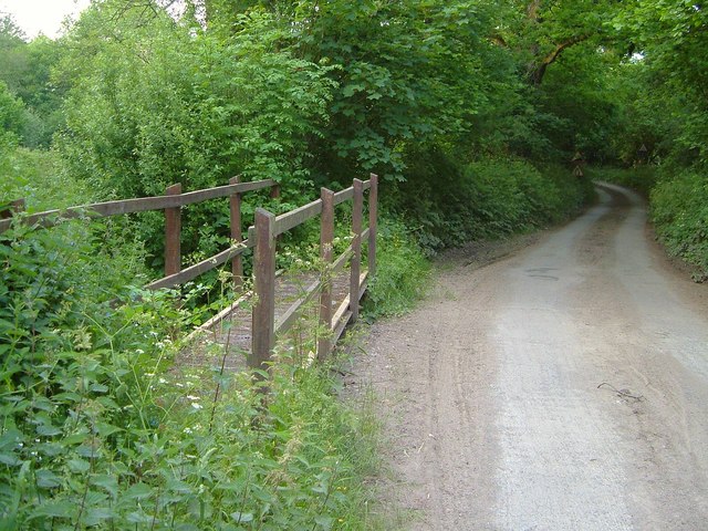
Alderpark Copse Images

Images are sourced within 2km of 50.694003/-3.7228674 or Grid Reference SX7889. Thanks to Geograph Open Source API. All images are credited.

Old Boundary Marker beside Scotley Bridge Parish Boundary Marker on the south side of the road at the west end of Scotley Bridge. Inscribed D R and D on opposite faces and BOUNDARY on its side. On the boundary of Drewsteignton and Dunsford parishes.

Milestone Society National ID: DV_DREDUN01pb
Old Boundary Marker beside Scotley Bridge
Parish Boundary Marker on the south side of the road at the west end of Scotley Bridge. Inscribed D R and D on opposite faces and BOUNDARY on its side. On the boundary of Drewsteignton and Dunsford parishes. Milestone Society National ID: DV_DREDUN01pb
Walkers next to the river, heading west
Woodbrooke Farm Conversions at the farm, by the lane from Cheriton Bishop to Clifford Bridge.
Woodbrooke Farm
Conversions at the farm, by the lane from Cheriton Bishop to Clifford Bridge.
Ford, Woodbrooke The lane just south of <a href="https://www.geograph.org.uk/photo/2676148">SX7790 : Woodbrooke Farm</a> with a footbridge in case the Scotley Brook is crossing the tarmac. <a href="https://www.geograph.org.uk/photo/183383">SX7790 : Scotley Brook near Woodbrooke Farm</a> was taken looking downstream to the right.
Ford, Woodbrooke
The lane just south of SX7790 : Woodbrooke Farm with a footbridge in case the Scotley Brook is crossing the tarmac. SX7790 : Scotley Brook near Woodbrooke Farm was taken looking downstream to the right.
Lane from Woodbrooke Ford The view behind the camera in <a href="https://www.geograph.org.uk/photo/2676166">SX7790 : Ford, Woodbrooke</a>, with the lane passing oak trees on its way to Wallon.
Lane from Woodbrooke Ford
The view behind the camera in SX7790 : Ford, Woodbrooke, with the lane passing oak trees on its way to Wallon.
Meadow above the Teign Looking from the lane between Upperton and Clifford Bridge down into the Teign valley; the river and the far slopes (Langland Wood) are in <a href="https://www.geograph.org.uk/gridref/SX7789">SX7789</a>.
Meadow above the Teign
Looking from the lane between Upperton and Clifford Bridge down into the Teign valley; the river and the far slopes (Langland Wood) are in SX7789.
Fields and house at East Down
Track heading away from East Down
Cropfield close to Wallon crossroads, looking towards the south slopes of the Teign gorge
Pittonbrake Plantation One of two small areas of woodland, both called Pittonbrake beside the road near Berry Barton.
Pittonbrake Plantation
One of two small areas of woodland, both called Pittonbrake beside the road near Berry Barton.
Track into Pittonbrake Plantation
Farm access road for Moor Farm The farm buildings (in <a href="https://www.geograph.org.uk/gridref/SX8090">SX8090</a>) are visible above the gate
Farm access road for Moor Farm
The farm buildings (in SX8090) are visible above the gate
Staggered five-way junction near Holeland The road on the right forks almost immediately to give the fifth road.
Staggered five-way junction near Holeland
The road on the right forks almost immediately to give the fifth road.
A valley filled with corn In the distance is Carnal Plantation which extends into three adjacent gridsquares
A valley filled with corn
In the distance is Carnal Plantation which extends into three adjacent gridsquares
Tower Lodge, and entrance for Great Fulford Great Fulford is a private house and estate.  The lodge walls have been repainted since the previous picture <a href="https://www.geograph.org.uk/photo/1987029">SX7991 : Tower Lodge, Great Fulford Park</a> was taken.
Tower Lodge, and entrance for Great Fulford
Great Fulford is a private house and estate. The lodge walls have been repainted since the previous picture SX7991 : Tower Lodge, Great Fulford Park was taken.
A track to Great Fulford Park from Tower Lodge
Bales at Langley Farm
Ford at Woodbrooke This ford on the Scotley Brook is found below Woodbrooke Farm.
Ford at Woodbrooke
This ford on the Scotley Brook is found below Woodbrooke Farm.
Show me another place!

Alderpark Copse is located at Grid Ref: SX7889 (Lat: 50.694003, Lng: -3.7228674)

Administrative County: Devon

District: Teignbridge

Police Authority: Devon and Cornwall

What 3 Words

///plodding.enveloped.nurse. Near Moretonhampstead, Devon

Related Wikis

Wooston Castle

Wooston Castle is an Iron Age Hill fort situated on the edge of a hill overlooking the Teign Valley in Devon some 200 metres above sea level, only 3 km...

Great Fulford

Great Fulford is an historic estate in the parish of Dunsford, Devon. The grade I listed manor house, known as Great Fulford House, is about 9 miles west...

West Country English

West Country English is a group of English language varieties and accents used by much of the native population of South West England, the area sometimes...

Devon

Devon (/ˈdɛvən/ DEV-ən, historically also known as Devonshire /-ʃɪər, -ʃər/ -⁠sheer, -⁠shər) is a ceremonial county in South West England. It is bordered...

Dunsford

Dunsford is a village in Devon, England, just inside the Dartmoor National Park. The place-name 'Dunsford' is first attested in the Domesday Book of 1086...

Prestonbury Castle

Prestonbury Castle is an Iron Age Hill fort on the north east edge of Dartmoor in Devon, England. Situated on a massive hilltop some 240 metres above sea...

Crockernwell

Crockernwell is a small village with a Methodist church. It is located 2 miles west of Cheriton Bishop and 12 miles west of Exeter, Devon, England. �...
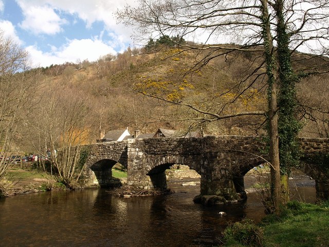
Fingle Bridge

Fingle Bridge is a 17th-century stone arch bridge carrying an unclassified road over the River Teign near Drewsteignton, within Dartmoor National Park...

Nearby Amenities

Located within 500m of 50.694003,-3.7228674
Clifford Cross
Place: locality
Lat/Long: 50.6953365/-3.7255712
Post Box
Brand: Royal Mail
Brand Wikidata: Q638098
Brand Wikipedia: en:Royal Mail
Collection Plate: CP7
Collection Times: Mo-Fr 16:30; Sa 07:00; Su off
Operator: Royal Mail
Operator Wikidata: Q638098
Post Box Design: 2010_pattern
Post Box Mounting: pier
Post Box Type: lamp
Ref: EX6 356
Royal Cypher: EIIR
Royal Cypher Wikidata: Q33102113
Source: survey;streetlevel imagery;aerial imagery
Lat/Long: 50.6953938/-3.7254454
Clifford Bridge
Place: locality
Lat/Long: 50.6945212/-3.7272842
Ford: yes
Lat/Long: 50.6902321/-3.7222244
The data included in this document is from www.openstreetmap.org. The data is made available under ODbL.

Have you been to Alderpark Copse?

Leave your review of Alderpark Copse below (or comments, questions and feedback).