Meadwell Plantation

Wood, Forest in Devon Mid Devon

England

Meadwell Plantation

The A30 west at Woodleigh Junction
The A30 west at Woodleigh Junction Credit: Roy Hughes

Meadwell Plantation is a captivating woodland located in Devon, England. Spanning over a vast area, this enchanting forest is renowned for its lush greenery, diverse flora and fauna, and tranquil atmosphere. Situated amidst the rolling hills of Devon, Meadwell Plantation offers a serene retreat for nature lovers and outdoor enthusiasts.

The plantation boasts a rich history that dates back several centuries. It was initially established as a source of timber during the 18th century and has since evolved into a thriving ecosystem. The woodland is predominantly composed of native tree species such as oak, beech, and ash, which provide a haven for various wildlife species including deer, foxes, and a wide range of bird species.

Meadwell Plantation offers a plethora of recreational activities for visitors. The extensive network of well-maintained walking trails allows visitors to explore the woodland at their own pace, immersing themselves in the breathtaking natural beauty. Additionally, the plantation offers opportunities for camping, picnicking, and birdwatching, making it an ideal destination for families and nature enthusiasts alike.

The plantation is also home to a visitor center, where knowledgeable staff provide information about the woodland's history, ecology, and conservation efforts. Educational programs and guided tours are offered on a regular basis, allowing visitors to gain a deeper understanding of the plantation's significance and the importance of preserving its natural resources.

Meadwell Plantation, with its picturesque landscapes and tranquil ambiance, is truly a gem in Devon's natural heritage. It continues to captivate visitors with its scenic beauty, offering a perfect blend of recreation and conservation in the heart of England's countryside.

If you have any feedback on the listing, please let us know in the comments section below.

Meadwell Plantation Images

Images are sourced within 2km of 50.733093/-3.7473293 or Grid Reference SX7694. Thanks to Geograph Open Source API. All images are credited.

The A30 west at Woodleigh Junction
Former Toll House, Cheriton Cross On the South side of the main street through the village (ex A30).

Milestone Society National ID: DV.CHE
Former Toll House, Cheriton Cross
On the South side of the main street through the village (ex A30). Milestone Society National ID: DV.CHE
Woodleigh Coach House
Woodleigh Junction, A30
Mid Devon : The A30 Dual Carriageway The A30 doesn't travel through much of Mid Devon but here it is on a short segment in the district.
Mid Devon : The A30 Dual Carriageway
The A30 doesn't travel through much of Mid Devon but here it is on a short segment in the district.
Polford Bridge  The bridge crosses a small stream that flows south to the Teign.  Just beyond the bridge is access to Sunny Cottages
Polford Bridge
The bridge crosses a small stream that flows south to the Teign. Just beyond the bridge is access to Sunny Cottages
Cottages west of Cheriton Bishop
The Old Thatch Inn Signs show that the inn is for sale
The Old Thatch Inn
Signs show that the inn is for sale
Bridge over A30
Bridge over A30
A30 from bridge at Cheriton Bishop
Plaque to mark the opening of bridge over A30 When the A30 dual carriageway was built, traffic at the junction for Cheriton Bishop and other villages had to cross the carriageway; it became an accident black-spot.  Local campaigners persuaded the Highways Agency to build a bridge and make a safer junction.  This plaque also notes the efforts of one local councillor in the campaign.
Plaque to mark the opening of bridge over A30
When the A30 dual carriageway was built, traffic at the junction for Cheriton Bishop and other villages had to cross the carriageway; it became an accident black-spot. Local campaigners persuaded the Highways Agency to build a bridge and make a safer junction. This plaque also notes the efforts of one local councillor in the campaign.
Holewell Lane bridge over A30
Dunsford Road, Cheriton Bishop From its junction with the old A30, with an old oak, after which the first cottage is named.
Dunsford Road, Cheriton Bishop
From its junction with the old A30, with an old oak, after which the first cottage is named.
Dunsford Road, Cheriton Bishop A reverse view of <a href="https://www.geograph.org.uk/photo/2645201">SX7792 : Dunsford Road, Cheriton Bishop</a>, from one oak tree to another.
Dunsford Road, Cheriton Bishop
A reverse view of SX7792 : Dunsford Road, Cheriton Bishop, from one oak tree to another.
Cheriton Cross When the old A30 was widened in 1969, the medieval cross was moved. It also serves as a war memorial <span class="nowrap"><a title="http://www.britishlistedbuildings.co.uk/en-95141-cheriton-cross-cheriton-bishop" rel="nofollow ugc noopener" href="http://www.britishlistedbuildings.co.uk/en-95141-cheriton-cross-cheriton-bishop">Link</a><img style="margin-left:2px;" alt="External link" title="External link - shift click to open in new window" src="https://s1.geograph.org.uk/img/external.png" width="10" height="10"/></span> .
Cheriton Cross
When the old A30 was widened in 1969, the medieval cross was moved. It also serves as a war memorial LinkExternal link .
Field boundary near South View A view from a small lay-by on the old A30. The field boundary drops to an old by a tributary of the Scotley Brook.
Field boundary near South View
A view from a small lay-by on the old A30. The field boundary drops to an old by a tributary of the Scotley Brook.
Field access lane, Cheriton Bishop The old lane meets Cheriton Bishop Bridleway 10 as it reaches The Brake, the woodland on the side of the Scotley Brook valley. It would have been the western entrance to <a href="https://www.geograph.org.uk/photo/186216">SX7692 : Higher Eggbeer</a>, but now looks overgrown to the left of this image.
Field access lane, Cheriton Bishop
The old lane meets Cheriton Bishop Bridleway 10 as it reaches The Brake, the woodland on the side of the Scotley Brook valley. It would have been the western entrance to SX7692 : Higher Eggbeer, but now looks overgrown to the left of this image.
Road heading east through Cheriton Bishop
Show me another place!

Meadwell Plantation is located at Grid Ref: SX7694 (Lat: 50.733093, Lng: -3.7473293)

Administrative County: Devon

District: Mid Devon

Police Authority: Devon and Cornwall

What 3 Words

///rafters.clipboard.shepherds. Near Moretonhampstead, Devon

Related Wikis

Cheriton Bishop

Cheriton Bishop is a village and civil parish situated on the northern borders of Dartmoor National park between Exeter and Okehampton, in Devon, England...
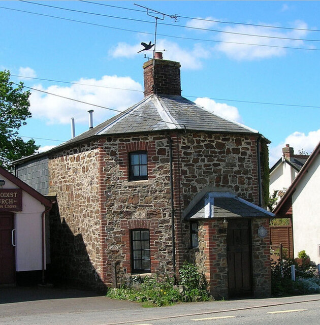
Crockernwell

Crockernwell is a small village with a Methodist church. It is located 2 miles west of Cheriton Bishop and 12 miles west of Exeter, Devon, England. �...

West Country English

West Country English is a group of English language varieties and accents used by much of the native population of South West England, the area sometimes...

Devon

Devon (/ˈdɛvən/ DEV-ən, historically also known as Devonshire /-ʃɪər, -ʃər/ -⁠sheer, -⁠shər) is a ceremonial county in South West England. It is bordered...

Nearby Amenities

Located within 500m of 50.733093,-3.7473293
Barrier: stile
Lat/Long: 50.7348918/-3.7413164
Parking
Access: yes
Fee: no
Note: Layby
Parking: surface
Source: survey
Lat/Long: 50.7316385/-3.7452292
Phone
Check Date: 2023-08-22
Emergency: phone
Source: survey
Lat/Long: 50.7316101/-3.7445052
The data included in this document is from www.openstreetmap.org. The data is made available under ODbL.

Have you been to Meadwell Plantation?

Leave your review of Meadwell Plantation below (or comments, questions and feedback).