Ball Copse

Wood, Forest in Devon South Hams

England

Ball Copse

St Peter's church, Harbertonford
St Peter's church, Harbertonford Credit: Roy Hughes

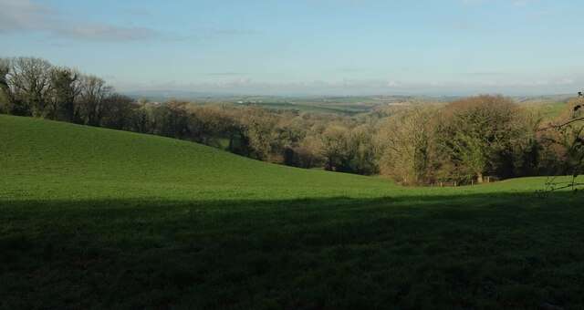
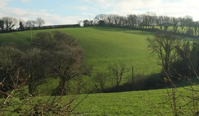
Ball Copse is a picturesque woodland area located in the county of Devon, in southwestern England. Situated in the heart of the county, it covers an area of approximately 50 acres, providing a serene and tranquil environment for nature enthusiasts and outdoor lovers.

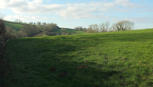
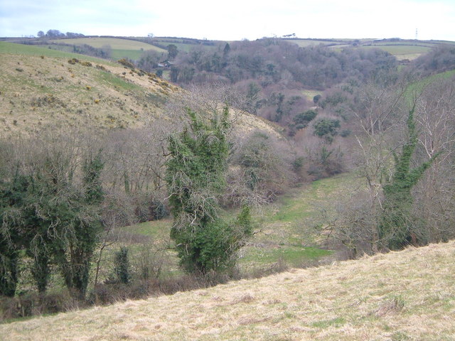
The copse is predominantly composed of native broadleaf trees, including oak, beech, and ash, interspersed with a variety of smaller shrubs and plants. The dense canopy formed by these trees creates a sheltered and shady atmosphere, perfect for relaxing walks and exploration. The forest floor is covered with a rich carpet of moss, ferns, and wildflowers, adding to the enchanting ambiance of the woodland.

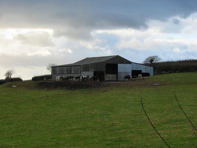
Ball Copse is also home to a diverse array of wildlife. Visitors may spot several bird species, such as woodpeckers, warblers, and jays, as well as small mammals like squirrels and rabbits. The copse provides a vital habitat for these creatures, offering a safe haven away from the hustle and bustle of human activity.

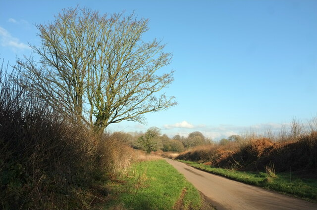
The copse is crisscrossed by well-maintained footpaths, allowing visitors to explore the area easily. These paths lead to secluded clearings and babbling streams, providing opportunities for peaceful picnics or simply immersing oneself in the natural surroundings.

Overall, Ball Copse in Devon offers a delightful escape from the pressures of daily life, allowing visitors to reconnect with nature and experience the serene beauty of a traditional English woodland.

If you have any feedback on the listing, please let us know in the comments section below.

Ball Copse Images

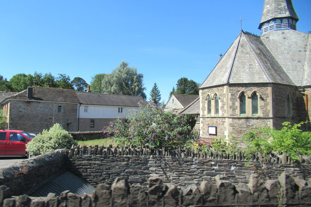
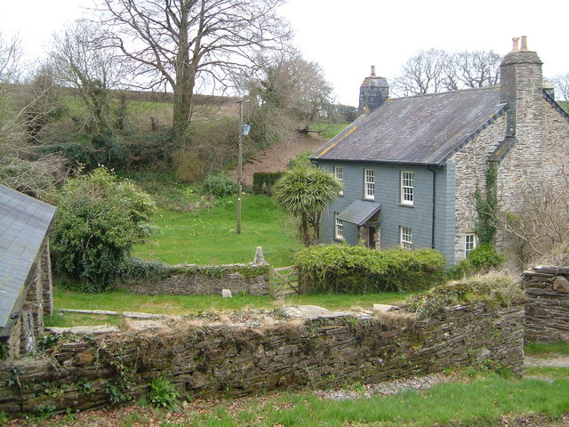
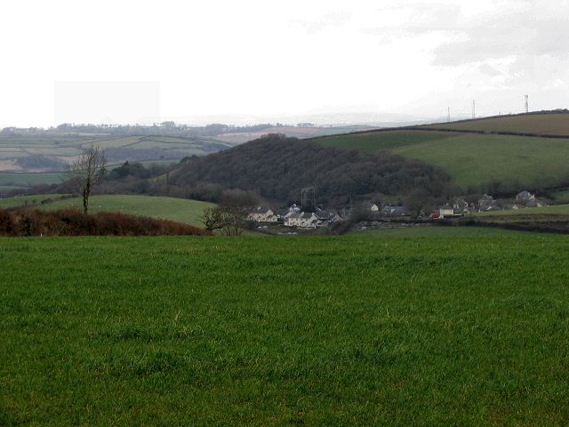
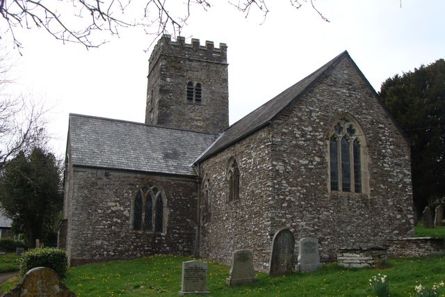
Images are sourced within 2km of 50.387563/-3.7377314 or Grid Reference SX7655. Thanks to Geograph Open Source API. All images are credited.

St Peter's church, Harbertonford
Cottages on Hillside, Harbertonford
Harbourne filling station Harbertonford
Field and woods, Poulston A view from the ridge lane from Harbertonford. Honeywell Wood is on the left.
Field and woods, Poulston
A view from the ridge lane from Harbertonford. Honeywell Wood is on the left.
Lane at Spanish Lane End Leading towards Harbertonford.
Lane at Spanish Lane End
Leading towards Harbertonford.
Lane to Harbourne valley Approaching a bend with trees and a view down the valley.
Lane to Harbourne valley
Approaching a bend with trees and a view down the valley.
Harbourne River valley From the gate seen in <a href="https://www.geograph.org.uk/photo/7391249">SX7657 : Lane to Harbourne valley</a>.
Harbourne River valley
From the gate seen in SX7657 : Lane to Harbourne valley.
Hillside, Hill Mill Looking down the lane just to the right of <a href="https://www.geograph.org.uk/photo/7391250">SX7657 : Harbourne River valley</a>.
Hillside, Hill Mill
Looking down the lane just to the right of SX7657 : Harbourne River valley.
Lane to Poulston <a href="https://www.geograph.org.uk/photo/7386961">SX7754 : Field and woods, Poulston</a> looks left from here.
Lane to Poulston
SX7754 : Field and woods, Poulston looks left from here.
Valley, Boreston Seen from Spanish Lane End.
Valley, Boreston
Seen from Spanish Lane End.
Field, Spanish Lane End From the gate seen in <a href="https://www.geograph.org.uk/photo/7386973">SX7654 : Lane at Spanish Lane End</a>, looking left.
Field, Spanish Lane End
From the gate seen in SX7654 : Lane at Spanish Lane End, looking left.
Crabadon cowshed - South Devon
Woodcourt Seen looking south from across the little Harbourne River, an old farm close to Harbertonford. Listed <span class="nowrap"><a title="https://www.historicengland.org.uk/listing/the-list/list-entry/1108257" rel="nofollow ugc noopener" href="https://www.historicengland.org.uk/listing/the-list/list-entry/1108257">Link</a><img style="margin-left:2px;" alt="External link" title="External link - shift click to open in new window" src="https://s1.geograph.org.uk/img/external.png" width="10" height="10"/></span> .
Woodcourt
Seen looking south from across the little Harbourne River, an old farm close to Harbertonford. Listed LinkExternal link .
Rolster Bridge A distinctively shaped bridge over the Harbourne River, and doubtless built of stone from Englebourne slate quarry, a few yards away in the eastern valley side. <span class="nowrap"><a title="https://www.historicengland.org.uk/listing/the-list/list-entry/1215347" rel="nofollow ugc noopener" href="https://www.historicengland.org.uk/listing/the-list/list-entry/1215347">Link</a><img style="margin-left:2px;" alt="External link" title="External link - shift click to open in new window" src="https://s1.geograph.org.uk/img/external.png" width="10" height="10"/></span> , an interesting listed building description. Seen looking WNW.
Rolster Bridge
A distinctively shaped bridge over the Harbourne River, and doubtless built of stone from Englebourne slate quarry, a few yards away in the eastern valley side. LinkExternal link , an interesting listed building description. Seen looking WNW.
Dattins Or Dottins, according to the OS map, but nothing else. Interesting gothic windows in the obviously-altered roadside cottage below the farmhouse - could it once have had some religious use? Seen looking north-east.
Dattins
Or Dottins, according to the OS map, but nothing else. Interesting gothic windows in the obviously-altered roadside cottage below the farmhouse - could it once have had some religious use? Seen looking north-east.
Valley near Crabadon The buildings of Crabadon Manor can just be seen up the winding valley of the Ashwell Brook. View looking SSW from the footpath up past Greyhills Quarry.
Valley near Crabadon
The buildings of Crabadon Manor can just be seen up the winding valley of the Ashwell Brook. View looking SSW from the footpath up past Greyhills Quarry.
Murtwell A scene in this attractive hamlet in the South Hams. Looking ENE.
Murtwell
A scene in this attractive hamlet in the South Hams. Looking ENE.
Fletcher's Combe A listed farmhouse <span class="nowrap"><a title="https://www.historicengland.org.uk/listing/the-list/list-entry/1108245" rel="nofollow ugc noopener" href="https://www.historicengland.org.uk/listing/the-list/list-entry/1108245">Link</a><img style="margin-left:2px;" alt="External link" title="External link - shift click to open in new window" src="https://s1.geograph.org.uk/img/external.png" width="10" height="10"/></span> tucked into the valley side of the Beenleigh Brook. The outbuildings to the left are converted to holiday accommodation. Seen looking roughly north-west. See also <a href="https://www.geograph.org.uk/photo/5577939">SX7656 : Fletcher's Combe</a>.
Fletcher's Combe
A listed farmhouse LinkExternal link tucked into the valley side of the Beenleigh Brook. The outbuildings to the left are converted to holiday accommodation. Seen looking roughly north-west. See also SX7656 : Fletcher's Combe.
Show me another place!

Ball Copse is located at Grid Ref: SX7655 (Lat: 50.387563, Lng: -3.7377314)

Administrative County: Devon

District: South Hams

Police Authority: Devon and Cornwall

What 3 Words

///flaunting.handy.outline. Near Totnes, Devon

Related Wikis

Belsford

Belsford is a village in Devon, England. == External links == Media related to Belsford at Wikimedia Commons

Halwell

Halwell is a village, former parish and former manor, now in the parish of Halwell and Moreleigh, in the South Hams district, in the county of Devon, England...

Halwell and Moreleigh

Halwell and Moreleigh is a civil parish in the South Hams district, in the county of Devon, England. It comprises the villages of Halwell and Moreleigh...

Moreleigh

Moreleigh or Morleigh (formerly Morley) is a village and former civil parish, now in the parish of Halwell and Moreleigh, in the South Hams, district,...

Nearby Amenities

Located within 500m of 50.387563,-3.7377314
Ball Hill
Natural: peak
Lat/Long: 50.3874274/-3.7365924
Generator Method: photovoltaic
Generator Output Electricity: yes
Generator Source: solar
Generator Type: solar_photovoltaic_panel
Location: roof
Power: generator
Lat/Long: 50.3889554/-3.7417687
The data included in this document is from www.openstreetmap.org. The data is made available under ODbL.

Have you been to Ball Copse?

Leave your review of Ball Copse below (or comments, questions and feedback).