Ashford Wood

Wood, Forest in Devon North Devon

England

Ashford Wood

Hillsford Bridge Across Hoaroak Water.
Hillsford Bridge Credit: David Martin

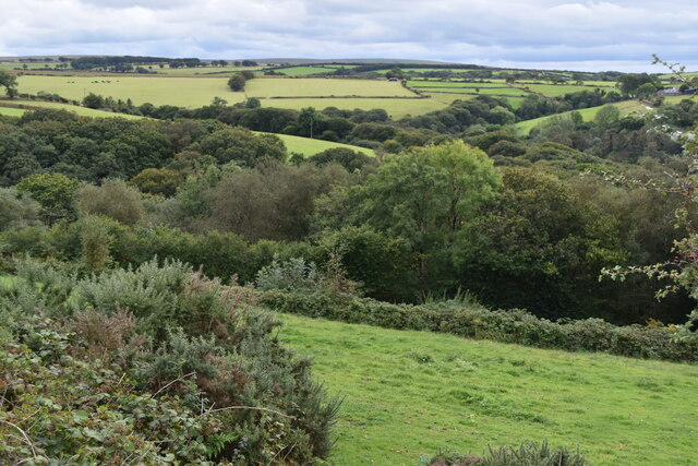
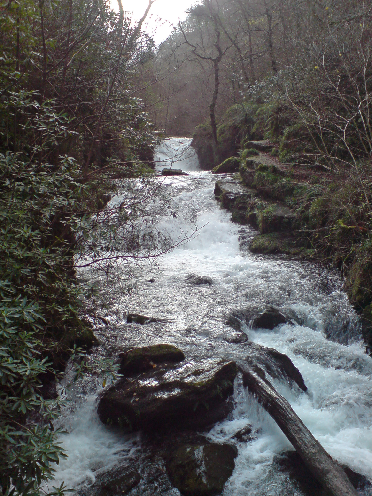
Ashford Wood, located in the county of Devon, England, is a charming forest that covers an area of approximately 150 acres. It is situated near the small village of Ashford, in the South Hams district. The wood is a popular destination for nature enthusiasts, hikers, and walkers due to its picturesque landscape and diverse wildlife.

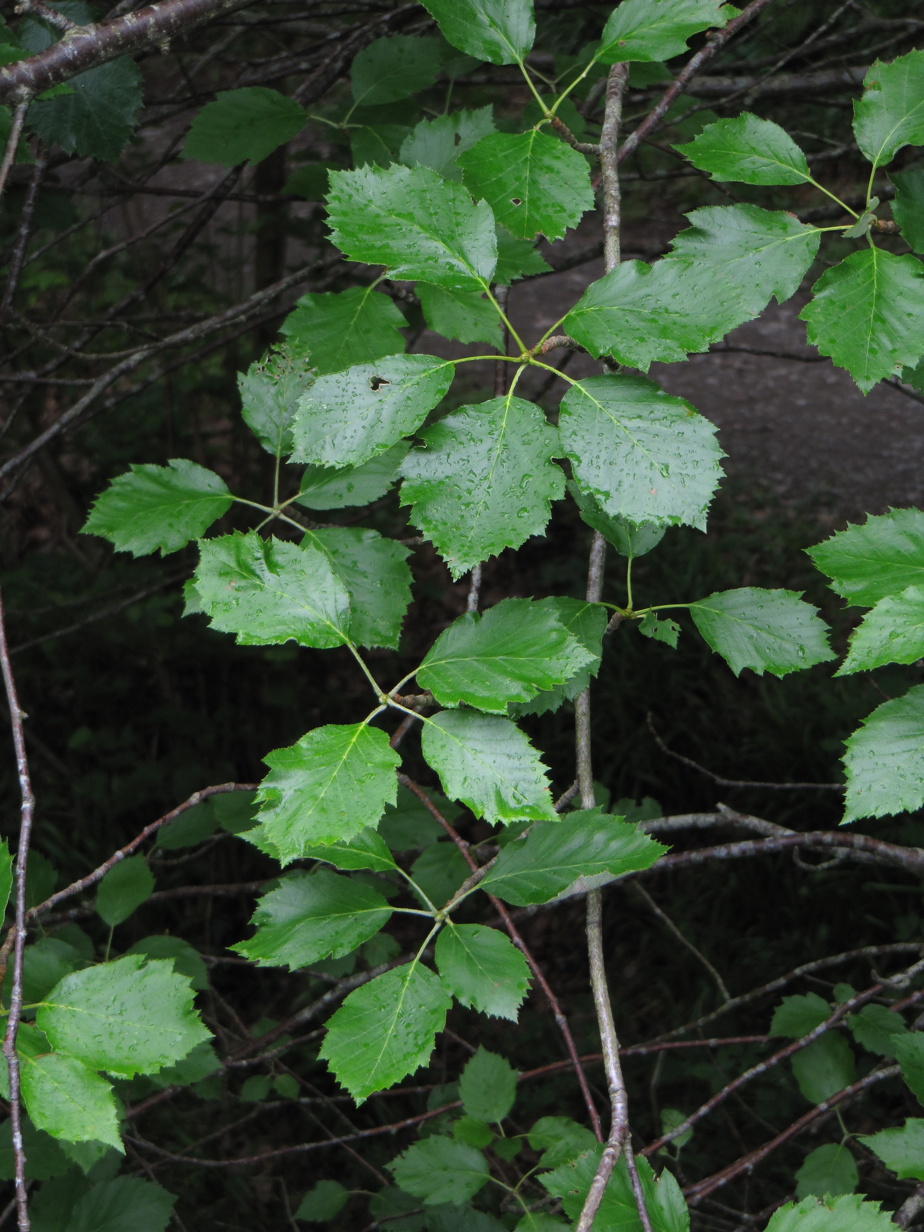
The wood is predominantly composed of broadleaf trees, including oak, beech, and birch, which provide a lush canopy and create a tranquil atmosphere. The forest floor is covered with an array of wildflowers and ferns, adding to its natural beauty. Ashford Wood is particularly enchanting during the spring season when the forest bursts into a riot of colors with the blooming of bluebells and primroses.

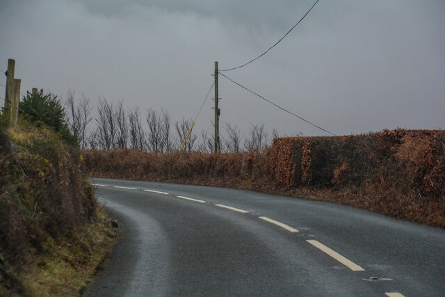
Numerous walking trails and footpaths crisscross the wood, allowing visitors to explore its hidden treasures. The paths are well-maintained and offer varying difficulty levels, catering to both casual strollers and more adventurous hikers. Along the way, one may encounter a variety of wildlife, including deer, squirrels, and a multitude of bird species.

In addition to its natural wonders, Ashford Wood also boasts a rich historical heritage. It is believed to have been part of an ancient hunting ground and evidence of prehistoric settlements has been discovered within its boundaries. The wood has also been a source of timber for centuries, with remnants of old saw pits and charcoal hearths still visible.

Ashford Wood, with its captivating scenery, diverse flora and fauna, and historical significance, continues to captivate visitors and serves as a tranquil retreat for all those seeking solace in nature.

If you have any feedback on the listing, please let us know in the comments section below.

Ashford Wood Images

Images are sourced within 2km of 51.216283/-3.7855824 or Grid Reference SS7547. Thanks to Geograph Open Source API. All images are credited.

Hillsford Bridge Across Hoaroak Water.
Hillsford Bridge
Across Hoaroak Water.
Stream in Combe Park Wood
Tree fallen across stream in Combe Park Wood
View from car park on Scobhill Road
The head of Church Combe
Footpath northwest from Farley Hill
Lynton : Watersmeet Road A39 Looking along the A39.
Lynton : Watersmeet Road A39
Looking along the A39.
Lynton : Watersmeet Road A39 Approaching the road junction with the B3223.
Lynton : Watersmeet Road A39
Approaching the road junction with the B3223.
Brendon and Countisbury : B3223 Looking along a road through the countryside.
Brendon and Countisbury : B3223
Looking along a road through the countryside.
Brendon and Countisbury : Scobhill Road B3223 Looking along Scobhill Road.
Brendon and Countisbury : Scobhill Road B3223
Looking along Scobhill Road.
St John's, Countisbury A small parish church, perched on the remote uplands of Butter Hill, bracing against the headwinds that must come roaring over the cliffs. Tonight there is a particularly fine and sunny end to the day though.

St John the Evangelist Church at Countisbury is a sister church to St John the Baptist at Lynmouth. It appears to date from the eighteenth century but has had many additions and extensions along the way. Grade II* listed.
St John's, Countisbury
A small parish church, perched on the remote uplands of Butter Hill, bracing against the headwinds that must come roaring over the cliffs. Tonight there is a particularly fine and sunny end to the day though. St John the Evangelist Church at Countisbury is a sister church to St John the Baptist at Lynmouth. It appears to date from the eighteenth century but has had many additions and extensions along the way. Grade II* listed.
Waterfall at Watersmeet in Devon On the right you can just about see a Heron that was hunting for fish in the river up and down the valley.
Waterfall at Watersmeet in Devon
On the right you can just about see a Heron that was hunting for fish in the river up and down the valley.
Countisbury Church, Devon Looking South-Westward. The valley beyond the Church is that of the Lyn River (Watersmeet is at the valley bottom). We are in Exmoor National Park here.
Countisbury Church, Devon
Looking South-Westward. The valley beyond the Church is that of the Lyn River (Watersmeet is at the valley bottom). We are in Exmoor National Park here.
Watersmeet Cafe In the East Lyn River cleave at the confluence of two rivers.
Watersmeet Cafe
In the East Lyn River cleave at the confluence of two rivers.
Countisbury: path in Horner's Neck Wood The path runs down from Tilly to Watersmeet in the East Lyn valley
Countisbury: path in Horner's Neck Wood
The path runs down from Tilly to Watersmeet in the East Lyn valley
Brendon: towards Cranscombe Farm, Scob Hill Seen from Gratton Lane, a minor road linking Malmsmead with Crookhorn Gate. Shot taken on the cusp with SS7647
Brendon: towards Cranscombe Farm, Scob Hill
Seen from Gratton Lane, a minor road linking Malmsmead with Crookhorn Gate. Shot taken on the cusp with SS7647
Sheepfield looking North to Scob Hill Taken on west side of B3223
Sheepfield looking North to Scob Hill
Taken on west side of B3223
Sheepfield North of Farley Water Farm Looking South from B3223.
Sheepfield North of Farley Water Farm
Looking South from B3223.
Show me another place!

Ashford Wood is located at Grid Ref: SS7547 (Lat: 51.216283, Lng: -3.7855824)

Administrative County: Devon

District: North Devon

Police Authority: Devon and Cornwall

What 3 Words

///sprinting.perky.deciding. Near Lynton, Devon

Related Wikis

Watersmeet House

Watersmeet House is a National Trust property located some 1.8 miles (2.9 km) east of Lynmouth, in the English county of Devon. A former fishing lodge...

Hoar Oak Water

Hoar Oak Water is a moorland tributary of the East Lyn River in Exmoor, Somerset, England. It rises at Hoaroak Hill in the Chains geological site and flows...

Myrtlebury

Myrtlebury is an Iron Age enclosure or 'spur' hill fort situated close to Lynmouth in Devon, England. The fort is effectively the north east of a hillside...

Karpatiosorbus admonitor

Karpatiosorbus admonitor, previously classified as Sorbus admonitor and also called the no parking whitebeam, is a species of whitebeam tree found in Devon...

Nearby Amenities

Located within 500m of 51.216283,-3.7855824
Pub
The Rockford Inn
Website: https://www.therockfordinn.co.uk
Wikidata: Q79837576
Lat/Long: 51.2149774/-3.7821924
Rockford
Place: hamlet
Lat/Long: 51.2148313/-3.7817997
Tourism: information
Lat/Long: 51.2149551/-3.7812578
Bench
Lat/Long: 51.2169182/-3.7856837
Bench
Lat/Long: 51.2187276/-3.7866574
Bench
Lat/Long: 51.2165838/-3.7850212
Bench
Lat/Long: 51.2155943/-3.7818562
Ford: yes
Lat/Long: 51.215441/-3.7820702
The data included in this document is from www.openstreetmap.org. The data is made available under ODbL.

Have you been to Ashford Wood?

Leave your review of Ashford Wood below (or comments, questions and feedback).