Church Brough

Settlement in Westmorland Eden

England

Church Brough

Looking over Swindale The view from the bridleway at Helbeck looking over the wooded valley to the distant fells above Kirkby Stephen and Mallerstang.
Looking over Swindale Credit: Karl and Ali

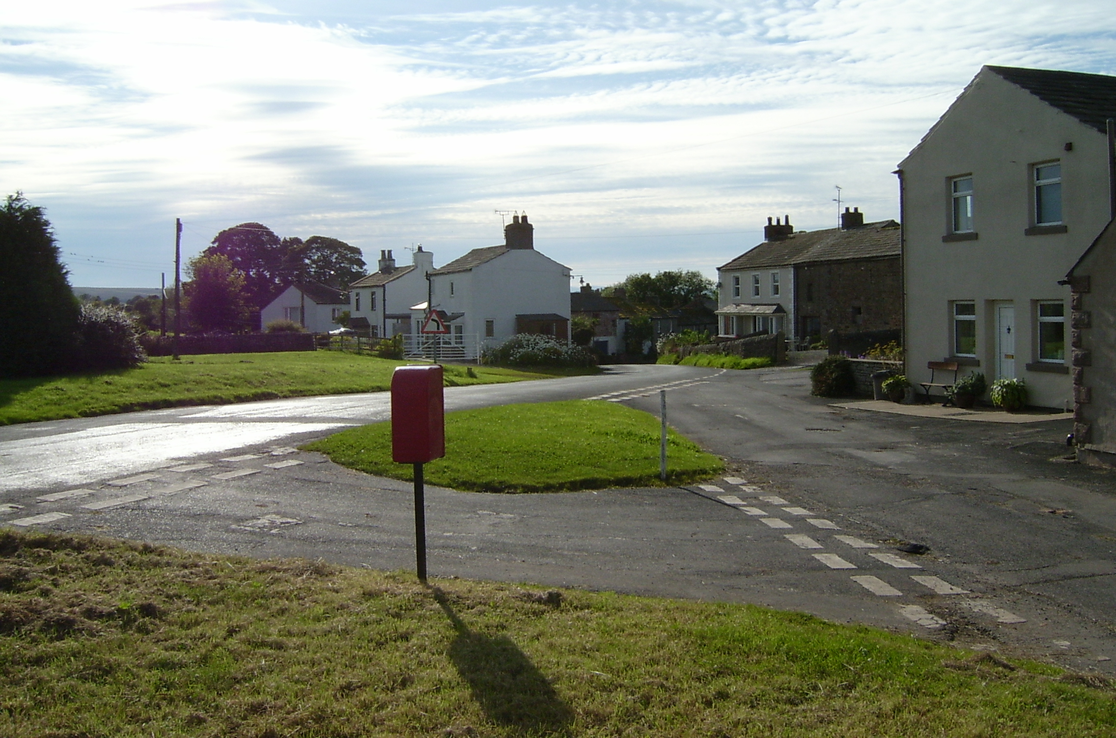
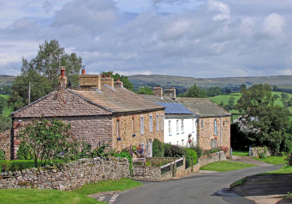
Church Brough is a small village located in the county of Westmorland, in the northwestern region of England. Situated in the Eden District, this picturesque village is nestled in the scenic landscape of the Pennines, offering stunning views of the surrounding countryside. The village is positioned approximately 3 miles northwest of the market town of Kirkby Stephen.

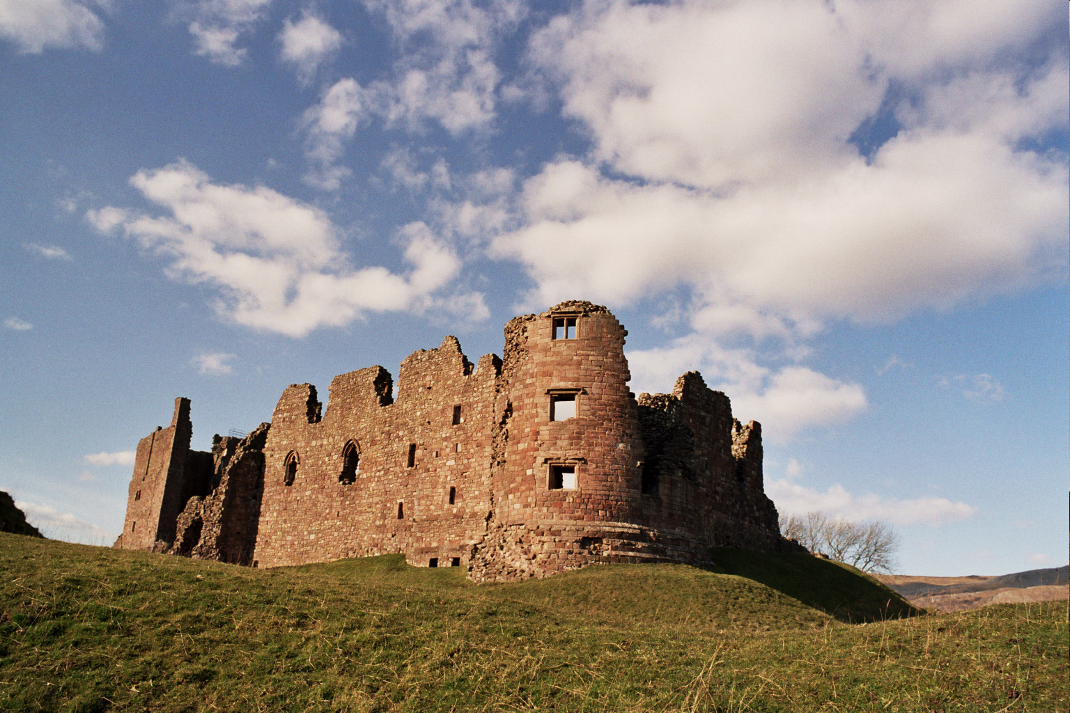
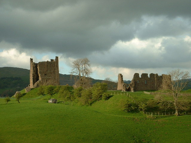
The focal point of Church Brough is the historic St. Michael's Church, which dates back to the 12th century. This Norman-style church is known for its intricate architecture and is a popular site for visitors interested in historical and architectural heritage. Adjacent to the church stands Brough Castle, a medieval fortress that was built in the 11th century. The castle ruins are a significant attraction, showcasing the rich history of the area.

Despite its small size, Church Brough offers a range of amenities and facilities to its residents and visitors. These include a few local shops, a primary school, a post office, and a village hall. The village also boasts a cozy pub, providing a friendly atmosphere for locals and tourists alike.

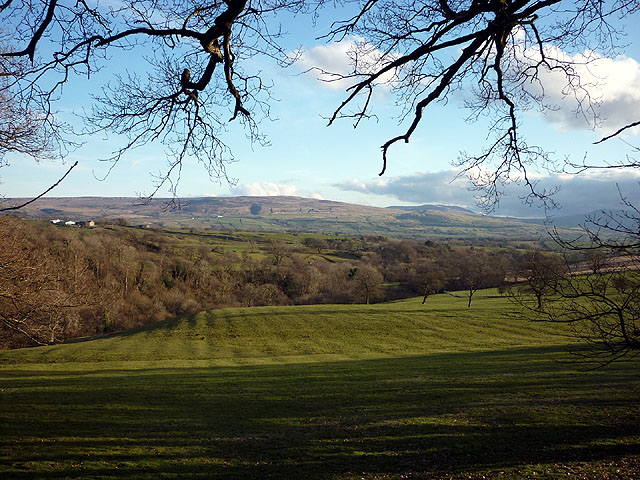
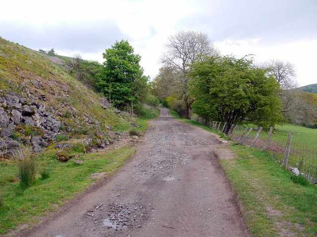
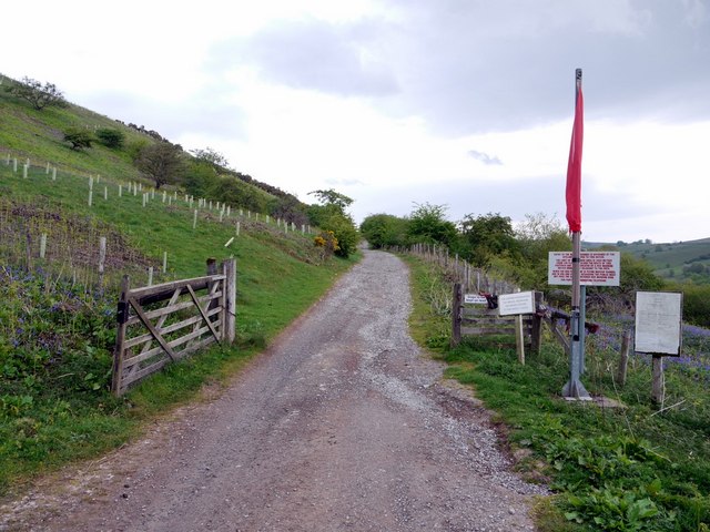
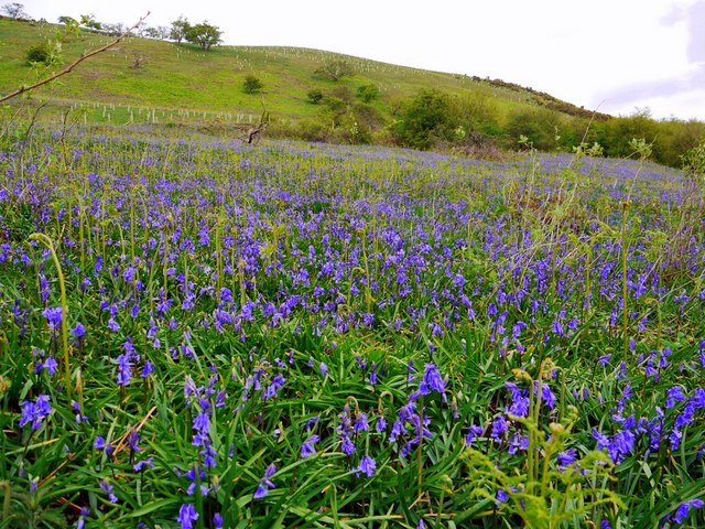
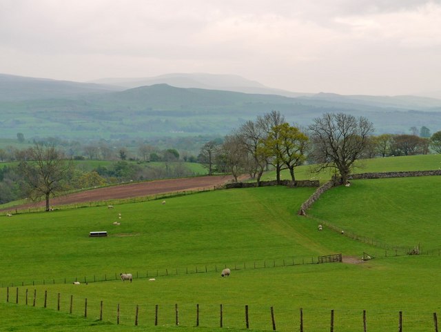
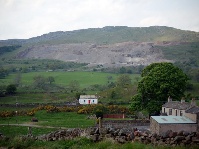
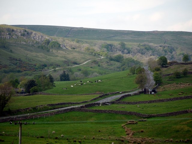
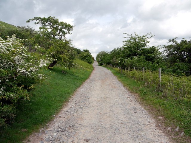
Surrounded by scenic walking trails, Church Brough offers ample opportunities for outdoor enthusiasts to explore the countryside and enjoy the natural beauty of the area. The village's proximity to the Yorkshire Dales National Park and the North Pennines Area of Outstanding Natural Beauty makes it an ideal base for exploring these stunning regions.

Overall, Church Brough is a charming and historic village that offers a peaceful and idyllic setting for residents and visitors, with its rich history, beautiful landscapes, and range of amenities.

If you have any feedback on the listing, please let us know in the comments section below.

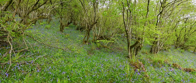
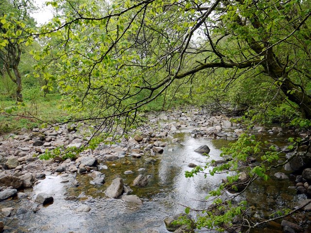
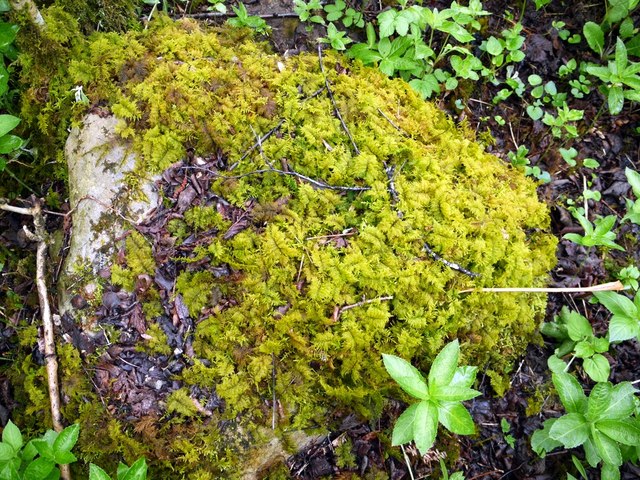
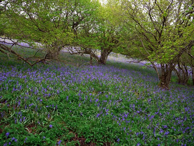
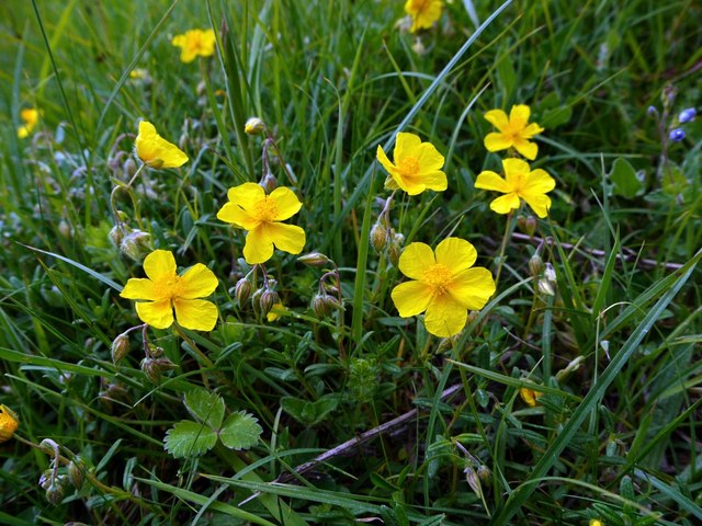
Church Brough Images

Images are sourced within 2km of 54.522239/-2.316682 or Grid Reference NY7914. Thanks to Geograph Open Source API. All images are credited.

Looking over Swindale The view from the bridleway at Helbeck looking over the wooded valley to the distant fells above Kirkby Stephen and Mallerstang.
Looking over Swindale
The view from the bridleway at Helbeck looking over the wooded valley to the distant fells above Kirkby Stephen and Mallerstang.
Track below Helbeck Quarry
Track east of Helbeck Quarry The footpath along the track which starts at the end of the minor road near Helbeck Quarry looked like a good place to walk. The extensive area of Warop Range was shown on my fairly recent 1:25000 map as starting west of Helbeck Wood <a href="https://www.geograph.org.uk/gridref/NY7816">NY7816</a> and well to the north <a href="https://www.geograph.org.uk/gridref/NY8018">NY8018</a>
However, the red flag flying here, a confusing sign which both implied that you were entering the range area but (maybe) not quite at danger for a distance 3800 metres from the flag, and the loud sound of gunfire were enough to put me off.
The range here is in use six and a half days of the week. Sunday afternoons and the few access days would be a better bet when I'm next across this way.
<span class="nowrap"><a title="http://www.mod.uk/DefenceInternet/AboutDefence/WhatWeDo/DefenceEstateandEnvironment/AccessRecreation/North/Warcop.htm" rel="nofollow ugc noopener" href="http://www.mod.uk/DefenceInternet/AboutDefence/WhatWeDo/DefenceEstateandEnvironment/AccessRecreation/North/Warcop.htm">Link</a><img style="margin-left:2px;" alt="External link" title="External link - shift click to open in new window" src="https://s1.geograph.org.uk/img/external.png" width="10" height="10"/></span>
Track east of Helbeck Quarry
The footpath along the track which starts at the end of the minor road near Helbeck Quarry looked like a good place to walk. The extensive area of Warop Range was shown on my fairly recent 1:25000 map as starting west of Helbeck Wood NY7816 and well to the north NY8018 However, the red flag flying here, a confusing sign which both implied that you were entering the range area but (maybe) not quite at danger for a distance 3800 metres from the flag, and the loud sound of gunfire were enough to put me off. The range here is in use six and a half days of the week. Sunday afternoons and the few access days would be a better bet when I'm next across this way. LinkExternal link
Bluebells above Swindale Beck
Hazel coppice and bluebells, Swindale Wood
Swindale Beck
Swindale Beck
Common Tamarisk-moss (Thuidium tamariscinum) A common and easily recognised moss growing on a boulder in Swindale Wood, near Swindale Beck.
<span class="nowrap"><a title="https://rbg-web2.rbge.org.uk/bbs/Activities/mosses/Thuidium%20tamariscinum.pdf" rel="nofollow ugc noopener" href="https://rbg-web2.rbge.org.uk/bbs/Activities/mosses/Thuidium%20tamariscinum.pdf">Link</a><img style="margin-left:2px;" alt="External link" title="External link - shift click to open in new window" src="https://s1.geograph.org.uk/img/external.png" width="10" height="10"/></span>
Common Tamarisk-moss (Thuidium tamariscinum)
A common and easily recognised moss growing on a boulder in Swindale Wood, near Swindale Beck. LinkExternal link
A carpet of bluebells in Swindale Wood
Fields east of Helbeck View south to the distinctive outline of Long Rigg Scar <a href="https://www.geograph.org.uk/photo/510493">NY8009 : Long Rigg</a> with High Seat in the distance. Birkett Hill, another hill with a distinctive profile, can be seen to the right, above the trees <a href="https://www.geograph.org.uk/photo/270752">NY7907 : Birkett Hill from Birkett Hill</a>
Fields east of Helbeck
View south to the distinctive outline of Long Rigg Scar NY8009 : Long Rigg with High Seat in the distance. Birkett Hill, another hill with a distinctive profile, can be seen to the right, above the trees NY7907 : Birkett Hill from Birkett Hill
Helbeck Quarry above Brough An active and ever expanding limestone quarry opened in the 1920s operated by the Sherburn Stone Company. It quarries limestones formed during the Dinantian Epoch of the Carboniferous Period, from approximately 327 to 316 million years ago.
Helbeck Quarry above Brough
An active and ever expanding limestone quarry opened in the 1920s operated by the Sherburn Stone Company. It quarries limestones formed during the Dinantian Epoch of the Carboniferous Period, from approximately 327 to 316 million years ago.
Road from Brough to Middleton in Teesdale The wooded valley of the Swindale Beck can be seen beyond the road.
Road from Brough to Middleton in Teesdale
The wooded valley of the Swindale Beck can be seen beyond the road.
Past the red flag, east of Helbeck Quarry This afternoon the red warning flag wasn't flying so I decided to complete the walk I had planned earlier <a href="https://www.geograph.org.uk/photo/2397684">NY8015 : Track east of Helbeck Quarry</a>
This is the track just past the gate and red flag which warns of live firing on the MOD range.
Past the red flag, east of Helbeck Quarry
This afternoon the red warning flag wasn't flying so I decided to complete the walk I had planned earlier NY8015 : Track east of Helbeck Quarry This is the track just past the gate and red flag which warns of live firing on the MOD range.
Common Rock-rose (Helianthemum nummularium) Rock-rose is abundant in the short, rabbit-grazed grassland east of Helbeck Quarry reflecting the underlying limestone rock of this area <a href="https://www.geograph.org.uk/photo/2398903">NY8015 : Helbeck Quarry above Brough</a>
Common Rock-rose (Helianthemum nummularium)
Rock-rose is abundant in the short, rabbit-grazed grassland east of Helbeck Quarry reflecting the underlying limestone rock of this area NY8015 : Helbeck Quarry above Brough
A66 east of Brough The A66 is a major road in northern England running from near Middlesbrough to Workington. The section between Scotch Corner and Penrith is a Trans-Pennine route between the A1 and M6, following an old Roman Road.
Wikipedia: <span class="nowrap"><a title="http://en.wikipedia.org/wiki/A66_road" rel="nofollow ugc noopener" href="http://en.wikipedia.org/wiki/A66_road">Link</a><img style="margin-left:2px;" alt="External link" title="External link - shift click to open in new window" src="https://s1.geograph.org.uk/img/external.png" width="10" height="10"/></span>
A66 east of Brough
The A66 is a major road in northern England running from near Middlesbrough to Workington. The section between Scotch Corner and Penrith is a Trans-Pennine route between the A1 and M6, following an old Roman Road. Wikipedia: LinkExternal link
A66 from eastbound exit from Brough
A66 east of Brough The A66 is a major road in northern England running from near Middlesbrough to Workington. The section between Scotch Corner and Penrith is a Trans-Pennine route between the A1 and M6, following an old Roman Road.
Wikipedia: <span class="nowrap"><a title="http://en.wikipedia.org/wiki/A66_road" rel="nofollow ugc noopener" href="http://en.wikipedia.org/wiki/A66_road">Link</a><img style="margin-left:2px;" alt="External link" title="External link - shift click to open in new window" src="https://s1.geograph.org.uk/img/external.png" width="10" height="10"/></span>
A66 east of Brough
The A66 is a major road in northern England running from near Middlesbrough to Workington. The section between Scotch Corner and Penrith is a Trans-Pennine route between the A1 and M6, following an old Roman Road. Wikipedia: LinkExternal link
A66 approaching Brough The A66 is a major road in northern England running from near Middlesbrough to Workington. The section between Scotch Corner and Penrith is a Trans-Pennine route between the A1 and M6, following an old Roman Road.
Wikipedia: <span class="nowrap"><a title="http://en.wikipedia.org/wiki/A66_road" rel="nofollow ugc noopener" href="http://en.wikipedia.org/wiki/A66_road">Link</a><img style="margin-left:2px;" alt="External link" title="External link - shift click to open in new window" src="https://s1.geograph.org.uk/img/external.png" width="10" height="10"/></span>
A66 approaching Brough
The A66 is a major road in northern England running from near Middlesbrough to Workington. The section between Scotch Corner and Penrith is a Trans-Pennine route between the A1 and M6, following an old Roman Road. Wikipedia: LinkExternal link
Layby on the A66 nearing Brough turnoff
Show me another place!

Church Brough is located at Grid Ref: NY7914 (Lat: 54.522239, Lng: -2.316682)

Administrative County: Cumbria

District: Eden

Police Authority: Cumbria

What 3 Words

///famed.honestly.uttering. Near Kirkby Stephen, Cumbria

Related Wikis

Nearby Amenities

Located within 500m of 54.522239,-2.316682
Brough
Alt Name: Brough under Stainmore
Alt Name 2: Market Brough
Is In: Cumbria
Is In Historic County: Westmorland
Place: village
Wikidata: Q2926314
Wikipedia: en:Brough, Cumbria
Lat/Long: 54.5266327/-2.3179826
Motorway Junction
Brough Junction
Lat/Long: 54.5242641/-2.3128628
Church Brough
Is In: Cumbria
Is In Country Code: GB
Is In County: Cumbria
Is In Historic County: Westmorland
Is In Municipality: Eden
Place: village
Source: NPE
Lat/Long: 54.5215437/-2.3192706
Verterae
Historic: archaeological_site
Is In Country Code: GB
Is In County: Cumbria
Is In Municipality: Eden
Note: exact location not clear
Source: NPE
Website: https://www.pastscape.org.uk/hob.aspx?hob_id=1060730
Wikidata: Q2926314
Wikipedia: en:Brough, Cumbria
Lat/Long: 54.5213321/-2.3239708
Bus Stop
The Square
Naptan AtcoCode: 090074101014
Naptan Bearing: W
Naptan CommonName: The Square
Naptan Indicator: opp
Naptan Landmark: Market Cross
Naptan NaptanCode: cumdadmp
Naptan Street: The Square
Naptan Verified: no
Source: naptan_import
Lat/Long: 54.5212347/-2.3199855
Bus Stop
Brough Clock
Bus: yes
Departures Board: timetable
Local Ref: AT
Naptan AtcoCode: 090074101015
Naptan Bearing: N
Naptan CommonName: Clock (N bound)
Naptan Indicator: at
Naptan Landmark: Ivy Cottages
Naptan NaptanCode: cumdadmt
Naptan Street: New road
Naptan Verified: no
Public Transport: platform
Source: naptan_import
Lat/Long: 54.5262215/-2.3185617
Bus Stop
Brough Clock
Bus: yes
Departures Board: timetable
Local Ref: AT
Naptan AtcoCode: 090074101017
Naptan Bearing: S
Naptan CommonName: Clock (S bound)
Naptan Indicator: at
Naptan Landmark: Market Square
Naptan NaptanCode: cumdadmw
Naptan Street: New road
Naptan Verified: no
Public Transport: platform
Shelter: yes
Source: naptan_import
Lat/Long: 54.5261418/-2.3183299
Bypass northbound
Naptan AtcoCode: 090074103659
Naptan Bearing: N
Naptan BusStopType: CUS
Naptan CommonName: Bypass northbound
Naptan Indicator: n/bound
Naptan Landmark: By-pass
Naptan NaptanCode: cumdadpg
Naptan Street: A685
Naptan Verified: no
Source: naptan_import
Lat/Long: 54.523566/-2.3185978
Bypass southbound
Naptan AtcoCode: 090074103660
Naptan Bearing: S
Naptan BusStopType: CUS
Naptan CommonName: Bypass southbound
Naptan Indicator: after
Naptan Landmark: By-Pass
Naptan NaptanCode: cumdadpj
Naptan Street: A685
Naptan Verified: no
Source: naptan_import
Lat/Long: 54.5236294/-2.3184283
Bus Stop
Church Brough
Lat/Long: 54.5211121/-2.3179354
Bus Stop
Church Brough
Lat/Long: 54.5210623/-2.3175234
Give Way
Lat/Long: 54.5248851/-2.3189354
Post Box
Post Box Type: lamp
Ref: CA17 99
Royal Cypher: EIIR
Lat/Long: 54.5212634/-2.319954
Cafe
Brough Castle Cafe and Ice Cream
Cuisine: ice_cream
Smoking: outside
Lat/Long: 54.5213591/-2.3221057
Brook Farm
Place: farm
Lat/Long: 54.5236034/-2.3170477
Noexit: yes
Lat/Long: 54.5239622/-2.3190473
Generator Method: photovoltaic
Generator Output Electricity: yes
Generator Source: solar
Generator Type: solar_photovoltaic_panel
Location: roof
Power: generator
Lat/Long: 54.5219231/-2.3201245
Give Way
Lat/Long: 54.5246821/-2.3189226
Give Way
Lat/Long: 54.5240626/-2.3185927
Brough Pinfold
Artist Name: Andy Goldsworthy
Artwork Type: installation
Tourism: artwork
Website: http://www.sheepfoldscumbria.co.uk/html/info/info37.htm
Lat/Long: 54.5235456/-2.3197848
Cafe
Allison's Cafè
Addr City: Brough
Addr Postcode: CA17 4AS
Addr Street: New Road
Facebook: https://www.facebook.com/p/Allisons-Caf%C3%A8-100066584361592/
Opening Hours: Mo-Sa 09:00-14:00; Su 10:00-14:00
Phone: +44 17683 42800
Lat/Long: 54.5257372/-2.3188998
Bench
Lat/Long: 54.5264513/-2.3185963
One Stop
Brand: One Stop
Brand Wikidata: Q65954217
Shop: convenience
Lat/Long: 54.5265191/-2.3189431
Community Centre
Lat/Long: 54.5264317/-2.3186243
Give Way
Direction: forward
Lat/Long: 54.5256415/-2.318853
Give Way
Direction: forward
Lat/Long: 54.5255691/-2.3187318
Defibrillator
Access: yes
Booth: KX100
Covered: booth
Defibrillator Location: in old phone box in The Square, Church Brough
Disused Amenity: telephone
Emergency: defibrillator
Man Made: telephone_box
Operator: Brough Parish Council
Lat/Long: 54.5212528/-2.3199736
Man Made: flagpole
Lat/Long: 54.5213897/-2.3196987
Bench
Lat/Long: 54.5213827/-2.3196576
Information: map
Tourism: information
Lat/Long: 54.5213846/-2.3212423
The data included in this document is from www.openstreetmap.org. The data is made available under ODbL.

Have you been to Church Brough?

Leave your review of Church Brough below (or comments, questions and feedback).