Ball Copse
Wood, Forest in Devon Mid Devon
England
Ball Copse

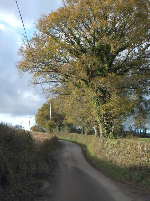
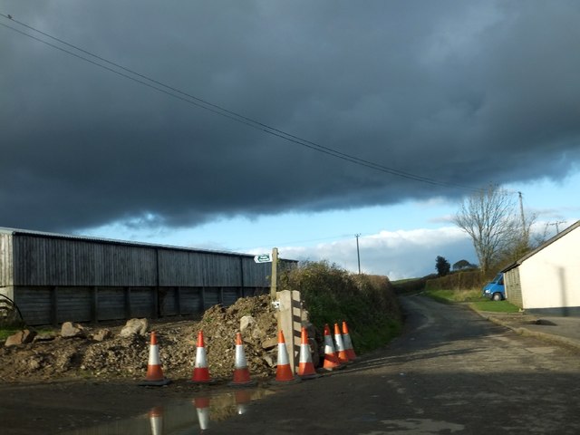
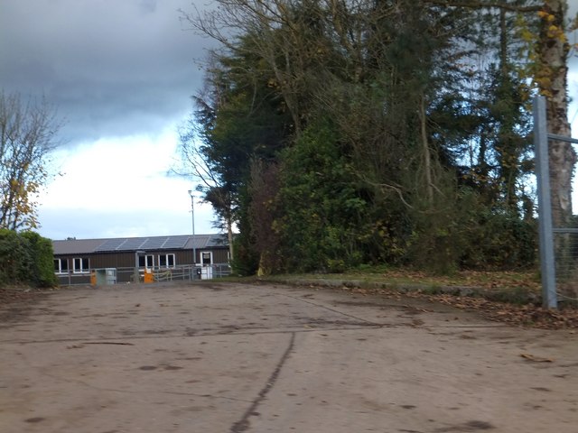
Ball Copse is a picturesque woodland located in the county of Devon, England. This enchanting forest covers an area of approximately 100 acres and is known for its diverse range of flora and fauna. Situated near the village of Newton Abbot, Ball Copse is easily accessible and attracts nature enthusiasts and hikers from all over.
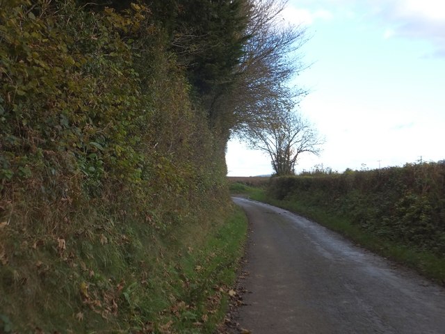
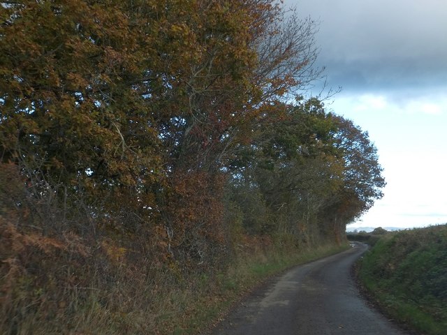
The woodland is predominantly composed of broadleaf trees, including oak, beech, and ash, which provide a dense canopy and create a tranquil atmosphere. The forest floor is covered with a carpet of wildflowers, adding bursts of color to the landscape during the spring and summer months.
Ball Copse is home to a rich variety of wildlife. Visitors can spot a range of bird species, including woodpeckers, owls, and numerous songbirds. The forest is also inhabited by small mammals such as badgers, foxes, and squirrels, which can be observed going about their daily activities.
The woodland offers a network of well-maintained trails and paths, making it an ideal destination for walking, jogging, or cycling. The paths wind through the forest, allowing visitors to explore its hidden corners and discover its natural beauty. There are also designated picnic areas where visitors can relax and enjoy the peaceful surroundings.
Ball Copse is a popular destination for nature lovers and provides a serene escape from the hustle and bustle of everyday life. Whether you are seeking a peaceful walk, a family picnic, or a chance to observe wildlife in its natural habitat, Ball Copse offers a truly magical experience for all who visit.
If you have any feedback on the listing, please let us know in the comments section below.
Ball Copse Images
Images are sourced within 2km of 50.732563/-3.7887875 or Grid Reference SX7394. Thanks to Geograph Open Source API. All images are credited.


Ball Copse is located at Grid Ref: SX7394 (Lat: 50.732563, Lng: -3.7887875)
Administrative County: Devon
District: Mid Devon
Police Authority: Devon and Cornwall
What 3 Words
///freshest.herring.camps. Near Chagford, Devon
Nearby Locations
Related Wikis

Hittisleigh
Hittisleigh is a small rural parish and village just north-east of Dartmoor in Devon. Once part of the ancient district of the Wonford Hundred, it is now...
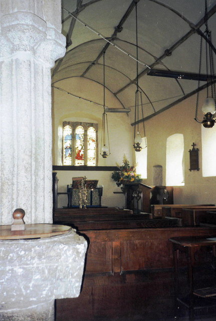
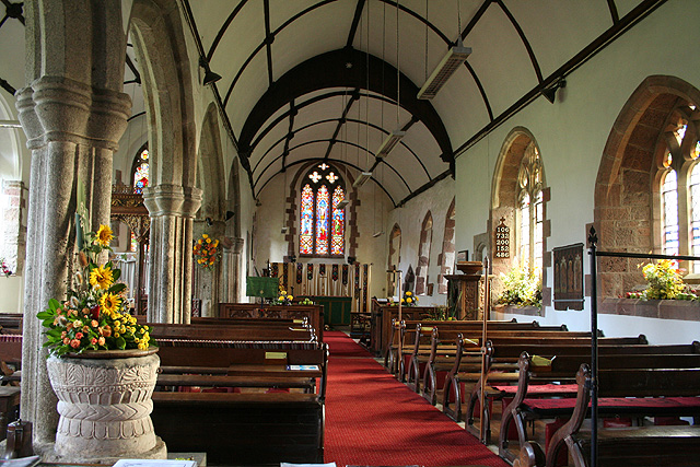
St Andrew's Church, Hittisleigh
St Andrew's Church, Hittisleigh, is an Anglican parish church in Hittisleigh in Mid Devon. It is listed Grade I on the National Heritage List for England...

Crockernwell
Crockernwell is a small village with a Methodist church. It is located 2 miles west of Cheriton Bishop and 12 miles west of Exeter, Devon, England. �...
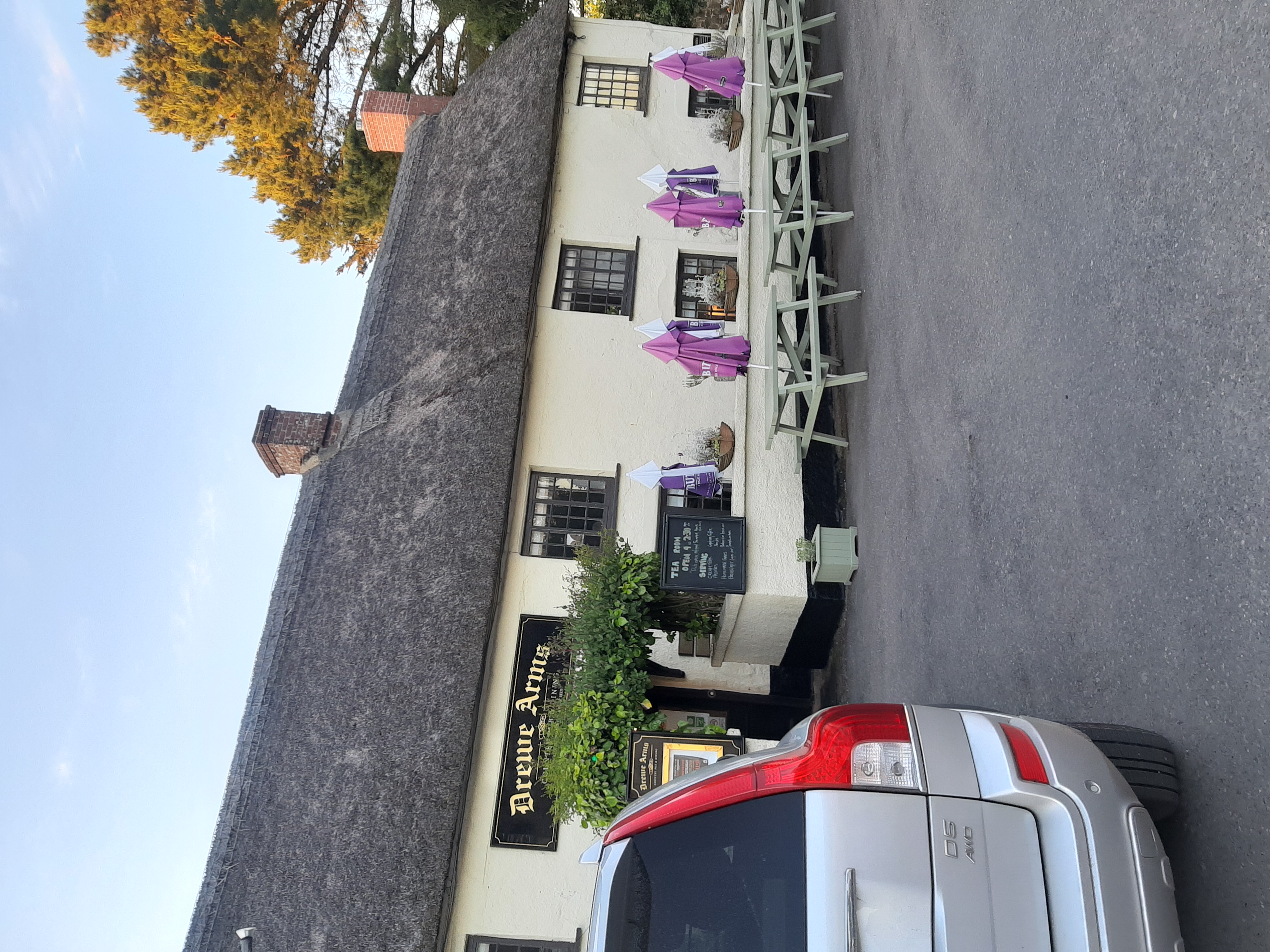
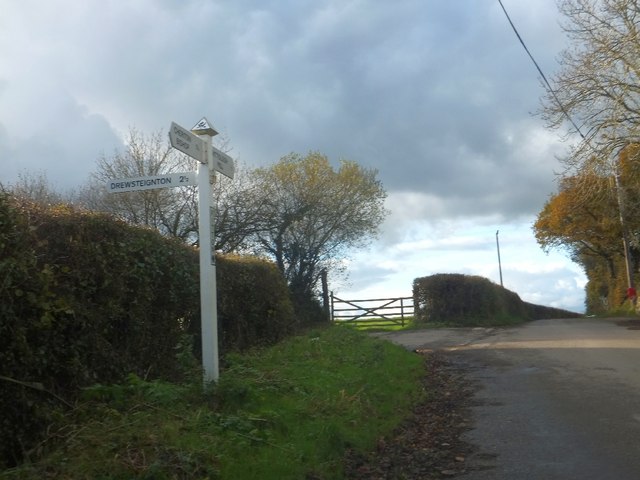
Drewe Arms, Drewsteignton
The Drewe Arms is a Grade II* listed public house on the north side of The Square in Drewsteignton, Devon. Built in the 17th century, the building was...

Drewsteignton
Drewsteignton is a village, civil parish and former manor within the administrative area of West Devon, England, also lying within the Dartmoor National...

List of settlements in Devon by population
This list is of towns and cities in Devon in order of their population, according to the 2011 census data from the Office for National Statistics. It comprises...
Cheriton Bishop
Cheriton Bishop is a village and civil parish situated on the northern borders of Dartmoor National park between Exeter and Okehampton, in Devon, England...
Prestonbury Castle
Prestonbury Castle is an Iron Age Hill fort on the north east edge of Dartmoor in Devon, England. Situated on a massive hilltop some 240 metres above sea...
Nearby Amenities
Located within 500m of 50.732563,-3.7887875Have you been to Ball Copse?
Leave your review of Ball Copse below (or comments, questions and feedback).