Ball Copse
Wood, Forest in Devon Mid Devon
England
Ball Copse

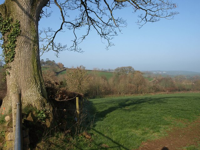
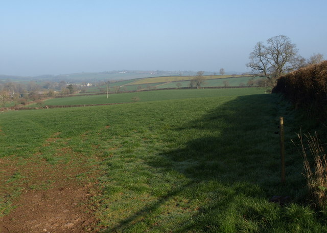
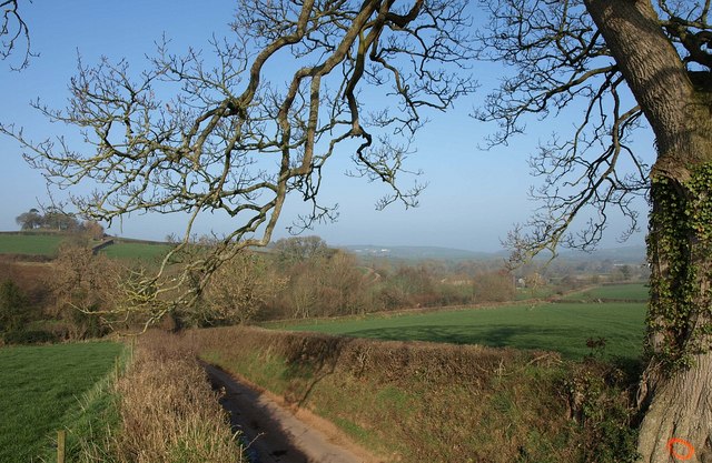
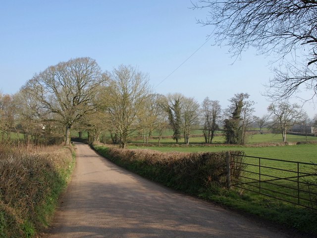
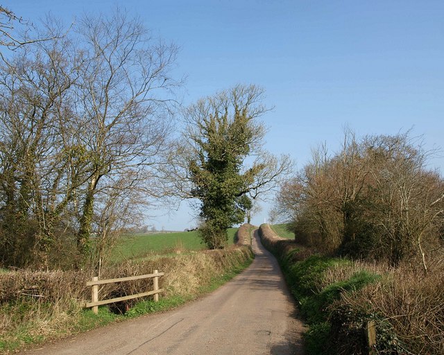
Ball Copse is a charming woodland located in the county of Devon, England. Situated near the small village of Copplestone, this forested area covers approximately 100 acres of land. The copse is primarily composed of native broadleaf trees, such as oak, beech, and ash, which create a diverse and verdant landscape.
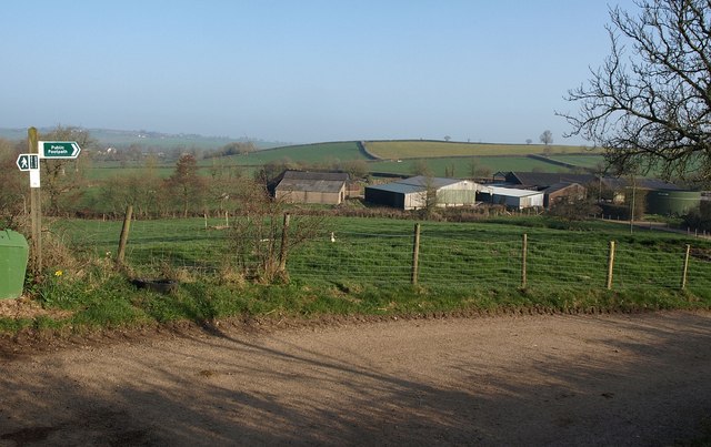
The woodland is a haven for nature enthusiasts and provides a tranquil escape from the hustle and bustle of everyday life. It offers a variety of recreational activities, including walking, hiking, and birdwatching. The well-maintained trails wind through the copse, allowing visitors to explore its beauty at their own pace.
Ball Copse is home to a rich array of wildlife, making it an ideal spot for nature lovers. Bird species such as woodpeckers, nuthatches, and tawny owls can be spotted among the treetops, while the forest floor hosts a range of mammals, including badgers, foxes, and deer.
In addition to its natural beauty, Ball Copse also holds historical significance. It has been part of the local landscape for centuries and has witnessed the passage of time. Ancient earthworks and remnants of old settlements can be found within the copse, offering a glimpse into the region's past.
Overall, Ball Copse in Devon is a captivating woodland that combines natural splendor with historical charm. Its lush vegetation, diverse wildlife, and peaceful ambiance make it a must-visit destination for those seeking a connection with nature and a taste of the region's history.
If you have any feedback on the listing, please let us know in the comments section below.
Ball Copse Images
Images are sourced within 2km of 50.842692/-3.7955395 or Grid Reference SS7306. Thanks to Geograph Open Source API. All images are credited.


Ball Copse is located at Grid Ref: SS7306 (Lat: 50.842692, Lng: -3.7955395)
Administrative County: Devon
District: Mid Devon
Police Authority: Devon and Cornwall
What 3 Words
///unearthly.finds.snippet. Near Morchard Bishop, Devon
Nearby Locations
Related Wikis
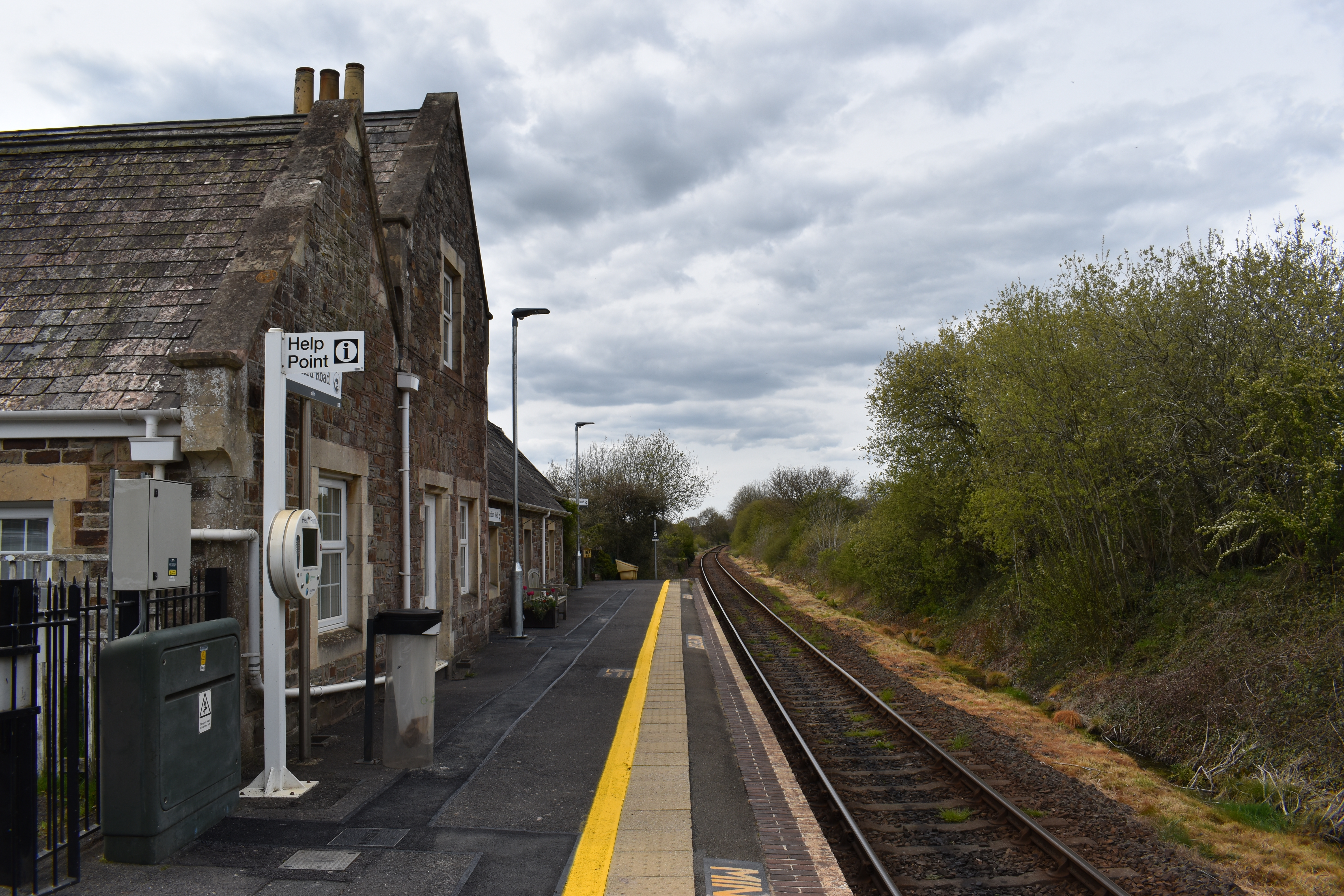
Morchard Road railway station
Morchard Road railway station is located in the village of Down St Mary in Devon, England. It is named after the village of Morchard Bishop which lies...

Lapford railway station
Lapford railway station is a rural station on the Tarka Line, serving the village of Lapford in Devon. It is 18 miles 35 chains (29.7 km) from Exeter Central...

Morchard Road
Morchard Road is a small hamlet in mid Devon, UK. It has a pub, the Devonshire Dumpling. It also has a railway station on the Tarka Line. == External... ==

Down St Mary
Down St Mary is a small village, and civil parish off the A377 in Mid Devon in the English county of Devon. It has a population of 316. == References... ==
Nearby Amenities
Located within 500m of 50.842692,-3.7955395Have you been to Ball Copse?
Leave your review of Ball Copse below (or comments, questions and feedback).