North Wood
Wood, Forest in Devon South Hams
England
North Wood
North Wood is a picturesque forest located in the county of Devon, England. Situated near the town of Wood, this woodland area covers a sprawling expanse of approximately 500 acres. It is a popular destination for nature enthusiasts, hikers, and those seeking tranquility amidst the beauty of the outdoors.
The forest is characterized by its diverse range of trees, which includes oak, beech, and birch, among others. These trees provide a rich habitat for numerous species of wildlife, making it a haven for birdwatchers and animal lovers. Visitors may spot a variety of birds, such as woodpeckers and owls, as well as small mammals like squirrels and rabbits.
North Wood features several well-maintained walking trails that wind through its enchanting landscape. These paths offer visitors the opportunity to explore the forest at their own pace, providing a peaceful and serene environment for reflection and relaxation. Along the way, there are also designated picnic areas where visitors can enjoy a leisurely meal amidst the natural surroundings.
Moreover, the forest is home to a small visitor center that provides information about the area's flora and fauna, as well as educational resources for children and adults. The center also offers guided tours and workshops to enhance visitors' understanding and appreciation of the forest ecosystem.
Overall, North Wood in Devon is a captivating destination, offering a tranquil escape from the hustle and bustle of everyday life. With its diverse wildlife, well-maintained trails, and educational opportunities, it is a place that allows visitors to reconnect with nature and enjoy the beauty of the great outdoors.
If you have any feedback on the listing, please let us know in the comments section below.
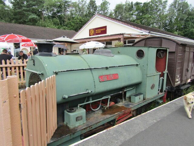
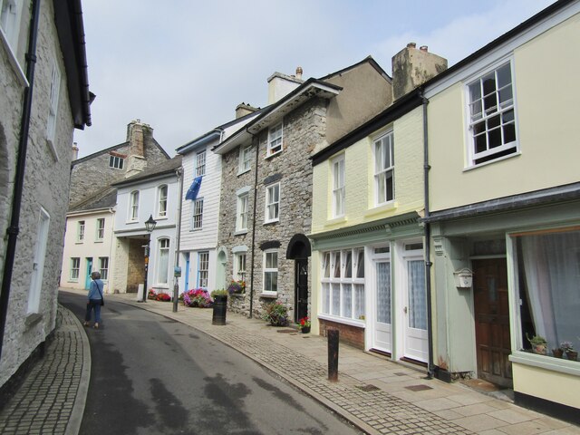
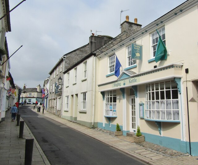
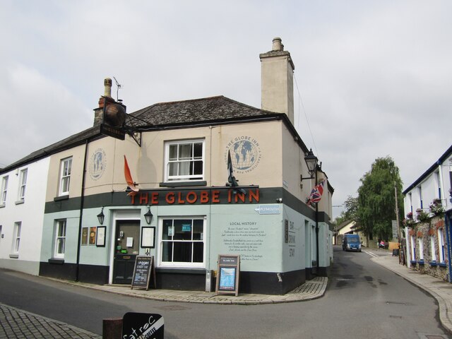
North Wood Images
Images are sourced within 2km of 50.497153/-3.7864624 or Grid Reference SX7367. Thanks to Geograph Open Source API. All images are credited.


North Wood is located at Grid Ref: SX7367 (Lat: 50.497153, Lng: -3.7864624)
Administrative County: Devon
District: South Hams
Police Authority: Devon and Cornwall
What 3 Words
///indicates.dates.sting. Near Buckfastleigh, Devon
Nearby Locations
Related Wikis

Buckfast
Buckfast is a small village near Buckfastleigh in Teignbridge district, Devon, England, on the bank of the River Dart. It is the home of Buckfast Abbey...

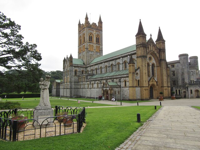
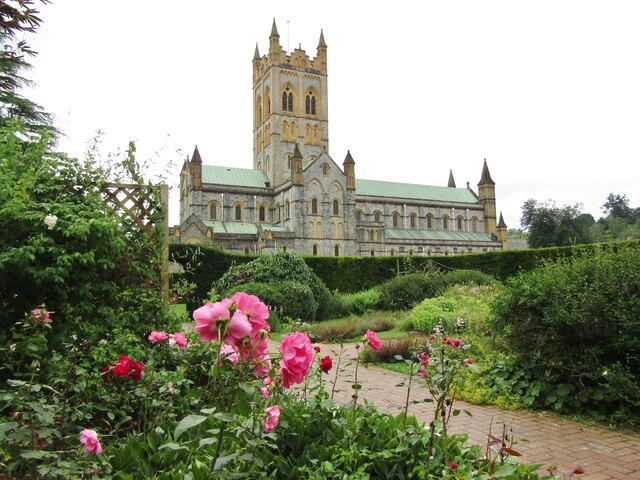
Buckfast Abbey
Buckfast Abbey forms part of an active Benedictine monastery at Buckfast, near Buckfastleigh, Devon, England. Buckfast first became home to an abbey in...
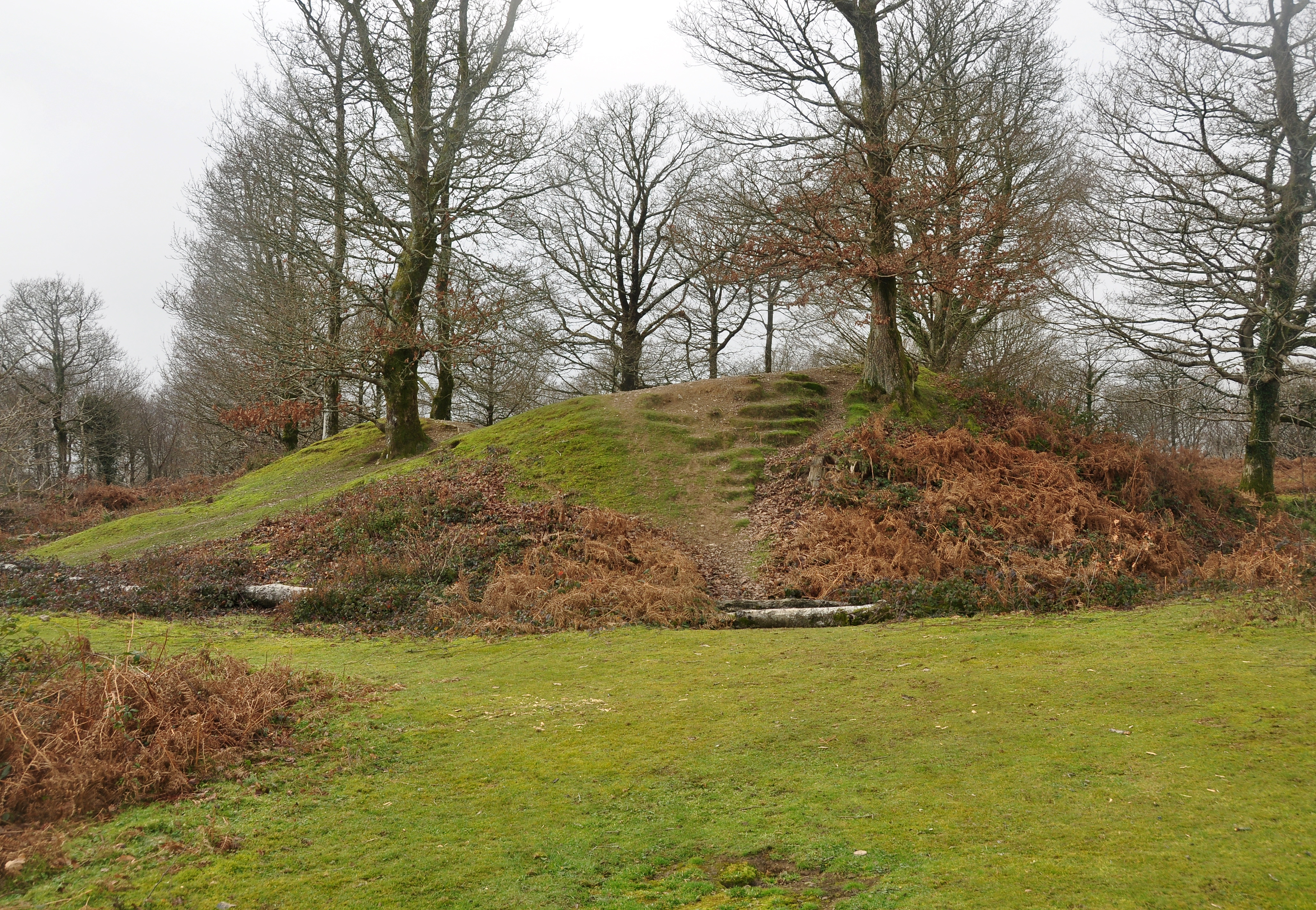
Hembury Castle, Buckfast
Hembury Castle is an Iron Age hillfort about a mile north-west of the village of Buckfast on the south-eastern edge of Dartmoor in Devon, England (grid...

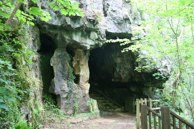
Pridhamsleigh Cavern
Pridhamsleigh Cavern is a cave on the outskirts of Ashburton, Devon, England. It is approximately 1.1 kilometres in length with a total depth of just over...
Bakers Pit
Bakers Pit is a phreatic maze cave system near Buckfastleigh, Devon, England. It was first opened in 1847 by quarrying activities.Bakers Pit is entered...
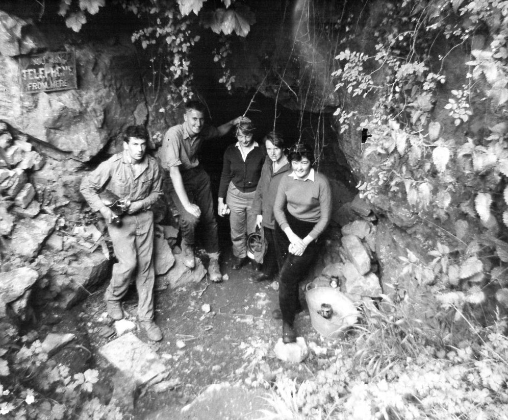
Joint Mitnor Cave
Joint Mitnor Cave, also known as Bone Cave, is a limestone cave situated in the now disused Higher Kiln Quarry near Buckfastleigh, in Devon, England. The...
Reed's Cave
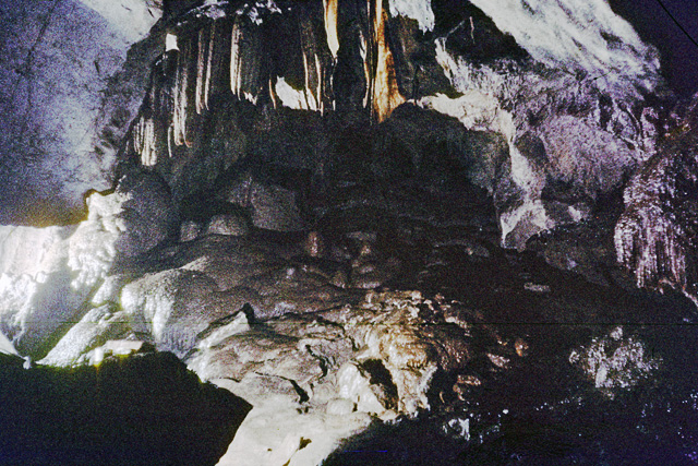
Reed's cave is a cave in Higher Kiln Quarry near Buckfastleigh, Dartmoor, Devon. It has many formations including the unique Little Man formation, which...

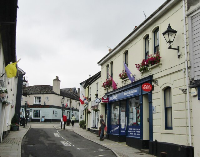
Buckfastleigh
Buckfastleigh is a market town and civil parish in Devon, England situated beside the Devon Expressway (A38) at the edge of the Dartmoor National Park...
Nearby Amenities
Located within 500m of 50.497153,-3.7864624Have you been to North Wood?
Leave your review of North Wood below (or comments, questions and feedback).