Andoversford

Settlement in Gloucestershire Cotswold

England

Andoversford

A436 at New Farm
A436 at New Farm Credit: Colin Pyle

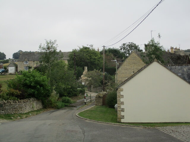
Andoversford is a small village located in the county of Gloucestershire, England. Situated in the heart of the Cotswolds, it lies approximately six miles east of Cheltenham and five miles west of Bourton-on-the-Water. The village is nestled amidst picturesque countryside, offering stunning views of rolling hills and lush greenery.

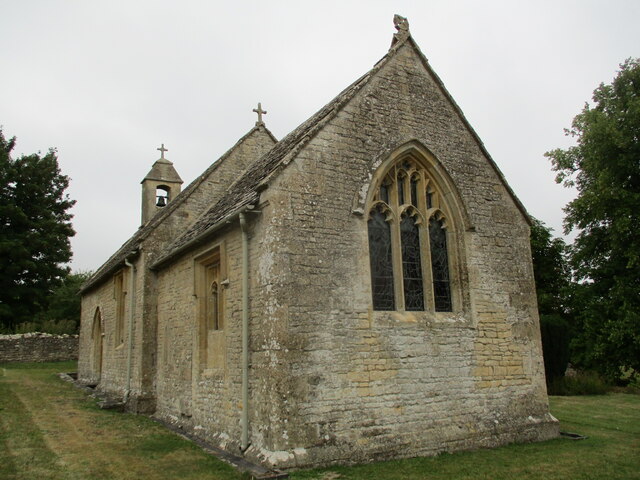
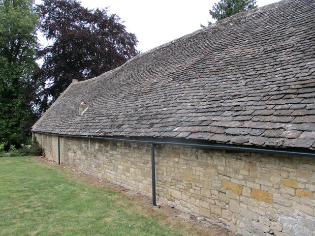
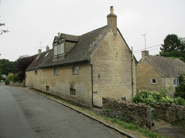
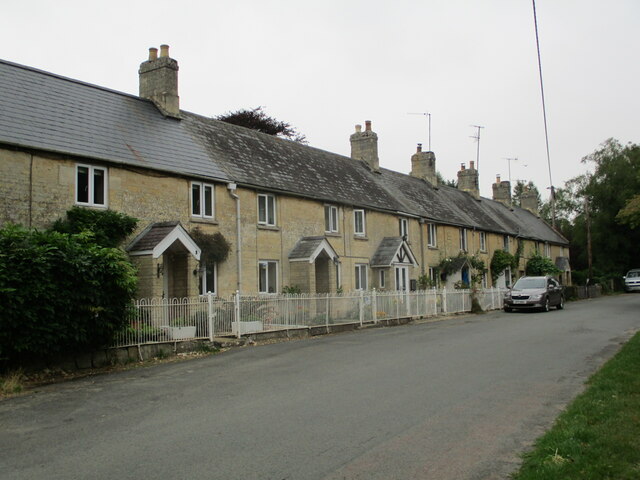
With a population of around 600 residents, Andoversford has a close-knit community feel. The village is known for its charming character, with many traditional Cotswold stone houses and buildings lining its streets. The local architecture reflects the area's rich history, with some properties dating back to the 17th century.

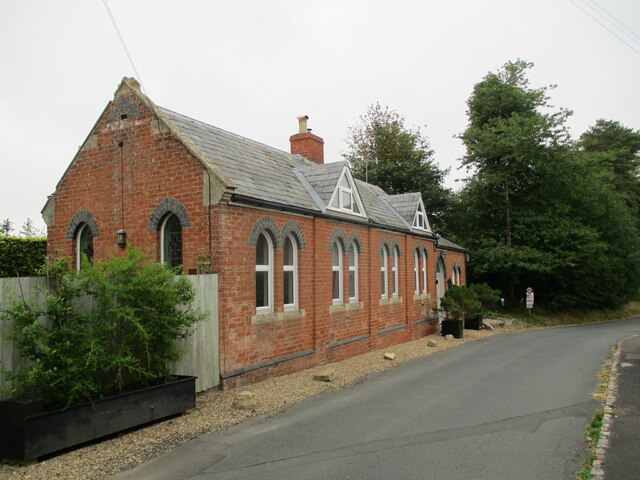
Despite its small size, Andoversford boasts a range of amenities. The village is home to a primary school, providing education for the local children. It also has a village hall, which hosts various community events and activities throughout the year. Additionally, there are a few local businesses, including a post office and a pub, where residents and visitors can enjoy a meal or a drink.

The surrounding countryside offers ample opportunities for outdoor pursuits. Andoversford is located near several walking trails and bridleways, making it popular among hikers, cyclists, and horse riders. The nearby Cotswold Way provides stunning panoramic views and is a favorite among nature enthusiasts.

In conclusion, Andoversford is a picturesque village in Gloucestershire, offering a peaceful and idyllic setting for its residents and visitors. Its rich history, natural beauty, and sense of community make it a delightful place to live or explore.

If you have any feedback on the listing, please let us know in the comments section below.
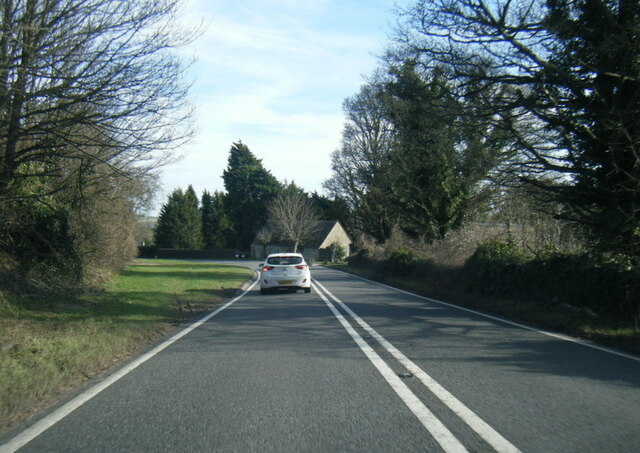
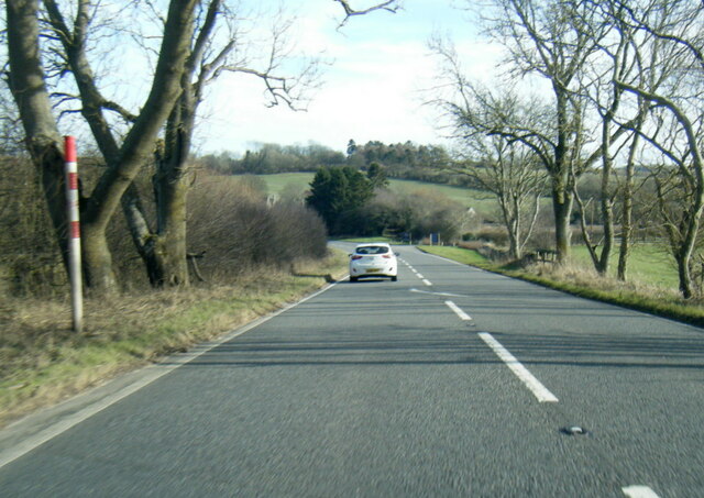
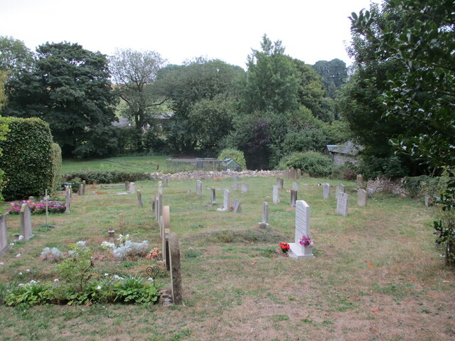
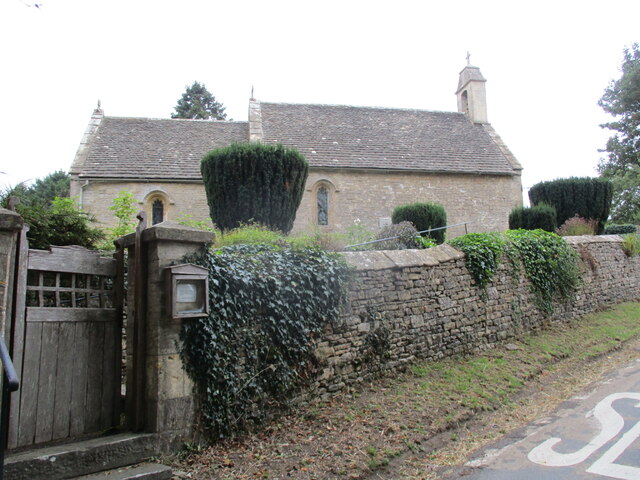
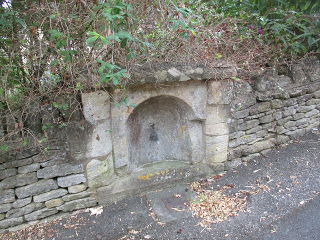
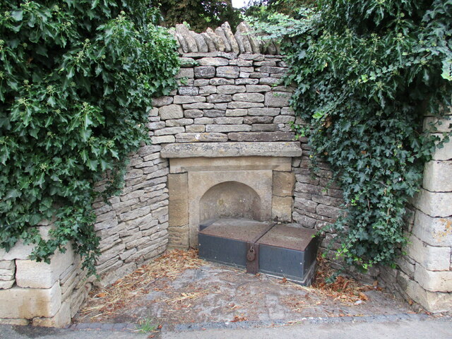
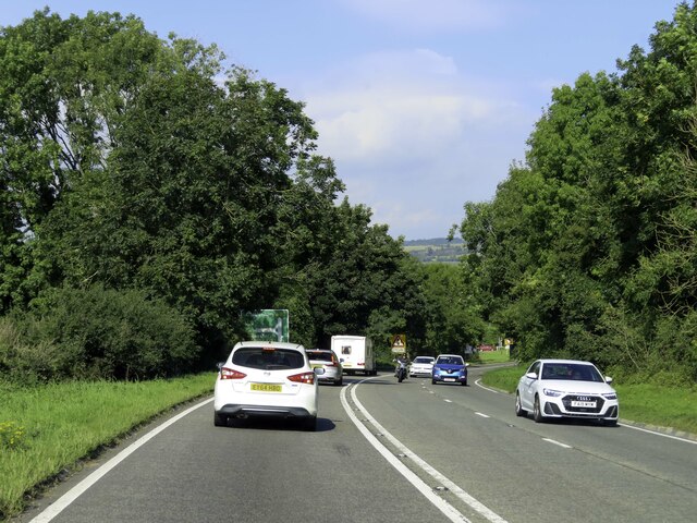
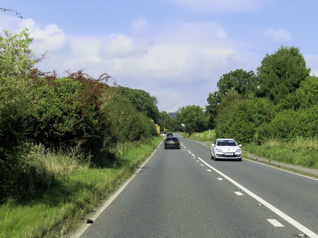
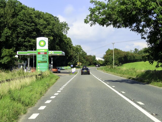
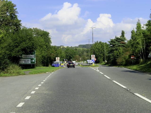
Andoversford Images

Images are sourced within 2km of 51.87513/-1.965977 or Grid Reference SP0219. Thanks to Geograph Open Source API. All images are credited.

A436 at New Farm
A436 at New Farm
A436 near Shipton Golf Course
Cemetery, Shipton
Cemetery, Shipton
St Mary's church, Shipton Solers Thirteenth century church with later alterations <span class="nowrap"><a title="https://historicengland.org.uk/listing/the-list/list-entry/1341358?section=official-list-entry" rel="nofollow ugc noopener" href="https://historicengland.org.uk/listing/the-list/list-entry/1341358?section=official-list-entry">Link</a><img style="margin-left:2px;" alt="External link" title="External link - shift click to open in new window" src="https://s1.geograph.org.uk/img/external.png" width="10" height="10"/></span>
St Mary's church, Shipton Solers
Thirteenth century church with later alterations LinkExternal link
Barn at Shipton Solers Manor Probably dates from the sixteenth century <span class="nowrap"><a title="https://historicengland.org.uk/listing/the-list/list-entry/1341359?section=official-list-entry" rel="nofollow ugc noopener" href="https://historicengland.org.uk/listing/the-list/list-entry/1341359?section=official-list-entry">Link</a><img style="margin-left:2px;" alt="External link" title="External link - shift click to open in new window" src="https://s1.geograph.org.uk/img/external.png" width="10" height="10"/></span>
Barn at Shipton Solers Manor
Probably dates from the sixteenth century LinkExternal link
Houses at Shipton Oliffe
Former Methodist chapel, Shipton Oliffe Now a house.
Former Methodist chapel, Shipton Oliffe
Now a house.
Church Row, Shipton Oliffe
St Oswald's church, Shipton Oliffe Twelfth and thirteenth century church <span class="nowrap"><a title="https://historicengland.org.uk/listing/the-list/list-entry/1341338?section=official-list-entry" rel="nofollow ugc noopener" href="https://historicengland.org.uk/listing/the-list/list-entry/1341338?section=official-list-entry">Link</a><img style="margin-left:2px;" alt="External link" title="External link - shift click to open in new window" src="https://s1.geograph.org.uk/img/external.png" width="10" height="10"/></span>
St Oswald's church, Shipton Oliffe
Twelfth and thirteenth century church LinkExternal link
Monuments in the churchyard, Shipton Oliffe The one closest to the church is to George and Elizabeth Fletcher. The one closest to the camera is to Thomas and Mary Church and Thomas Freeman. Both are listed <span class="nowrap"><a title="https://historicengland.org.uk/listing/the-list/list-entry/1155681?section=official-list-entry" rel="nofollow ugc noopener" href="https://historicengland.org.uk/listing/the-list/list-entry/1155681?section=official-list-entry">Link</a><img style="margin-left:2px;" alt="External link" title="External link - shift click to open in new window" src="https://s1.geograph.org.uk/img/external.png" width="10" height="10"/></span>
Monuments in the churchyard, Shipton Oliffe
The one closest to the church is to George and Elizabeth Fletcher. The one closest to the camera is to Thomas and Mary Church and Thomas Freeman. Both are listed LinkExternal link
View towards the ford, Shipton Oliffe
Water source, Shipton Oliffe One of two in the centre of the village.
Water source, Shipton Oliffe
One of two in the centre of the village.
Water source, Shipton Oliffe One of two in the centre of the village.
Water source, Shipton Oliffe
One of two in the centre of the village.
The A40 heading towards Cheltenham
BP filling station by the A40
The A40 at Andoversford
Show me another place!

Andoversford is located at Grid Ref: SP0219 (Lat: 51.87513, Lng: -1.965977)

Administrative County: Gloucestershire

District: Cotswold

Police Authority: Gloucestershire

What 3 Words

///promotion.seriously.tutorial. Near Charlton Kings, Gloucestershire

Nearby Locations

Andoversford

Related Wikis

Andoversford and Dowdeswell railway station

Andoversford and Dowdeswell railway station was on the Midland and South Western Junction Railway in Gloucestershire. The station opened to passengers...

Andoversford Junction railway station

Andoversford Junction railway station was in Gloucestershire on the Great Western Railway's Banbury and Cheltenham Direct Railway that opened in 1881....

Sandywell Park

Sandywell Park is an Jacobean Georgian manor house, five miles east of Cheltenham in Gloucestershire, England. Built in 1704 by Henry Brett, it was extended...

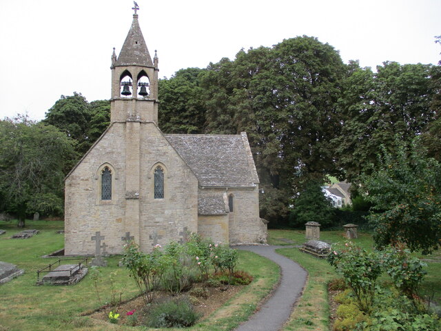
St Mary's Church, Shipton Solars

St Mary's Church is a redundant Anglican church in the village of Shipton Sollars, Gloucestershire, England under the care of The Churches Conservation...

Whittington Court

Whittington Court is an Elizabethan manor house, five miles east of Cheltenham in Gloucestershire, England. Adjacent to the house is the Whittington parish...

Whittington, Gloucestershire

Whittington, Gloucestershire is a village and rural parish in the county of Gloucestershire in England, United Kingdom. == Location == Whittington, Gloucestershire...

Church of St Oswald, Shipton Oliffe

The Anglican Church of St Oswald at Shipton Oliffe in Shipton in the Cotswold District of Gloucestershire, England was built in the 12th century. It is...

Andoversford

Andoversford is a village and civil parish in the Cotswold District of Gloucestershire, England, about 5 miles (8 km) east of Cheltenham. The village is...

Related Videos

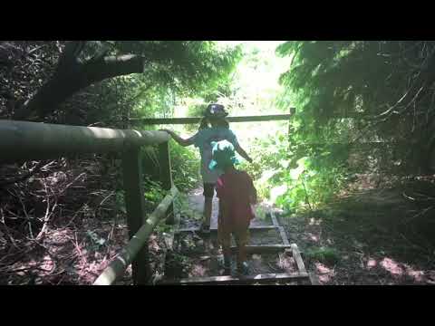
Quintessential English Countryside & Village Morning Walk

So, today we are out and about walking in the micro village of Whittington which is located about four miles south east of the Spa ...

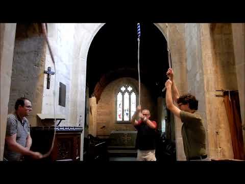
Original Singles at Sevenhampton, Gloucestershire

An extract from a peal (yes, really!) on this Gloucestershire 3 - comprising extents 44-53 of 840. The peal was arranged and rung ...

Choosing A Real Christmas Tree 🎄- Cotswolds - Dowdeswell Forestry

It's that time of the year where we go and pick out our Christmas tree We love having a real tree, it's traditional, it smells good ...

Nearby Amenities

Located within 500m of 51.87513,-1.965977
Andoversford
Is In: Gloucestershire, England, UK
Place: village
Source: NPE
Lat/Long: 51.875745/-1.9664454
Andoversford Junction
Historic Railway: junction
Lat/Long: 51.8780088/-1.9697837
Shop: convenience
Lat/Long: 51.8769224/-1.9690685
Bus Stop
Cattle Market
Bus: yes
Fixme: check new name
Naptan AtcoCode: 1600GL123
Naptan Bearing: SE
Naptan CommonName: Cattle Market
Naptan Indicator: Opp
Naptan NaptanCode: glogadwp
Naptan Street: Station Rd
Naptan Verified: no
Public Transport: platform
Source: naptan_import
Lat/Long: 51.8766762/-1.9674458
Bus Stop
Cattle Market
Bus: yes
Fixme: check new name
Naptan AtcoCode: 1600GL124
Naptan Bearing: NW
Naptan CommonName: Cattle Market
Naptan NaptanCode: glogadwj
Naptan Street: Station Rd
Naptan Verified: no
Public Transport: platform
Source: naptan_import
Lat/Long: 51.8766313/-1.9676347
Bus Stop
Hunter's Way
Bus: yes
Naptan AtcoCode: 1600GLC237
Naptan Bearing: SE
Naptan CommonName: Hunter's Way
Naptan Indicator: Opp
Naptan NaptanCode: glogadad
Naptan Street: Station Rd
Naptan Verified: no
Public Transport: platform
Source: naptan_import
Lat/Long: 51.8778728/-1.9704375
Bus Stop
Hunter's Way
Bus: yes
Naptan AtcoCode: 1600GLC238
Naptan Bearing: NW
Naptan CommonName: Hunter's Way
Naptan NaptanCode: glodwtwm
Naptan Street: Station Rd
Naptan Verified: no
Public Transport: platform
Source: naptan_import
Lat/Long: 51.8778819/-1.9708443
Bus Stop
Templefields & Crossfields
Bus: yes
Naptan AtcoCode: 1600GLC557
Naptan Bearing: SW
Naptan CommonName: Templefields & Crossfields
Naptan Indicator: Opp
Naptan NaptanCode: glogadgt
Naptan Street: Gloucester Rd
Naptan Verified: no
Public Transport: platform
Source: naptan_import
Lat/Long: 51.8720736/-1.9709788
Bus Stop
Templefields & Crossfields
Bus: yes
Naptan AtcoCode: 1600GLC558
Naptan Bearing: NE
Naptan CommonName: Templefields & Crossfields
Naptan NaptanCode: glogadgw
Naptan Street: Gloucester Rd
Naptan Verified: no
Public Transport: platform
Source: naptan_import
Lat/Long: 51.8722264/-1.9708044
Bus Stop
Station Rd
Bus: yes
Naptan AtcoCode: 1600GLC583
Naptan Bearing: W
Naptan CommonName: Station Rd
Naptan Indicator: Opp
Naptan NaptanCode: glogagat
Naptan Street: Gloucester Rd
Naptan Verified: no
Public Transport: platform
Source: naptan_import
Lat/Long: 51.8748146/-1.9660963
Bus Stop
Station Rd
Bus: yes
Naptan AtcoCode: 1600GLC584
Naptan Bearing: E
Naptan CommonName: Station Rd
Naptan NaptanCode: glogagda
Naptan Street: Gloucester Rd
Naptan Verified: no
Public Transport: platform
Source: naptan_import
Lat/Long: 51.8748955/-1.966009
Traffic Signals
Lat/Long: 51.8757969/-1.9646747
Traffic Signals
Lat/Long: 51.8758105/-1.9645689
Traffic Signals
Lat/Long: 51.8759535/-1.9643669
Traffic Signals
Lat/Long: 51.8760298/-1.964549
Andoversford and Dowdeswell
Historic Railway: station
Railway: site
Wikidata: Q4754639
Lat/Long: 51.8744755/-1.9648706
Barrier: stile
Lat/Long: 51.8753193/-1.9699226
Dales
Shop: convenience
Lat/Long: 51.8767758/-1.968156
Entrance: main
Lat/Long: 51.8779413/-1.9703574
Post Office
Andoversford Post Office
Addr City: Cheltenham
Addr Country: GB
Addr Postcode: GL54 4HP
Addr Street: Station Road
Addr Village: Andoversford
Brand: Post Office
Brand Wikidata: Q1783168
Opening Hours: Mo-Fr 09:00-17:30; Sa 09:00-12:30
Ref Pol Id: 13002
Website: https://www.postoffice.co.uk/branch-finder/3295230/andoversford
Lat/Long: 51.8776317/-1.9702534
Barrier: kissing_gate
Lat/Long: 51.8743672/-1.9640945
Bench
Lat/Long: 51.8761971/-1.966719
Telephone
Operator: BT
Lat/Long: 51.8768279/-1.9677356
Generator Source: solar
Power: generator
Lat/Long: 51.8775474/-1.9703628
HE Ref: 1089352
Historic: boundary_stone
Listed Status: Grade II
Lat/Long: 51.8737309/-1.9677749
Telephone
Defibrillator
Booth: K6
Covered: booth
Defibrillator Location: inside red phone box by the playing field, Andoversford
Emergency: defibrillator
Lat/Long: 51.8722869/-1.9707354
The data included in this document is from www.openstreetmap.org. The data is made available under ODbL.

Have you been to Andoversford?

Leave your review of Andoversford below (or comments, questions and feedback).