Christchurch
Settlement in Cambridgeshire Fenland
England
Christchurch
Christchurch is a picturesque village located in the county of Cambridgeshire, England. Situated just a few miles northwest of the historic city of Cambridge, Christchurch is nestled in the heart of the beautiful Cambridgeshire countryside.
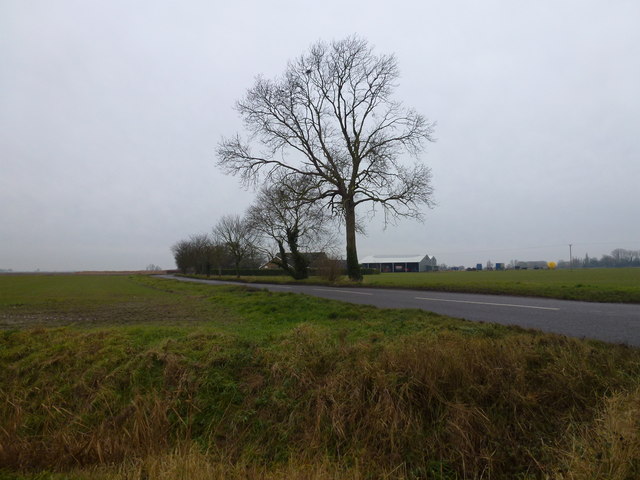
The village is renowned for its idyllic setting, with charming thatched cottages, well-manicured gardens, and tree-lined streets. It exudes a sense of tranquility and offers a peaceful escape from the hustle and bustle of city life. The River Cam flows through Christchurch, adding to its scenic appeal and providing opportunities for boating and fishing.
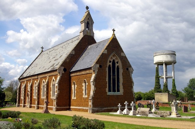
One of the highlights of Christchurch is its historic church, which dates back to the 12th century. This Grade I listed building features stunning medieval architecture and is a testament to the village's rich heritage. The churchyard is a peaceful spot, offering a place for quiet reflection.
Despite its small size, Christchurch has a strong sense of community. The village has a friendly and welcoming atmosphere, and residents often come together for various social events and activities. The local pub is a popular gathering place, where locals and visitors can enjoy a pint of ale and engage in lively conversation.
Nature enthusiasts will appreciate the surrounding countryside, which offers ample opportunities for walking, cycling, and exploring the nearby nature reserves. The village is also conveniently located for those wishing to explore the attractions of Cambridge, with its renowned university, historic sites, and cultural events.
Overall, Christchurch is a charming and peaceful village that offers a delightful escape into the English countryside, combined with easy access to the nearby city of Cambridge.
If you have any feedback on the listing, please let us know in the comments section below.
Christchurch Images
Images are sourced within 2km of 52.547198/0.200407 or Grid Reference TL4996. Thanks to Geograph Open Source API. All images are credited.


Christchurch is located at Grid Ref: TL4996 (Lat: 52.547198, Lng: 0.200407)
Division: Isle of Ely
Administrative County: Cambridgeshire
District: Fenland
Police Authority: Cambridgeshire
What 3 Words
///enter.september.thuds. Near Upwell, Norfolk
Nearby Locations
Related Wikis

Christchurch, Cambridgeshire
Christchurch is a village in the Fenland district of Cambridgeshire, England. The population (including Tipp's End) of the civil parish at the 2011 Census...

Tipps End
Tipps End is an English hamlet on the B1100 road between Welney and Christchurch, Cambridgeshire. It is also sometimes referred to as "Tips End". It is...

Three Holes
Three Holes is a hamlet near Upwell in Norfolk, England. Located on the border of Norfolk and Cambridgeshire, the two sides of the river are in separate...
Welney
Welney is a village and civil parish in the Fens of England, and the county of Norfolk. The village is about 10 miles (16 km) south-west of the town of...
Marmont Priory
Marmont Priory (also Welles or Mirmaud) was a priory for Gilbertine Canons in Cambridgeshire, England. It was established by landowner Ralph de Hauvill...
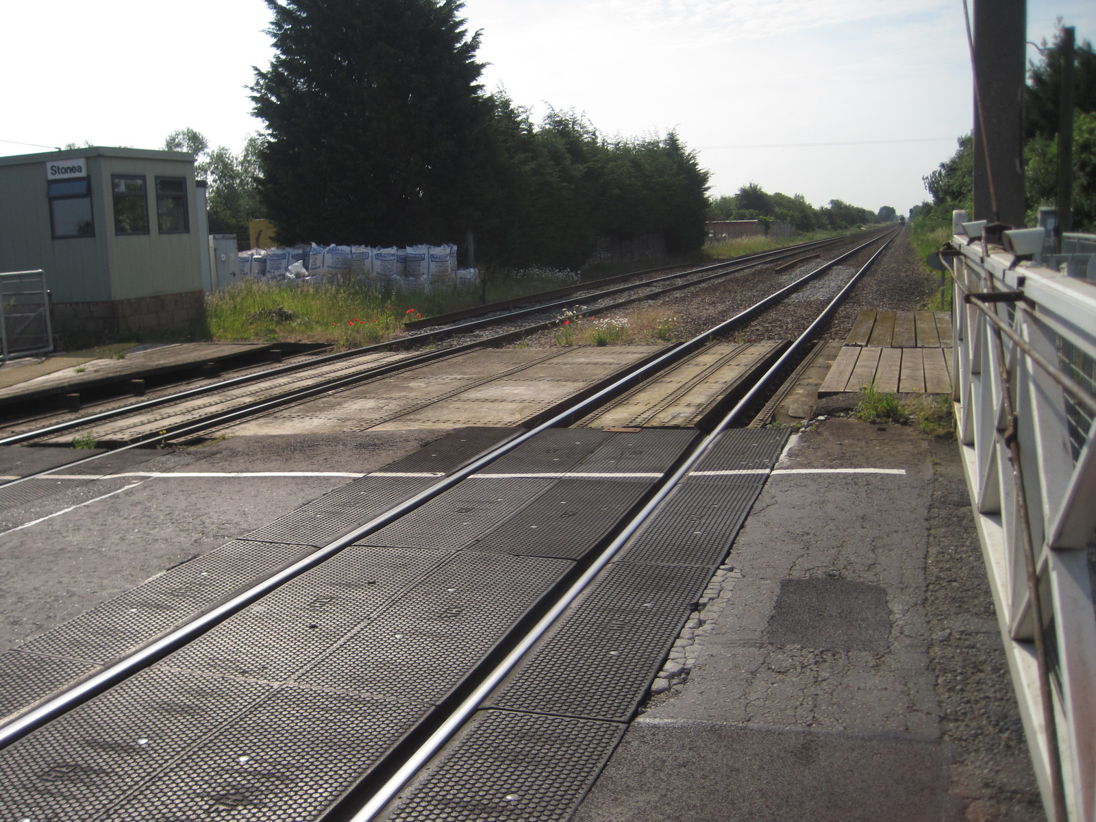
Stonea railway station
Stonea railway station is a former railway station serving the small village of Stonea, Cambridgeshire. Although the station closed in 1966, the line is...
Dunhams Wood
Dunhams Wood is a privately owned broadleaved woodland that is occasionally open to the public. The area was planted over a period of 6 years starting...

Upwell
Upwell is a village and civil parish in the English county of Norfolk. Upwell village is on the A1101 road, as is Outwell, its conjoined village at the...
Nearby Amenities
Located within 500m of 52.547198,0.200407Have you been to Christchurch?
Leave your review of Christchurch below (or comments, questions and feedback).