Lower Vipershill Plantation

Wood, Forest in Devon North Devon

England

Lower Vipershill Plantation

Beacon Cross An isolated crossroads.  Many of the crossroads here on high ground between Dartmoor and Exmoor have beacons.
Beacon Cross Credit: Dave D

Lower Vipershill Plantation is a picturesque woodland located in the county of Devon, England. Situated in the heart of the Dartmoor National Park, this forested area covers an expansive area of approximately 500 acres. The plantation is renowned for its diverse range of trees, which include oak, beech, and ash, among others, creating a rich tapestry of colors throughout the seasons.

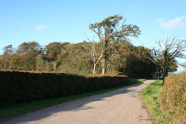
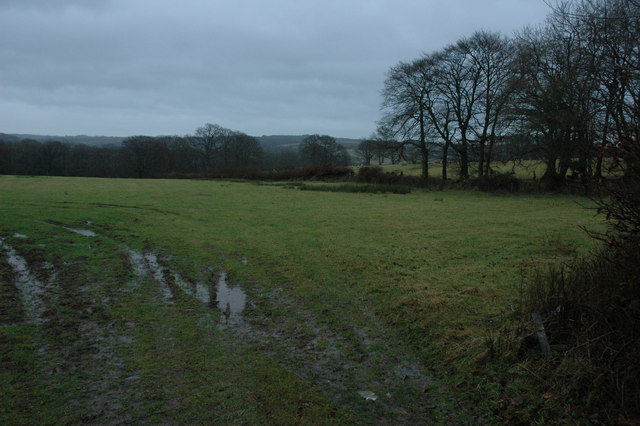
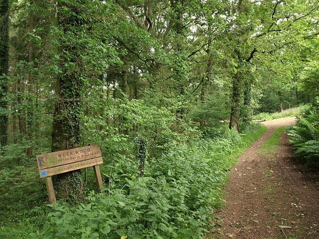
The woodland is crisscrossed by a network of well-maintained footpaths, providing visitors with ample opportunities for walking, hiking, and exploring the natural beauty of the area. These paths meander through the plantation, offering glimpses of stunning vistas, serene ponds, and an abundance of wildlife.

Lower Vipershill Plantation is home to a wide variety of animal species, making it a haven for nature enthusiasts and birdwatchers alike. Visitors may catch a glimpse of deer, foxes, badgers, and a plethora of bird species, including woodpeckers and owls. The tranquility of the forest lends itself to a peaceful and immersive experience, allowing visitors to truly connect with nature.

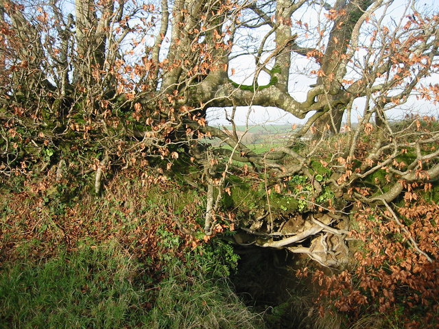
The plantation is also of historical significance, with remnants of old stone walls and ancient ruins scattered throughout the forest. These remnants provide a glimpse into the area's past and add an air of mystery to the woodland.

Lower Vipershill Plantation is a popular destination for both locals and tourists seeking solace in nature. Its natural beauty, diverse flora and fauna, and historical significance make it an enchanting place to visit for anyone looking to escape the hustle and bustle of everyday life.

If you have any feedback on the listing, please let us know in the comments section below.

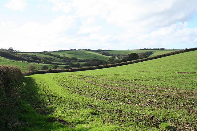
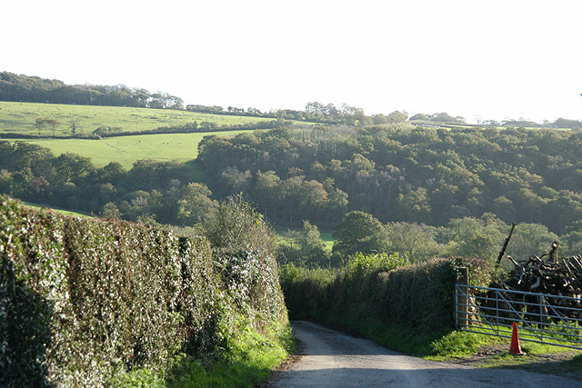
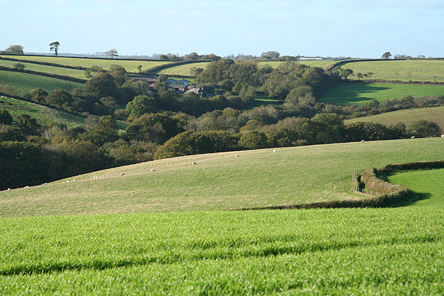
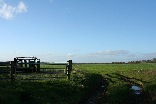
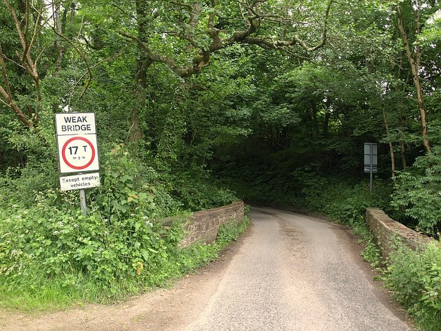
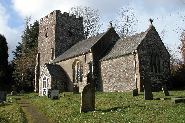
Lower Vipershill Plantation Images

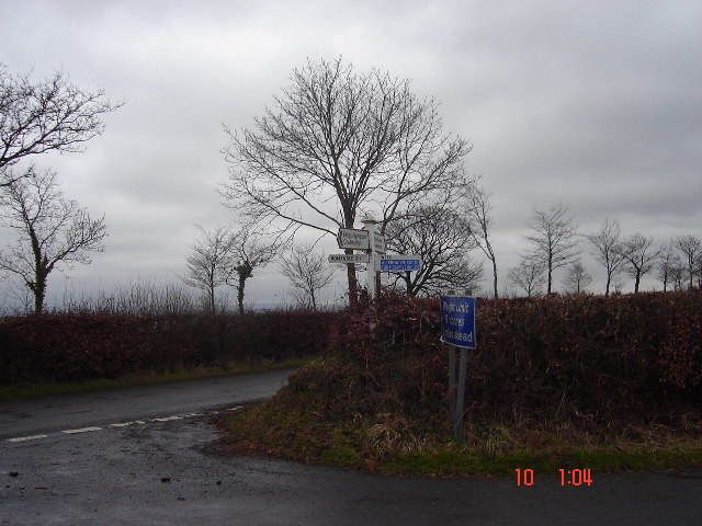
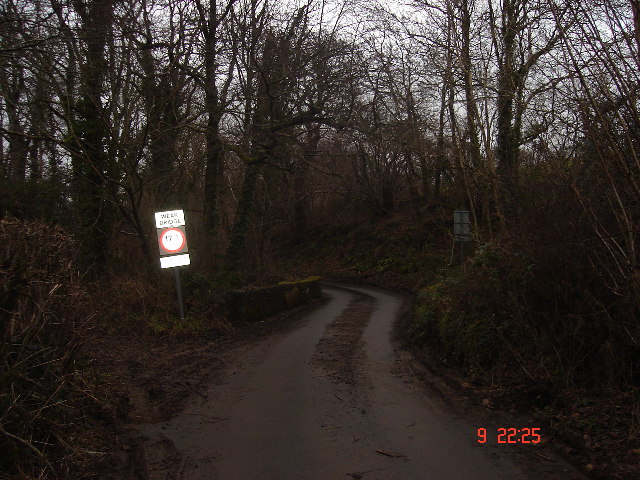
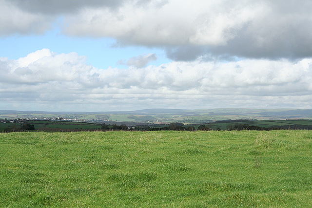
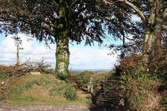
Images are sourced within 2km of 50.940424/-3.8146185 or Grid Reference SS7217. Thanks to Geograph Open Source API. All images are credited.

Beacon Cross An isolated crossroads.  Many of the crossroads here on high ground between Dartmoor and Exmoor have beacons.
Beacon Cross
An isolated crossroads. Many of the crossroads here on high ground between Dartmoor and Exmoor have beacons.
Weak bridge, Week Bridge over Huntacott Water, a normally placid but occasionally raging waterway.
One of many small rivers to cut small, deep valleys into the North Devon plateau.
Weak bridge, Week
Bridge over Huntacott Water, a normally placid but occasionally raging waterway. One of many small rivers to cut small, deep valleys into the North Devon plateau.
Romansleigh: near Higher Thornham Looking south-south-east
Romansleigh: near Higher Thornham
Looking south-south-east
Romansleigh: towards South Molton Looking north with Exmoor on the skyline
Romansleigh: towards South Molton
Looking north with Exmoor on the skyline
Romansleigh: entrance to West Rowley A public footpath leads to West Rowley and East Rowley and to Rhode Farm. Looking north east
Romansleigh: entrance to West Rowley
A public footpath leads to West Rowley and East Rowley and to Rhode Farm. Looking north east
Romansleigh: near Three Corner Cross Looking west-south-west towards Lower Kingstree Moor
Romansleigh: near Three Corner Cross
Looking west-south-west towards Lower Kingstree Moor
Chulmleigh: Challacombe Looking south to the valley of the Huntacott Water
Chulmleigh: Challacombe
Looking south to the valley of the Huntacott Water
Chulmleigh: near Higher Dodyard View west-north-west towards South Beara
Chulmleigh: near Higher Dodyard
View west-north-west towards South Beara
Chulmleigh: Dodyard Moor Looking west-north-west on an October afternoon
Chulmleigh: Dodyard Moor
Looking west-north-west on an October afternoon
Chulmleigh: wood on Bycott Moor Looking north-north-west by the entrance to Bycott Farm on the lane between Challacombe and Three Corner Cross
Chulmleigh: wood on Bycott Moor
Looking north-north-west by the entrance to Bycott Farm on the lane between Challacombe and Three Corner Cross
Beech hedge, bank and ditch. Roadside hedge near Wixon Cottages.
Beech hedge, bank and ditch.
Roadside hedge near Wixon Cottages.
Farmland to the north of Week Wet farmland to the north of the hamlet of Week on a dull mid-winter day.
Farmland to the north of Week
Wet farmland to the north of the hamlet of Week on a dull mid-winter day.
Week Wood The wood, currently subject to careful management connected with UK Biodiversity Action Plan, is, as the notice explains, "part of South West Forest", and lies on the northern slopes of the Huntacott Water valley and a tributary valley.
Week Wood
The wood, currently subject to careful management connected with UK Biodiversity Action Plan, is, as the notice explains, "part of South West Forest", and lies on the northern slopes of the Huntacott Water valley and a tributary valley.
Road at Bealy Court Cross Looking along the road towards Benley Cross from the junction with the lane from Bealy Court.
Road at Bealy Court Cross
Looking along the road towards Benley Cross from the junction with the lane from Bealy Court.
Molland Wood The lane from Molland Cross to Week drops down through the wood.
Molland Wood
The lane from Molland Cross to Week drops down through the wood.
Lane to South Week The no through road from Week Cross crosses a tributary of Huntacott Water and climbs towards the farm.
Lane to South Week
The no through road from Week Cross crosses a tributary of Huntacott Water and climbs towards the farm.
Orchids, South Week Difficult to do justice on a gloomy day to the fine display of heath spotted orchids in this meadow northeast of the farm. The meadows have been encouraged to revert to Culm Grassland by the owners.
Orchids, South Week
Difficult to do justice on a gloomy day to the fine display of heath spotted orchids in this meadow northeast of the farm. The meadows have been encouraged to revert to Culm Grassland by the owners.
Weak Week Bridge Unable to resist taking another photo of <a href="https://www.geograph.org.uk/photo/104058">SS7316 : Weak bridge, Week</a>. That this is actually called "Week Bridge" does seem a strange coincidence! The lane is between West Week and Week Cross.
Weak Week Bridge
Unable to resist taking another photo of SS7316 : Weak bridge, Week. That this is actually called "Week Bridge" does seem a strange coincidence! The lane is between West Week and Week Cross.
Show me another place!

Lower Vipershill Plantation is located at Grid Ref: SS7217 (Lat: 50.940424, Lng: -3.8146185)

Administrative County: Devon

District: North Devon

Police Authority: Devon and Cornwall

What 3 Words

///physics.menswear.hypocrite. Near Chulmleigh, Devon

Related Wikis

Week, Devon

Week is a small village in the civil parish of Chulmleigh, in the North Devon district of Devon, England. Its nearest town is Chulmleigh, which lies approximately...

Romansleigh

Romansleigh is a village and civil parish in the North Devon district of Devon, England. It is surrounded clockwise from the north by the parishes of Mariansleigh...

Cheldon

Cheldon is a village and former civil parish, 17 miles (27 km) north-west of Exeter, now in the parish of Chulmleigh, in the North Devon district, in the...

Meshaw

Meshaw is a village and civil parish in the North Devon district of Devon, England. Its nearest town is South Molton, which lies approximately 5.9 miles...

Have you been to Lower Vipershill Plantation?

Leave your review of Lower Vipershill Plantation below (or comments, questions and feedback).