Bagley Wood
Wood, Forest in Devon Teignbridge
England
Bagley Wood

Bagley Wood is a picturesque woodland located in Devon, England. Covering an area of approximately 350 acres, it is a popular destination for nature lovers and outdoor enthusiasts. The wood is situated near the village of Kennington and is easily accessible from the nearby city of Oxford.
Bagley Wood is characterized by its dense foliage, comprising a variety of tree species including oak, beech, birch, and pine. This diverse ecosystem provides a haven for an array of wildlife, making it a haven for birdwatchers and nature photographers. The wood is particularly famous for its population of nightingales, whose melodious songs fill the air during the spring and summer months.
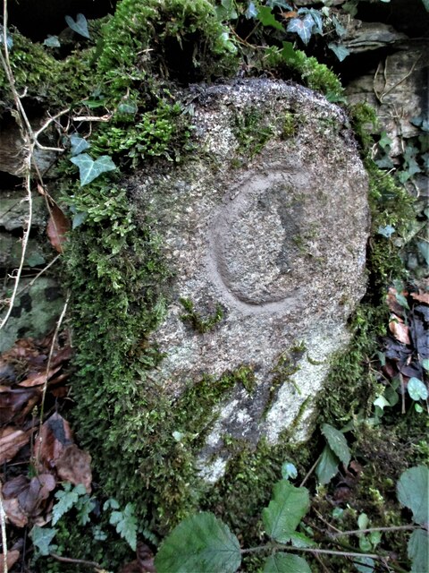
The woodland features a network of well-maintained footpaths and trails, allowing visitors to explore its stunning natural beauty. These paths wind through the trees, offering glimpses of wildflowers, moss-covered rocks, and tranquil streams. The atmosphere is serene and peaceful, making it an ideal place for a leisurely walk or a picnic amidst nature.
Bagley Wood has a rich history, dating back centuries. It was once part of the medieval Wychwood Forest, which covered a vast area of central England. The wood has been managed sustainably over the years, ensuring the preservation of its natural beauty and ecological importance.
Whether it is to admire the vibrant autumn colors, listen to the birdsong, or simply to escape the hustle and bustle of city life, Bagley Wood offers a tranquil retreat for visitors of all ages.
If you have any feedback on the listing, please let us know in the comments section below.
Bagley Wood Images
Images are sourced within 2km of 50.54629/-3.8002322 or Grid Reference SX7273. Thanks to Geograph Open Source API. All images are credited.


Bagley Wood is located at Grid Ref: SX7273 (Lat: 50.54629, Lng: -3.8002322)
Administrative County: Devon
District: Teignbridge
Police Authority: Devon and Cornwall
What 3 Words
///empire.marzipan.announce. Near Ashburton, Devon
Nearby Locations
Related Wikis
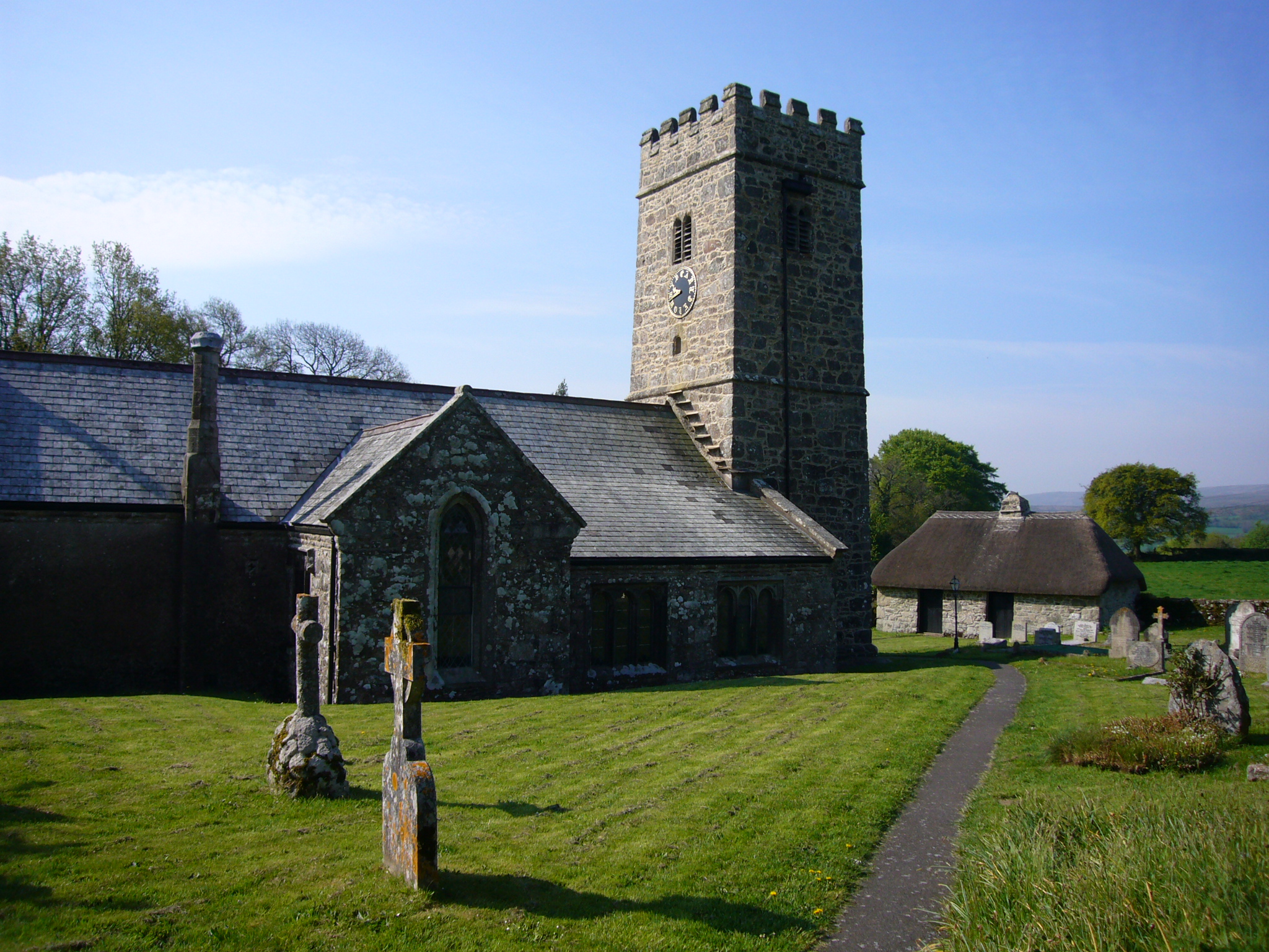
Buckland-in-the-Moor
Buckland in the Moor is a village and civil parish in the Teignbridge district of Devon, England. According to the 2001 census it had a population of...

Buckland Beacon
Buckland Beacon is a granite tor and conical beacon, near to the village of Buckland-in-the-Moor on Dartmoor, England. It is well known for its Ten Commandments...
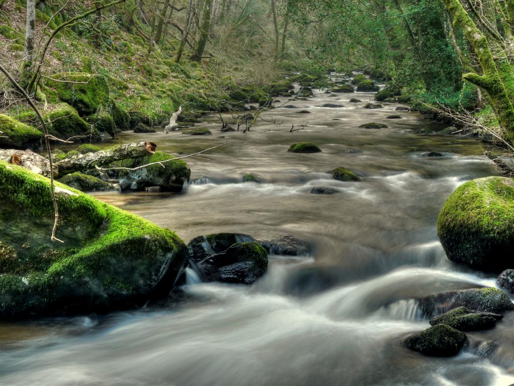
West Webburn River
The West Webburn is a stream on Dartmoor in Devon in south-west England. It rises on the eastern side of the moors flowing off the east side of Hameldown...

East Webburn River
The East Webburn is a stream in the Dartmoor moors in Devon in south-west England. It rises on the western side of the moors flowing off the west side...
Holne Chase Castle
Holne Chase Castle is an Iron Age hill fort situated close to Buckland-in-the-Moor in Devon, England. The fort is situated on a promontory on the Northern...

Leusdon
Leusdon is a parish in the southern part of Dartmoor in the county of Devon, UK. It is near Poundsgate and Ponsworthy. The village church is St John the...

Poundsgate
Poundsgate is a small village in Dartmoor, Devon, England, located on the road between Ashburton and Princetown. The postal area of "Poundsgate" is a wide...

Ponsworthy
Ponsworthy is a hamlet on the eastern side of Dartmoor, Devon, England. It lies in the steep valley of the West Webburn River about 3.5 km (2.2 mi) southwest...
Nearby Amenities
Located within 500m of 50.54629,-3.8002322Have you been to Bagley Wood?
Leave your review of Bagley Wood below (or comments, questions and feedback).