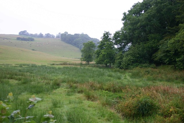
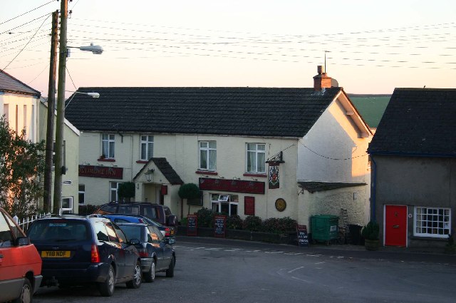
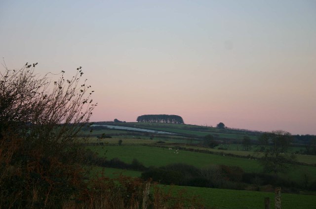
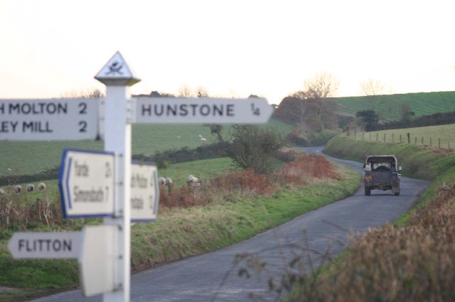
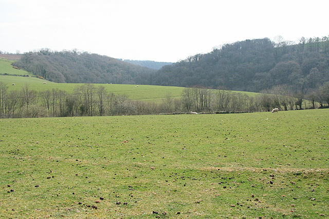
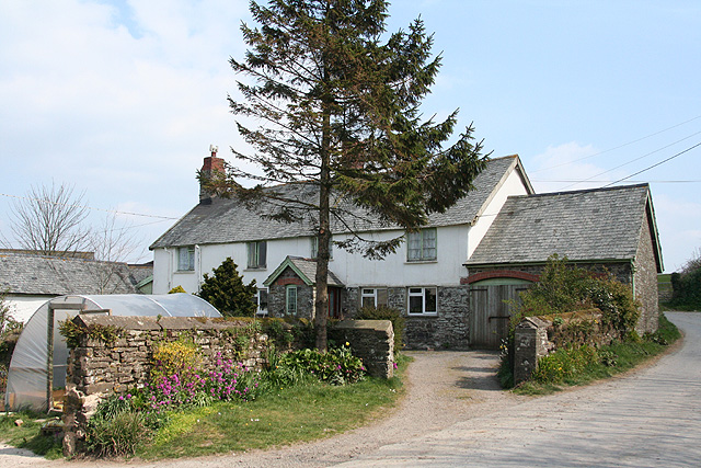
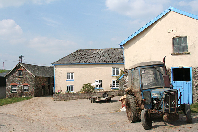
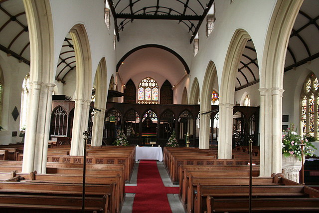
Venn Wood

Wood, Forest in Devon North Devon

England

Venn Wood

North Molton : A399 Looking along the A399.
North Molton : A399 Credit: Lewis Clarke

The requested URL returned error: 429 Too Many Requests

If you have any feedback on the listing, please let us know in the comments section below.
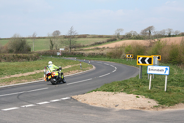
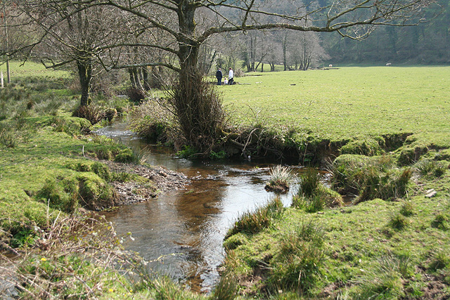
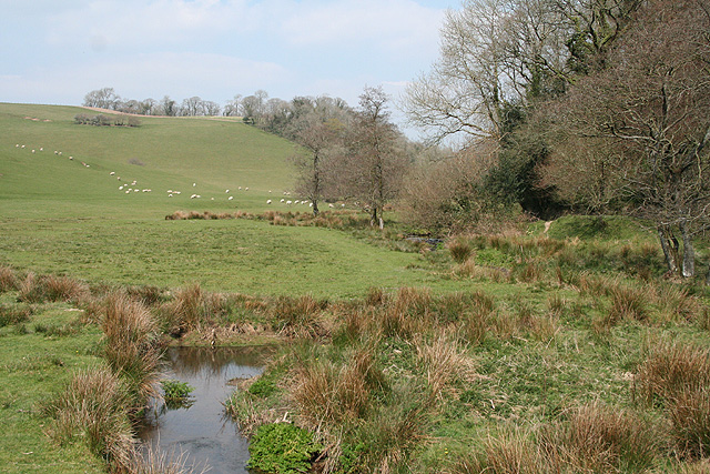
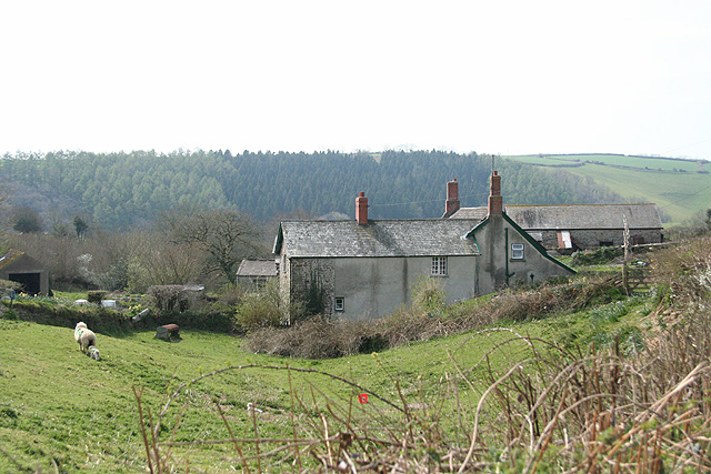
Venn Wood Images

Images are sourced within 2km of 51.060203/-3.8279328 or Grid Reference SS7130. Thanks to Geograph Open Source API. All images are credited.

North Molton : A399 Looking along the A399.
North Molton : A399
Looking along the A399.
Stony Bridge west of North Molton Local beauty spot.
Stony Bridge west of North Molton
Local beauty spot.
The Poltimore Arms, North Molton
Bampfylde Clump, at the top of Bampfylde Hill This clump of trees is said to have been a landmark for the local miners returning home after a night in the pubs of North Molton.
Bampfylde Clump, at the top of Bampfylde Hill
This clump of trees is said to have been a landmark for the local miners returning home after a night in the pubs of North Molton.
Steep Head
Steep Head
Wooded valley near Steep Head
Along the edge of South Wood, near Heasley Mill
North Molton: Northland Cross A police patrol on the A399 heading towards Blackmoor Gate. Looking north-north-west
North Molton: Northland Cross
A police patrol on the A399 heading towards Blackmoor Gate. Looking north-north-west
North Molton: below Stony Bridge A tributary of the river Mole. Looking towards Lee Wood
North Molton: below Stony Bridge
A tributary of the river Mole. Looking towards Lee Wood
North Molton: stream near Stony Bridge Looking north with Venn Wood, beyond the square, on the right
North Molton: stream near Stony Bridge
Looking north with Venn Wood, beyond the square, on the right
North Molton: West Park Looking west-south-west with Lee Wood on the horizon
North Molton: West Park
Looking west-south-west with Lee Wood on the horizon
North Molton: towards Parkers Wood With Timber Wood on the right: a view towards a wooded valley
North Molton: towards Parkers Wood
With Timber Wood on the right: a view towards a wooded valley
North Molton: Nadrid A farmhouse by a lane to North Molton village at a junction with a second lane from South Molton. Looking east-north-east
North Molton: Nadrid
A farmhouse by a lane to North Molton village at a junction with a second lane from South Molton. Looking east-north-east
North Molton: South Leigh Looking north west. A public footpath connects the farm directly with North Molton village
North Molton: South Leigh
Looking north west. A public footpath connects the farm directly with North Molton village
Harvest, Lower Barton The fields in the foreground and middle distance are on opposite sides of the valley, with Flitton Mill Wood hidden below. On the far hill baling is in progress in the evening sun.
Harvest, Lower Barton
The fields in the foreground and middle distance are on opposite sides of the valley, with Flitton Mill Wood hidden below. On the far hill baling is in progress in the evening sun.
Baling A telephoto view of the same scene as <a href="https://www.geograph.org.uk/photo/444550">SS7131 : Harvest, Lower Barton</a> showing machinery at work producing large bales.
Baling
A telephoto view of the same scene as SS7131 : Harvest, Lower Barton showing machinery at work producing large bales.
North Molton: All Saints church Looking east along the nave to the rood screen and chancel. Note the clerestory, an untypical feature for a Devon church. The piers of the north aisle lean inwards at about 14 degrees
North Molton: All Saints church
Looking east along the nave to the rood screen and chancel. Note the clerestory, an untypical feature for a Devon church. The piers of the north aisle lean inwards at about 14 degrees
North Molton: All Saints Church In the Bampfylde Chapel. An early 17th century alabaster monument commemorating Sir Amyas Bampfylde, his wife Elizabeth and their numerous offspring. Looking east-south-east
North Molton: All Saints Church
In the Bampfylde Chapel. An early 17th century alabaster monument commemorating Sir Amyas Bampfylde, his wife Elizabeth and their numerous offspring. Looking east-south-east
Show me another place!

Venn Wood is located at Grid Ref: SS7130 (Lat: 51.060203, Lng: -3.8279328)

Administrative County: Devon

District: North Devon

Police Authority: Devon and Cornwall

What 3 Words

///clinking.sometime.healers. Near South Molton, Devon

Nearby Locations

Venn Wood Flitton Wood

Related Wikis

North Molton

North Molton is a village, parish and former manor in North Devon, England. The population of the parish in 2001 was 1,047, decreasing to 721 in the 2011...

Bremridge

Bremridge is a historic estate within the former hundred of South Molton in Devon, England. It is now within the parish of Filleigh but was formerly in...

South Radworthy

South Radworthy is a hamlet in the civil parish of North Molton, in the North Devon District of the county of Devon, England. It is about three miles to...

Bremridge Wood

Bremridge Wood formerly part of the Domesday Book estate of Bremridge near South Molton, Devon, England, is the site of an Iron Age enclosure or hill fort...

Have you been to Venn Wood?

Leave your review of Venn Wood below (or comments, questions and feedback).