Sunclose Copse
Wood, Forest in Devon Mid Devon
England
Sunclose Copse
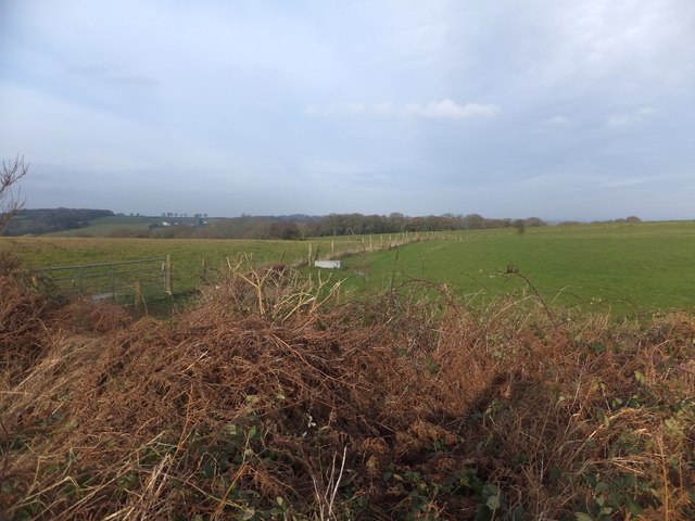
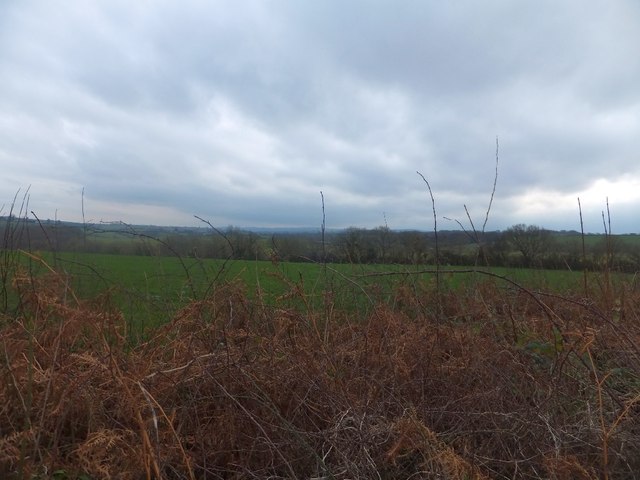
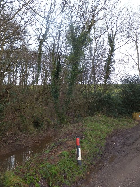
Sunclose Copse is a picturesque woodland located in the county of Devon, England. Situated near the village of Sunclose, the copse covers an area of approximately 20 acres, making it a small but charming forested area.
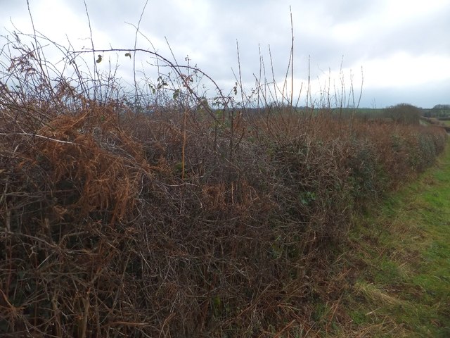
The copse is predominantly composed of broadleaf trees, with a rich variety of species including oak, beech, ash, and birch. These tall and majestic trees provide a dense canopy that filters sunlight, creating a dappled effect on the forest floor below. The undergrowth consists of ferns, mosses, and wildflowers, adding to the copse's natural beauty.
Tranquility and serenity are the hallmarks of Sunclose Copse. The peaceful atmosphere is enhanced by the absence of any major roads or urban developments nearby, allowing visitors to immerse themselves in nature undisturbed. The copse is home to an array of wildlife, including various bird species, small mammals like squirrels and rabbits, and even the occasional deer.
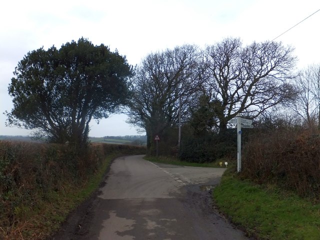
The copse is a popular destination for nature enthusiasts, walkers, and photographers. A network of well-maintained footpaths crisscrosses the woodland, offering visitors the opportunity to explore its hidden corners and appreciate its diverse flora and fauna. There are also several benches strategically placed throughout the copse, inviting visitors to sit and soak in the tranquility.
Overall, Sunclose Copse is a hidden gem in Devon, offering a peaceful retreat from the hustle and bustle of everyday life. With its dense woods, diverse wildlife, and serene atmosphere, it provides visitors with a truly immersive nature experience.
If you have any feedback on the listing, please let us know in the comments section below.
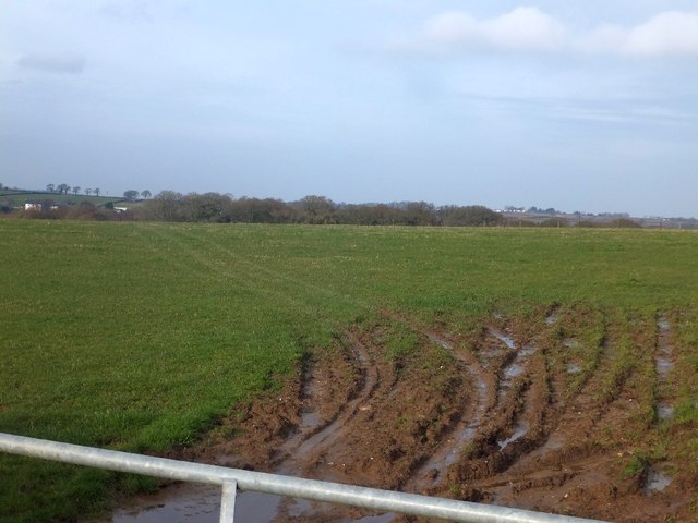
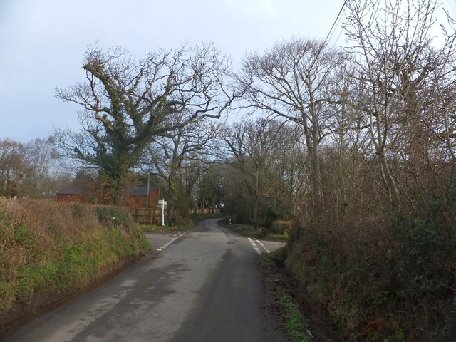
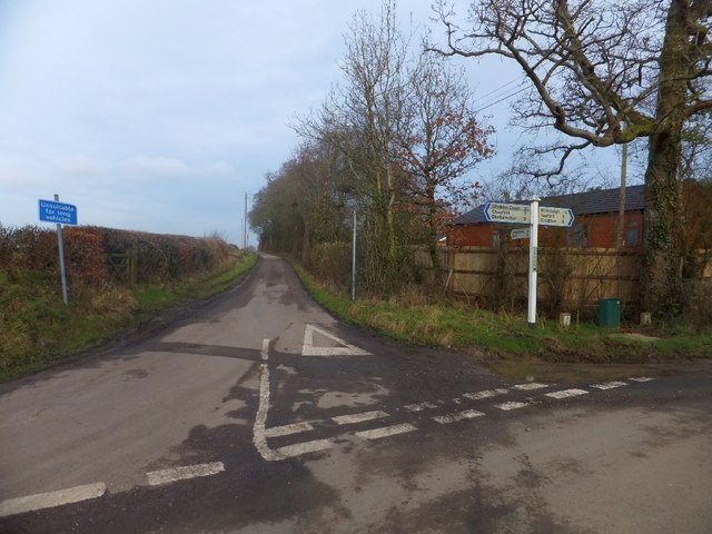
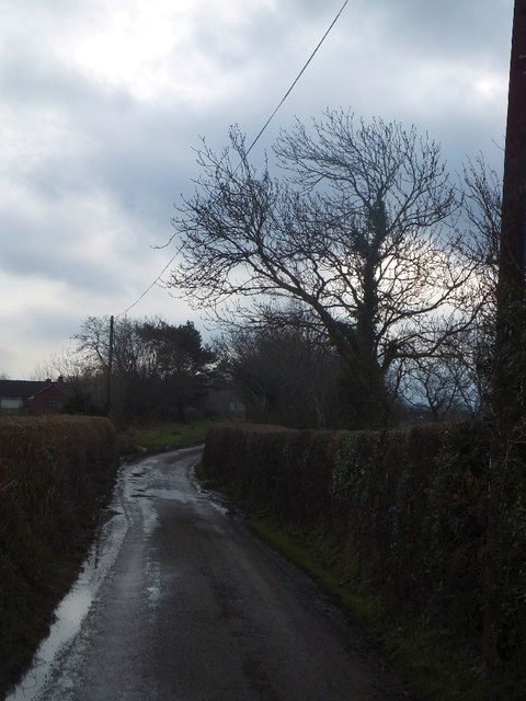
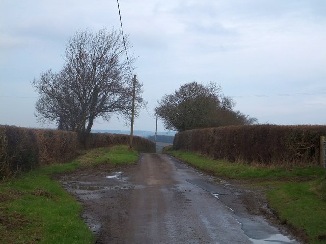
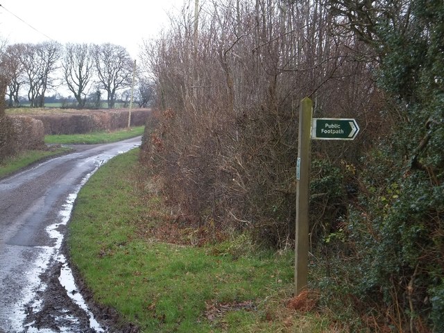
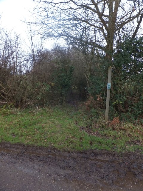
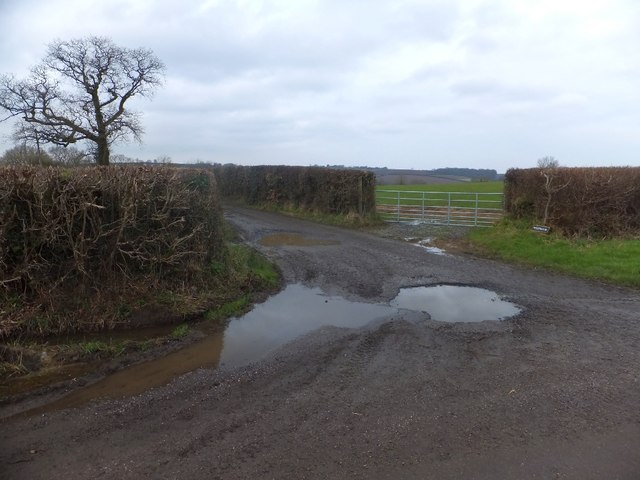
Sunclose Copse Images
Images are sourced within 2km of 50.748149/-3.8219004 or Grid Reference SX7195. Thanks to Geograph Open Source API. All images are credited.

Sunclose Copse is located at Grid Ref: SX7195 (Lat: 50.748149, Lng: -3.8219004)
Administrative County: Devon
District: Mid Devon
Police Authority: Devon and Cornwall
What 3 Words
///allowable.blazers.hardback. Near Bow, Devon
Nearby Locations
Related Wikis

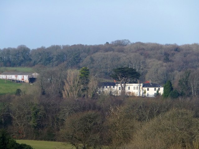
Spreyton
Spreyton is a small rural village just north of Dartmoor in Devon, England. Spreyton is famous for its connection to the tale of “Old Uncle Tom Cobley...

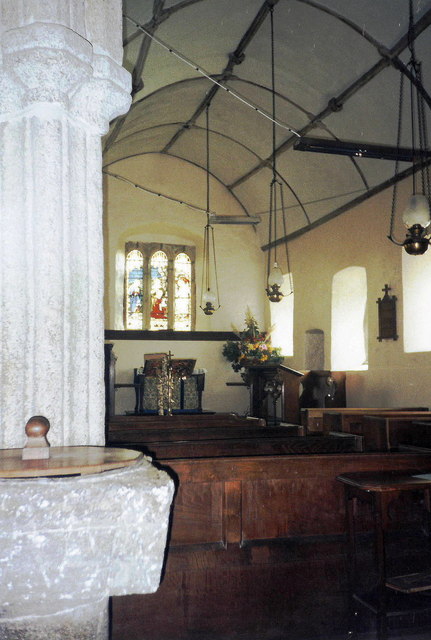
St Andrew's Church, Hittisleigh
St Andrew's Church, Hittisleigh, is an Anglican parish church in Hittisleigh in Mid Devon. It is listed Grade I on the National Heritage List for England...
Hittisleigh
Hittisleigh is a small rural parish and village just north-east of Dartmoor in Devon. Once part of the ancient district of the Wonford Hundred, it is now...
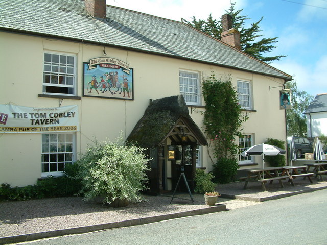
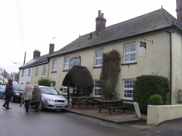
Tom Cobley Tavern
The Tom Cobley Tavern is a pub in Spreyton, Devon, England. It dates back to the 16th century, and may be the 1802 starting point of Uncle Tom Cobley and...
Nearby Amenities
Located within 500m of 50.748149,-3.8219004Have you been to Sunclose Copse?
Leave your review of Sunclose Copse below (or comments, questions and feedback).