Bow Copse
Wood, Forest in Devon South Hams
England
Bow Copse
Bow Copse is a charming woodland located in Devon, England. Covering an area of approximately 20 acres, it is a haven for nature enthusiasts and those seeking tranquility amidst lush greenery. The copse is situated near the village of Bow, just a short distance from the River Taw.
The woodland boasts a diverse range of tree species, including oak, beech, and birch, which form a dense canopy overhead. The forest floor is carpeted with a variety of wildflowers, creating a picturesque landscape. The copse is also home to a plethora of wildlife, such as deer, rabbits, and various bird species, making it a popular spot for birdwatching and animal spotting.
Bow Copse offers numerous walking trails, allowing visitors to explore its natural beauty at their own pace. The paths wind through the forest, with occasional clearings offering stunning views of the surrounding countryside. One of the highlights of the copse is the presence of a small stream that meanders through the woodland, adding to its charm and providing a peaceful soundtrack for visitors.
With its tranquil atmosphere and rich biodiversity, Bow Copse is an ideal destination for outdoor enthusiasts, hikers, and nature lovers alike. Whether one wishes to immerse themselves in the beauty of the forest, spot wildlife, or simply enjoy a peaceful stroll, this woodland sanctuary in Devon offers an escape from the hustle and bustle of modern life.
If you have any feedback on the listing, please let us know in the comments section below.
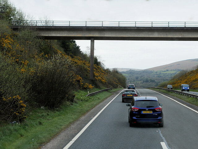
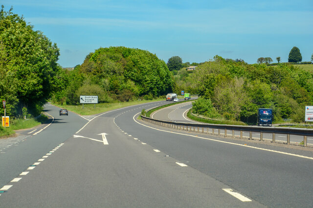
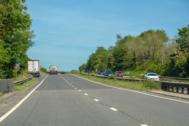
Bow Copse Images
Images are sourced within 2km of 50.411071/-3.8179161 or Grid Reference SX7058. Thanks to Geograph Open Source API. All images are credited.


Bow Copse is located at Grid Ref: SX7058 (Lat: 50.411071, Lng: -3.8179161)
Administrative County: Devon
District: South Hams
Police Authority: Devon and Cornwall
What 3 Words
///flaked.assess.spare. Near South Brent, Devon
Nearby Locations
Related Wikis

Avonwick
Avonwick is a village in the civil parish of North Huish, in the South Hams district, in the county of Devon, England. The River Avon runs through the...

Yellowberries Copse
Yellowberries Copse is an Iron Age enclosure, or possibly hill fort situated South of South Brent in Devon, England. The fort is situated on the North...

Black Hall
Black Hall is a Grade II* listed building near the village of Avonwick, in Devon, England. Previously, an older construction of Black Hall was the seat...
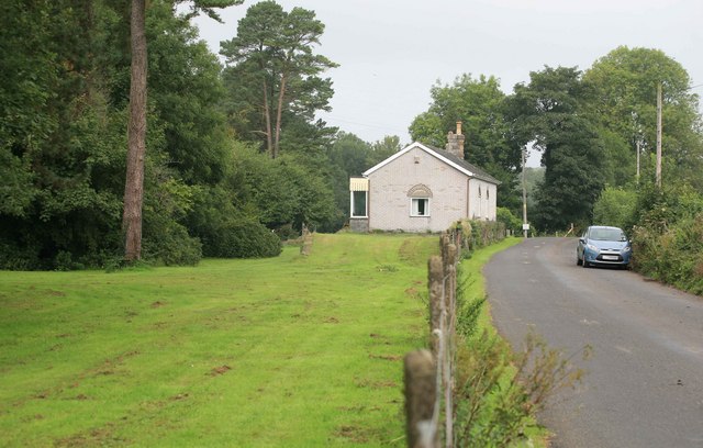
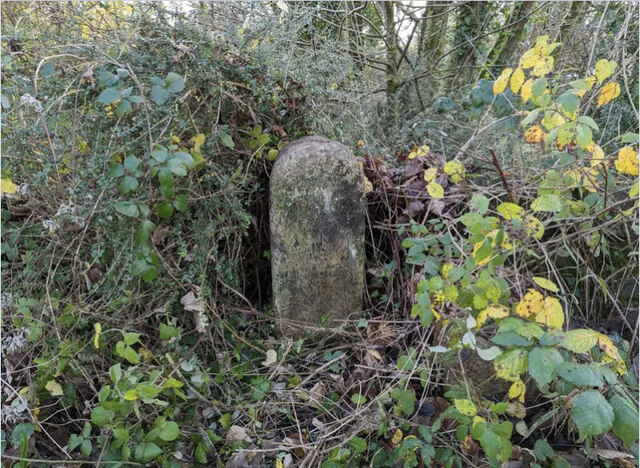
Avonwick railway station
Avonwick railway station is a closed railway station situated in the village of Avonwick in Devon, England. It was the first station on the Kingsbridge...
North Huish
North Huish is a village, civil parish, former ecclesiastical parish and former manor in the South Hams district of Devon, England. The village is situated...
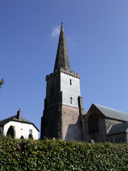
St Mary's Church, North Huish
St Mary's Church in North Huish, Devon, England was built in the 14th century. It is recorded in the National Heritage List for England as a designated...

Glazebrook House, South Brent
Glazebrook House is a building of historical significance in South Brent, Devon. Part of the house was built in about 1650 and was successively added to...
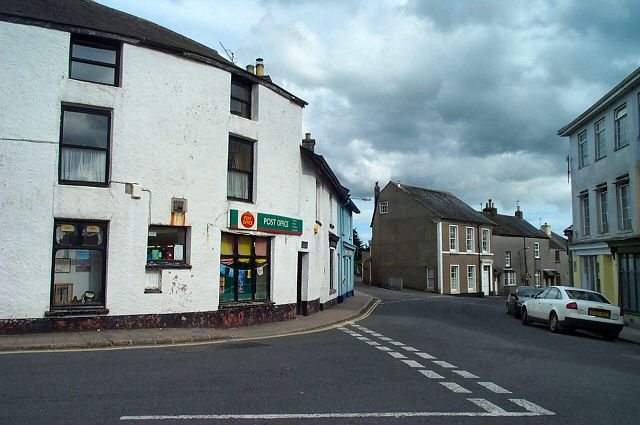
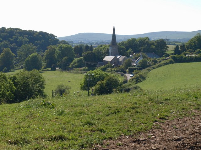
South Brent
South Brent is a large village on the southern edge of Dartmoor, England, in the valley of the River Avon. The parish includes the small hamlets of Aish...
Related Videos

WALKING BACK IN TIME LOST RAILWAYS
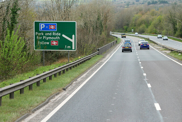
The journey continues from Avonwick bridge down the train line to Avonwick Station, the station is located between Diptford and ...


Nearby Amenities
Located within 500m of 50.411071,-3.8179161Have you been to Bow Copse?
Leave your review of Bow Copse below (or comments, questions and feedback).