Upper Plantation
Wood, Forest in Devon Teignbridge
England
Upper Plantation

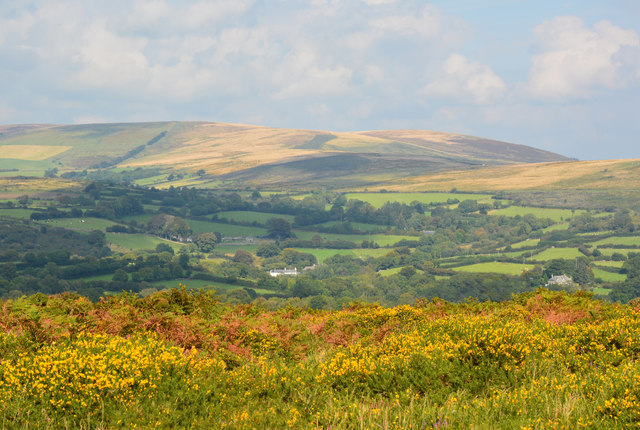
Upper Plantation is a picturesque woodland located in the heart of Devon, England. Nestled amidst the rolling hills and countryside, this enchanting forest offers visitors a tranquil and captivating escape from the hustle and bustle of everyday life.
Covering an area of approximately 100 hectares, Upper Plantation is characterized by its dense canopy of towering trees, predominantly oak and beech, which provide a sense of seclusion and privacy. The forest floor is blanketed with a rich carpet of moss, ferns, and wildflowers, creating a vibrant and diverse ecosystem.
The woodland is crisscrossed by a network of well-maintained footpaths, allowing visitors to explore its natural wonders at their own pace. As they stroll through the woodland, visitors may encounter various wildlife species, including deer, badgers, squirrels, and an array of bird species. The forest is particularly known for its birdwatching opportunities, with sightings of woodpeckers, owls, and songbirds being common.
Upper Plantation also boasts several picnic areas and benches, providing the perfect spot for visitors to pause and take in the beauty of their surroundings. The forest is a popular destination for nature enthusiasts, families, and photographers who appreciate its tranquil and photogenic atmosphere.
Managed by the local forestry commission, Upper Plantation is meticulously cared for, ensuring its preservation for future generations to enjoy. Whether one is seeking a peaceful walk, a nature-inspired photography session, or simply a moment of solitude amidst nature, Upper Plantation offers a serene and captivating experience in the heart of Devon.
If you have any feedback on the listing, please let us know in the comments section below.
Upper Plantation Images
Images are sourced within 2km of 50.540452/-3.8239881 or Grid Reference SX7072. Thanks to Geograph Open Source API. All images are credited.


Upper Plantation is located at Grid Ref: SX7072 (Lat: 50.540452, Lng: -3.8239881)
Administrative County: Devon
District: Teignbridge
Police Authority: Devon and Cornwall
What 3 Words
///strength.dividing.bookshop. Near Ashburton, Devon
Nearby Locations
Related Wikis
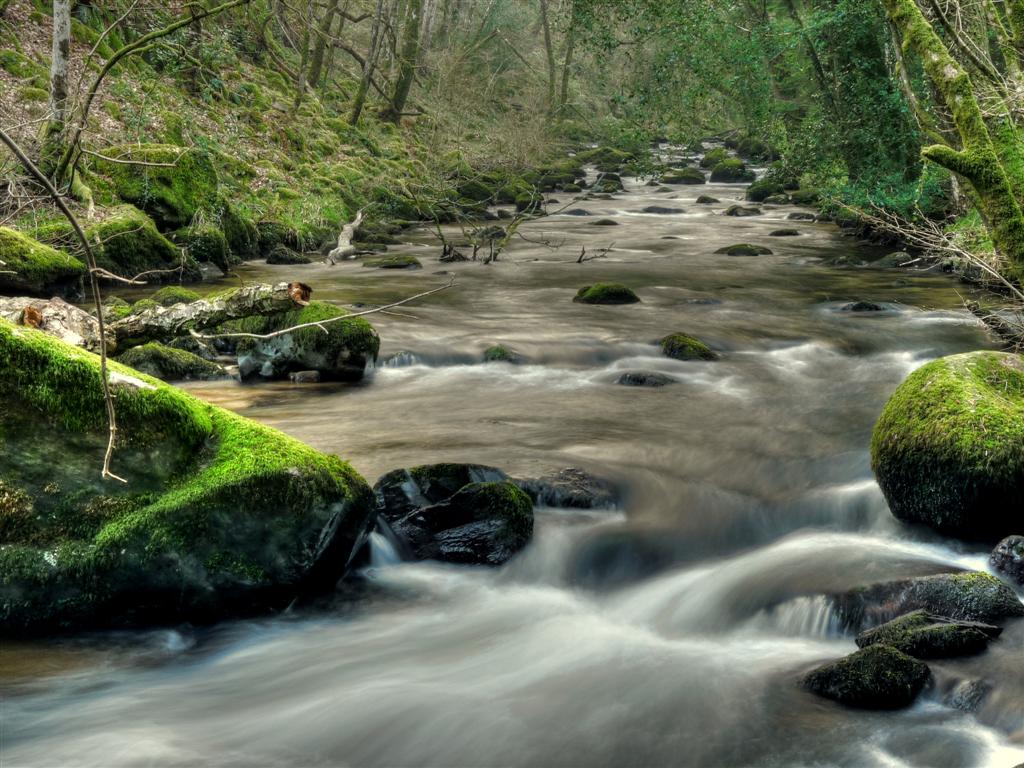
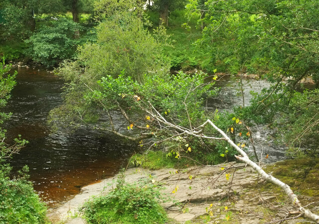
West Webburn River
The West Webburn is a stream on Dartmoor in Devon in south-west England. It rises on the eastern side of the moors flowing off the east side of Hameldown...

Leusdon
Leusdon is a parish in the southern part of Dartmoor in the county of Devon, UK. It is near Poundsgate and Ponsworthy. The village church is St John the...

Poundsgate
Poundsgate is a small village in Dartmoor, Devon, England, located on the road between Ashburton and Princetown. The postal area of "Poundsgate" is a wide...

East Webburn River
The East Webburn is a stream in the Dartmoor moors in Devon in south-west England. It rises on the western side of the moors flowing off the west side...
Nearby Amenities
Located within 500m of 50.540452,-3.8239881Have you been to Upper Plantation?
Leave your review of Upper Plantation below (or comments, questions and feedback).