Molland Wood

Wood, Forest in Devon North Devon

England

Molland Wood

Brayford : Grassy Field Brayford Sewage Works seen hiding in some trees.
Brayford : Grassy Field Credit: Lewis Clarke

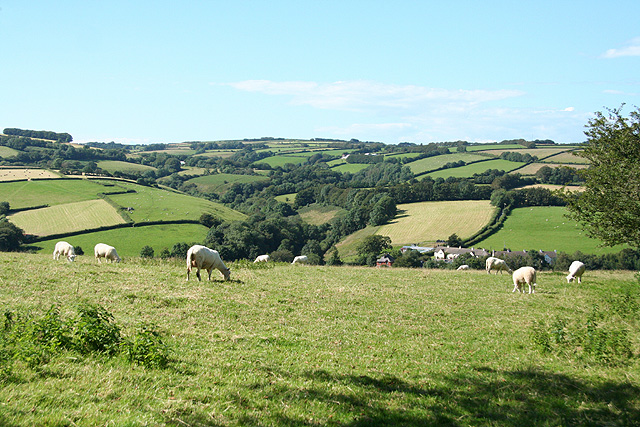
Molland Wood is a picturesque woodland located in the county of Devon, England. This enchanting forest covers an area of approximately 50 acres and is known for its natural beauty and diverse wildlife. It is situated near the village of Molland, which is nestled in the rolling hills of North Devon.

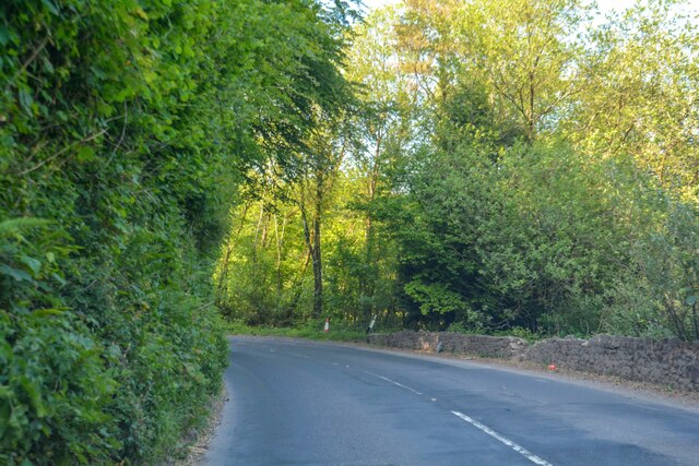
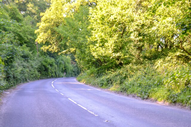
The woodland is primarily composed of broadleaf trees, including oak, ash, beech, and birch, creating a dense canopy that provides shelter and shade for the various species that call this area home. The forest floor is adorned with a vibrant carpet of bluebells in the spring, creating a breathtaking sight for visitors.

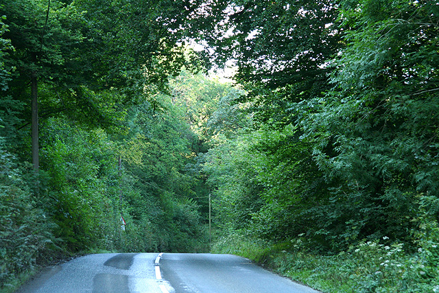
Molland Wood is not only a haven for nature enthusiasts but also a popular destination for outdoor activities. There are numerous walking trails that wind through the forest, allowing visitors to explore its hidden gems and discover its tranquil beauty. The paths are well-maintained, making it accessible for people of all ages and abilities.

The woodland is also home to a wide range of wildlife. Birdwatchers will delight in the opportunity to spot woodland birds such as woodpeckers, owls, and various songbirds. Additionally, the forest provides a habitat for mammals like badgers, foxes, and deer.

Whether you are seeking a peaceful escape in nature or an adventurous hike through a stunning forest, Molland Wood in Devon offers a captivating experience for all who visit. Its natural beauty, diverse wildlife, and tranquil atmosphere make it a must-see destination for nature lovers and outdoor enthusiasts alike.

If you have any feedback on the listing, please let us know in the comments section below.
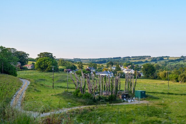
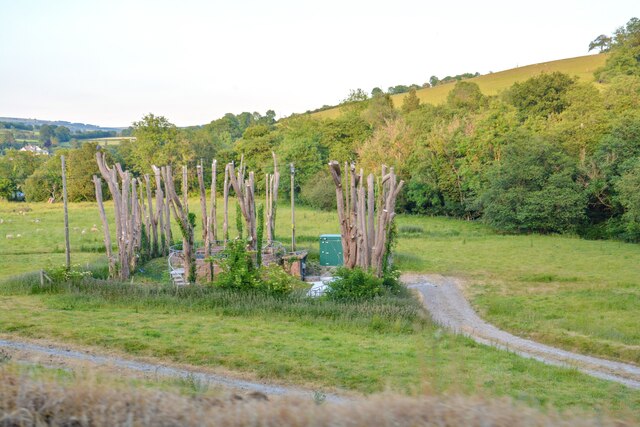
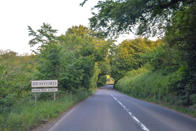
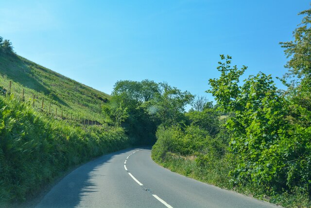
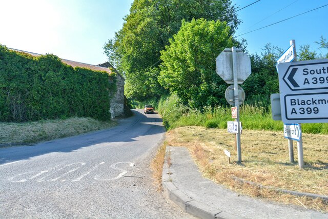
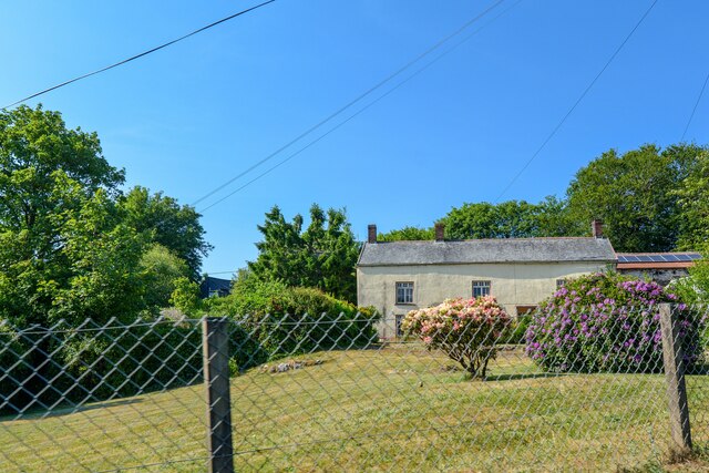
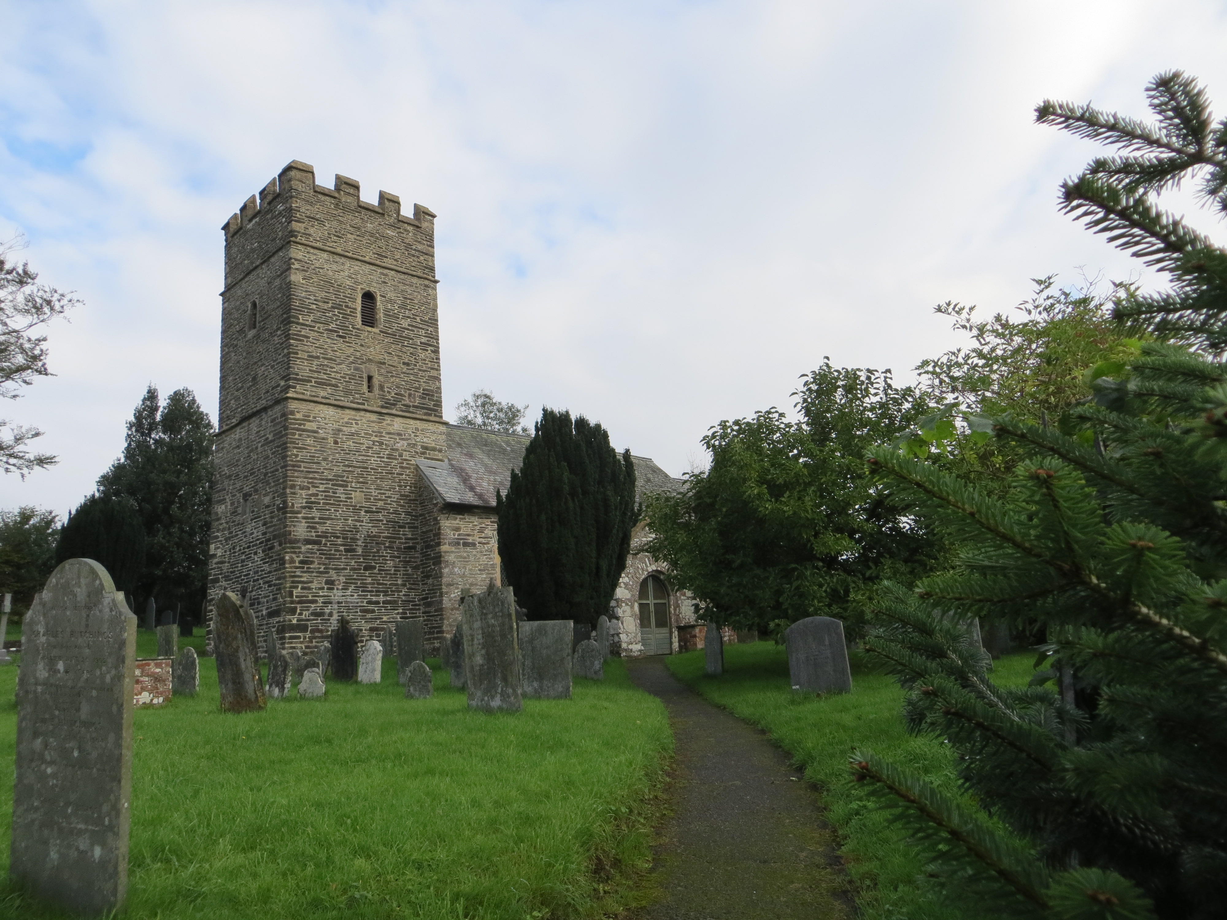
Molland Wood Images

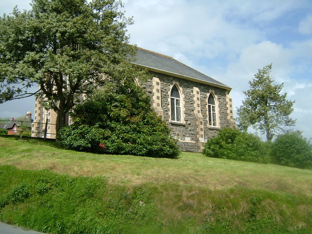
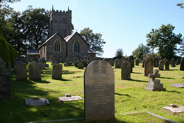
Images are sourced within 2km of 51.094069/-3.8520753 or Grid Reference SS7034. Thanks to Geograph Open Source API. All images are credited.

Brayford : Grassy Field Brayford Sewage Works seen hiding in some trees.
Brayford : Grassy Field
Brayford Sewage Works seen hiding in some trees.
Brayford : Brayford STW A water treatment facility in Brayford.
Brayford : Brayford STW
A water treatment facility in Brayford.
Brayford : Brayford STW A water treatment facility in Brayford.
Brayford : Brayford STW
A water treatment facility in Brayford.
Brayford : A399 Heading through Brayford.
Brayford : A399
Heading through Brayford.
Brayford : A399 Looking along the A399.
Brayford : A399
Looking along the A399.
Brayford : A399 A road off the A399.
Brayford : A399
A road off the A399.
Brayford : Hillside A house seen from the A399.
Brayford : Hillside
A house seen from the A399.
Brayford : A399 Looking along the A399.
Brayford : A399
Looking along the A399.
Brayford : A399 Looking along the A399.
Brayford : A399
Looking along the A399.
Brayford : A399 Looking along the A399.
Brayford : A399
Looking along the A399.
High Bray The north west view from High Bray churchyard over the surrounding country. In the valley lies the village of Brayford.
High Bray
The north west view from High Bray churchyard over the surrounding country. In the valley lies the village of Brayford.
Chapel in the village of Brayford
High Bray: by Bray Cross Looking west-north-west towards Mockham Down
High Bray: by Bray Cross
Looking west-north-west towards Mockham Down
High Bray: above Brayford Overlooking the village in the valley from the edge of High Bray churchyard. A public footpath links the two. Looking north
High Bray: above Brayford
Overlooking the village in the valley from the edge of High Bray churchyard. A public footpath links the two. Looking north
High Bray: All Saints church Looking west across the crowded churchyard
High Bray: All Saints church
Looking west across the crowded churchyard
North Molton: towards Barton Wood In the valley below the plantation – Barton Wood – runs the Hole Water, a tributary of the Bray. In earlier centuries it powered fulling mills near here. The Tarka Trail runs up through the wood, along the valley
North Molton: towards Barton Wood
In the valley below the plantation – Barton Wood – runs the Hole Water, a tributary of the Bray. In earlier centuries it powered fulling mills near here. The Tarka Trail runs up through the wood, along the valley
Brayford: Charlestown Barton Wood On the A399, the main route to Blackmoor Gate and Combe Martin from the North Devon Link Road. Between Barton Wood and Brayford quarries, in the Bray valley
Brayford: Charlestown Barton Wood
On the A399, the main route to Blackmoor Gate and Combe Martin from the North Devon Link Road. Between Barton Wood and Brayford quarries, in the Bray valley
Brayford: Brayford quarry By the A399 road to Blackmoor Gate and Combe Martin. The quarry is run by Hanson as is its neighbour Barton Wood quarry, nearby
Brayford: Brayford quarry
By the A399 road to Blackmoor Gate and Combe Martin. The quarry is run by Hanson as is its neighbour Barton Wood quarry, nearby
Show me another place!

Molland Wood is located at Grid Ref: SS7034 (Lat: 51.094069, Lng: -3.8520753)

Administrative County: Devon

District: North Devon

Police Authority: Devon and Cornwall

What 3 Words

///avoid.wiggling.reported. Near South Molton, Devon

Related Wikis

High Bray

High Bray is a village, church of England parish and former civil parish, now in the parish of Brayford, in the North Devon district, in the county of...

Brayford

Brayford is a village and civil parish in Devon, England, situated about 5 miles (8.0 km) from South Molton and 6 miles (9.7 km) from Barnstaple. It lies...

Charles, Devon

Charles is a village and former civil parish, now in the parish of Brayford, in the North Devon district of Devon, England. Its nearest town is South Molton...

Bentwitchen

Bentwitchen is a hamlet in Devon, England. == References ==

Have you been to Molland Wood?

Leave your review of Molland Wood below (or comments, questions and feedback).