Napoak Plantation
Wood, Forest in Devon Mid Devon
England
Napoak Plantation

Napoak Plantation is a charming and picturesque woodland located in the heart of Devon, England. Situated amidst the rolling hills and lush greenery of the region, this plantation offers a serene and tranquil escape for nature enthusiasts and outdoor adventurers alike.
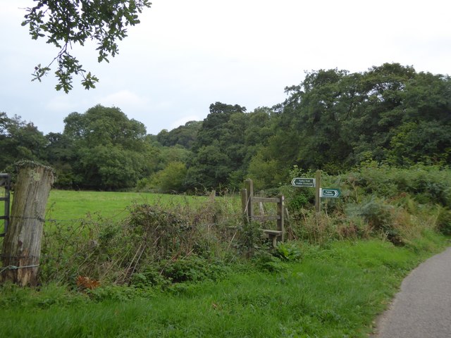
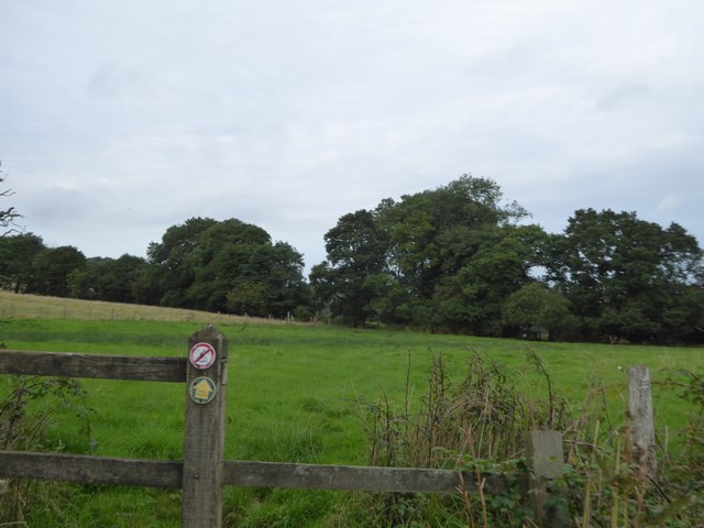
Covering a vast area, Napoak Plantation is predominantly made up of dense, ancient oak woodlands, which have been carefully preserved and protected over the years. The towering oak trees provide a stunning canopy, allowing dappled sunlight to filter through and create an enchanting atmosphere within the forest.
The plantation is home to a diverse range of flora and fauna, with many rare and protected species finding refuge within its boundaries. Visitors can expect to encounter a variety of wildlife, including deer, badgers, foxes, and a plethora of bird species. Birdwatchers, in particular, will be delighted by the opportunity to spot elusive and migratory birds amidst the foliage.
For those seeking a peaceful retreat, Napoak Plantation offers numerous walking trails and paths that wind their way through the woodland. These trails vary in difficulty, catering to both casual strollers and avid hikers. Along the way, visitors can admire the stunning natural beauty of the plantation, with breathtaking views and idyllic picnic spots awaiting them at every turn.
Napoak Plantation is also a popular destination for educational visits and nature workshops. Its knowledgeable staff organizes guided tours and activities that allow visitors to learn more about the local ecosystem and conservation efforts. These programs are particularly popular among school groups and families who are keen to broaden their understanding of the natural world.
Overall, Napoak Plantation is a hidden gem in Devon, offering a unique and immersive experience in the heart of nature. Its ancient woodlands, abundant wildlife, and peaceful ambiance make it an ideal destination for those seeking solace and a deeper connection with the natural world.
If you have any feedback on the listing, please let us know in the comments section below.
Napoak Plantation Images
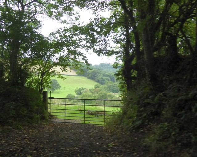
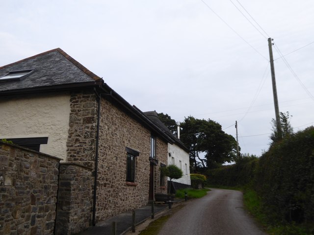
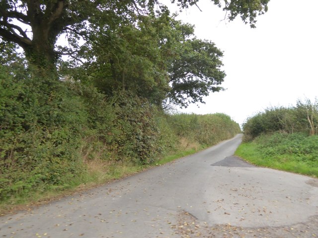
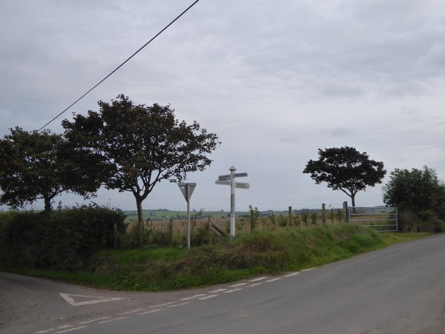
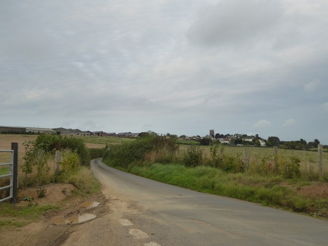
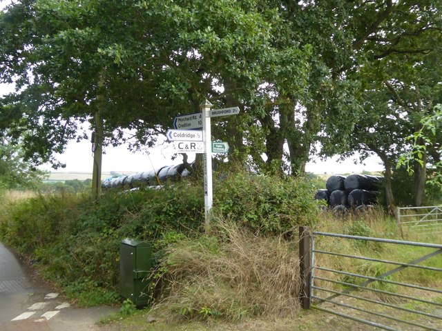
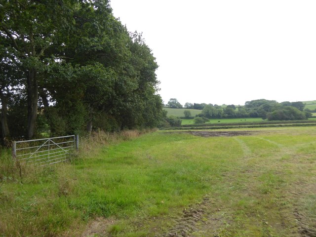
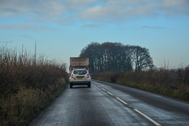
Images are sourced within 2km of 50.853358/-3.8428623 or Grid Reference SS7007. Thanks to Geograph Open Source API. All images are credited.


Napoak Plantation is located at Grid Ref: SS7007 (Lat: 50.853358, Lng: -3.8428623)
Administrative County: Devon
District: Mid Devon
Police Authority: Devon and Cornwall
What 3 Words
///clogging.firewall.confirms. Near Bow, Devon
Nearby Locations
Related Wikis

Coldridge
Coldridge or Coleridge is a village and parish in Devon, England. It appears in the Domesday Book of 1086 as Colrige, which is thought to mean ‘the ridge...
Nymet Rowland
Nymet Rowland is a small village, and civil parish of the same name, in central Devon, England, north of Dartmoor. It takes part of its name from "Nymet...

Lapford railway station
Lapford railway station is a rural station on the Tarka Line, serving the village of Lapford in Devon. It is 18 miles 35 chains (29.7 km) from Exeter Central...

Brushford, Devon
Brushford is a village and civil parish in the Mid Devon district of Devon in England. According to the 2001 census it had a population of 59. The village...
Nearby Amenities
Located within 500m of 50.853358,-3.8428623Have you been to Napoak Plantation?
Leave your review of Napoak Plantation below (or comments, questions and feedback).