Beer Copse

Wood, Forest in Devon West Devon

England

Beer Copse

Ordnance Survey Cut Mark This OS cut mark can be found on the west face of St Michael's Church. It marks a point 223.988m above mean sea level.
Ordnance Survey Cut Mark Credit: Adrian Dust

Beer Copse is a quaint woodland located in the county of Devon, England. This dense forest is characterized by its towering oak, beech, and chestnut trees, creating a lush and vibrant canopy that provides a habitat for a variety of wildlife. The forest floor is carpeted with a rich assortment of ferns, mosses, and wildflowers, adding to the area's natural beauty.

The tranquil atmosphere of Beer Copse makes it a popular destination for nature enthusiasts, hikers, and birdwatchers. The network of winding trails offers visitors the opportunity to explore the diverse landscape and discover the hidden gems within the forest. The sound of bird songs and rustling leaves creates a peaceful ambiance, making it an ideal place for a relaxing stroll or a picnic surrounded by nature.

Beer Copse is also a valuable resource for the local community, providing a sustainable source of timber and firewood. The forest is carefully managed to preserve its biodiversity and ensure its long-term health and vitality.

Overall, Beer Copse is a picturesque woodland retreat that offers a tranquil escape from the hustle and bustle of everyday life, where visitors can immerse themselves in the beauty of nature and reconnect with the great outdoors.

If you have any feedback on the listing, please let us know in the comments section below.
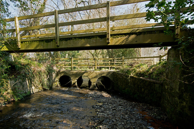
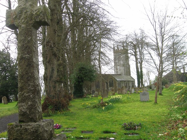
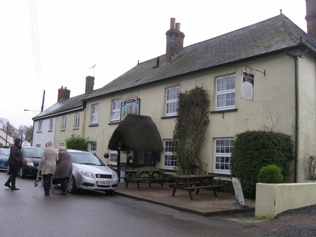
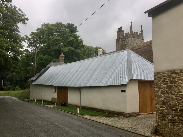
Beer Copse Images

Images are sourced within 2km of 50.765671/-3.8417537 or Grid Reference SX7097. Thanks to Geograph Open Source API. All images are credited.

Ordnance Survey Cut Mark This OS cut mark can be found on the west face of St Michael's Church. It marks a point 223.988m above mean sea level.
Ordnance Survey Cut Mark
This OS cut mark can be found on the west face of St Michael's Church. It marks a point 223.988m above mean sea level.
Combe Moor Lane crossing the River Yeo at Thorn Bridge One of a number of rivers named Yeo. This name is likely to have come from the old English ea meaning running water, a stream or waterway.
Combe Moor Lane crossing the River Yeo at Thorn Bridge
One of a number of rivers named Yeo. This name is likely to have come from the old English ea meaning running water, a stream or waterway.
The downstream side of Thorn Bridge on the River Yeo One of a number of rivers named Yeo. This name is likely to have come from the old English ea meaning running water, a stream or waterway.
The downstream side of Thorn Bridge on the River Yeo
One of a number of rivers named Yeo. This name is likely to have come from the old English ea meaning running water, a stream or waterway.
The upstream side of Thorn Bridge on the River Yeo One of a number of rivers named Yeo. This name is likely to have come from the old English ea meaning running water, a stream or waterway.
The upstream side of Thorn Bridge on the River Yeo
One of a number of rivers named Yeo. This name is likely to have come from the old English ea meaning running water, a stream or waterway.
Looking down the River Yeo from Thorn Bridge One of a number of rivers named Yeo. This name is likely to have come from the old English ea meaning running water, a stream or waterway.
Looking down the River Yeo from Thorn Bridge
One of a number of rivers named Yeo. This name is likely to have come from the old English ea meaning running water, a stream or waterway.
Looking up the River Yeo from Thorn Bridge One of a number of rivers named Yeo. This name is likely to have come from the old English ea meaning running water, a stream or waterway.
Looking up the River Yeo from Thorn Bridge
One of a number of rivers named Yeo. This name is likely to have come from the old English ea meaning running water, a stream or waterway.
Cullaford Bridge on the River Yeo One of a number of rivers named Yeo. This name is likely to have come from the old English ea meaning running water, a stream or waterway.
Cullaford Bridge on the River Yeo
One of a number of rivers named Yeo. This name is likely to have come from the old English ea meaning running water, a stream or waterway.
The downstream side of Cullaford Bridge on the River Yeo One of a number of rivers named Yeo. This name is likely to have come from the old English ea meaning running water, a stream or waterway.
The downstream side of Cullaford Bridge on the River Yeo
One of a number of rivers named Yeo. This name is likely to have come from the old English ea meaning running water, a stream or waterway.
The upstream side of Cullaford Bridge on the River Yeo One of a number of rivers named Yeo. This name is likely to have come from the old English ea meaning running water, a stream or waterway.
The upstream side of Cullaford Bridge on the River Yeo
One of a number of rivers named Yeo. This name is likely to have come from the old English ea meaning running water, a stream or waterway.
Looking down the River Yeo from Cullaford Bridge One of a number of rivers named Yeo. This name is likely to have come from the old English ea meaning running water, a stream or waterway.
Looking down the River Yeo from Cullaford Bridge
One of a number of rivers named Yeo. This name is likely to have come from the old English ea meaning running water, a stream or waterway.
Looking up the River Yeo from Cullaford Bridge One of a number of rivers named Yeo. This name is likely to have come from the old English ea meaning running water, a stream or waterway.
Looking up the River Yeo from Cullaford Bridge
One of a number of rivers named Yeo. This name is likely to have come from the old English ea meaning running water, a stream or waterway.
St Michael's Church
St Michael's Church
The Tom Cobley Tavern
Thorn Bridge Ford This ford on the River Yeo is found on Coombe Moor Road at Thorn Bridge. A video of the ford can be viewed at:
<span class="nowrap"><a title="https://youtu.be/8CCOPBXr3MU" rel="nofollow ugc noopener" href="https://youtu.be/8CCOPBXr3MU">Link</a><img style="margin-left:2px;" alt="External link" title="External link - shift click to open in new window" src="https://s1.geograph.org.uk/img/external.png" width="10" height="10"/></span>
Thorn Bridge Ford
This ford on the River Yeo is found on Coombe Moor Road at Thorn Bridge. A video of the ford can be viewed at: LinkExternal link
The Barton, looking towards the church tower A Grade II listed barn of C14 origin, one of the oldest buildings in the village of Spreyton. This has been recently renovated and restored (along with the ancient farmhouse Of Spreyton Barton).
The Barton, looking towards the church tower
A Grade II listed barn of C14 origin, one of the oldest buildings in the village of Spreyton. This has been recently renovated and restored (along with the ancient farmhouse Of Spreyton Barton).
Staddlestone adjoining the north side of the  church tower Of quite some age and a favourite feature, this lovely staddlestone is adorned by daffodils in springtime. I don’t know if this is the original position for it.
Staddlestone adjoining the north side of the church tower
Of quite some age and a favourite feature, this lovely staddlestone is adorned by daffodils in springtime. I don’t know if this is the original position for it.
Show me another place!

Beer Copse is located at Grid Ref: SX7097 (Lat: 50.765671, Lng: -3.8417537)

Administrative County: Devon

District: West Devon

Police Authority: Devon and Cornwall

What 3 Words

///snap.unicorns.providing. Near Bow, Devon

Related Wikis

Spreyton

Spreyton is a small rural village just north of Dartmoor in Devon, England. Spreyton is famous for its connection to the tale of “Old Uncle Tom Cobley...
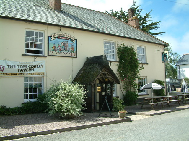
Tom Cobley Tavern

The Tom Cobley Tavern is a pub in Spreyton, Devon, England. It dates back to the 16th century, and may be the 1802 starting point of Uncle Tom Cobley and...

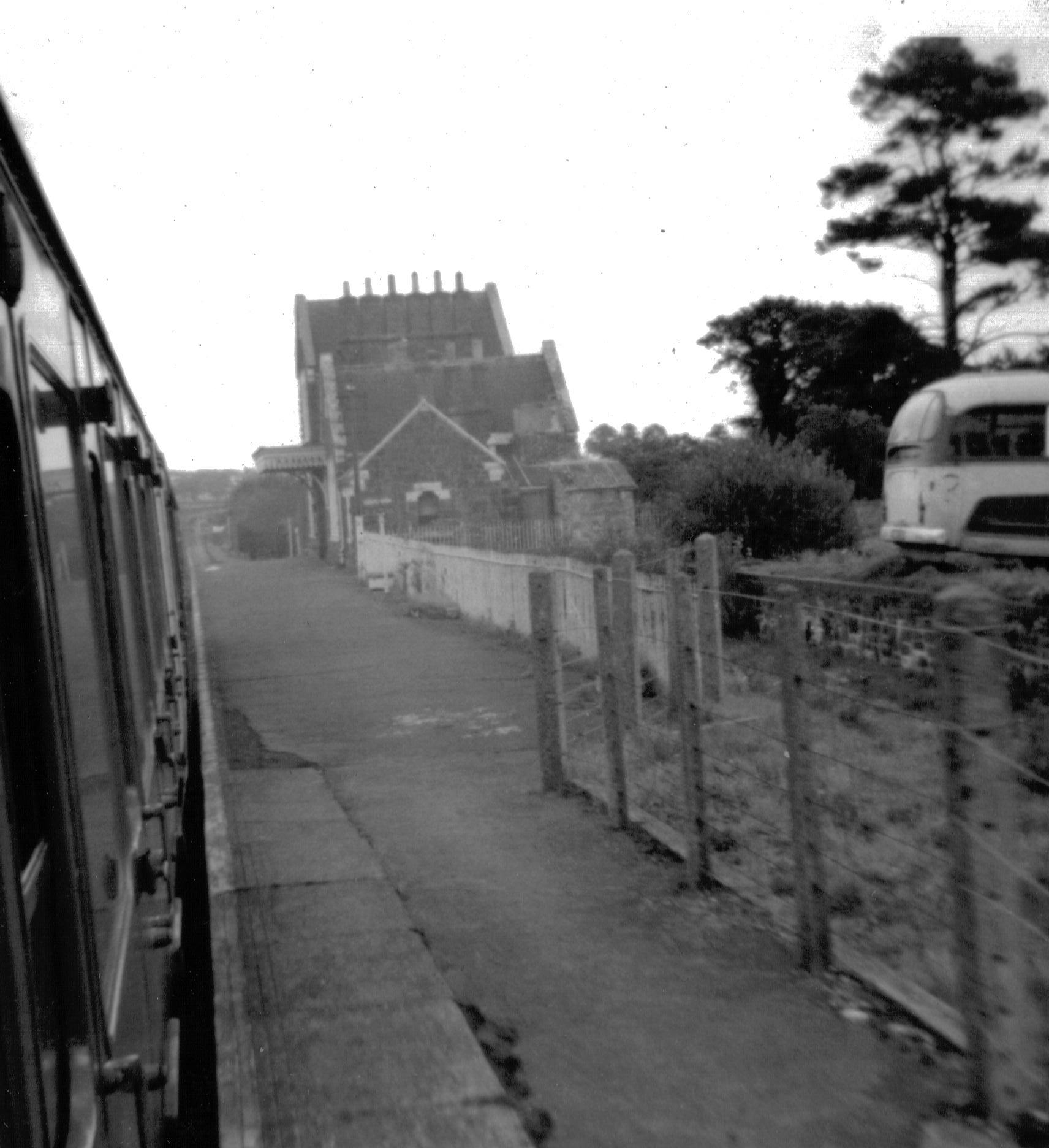
Bow railway station (Devon)

Bow railway station was a railway station serving the village of Bow and the hamlet of Nymet Tracy in Devon. Bow lies about 8 miles west of Crediton....
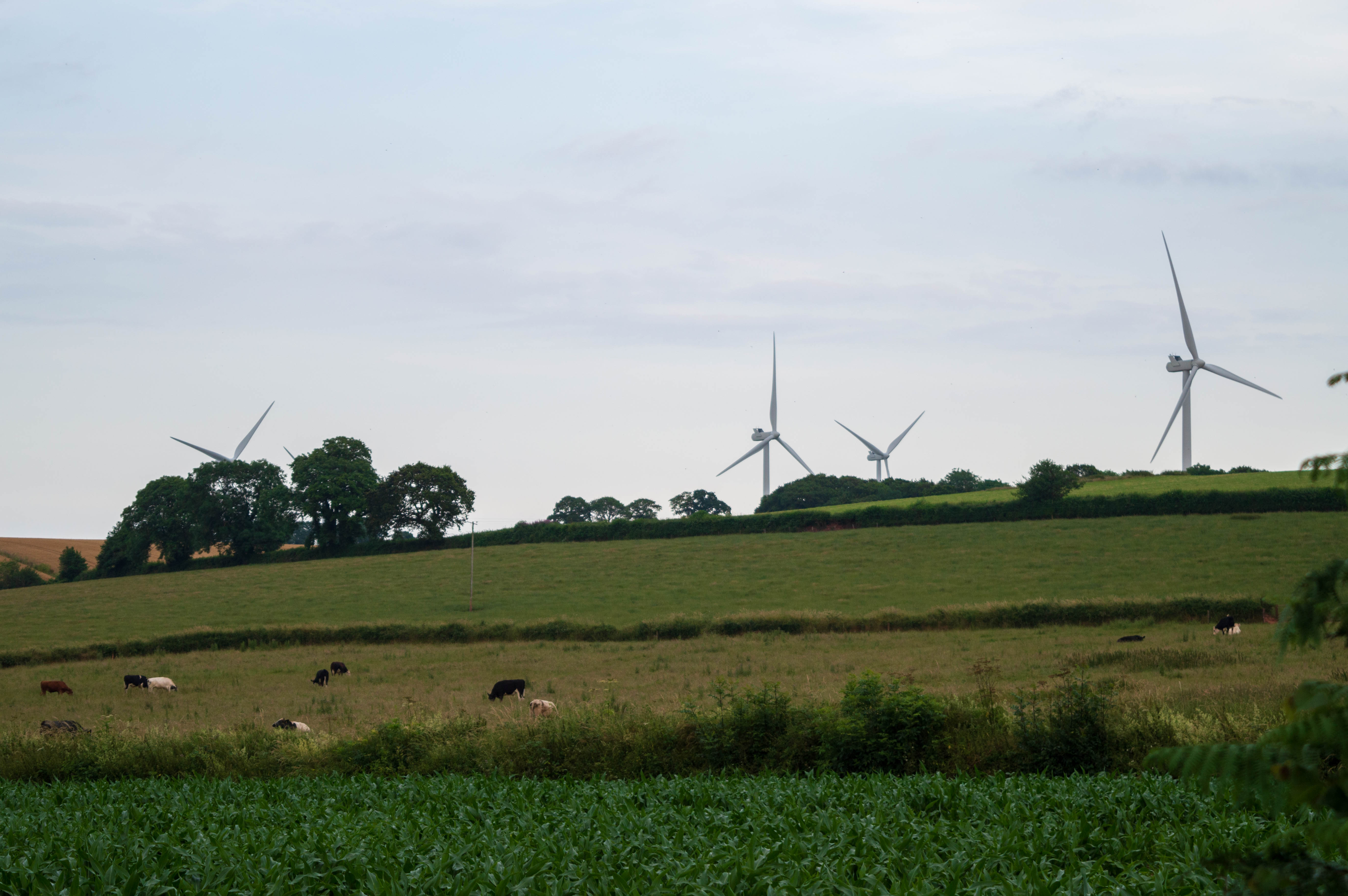
Den Brook Wind Farm

Den Brook Wind Farm is a windfarm in Devon, England. The windfarm is located 2 kilometres (1.2 mi) south-east of North Tawton and 2.5 kilometres (1.6 mi...

Nearby Amenities

Located within 500m of 50.765671,-3.8417537
Place Of Worship
Lat/Long: 50.7617389/-3.8439925
Power: pole
Lat/Long: 50.7634196/-3.8366988
Power: pole
Lat/Long: 50.7650465/-3.847948
Power: pole
Lat/Long: 50.7641067/-3.8461
Power: pole
Lat/Long: 50.7634552/-3.8450244
Power: pole
Lat/Long: 50.7625645/-3.8454965
Power: pole
Lat/Long: 50.7639217/-3.8436297
Power: pole
Lat/Long: 50.7638573/-3.8425541
Power: pole
Lat/Long: 50.7637063/-3.8403842
Power: pole
Lat/Long: 50.7636164/-3.8392389
Power: pole
Lat/Long: 50.7635197/-3.8379756
Northbeer Cross
Place: locality
Lat/Long: 50.762651/-3.8422752
Highfield
Place: hamlet
Lat/Long: 50.7616568/-3.844716
Power: pole
Lat/Long: 50.7643561/-3.8447428
Power: pole
Lat/Long: 50.7648973/-3.8448098
Power: pole
Lat/Long: 50.7640303/-3.8447347
The data included in this document is from www.openstreetmap.org. The data is made available under ODbL.

Have you been to Beer Copse?

Leave your review of Beer Copse below (or comments, questions and feedback).