Alderplot Wood
Wood, Forest in Devon Mid Devon
England
Alderplot Wood
Alderplot Wood is a picturesque woodland located in Devon, England. Spanning over an area of approximately 100 acres, it is known for its diverse ecosystem and scenic beauty. The wood is primarily composed of alder trees, which give it its name, but it also features a variety of other tree species such as oak, birch, and beech.
This ancient woodland has a rich history, dating back several centuries. It was once used as a hunting ground by the local nobility and later served as a timber resource during the industrial revolution. Today, it is protected as a nature reserve, managed by the Devon Wildlife Trust, ensuring the preservation of its natural habitat.
Alderplot Wood offers a haven for wildlife enthusiasts and nature lovers. The dense canopy and undergrowth provide a perfect habitat for a diverse range of animals and plants. Visitors can spot a variety of bird species, including woodpeckers and owls, as well as mammals such as deer, foxes, and badgers. The woodland floor is adorned with a vibrant display of wildflowers, creating a colorful carpet during the spring and summer months.
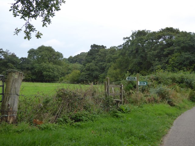
The wood is crisscrossed by well-maintained footpaths, allowing visitors to explore its enchanting surroundings. Walking through the dappled sunlight, visitors can enjoy the tranquil atmosphere and immerse themselves in the beauty of nature. The wood also offers picnic areas and benches, providing a perfect spot for relaxation and contemplation.
Overall, Alderplot Wood in Devon is a captivating destination for those seeking a peaceful retreat amidst nature's splendor.
If you have any feedback on the listing, please let us know in the comments section below.
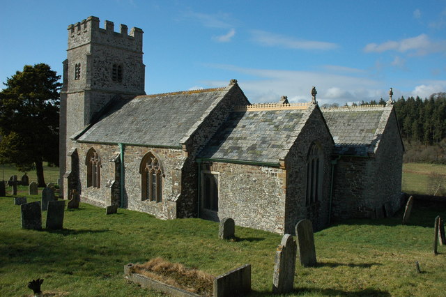
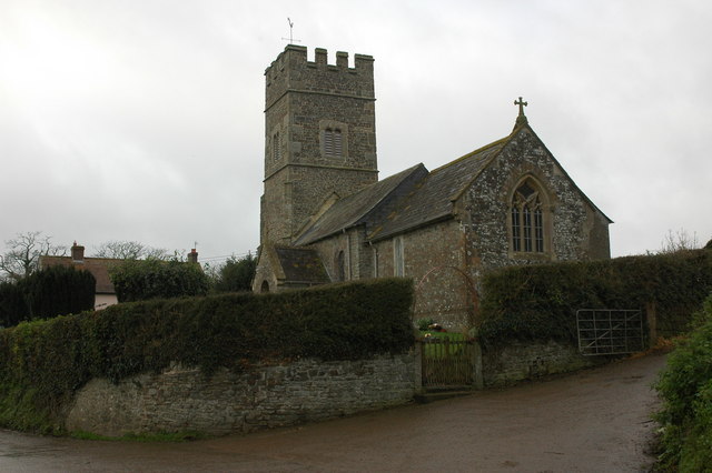
Alderplot Wood Images
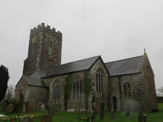
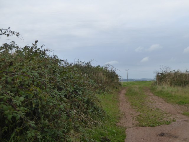
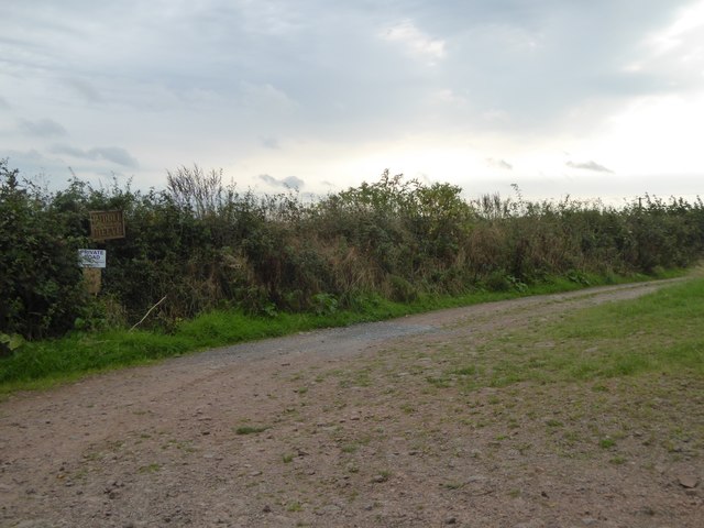
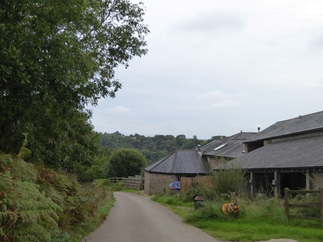
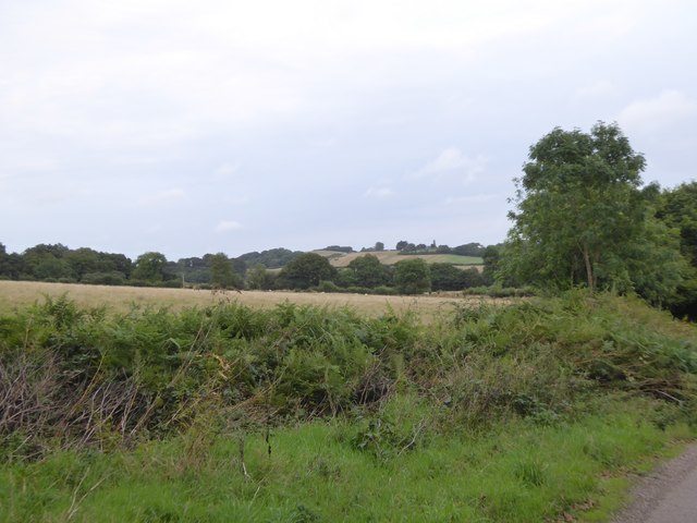
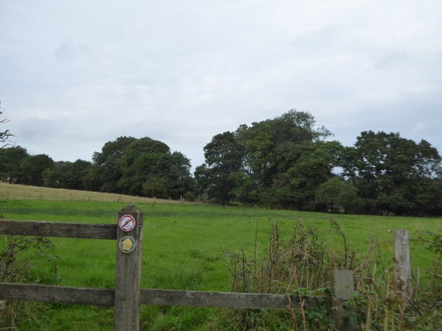
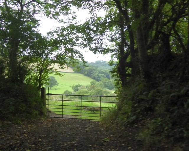
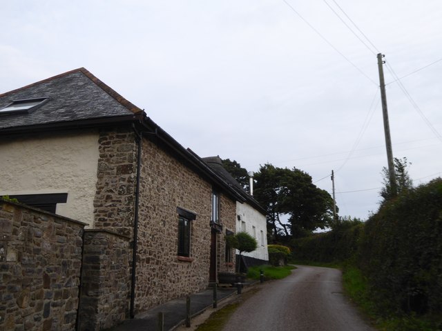
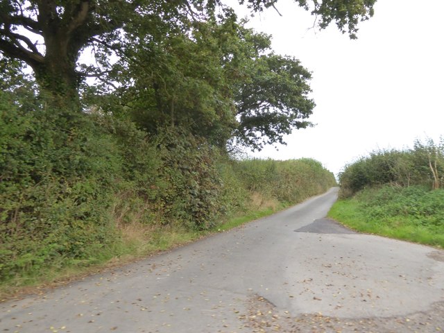
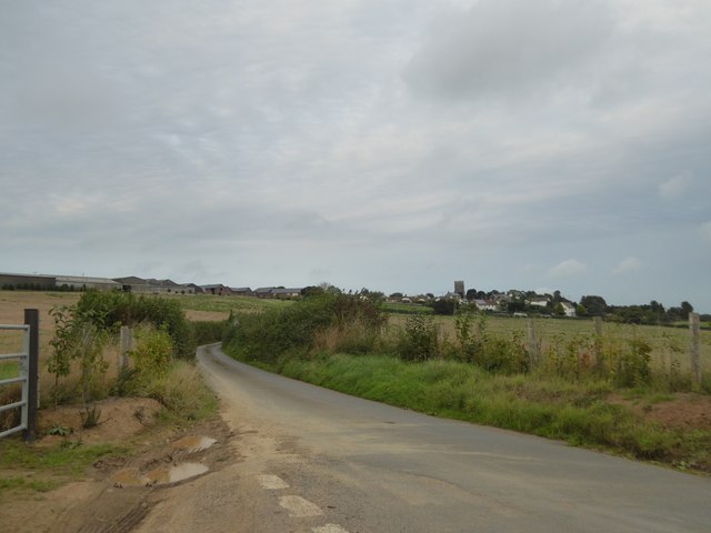
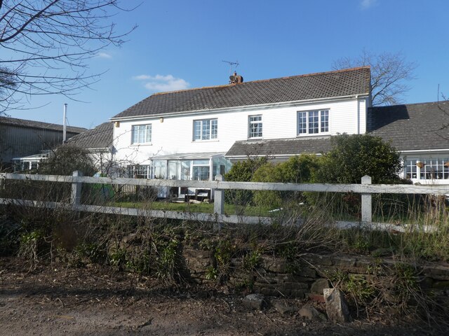
Images are sourced within 2km of 50.869758/-3.8611896 or Grid Reference SS6909. Thanks to Geograph Open Source API. All images are credited.


Alderplot Wood is located at Grid Ref: SS6909 (Lat: 50.869758, Lng: -3.8611896)
Administrative County: Devon
District: Mid Devon
Police Authority: Devon and Cornwall
What 3 Words
///nooks.treaties.backward. Near Chulmleigh, Devon
Nearby Locations
Related Wikis

Coldridge
Coldridge or Coleridge is a village and parish in Devon...
Eggesford
Eggesford () is a parish in mid-Devon, without its own substantial...

Eggesford railway station
Eggesford railway station is a rural station in Devon, England...
Nymet Rowland
Nymet Rowland is a small village, and civil parish of the...

Brushford, Devon
Brushford is a village and civil parish in the Mid Devon...

Wembworthy
Wembworthy is a small village, parish and former manor in...

Tarka Line
The Tarka Line, also known as the North Devon Line, is a...

Lapford railway station
Lapford railway station is a rural station on the Tarka...
Nearby Amenities
Located within 500m of 50.869758,-3.8611896Have you been to Alderplot Wood?
Leave your review of Alderplot Wood below (or comments, questions and feedback).