Willie's Wood
Wood, Forest in Devon West Devon
England
Willie's Wood
The requested URL returned error: 429 Too Many Requests
If you have any feedback on the listing, please let us know in the comments section below.
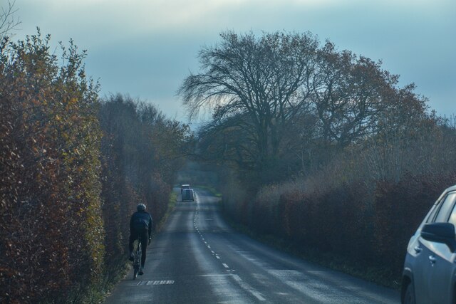
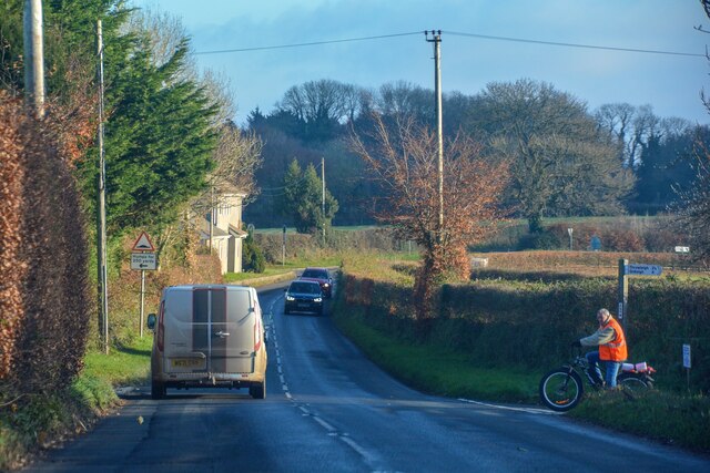
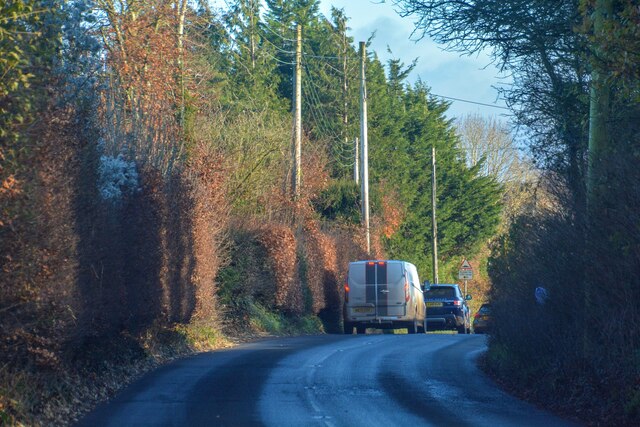
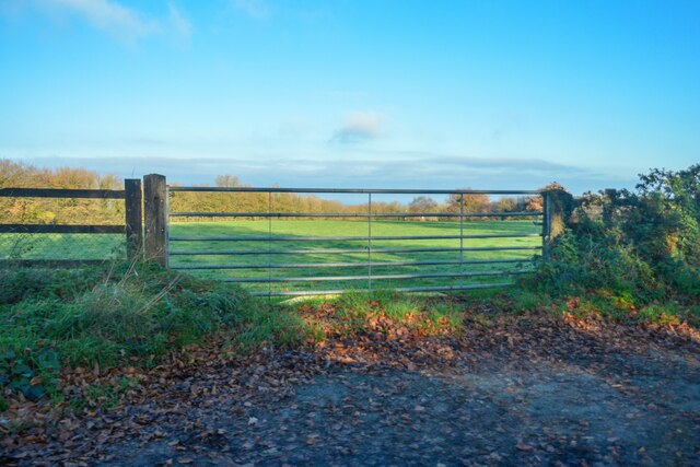
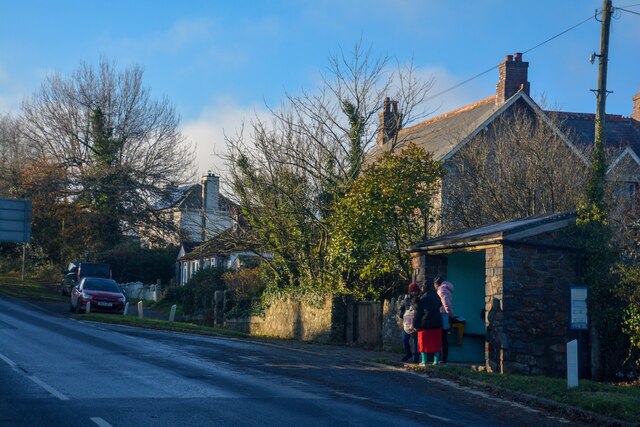
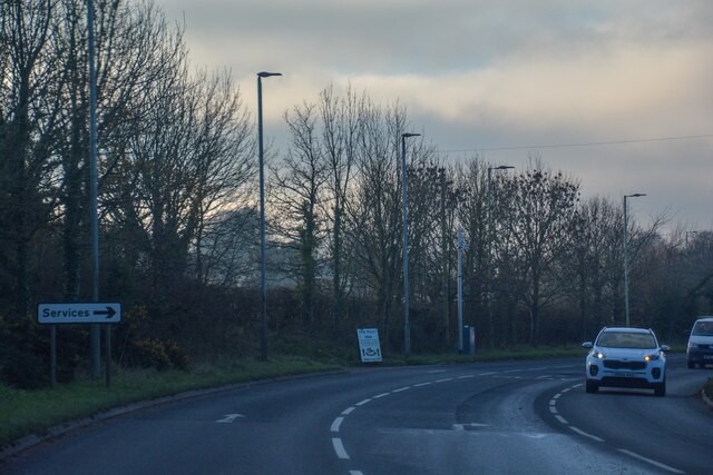
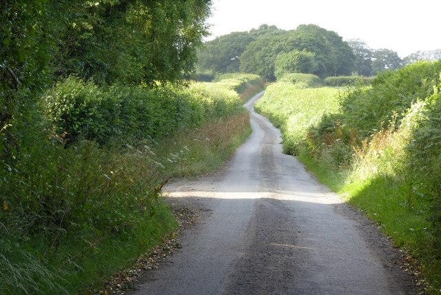
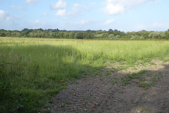
Willie's Wood Images
Images are sourced within 2km of 50.716243/-3.8564601 or Grid Reference SX6992. Thanks to Geograph Open Source API. All images are credited.


Willie's Wood is located at Grid Ref: SX6992 (Lat: 50.716243, Lng: -3.8564601)
Administrative County: Devon
District: West Devon
Police Authority: Devon and Cornwall
What 3 Words
///bunch.replaying.sunk. Near Chagford, Devon
Nearby Locations
Related Wikis

Whiddon Down
Whiddon Down is a hamlet within the parish of Drewsteignton in Devon. == Location == The hamlet lies on the old east–west A30 (London-Penzance) road, between...

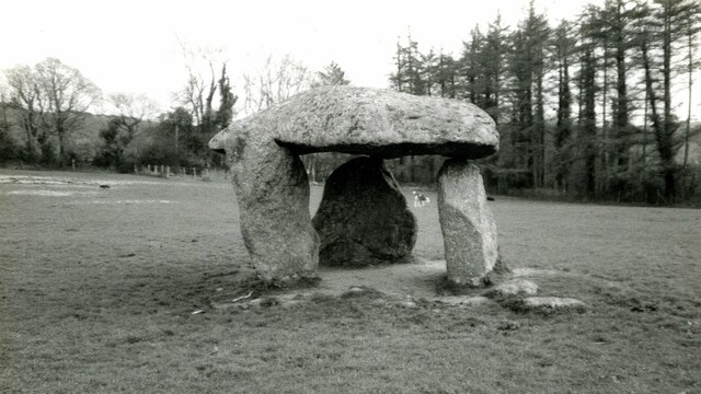
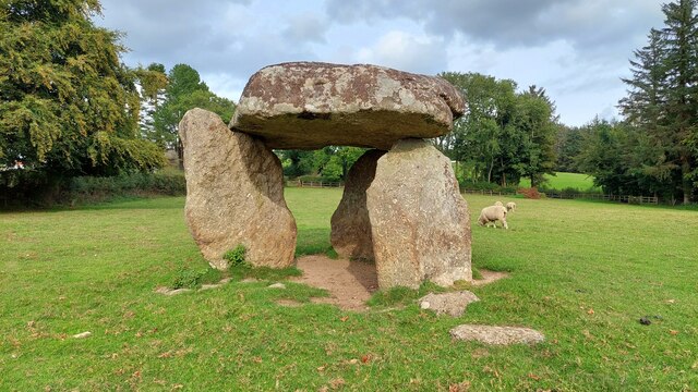
Spinsters' Rock
Spinsters' Rock (grid reference SX701907) is a Neolithic dolmen near Drewsteignton in Devon. It is situated on Shilstone Farm west of the village. It...

Throwleigh
Throwleigh () is a village and civil parish located 3 miles from Chagford and 6 miles from Okehampton, in the West Devon district, in the county of Devon...
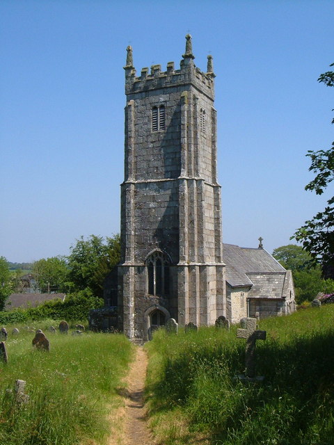
St Mary's Church, Throwleigh
St Mary's Church dates from the late 13th-century, and is a Grade I listed parish church in the Church of England Diocese of Exeter in Throwleigh, Devon...
Nearby Amenities
Located within 500m of 50.716243,-3.8564601Have you been to Willie's Wood?
Leave your review of Willie's Wood below (or comments, questions and feedback).