Chittering

Settlement in Cambridgeshire South Cambridgeshire

England

Chittering

Pavement along A10 Joining the sections of path along the River Great Ouse.
Pavement along A10 Credit: Hugh Venables

Chittering is a small village located in the county of Cambridgeshire, England. Situated approximately 10 miles north of the city of Cambridge, it falls within the district of East Cambridgeshire.

The village is nestled in the picturesque countryside, surrounded by open fields and farmland. It is known for its tranquil and rural setting, making it an ideal place for those seeking a peaceful retreat from the hustle and bustle of city life. Chittering is located on the banks of the River Cam, which adds to its scenic beauty.

Although small in size, Chittering offers a range of amenities for its residents and visitors. These include a primary school, a village hall, a church, and a local pub. The village also benefits from a vibrant community spirit, with various social events and activities taking place throughout the year.

Chittering's rural location makes it a haven for nature lovers and outdoor enthusiasts. The surrounding countryside provides ample opportunities for walking, cycling, and exploring the local flora and fauna. The nearby River Cam offers opportunities for boating and fishing.

Despite its peaceful atmosphere, Chittering benefits from its proximity to the city of Cambridge. Residents of the village have easy access to the city's amenities, including its world-renowned university, shopping centers, cultural attractions, and transport links.

In conclusion, Chittering is a charming and idyllic village in Cambridgeshire, offering a rural escape while still being within reach of the nearby city of Cambridge.

If you have any feedback on the listing, please let us know in the comments section below.

Chittering Images

Images are sourced within 2km of 52.307594/0.198772 or Grid Reference TL5070. Thanks to Geograph Open Source API. All images are credited.

Pavement along A10 Joining the sections of path along the River Great Ouse.
Pavement along A10
Joining the sections of path along the River Great Ouse.
Footpath along River Great Ouse Crossing Chear Lode, leaving the A10.
Footpath along River Great Ouse
Crossing Chear Lode, leaving the A10.
Footpath along River Great Ouse
Engine Drain Compare with <a href="https://www.geograph.org.uk/photo/1138463">TL4870 : Engine Drain</a>
Engine Drain
Compare with TL4870 : Engine Drain
Great Ouse from Chear Fen pumping station
Cottenham Long Drove
Field by Cottenham Long Drove
Clay pigeon shooting post At Chear Fen Farm.
Clay pigeon shooting post
At Chear Fen Farm.
The Undertakers
The Undertakers
The Undertakers
The Undertakers
Clay pigeon trap With significant earth moving behind on Chear Fen.
Clay pigeon trap
With significant earth moving behind on Chear Fen.
Footpath along Engine Drove There are clay pigeon shooting posts by the path, with signs asking walkers (there won't be many) to sound a horn or phone ahead for safe passage.
Footpath along Engine Drove
There are clay pigeon shooting posts by the path, with signs asking walkers (there won't be many) to sound a horn or phone ahead for safe passage.
Clay pigeon shooting post At Chear Fen Farm.
Clay pigeon shooting post
At Chear Fen Farm.
Clay pigeon shooting With a sign explaining to walkers how to avoid getting shot themselves.
Clay pigeon shooting
With a sign explaining to walkers how to avoid getting shot themselves.
Engine Drove With clay pigeon shooting at Chear Fen Farm.
Engine Drove
With clay pigeon shooting at Chear Fen Farm.
Long Drove
Long Drove
Potato crop, Mitchell Hill Common, Cottenham, Cambs
Long Drove and Engine Drain, Cottenham, Cambs
Show me another place!

Chittering is located at Grid Ref: TL5070 (Lat: 52.307594, Lng: 0.198772)

Administrative County: Cambridgeshire

District: South Cambridgeshire

Police Authority: Cambridgeshire

What 3 Words

///year.relishes.reviews. Near Stretham, Cambridgeshire

Nearby Locations

Chittering

Related Wikis

Chittering, Cambridgeshire

Chittering is a hamlet about 8 miles (13 km) north of Cambridge in Cambridgeshire, England. For administrative purposes it is part of the parish of Waterbeach...
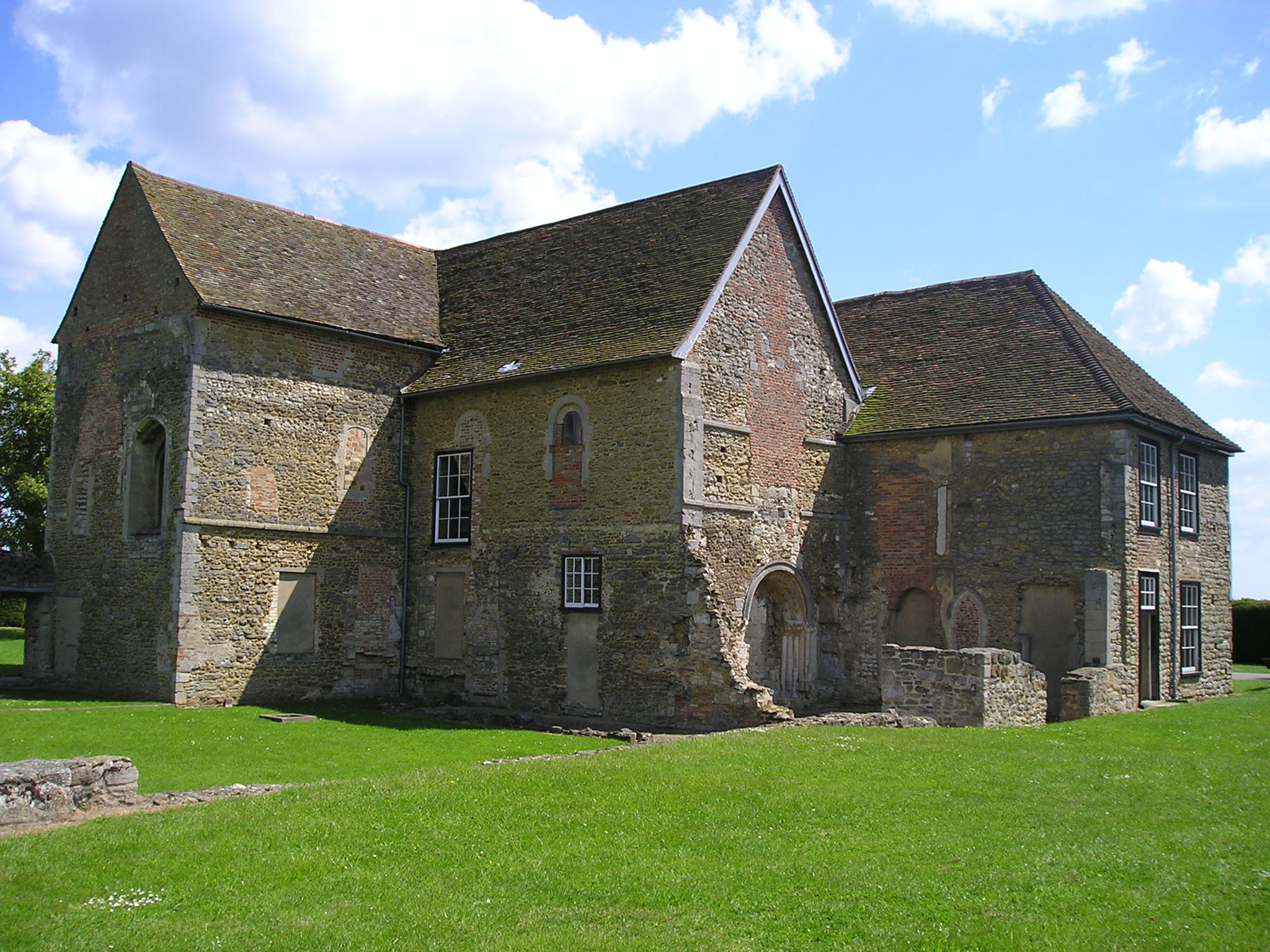
Denny Abbey

Denny Abbey is a former abbey near Waterbeach, about 6 miles (10 km) north of Cambridge in Cambridgeshire, England. It is now the Farmland Museum and Denny...

Huntingdonshire Football Association

The Huntingdonshire Football Association, also simply known as the Huntingdonshire FA, is the governing body of football in Huntingdonshire. == References... ==

Stretham Old Engine

Stretham Old Engine is a steam-powered engine just south of Stretham in Cambridgeshire, England, that was used to pump water from flood-affected areas...

Nearby Amenities

Located within 500m of 52.307594,0.198772
Post Box
Collection Times: Mo-Fr 09:00; Sa 07:00
Operator: Royal Mail
Post Box Type: lamp
Postal Code: CB25 9
Ref: CB25 262
Lat/Long: 52.3080713/0.1931878
Telephone
Booth: KX100
Covered: booth
Lat/Long: 52.3079696/0.193101
Chittering
Is In: Cambridgeshire, England, UK
Place: hamlet
Wikidata: Q1779231
Lat/Long: 52.3088481/0.1947284
Varsity Farm
Landuse: farm
Note Retag: CS #48756035
Lat/Long: 52.3052823/0.20158
Bus Stop
School Lane
Naptan AtcoCode: 0500SWATE001
Naptan Bearing: NE
Naptan BusStopType: CUS
Naptan CommonName: School Lane
Naptan Indicator: opp
Naptan Landmark: School Lane
Naptan NaptanCode: cmbgawpt
Naptan Street: Ely Road
Naptan Verified: no
Source: naptan_import
Lat/Long: 52.3085593/0.1934203
Bus Stop
School Lane
Naptan AtcoCode: 0500SWATE002
Naptan Bearing: SW
Naptan CommonName: School Lane
Naptan Indicator: near
Naptan Landmark: School Lane
Naptan NaptanCode: cmbgawpw
Naptan Street: Ely Road
Naptan Verified: no
Shelter: yes
Source: naptan_import
Lat/Long: 52.3080298/0.1931535
Power: pole
Lat/Long: 52.3081941/0.1927368
Power: pole
Source: bing
Lat/Long: 52.3067607/0.1956605
Power: pole
Source: bing
Lat/Long: 52.3045204/0.2017021
Power: pole
Source: bing
Lat/Long: 52.3052281/0.1997401
Power: pole
Source: bing
Lat/Long: 52.3042892/0.2032001
Power: pole
Source: bing
Lat/Long: 52.3055765/0.1987848
Power: pole
Source: bing
Lat/Long: 52.3049395/0.2005488
Power: pole
Source: bing
Lat/Long: 52.3063876/0.1966811
Power: pole
Source: bing
Lat/Long: 52.3047345/0.2011067
Power: pole
Source: bing
Lat/Long: 52.305985/0.1977271
Power: pole
Source: bing
Lat/Long: 52.3042957/0.2025778
Power: pole
Source: bing
Lat/Long: 52.3072322/0.1943851
Power: pole
Source: bing
Lat/Long: 52.3042982/0.2023096
The data included in this document is from www.openstreetmap.org. The data is made available under ODbL.

Have you been to Chittering?

Leave your review of Chittering below (or comments, questions and feedback).