Western Wood

Wood, Forest in Devon Mid Devon

England

Western Wood

The Church of St Matthew at Coldridge Viewed from the south-east.
The Church of St Matthew at Coldridge Credit: Peter Wood

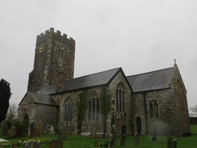
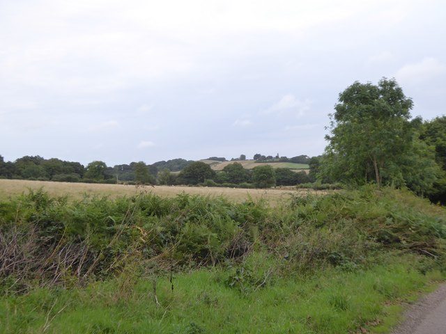
Western Wood is a picturesque forest located in the county of Devon, England. Covering an area of approximately 500 hectares, it is a significant woodland in the region and is known for its rich biodiversity and natural beauty. The wood is situated within the Dartmoor National Park, adding to its appeal as a popular destination for nature enthusiasts and outdoor activities.

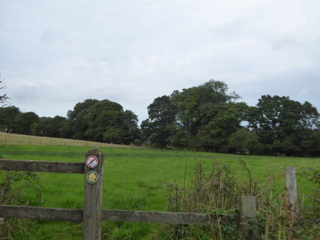
The forest is predominantly composed of deciduous trees, including oak, beech, and birch, which create a diverse and vibrant canopy. The undergrowth is equally diverse, featuring a variety of wildflowers, ferns, and mosses. This abundance of plant life provides a habitat for a wide range of animal species, such as deer, badgers, foxes, and numerous bird species, making it a haven for wildlife enthusiasts and birdwatchers.

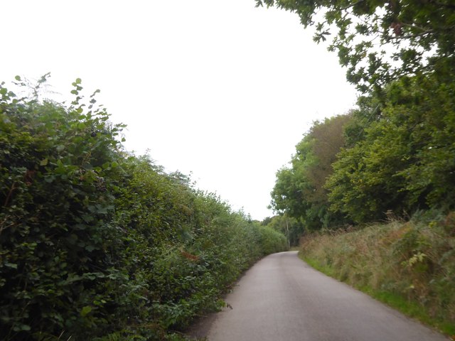
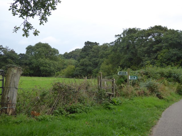
Western Wood offers an extensive network of well-maintained walking trails, allowing visitors to explore its natural wonders at their leisure. These trails provide opportunities for peaceful walks, jogging, and even horse riding. Additionally, the forest has designated picnic areas where visitors can relax and enjoy the tranquility of the surroundings.

The wood is easily accessible, with ample parking facilities and nearby public transportation options. There are also information boards located at the entrances, providing visitors with details about the woodland's flora, fauna, and historical significance.

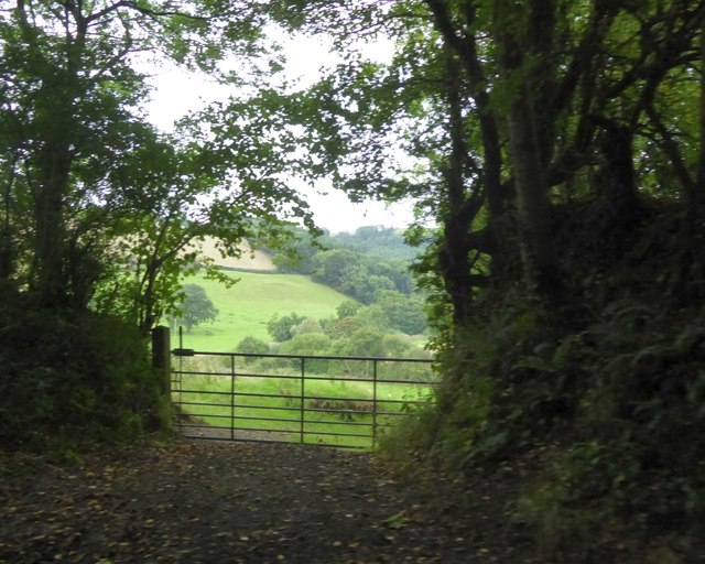
Overall, Western Wood is a captivating natural haven, offering a serene escape from the hustle and bustle of everyday life. Its diverse ecosystem and well-maintained trails make it an ideal destination for nature lovers and outdoor enthusiasts seeking to immerse themselves in the beauty of Devon's woodlands.

If you have any feedback on the listing, please let us know in the comments section below.
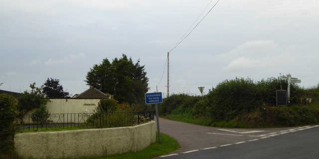
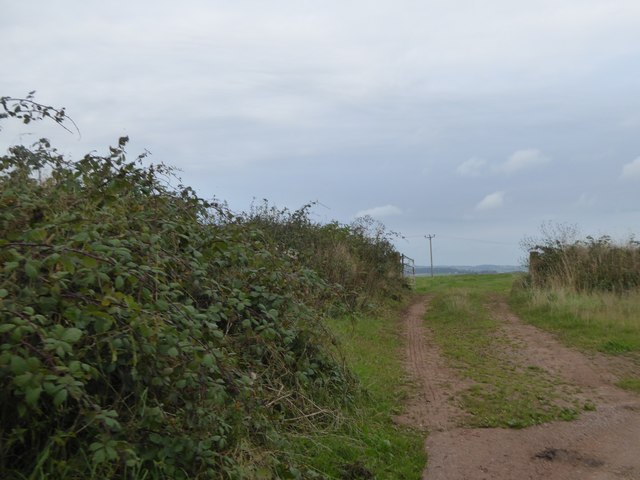
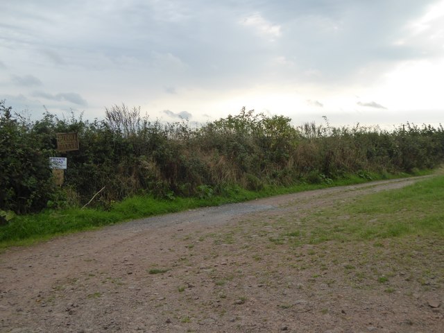
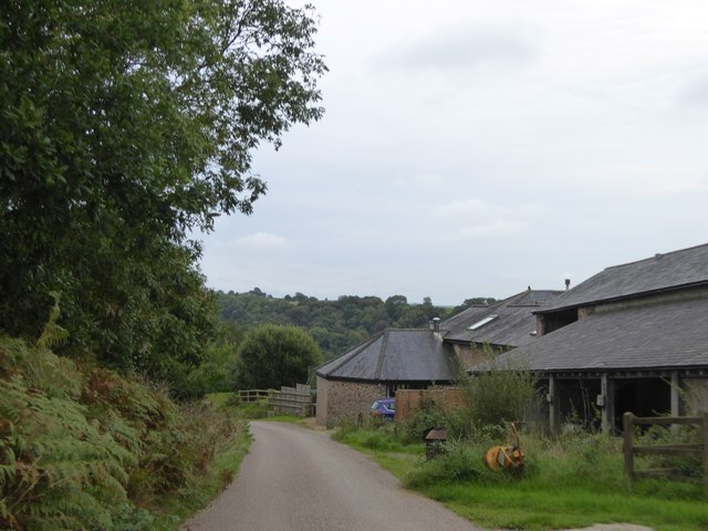
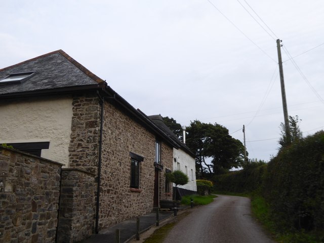
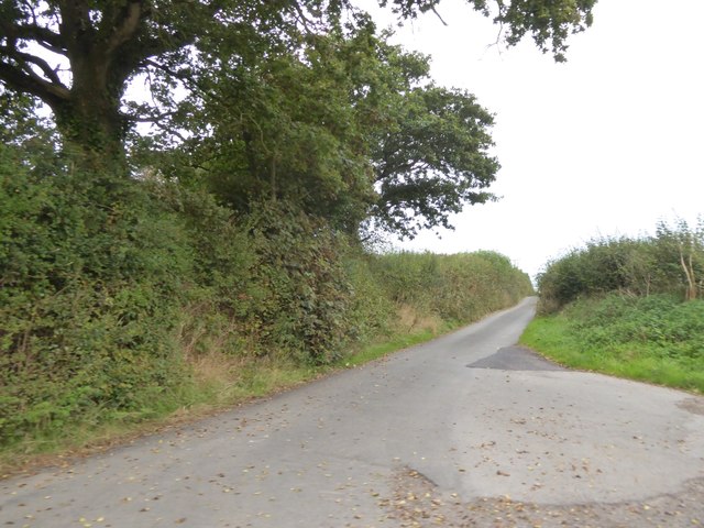
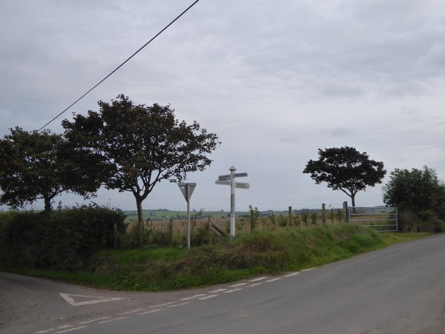
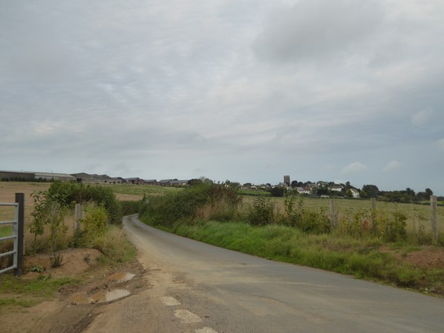
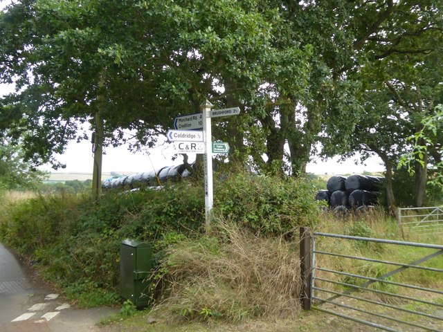
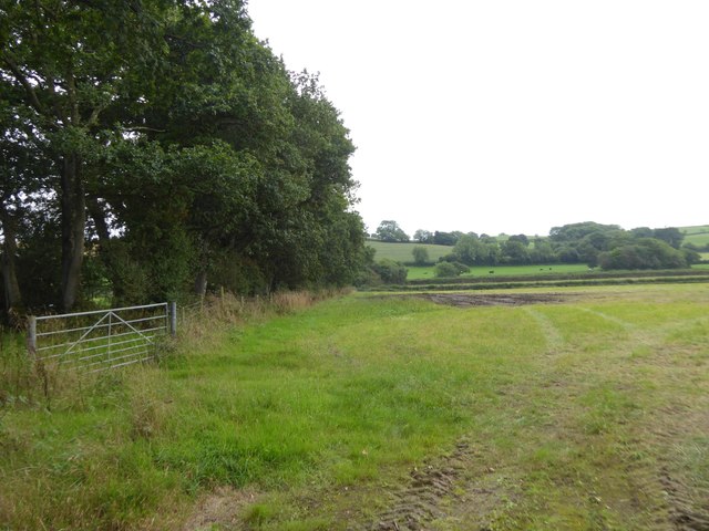
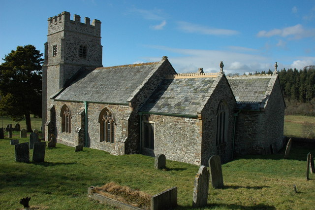
Western Wood Images

Images are sourced within 2km of 50.85949/-3.8717503 or Grid Reference SS6808. Thanks to Geograph Open Source API. All images are credited.

The Church of St Matthew at Coldridge Viewed from the south-east.
The Church of St Matthew at Coldridge
Viewed from the south-east.
Ordnance Survey Cut Mark This OS cut mark can be found on the porch of St Mary's Church. It marks a point 139.531m above mean sea level.
Ordnance Survey Cut Mark
This OS cut mark can be found on the porch of St Mary's Church. It marks a point 139.531m above mean sea level.
Ordnance Survey Cut Mark This OS cut mark can be found below the letter box at Brushford Cross. It marks a point 142.890m above mean sea level.
Ordnance Survey Cut Mark
This OS cut mark can be found below the letter box at Brushford Cross. It marks a point 142.890m above mean sea level.
The road to Partridge Walls Cross Narrow road with hedgebanks; the boundary between Eggesford and Brushford runs along this stretch of road
The road to Partridge Walls Cross
Narrow road with hedgebanks; the boundary between Eggesford and Brushford runs along this stretch of road
Partridge Walls Cross crossroads
Field entrance north of Middle Reeve The field is the easternmost on the ridge east of Abbotsham Moor
Field entrance north of Middle Reeve
The field is the easternmost on the ridge east of Abbotsham Moor
Private road and public footpath to Middle Reeve
Farm at Lower Reeve
Farm at Lower Reeve
View from east of Lower Reeve Unusually, the road is bounded by a low hedge.  The field has a gentle slope to the east, the valley of the Taw.  The fields on the horizon are on the opposite side of the valley
View from east of Lower Reeve
Unusually, the road is bounded by a low hedge. The field has a gentle slope to the east, the valley of the Taw. The fields on the horizon are on the opposite side of the valley
Footpath signs and Westacott Wood The sign pointing east is for the Tarka Trail, following the River Taw valley.  Opposite is a footpath.  The Tarka Trail follows the road to cross the Taw and then continues westwards in Westacott Wood
Footpath signs and Westacott Wood
The sign pointing east is for the Tarka Trail, following the River Taw valley. Opposite is a footpath. The Tarka Trail follows the road to cross the Taw and then continues westwards in Westacott Wood
The Tarka Trail near Coldridge Bridge The path crosses a stile and runs eastwards parallel to the River Taw
The Tarka Trail near Coldridge Bridge
The path crosses a stile and runs eastwards parallel to the River Taw
View from Holm Wood to Taw valley A gateway for the bridleway into the valley from Holm Hill and Holm Wood
View from Holm Wood to Taw valley
A gateway for the bridleway into the valley from Holm Hill and Holm Wood
Holm on Holm Hill A farm and barn conversion by the minor road from Coldridge Bridge
Holm on Holm Hill
A farm and barn conversion by the minor road from Coldridge Bridge
Road to Coldridge from Holm Cross
Burrowplot Cross
Burrowplot Cross
The road to Coldridge The village is set on a ridge amidst farming country
The road to Coldridge
The village is set on a ridge amidst farming country
Signpost at Church Lane Cross
Bridleway south of Church Lane Cross This leads to Chilverton <a href="https://www.geograph.org.uk/photo/2329855">SS6906 : Bridleway, Chilverton</a>
Bridleway south of Church Lane Cross
This leads to Chilverton SS6906 : Bridleway, Chilverton
Show me another place!

Western Wood is located at Grid Ref: SS6808 (Lat: 50.85949, Lng: -3.8717503)

Administrative County: Devon

District: Mid Devon

Police Authority: Devon and Cornwall

What 3 Words

///refrained.student.outings. Near Winkleigh, Devon

Related Wikis

Brushford, Devon

Brushford is a village and civil parish in the Mid Devon district of Devon in England. According to the 2001 census it had a population of 59. The village...

Coldridge

Coldridge or Coleridge is a village and parish in Devon, England. It appears in the Domesday Book of 1086 as Colrige, which is thought to mean ‘the ridge...

Wembworthy

Wembworthy is a small village, parish and former manor in Mid-Devon, England. It is situated in the valley of the River Taw, 8 miles north-east of the...

Eggesford

Eggesford () is a parish in mid-Devon, without its own substantial village. It is served by Eggesford railway station on the Exeter to Barnstaple railway...

Nearby Amenities

Located within 500m of 50.85949,-3.8717503
Power: pole
Lat/Long: 50.8572673/-3.8663077
Power: pole
Lat/Long: 50.8575585/-3.8679412
Power: pole
Lat/Long: 50.8581985/-3.8716614
Power: pole
Lat/Long: 50.8584101/-3.8730052
Power: pole
Lat/Long: 50.8586878/-3.8747835
Power: pole
Lat/Long: 50.8589773/-3.8762936
Power: pole
Lat/Long: 50.8592855/-3.8781604
The data included in this document is from www.openstreetmap.org. The data is made available under ODbL.

Have you been to Western Wood?

Leave your review of Western Wood below (or comments, questions and feedback).