Scrabbacleave Plantation
Wood, Forest in Devon Mid Devon
England
Scrabbacleave Plantation
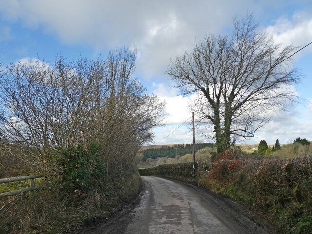
Scrabbacleave Plantation is a picturesque woodland located in Devon, England. Situated in the village of Scrabbacleave, it covers a vast area of lush greenery and is a significant part of the local landscape. The plantation is known for its dense forest, diverse wildlife, and tranquil atmosphere, making it a popular destination for nature enthusiasts and visitors seeking peace and solitude.
The woodland in Scrabbacleave Plantation is characterized by a variety of tree species, including oak, beech, ash, and conifers, which create a rich and vibrant canopy. The forest floor is adorned with a carpet of wildflowers, ferns, and mosses, adding to its natural beauty. The plantation is well-maintained, with designated walking trails that allow visitors to explore its wonders while preserving its fragile ecosystem.
The wildlife in Scrabbacleave Plantation is abundant and diverse. Visitors may encounter various bird species, such as woodpeckers, owls, and songbirds, filling the air with their melodious calls. Squirrels scurrying amidst the treetops and rabbits darting through the undergrowth are a common sight. Additionally, the plantation is home to deer, badgers, and foxes, providing a glimpse into the region's thriving ecosystem.
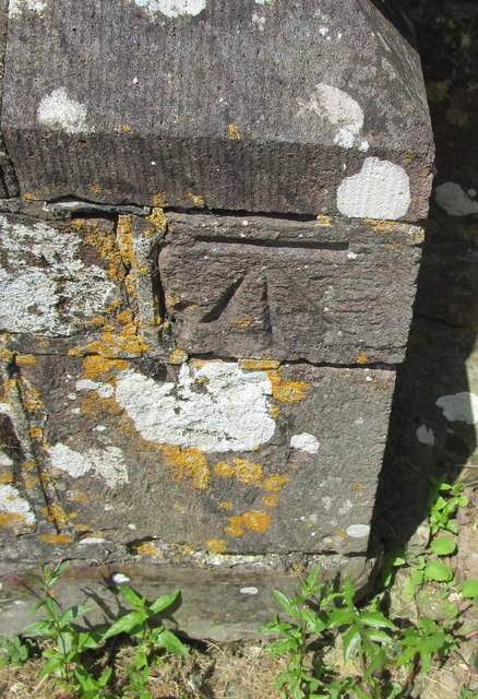
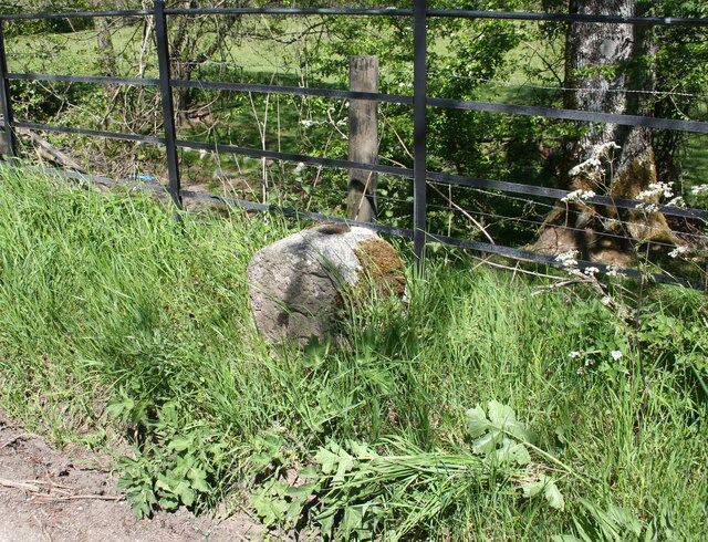
Beyond its natural splendor, Scrabbacleave Plantation also holds historical significance. It is believed that the woodland has been in existence for centuries, with remnants of old structures and boundary markers scattered throughout. These artifacts offer glimpses into the area's past and add an element of intrigue to the plantation's charm.
Overall, Scrabbacleave Plantation is a haven of natural beauty, offering a tranquil retreat from the bustle of everyday life. Its lush woodland, diverse wildlife, and historical significance make it an enchanting destination for nature lovers and history enthusiasts alike.
If you have any feedback on the listing, please let us know in the comments section below.
Scrabbacleave Plantation Images
Images are sourced within 2km of 50.880953/-3.8776287 or Grid Reference SS6810. Thanks to Geograph Open Source API. All images are credited.


Scrabbacleave Plantation is located at Grid Ref: SS6810 (Lat: 50.880953, Lng: -3.8776287)
Administrative County: Devon
District: Mid Devon
Police Authority: Devon and Cornwall
What 3 Words
///whistle.mountain.shuttling. Near Chulmleigh, Devon
Nearby Locations
Related Wikis
Eggesford
Eggesford () is a parish in mid-Devon, without its own substantial village. It is served by Eggesford railway station on the Exeter to Barnstaple railway...

Eggesford railway station
Eggesford railway station is a rural station in Devon, England, serving Eggesford, the town of Chulmleigh and surrounding villages. Despite its name, the...

Tarka Line
The Tarka Line, also known as the North Devon Line, is a local railway line in Devon, England, linking the city of Exeter with the town of Barnstaple via...

Wembworthy
Wembworthy is a small village, parish and former manor in Mid-Devon, England. It is situated in the valley of the River Taw, 8 miles north-east of the...
Nearby Amenities
Located within 500m of 50.880953,-3.8776287Have you been to Scrabbacleave Plantation?
Leave your review of Scrabbacleave Plantation below (or comments, questions and feedback).