Barlinch Plantation

Wood, Forest in Devon Mid Devon

England

Barlinch Plantation

Ordnance Survey Cut Mark This OS cut mark can be found on the porch of St Mary's Church. It marks a point 139.531m above mean sea level.
Ordnance Survey Cut Mark Credit: Adrian Dust

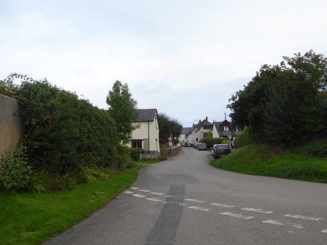
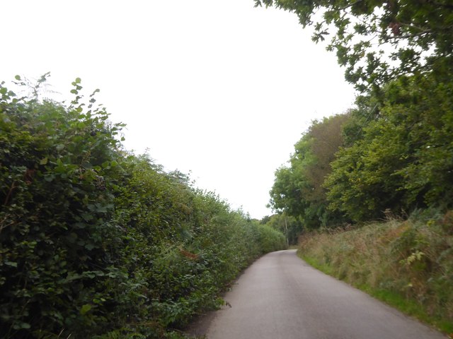
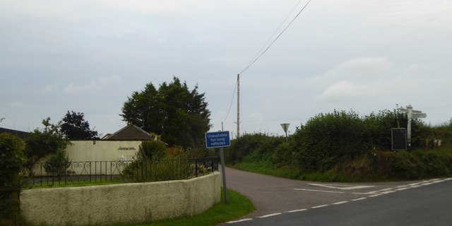
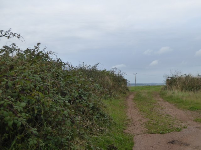
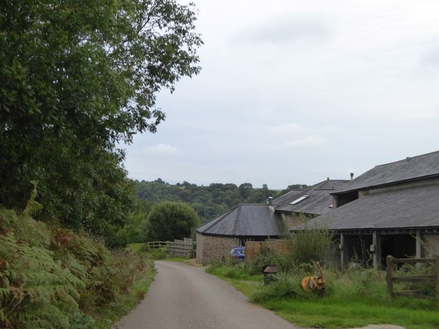
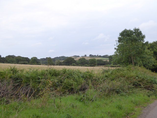
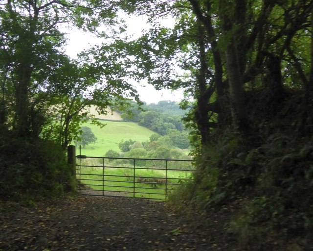
Barlinch Plantation is a picturesque woodland located in the county of Devon, England. Spanning over a vast area, it is a popular destination for nature enthusiasts and outdoor adventurers alike. The plantation is nestled amidst the rolling hills and lush greenery of the Devon countryside, providing a tranquil and serene environment.

The woodland is predominantly made up of a variety of trees, including oak, beech, and pine, which create a dense canopy overhead. This diverse ecosystem supports a wide range of plant and animal species, making it an ideal spot for wildlife observation and birdwatching. Visitors can expect to encounter various woodland creatures, such as deer, foxes, and an array of bird species.

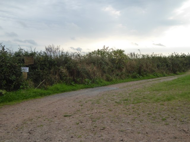
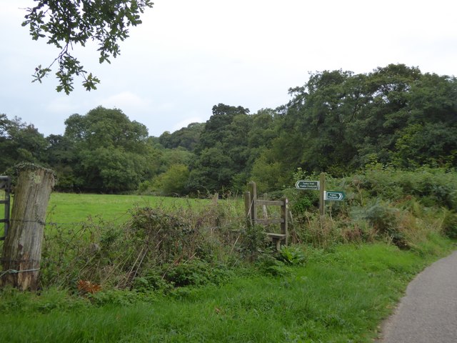
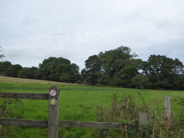
Barlinch Plantation offers numerous walking trails and footpaths, allowing visitors to explore the woodland at their own pace. The trails are well-maintained and provide stunning views of the surrounding countryside. There are also designated picnic areas where visitors can relax and enjoy a meal amidst the natural beauty of the plantation.

In addition to its natural beauty, Barlinch Plantation is steeped in history and folklore. It is said to have been a site of ancient settlements and has even been linked to local myths and legends. This adds an element of intrigue and mystique to the overall experience of exploring the woodland.

Overall, Barlinch Plantation in Devon offers a unique opportunity to immerse oneself in the beauty of nature, discover local wildlife, and take a step back in time through its historical significance. Whether it's a leisurely stroll or an adventurous hike, this woodland is sure to captivate the hearts of all who visit.

If you have any feedback on the listing, please let us know in the comments section below.

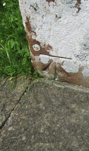
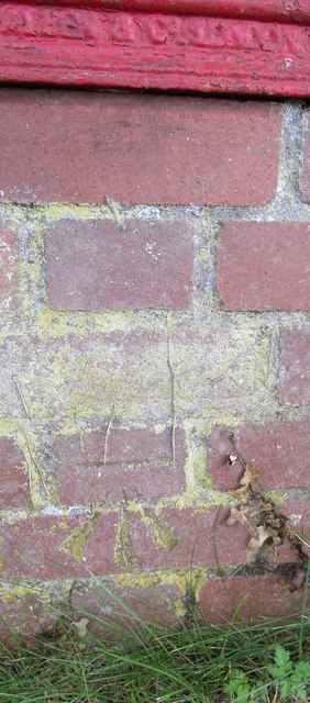
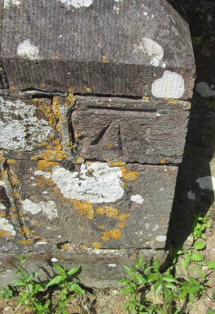
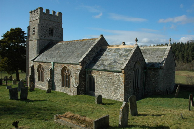
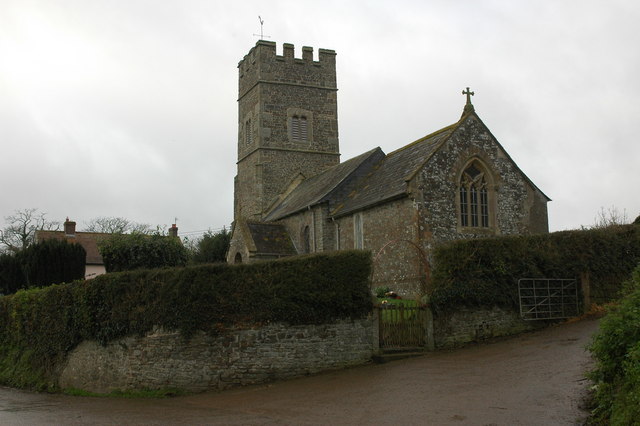
Barlinch Plantation Images

Images are sourced within 2km of 50.868601/-3.8784255 or Grid Reference SS6709. Thanks to Geograph Open Source API. All images are credited.

Ordnance Survey Cut Mark This OS cut mark can be found on the porch of St Mary's Church. It marks a point 139.531m above mean sea level.
Ordnance Survey Cut Mark
This OS cut mark can be found on the porch of St Mary's Church. It marks a point 139.531m above mean sea level.
Ordnance Survey Cut Mark This OS cut mark can be found below the letter box at Brushford Cross. It marks a point 142.890m above mean sea level.
Ordnance Survey Cut Mark
This OS cut mark can be found below the letter box at Brushford Cross. It marks a point 142.890m above mean sea level.
Ordnance Survey Cut Mark This OS cut mark can be found on the south face of St Michael's Church. It marks a point 151.804m above mean sea level.
Ordnance Survey Cut Mark
This OS cut mark can be found on the south face of St Michael's Church. It marks a point 151.804m above mean sea level.
Road junction at Blackhorse Corner, Wembworthy  Looking east to the village
Road junction at Blackhorse Corner, Wembworthy
Looking east to the village
Signpost at Blackhorse Corner, Wembworthy Also named as Black Horse Corner on OS maps; a forth arm of the junction is unsigned, as it is a track and footpath
Signpost at Blackhorse Corner, Wembworthy
Also named as Black Horse Corner on OS maps; a forth arm of the junction is unsigned, as it is a track and footpath
The Lymington Arms at Lama Cross
Lymington Arms and its car park at Lama Cross Patrons can sit outside the front of the inn, protected from the traffic on the quiet road by the half barrels planted with small trees
Lymington Arms and its car park at Lama Cross
Patrons can sit outside the front of the inn, protected from the traffic on the quiet road by the half barrels planted with small trees
The road to Partridge Walls Cross Narrow road with hedgebanks; the boundary between Eggesford and Brushford runs along this stretch of road
The road to Partridge Walls Cross
Narrow road with hedgebanks; the boundary between Eggesford and Brushford runs along this stretch of road
Partridge Walls Cross crossroads
Field entrance north of Middle Reeve The field is the easternmost on the ridge east of Abbotsham Moor
Field entrance north of Middle Reeve
The field is the easternmost on the ridge east of Abbotsham Moor
Private road and public footpath to Middle Reeve
Farm at Lower Reeve
Farm at Lower Reeve
View from east of Lower Reeve Unusually, the road is bounded by a low hedge.  The field has a gentle slope to the east, the valley of the Taw.  The fields on the horizon are on the opposite side of the valley
View from east of Lower Reeve
Unusually, the road is bounded by a low hedge. The field has a gentle slope to the east, the valley of the Taw. The fields on the horizon are on the opposite side of the valley
Footpath signs and Westacott Wood The sign pointing east is for the Tarka Trail, following the River Taw valley.  Opposite is a footpath.  The Tarka Trail follows the road to cross the Taw and then continues westwards in Westacott Wood
Footpath signs and Westacott Wood
The sign pointing east is for the Tarka Trail, following the River Taw valley. Opposite is a footpath. The Tarka Trail follows the road to cross the Taw and then continues westwards in Westacott Wood
The Tarka Trail near Coldridge Bridge The path crosses a stile and runs eastwards parallel to the River Taw
The Tarka Trail near Coldridge Bridge
The path crosses a stile and runs eastwards parallel to the River Taw
View from Holm Wood to Taw valley A gateway for the bridleway into the valley from Holm Hill and Holm Wood
View from Holm Wood to Taw valley
A gateway for the bridleway into the valley from Holm Hill and Holm Wood
A377 near Chenson Running close to the railway line on the left, but trees prevent a clear view.
A377 near Chenson
Running close to the railway line on the left, but trees prevent a clear view.
Going around the bend in the woods
Show me another place!

Barlinch Plantation is located at Grid Ref: SS6709 (Lat: 50.868601, Lng: -3.8784255)

Administrative County: Devon

District: Mid Devon

Police Authority: Devon and Cornwall

What 3 Words

///punk.socialite.pools. Near Winkleigh, Devon

Related Wikis

Wembworthy

Wembworthy is a small village, parish and former manor in Mid-Devon, England. It is situated in the valley of the River Taw, 8 miles north-east of the...
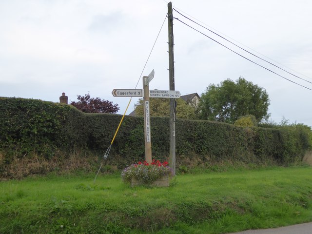
Eggesford

Eggesford () is a parish in mid-Devon, without its own substantial village. It is served by Eggesford railway station on the Exeter to Barnstaple railway...

Brushford, Devon

Brushford is a village and civil parish in the Mid Devon district of Devon in England. According to the 2001 census it had a population of 59. The village...

Eggesford railway station

Eggesford railway station is a rural station in Devon, England, serving Eggesford, the town of Chulmleigh and surrounding villages. Despite its name, the...

Coldridge

Coldridge or Coleridge is a village and parish in Devon, England. It appears in the Domesday Book of 1086 as Colrige, which is thought to mean ‘the ridge...

Tarka Line

The Tarka Line, also known as the North Devon Line, is a local railway line in Devon, England, linking the city of Exeter with the town of Barnstaple via...

Nymet Rowland

Nymet Rowland is a small village, and civil parish of the same name, in central Devon, England, north of Dartmoor. It takes part of its name from "Nymet...

Rashleigh, Wembworthy

Rashleigh is an historic former manor in the parish of Wembworthy, Devon. Rashleigh Barton, the former manor house, is a grade II* listed building, situated...

Nearby Amenities

Located within 500m of 50.868601,-3.8784255
Power: pole
Lat/Long: 50.8702841/-3.8810277
Power: pole
Lat/Long: 50.869514/-3.8820308
Power: pole
Lat/Long: 50.8688369/-3.8829938
Power: pole
Lat/Long: 50.8681344/-3.8839996
Power: pole
Lat/Long: 50.8674217/-3.8843188
Power: pole
Lat/Long: 50.8671966/-3.8843912
The data included in this document is from www.openstreetmap.org. The data is made available under ODbL.

Have you been to Barlinch Plantation?

Leave your review of Barlinch Plantation below (or comments, questions and feedback).