Twenty Acre Wood

Wood, Forest in Devon North Devon

England

Twenty Acre Wood

King’s Nympton: towards Sampson Barton
King’s Nympton: towards Sampson Barton Credit: Martin Bodman

The requested URL returned error: 429 Too Many Requests

If you have any feedback on the listing, please let us know in the comments section below.

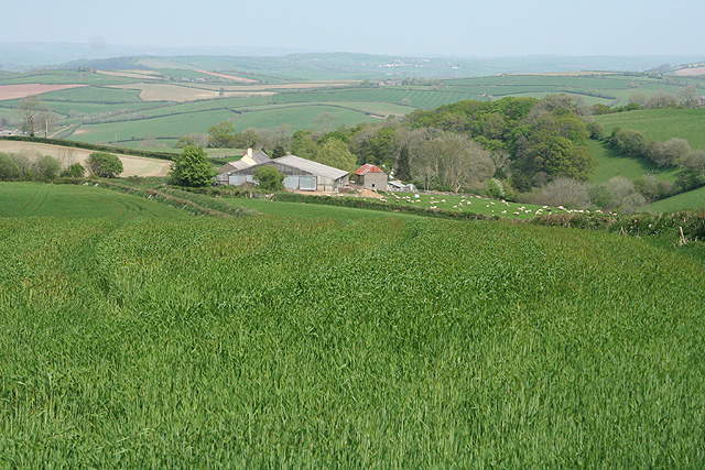
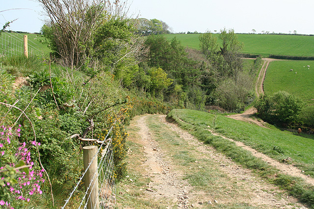
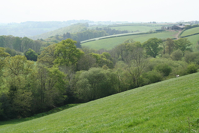
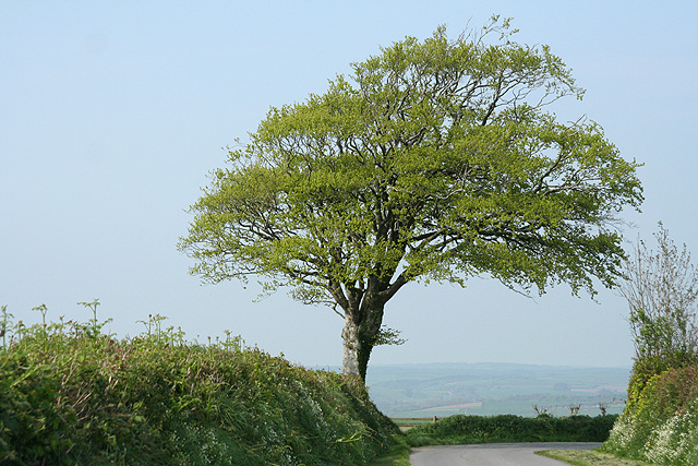
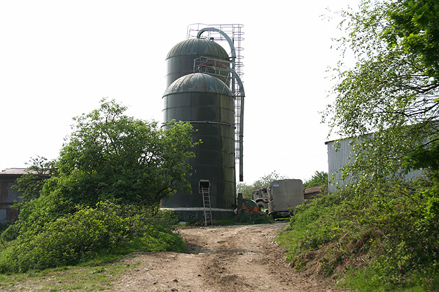
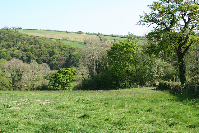
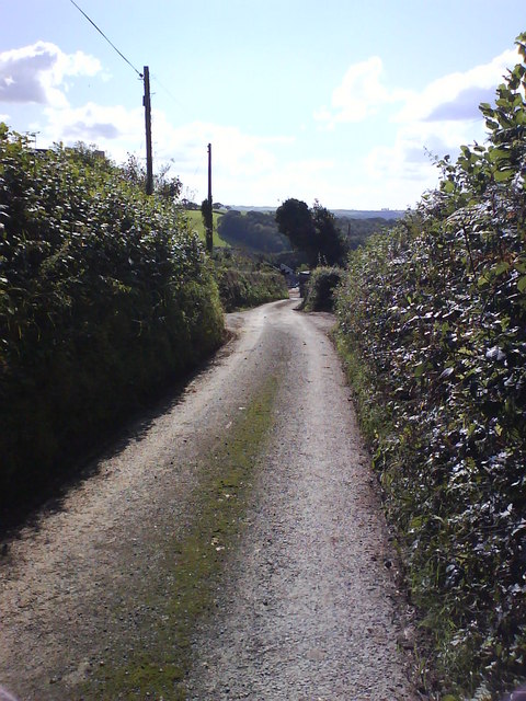
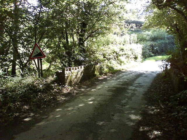
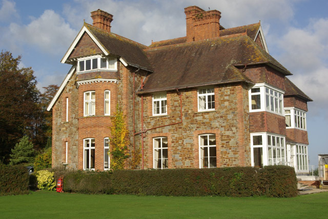
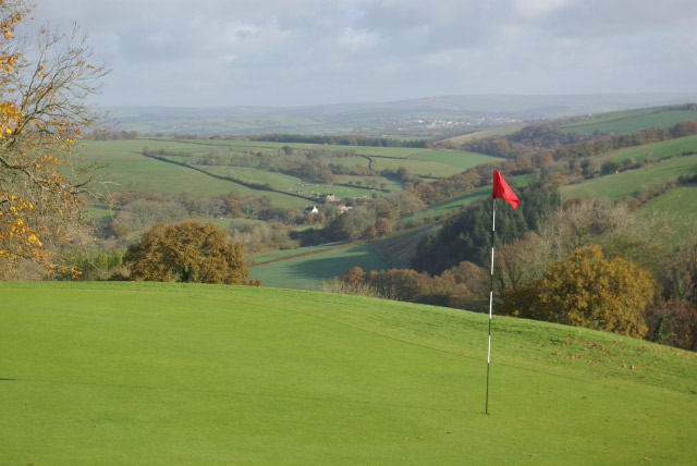
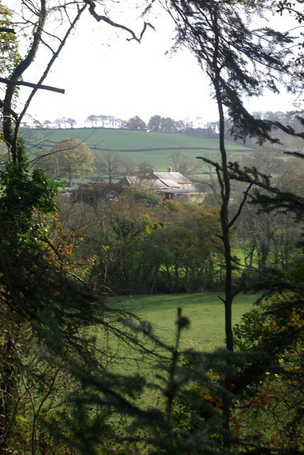
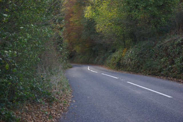
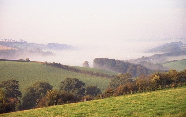
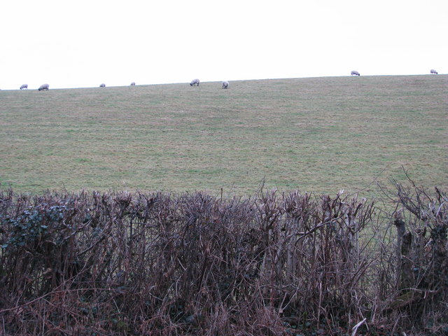
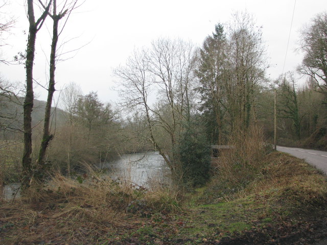
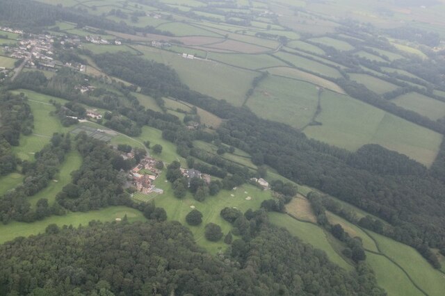
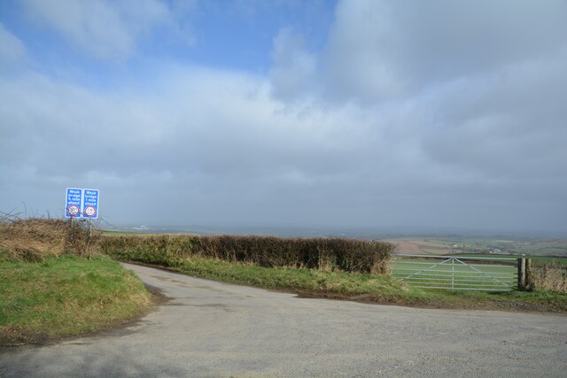
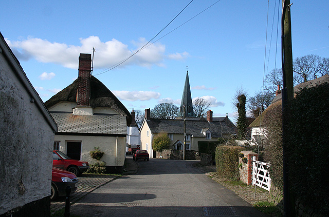
Twenty Acre Wood Images

Images are sourced within 2km of 50.966686/-3.8910254 or Grid Reference SS6720. Thanks to Geograph Open Source API. All images are credited.

King’s Nympton: towards Sampson Barton
King’s Nympton: between Down Farm and South Aish Looking south-south-east on a track which is also a public footpath
King’s Nympton: between Down Farm and South Aish
Looking south-south-east on a track which is also a public footpath
King’s Nympton: towards Captain’s Brake A steep-sided valley with barns at Sletchcott up on the hill, right. Seen from a public footpath
King’s Nympton: towards Captain’s Brake
A steep-sided valley with barns at Sletchcott up on the hill, right. Seen from a public footpath
King’s Nympton: tree by Sampson’s Moor Looking north-north-west
King’s Nympton: tree by Sampson’s Moor
Looking north-north-west
King’s Nympton: silos at Huxford Looking west-north-west
King’s Nympton: silos at Huxford
Looking west-north-west
Satterleigh and Warkleigh: above the Mole valley Looking south-south-east
Satterleigh and Warkleigh: above the Mole valley
Looking south-south-east
Moss Down The Middle! Lane between Sletchcott and Hele
Moss Down The Middle!
Lane between Sletchcott and Hele
Steep Ascent Ahead Small stone bridge with castellations crosses Hele Water
Steep Ascent Ahead
Small stone bridge with castellations crosses Hele Water
Highbullen Victorian house, built in the 1870s, now a hotel. Most of the rooms, however, are in annexes in the grounds, together with extensive leisure facilities including an 18-hole golf course.
Highbullen
Victorian house, built in the 1870s, now a hotel. Most of the rooms, however, are in annexes in the grounds, together with extensive leisure facilities including an 18-hole golf course.
Highbullen Golf Course The Highbullen Estate, now a hotel and country club, sits at the top of the ridge between the Taw and Mole valleys. This golf green, close to the house and part of the hotel's 18-hole course, has a spectacular view eastwards across the Mole Valley.
Highbullen Golf Course
The Highbullen Estate, now a hotel and country club, sits at the top of the ridge between the Taw and Mole valleys. This golf green, close to the house and part of the hotel's 18-hole course, has a spectacular view eastwards across the Mole Valley.
Highbullen Golf Course A carpet of fallen leaves covers Highbullen's golf course, except the greens and fairways which are kept immaculately clear. The Mole Valley lies beyond.
Highbullen Golf Course
A carpet of fallen leaves covers Highbullen's golf course, except the greens and fairways which are kept immaculately clear. The Mole Valley lies beyond.
View towards Lenton A gap in the trees on the B3226 gives this glimpse of Lenton Farm across the River Mole.
View towards Lenton
A gap in the trees on the B3226 gives this glimpse of Lenton Farm across the River Mole.
B3226 near Lenton The B3226 South Molton - Fortescue Cross road follows a wooded course through the Mole Valley. The land rises sharply to the right on the Highbullen Estate and drops sharply to the river on the left.
B3226 near Lenton
The B3226 South Molton - Fortescue Cross road follows a wooded course through the Mole Valley. The land rises sharply to the right on the Highbullen Estate and drops sharply to the river on the left.
Looking towards Kingsnympton
Sheep on the hillside above the B3226
The River Mole close to the B3226
Highbullen Hotel: aerial 2021
Satterleigh : Sampson Cross Looking along a small lane at the road junction.
Satterleigh : Sampson Cross
Looking along a small lane at the road junction.
Show me another place!

Twenty Acre Wood is located at Grid Ref: SS6720 (Lat: 50.966686, Lng: -3.8910254)

Administrative County: Devon

District: North Devon

Police Authority: Devon and Cornwall

What 3 Words

///exact.splat.prospered. Near Chulmleigh, Devon

Related Wikis

King's Nympton

King's Nympton (Latinised to Nymet Regis) is a village, parish and former manor in the North Devon district, in Devon, England, in the heart of the rolling...

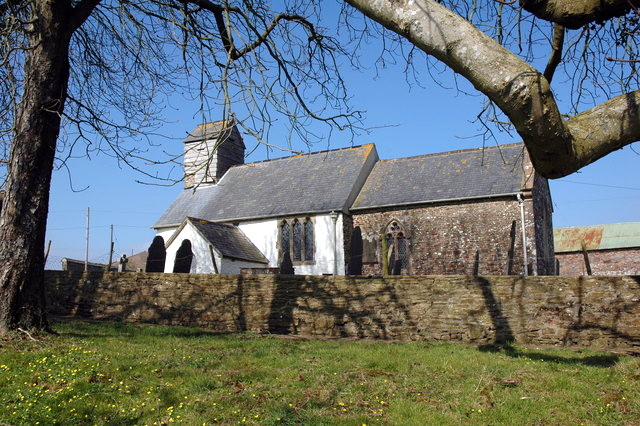
St Peter's Church, Satterleigh

St Peter's Church in Satterleigh, Devon, England was built in the 15th century. It is recorded in the National Heritage List for England as a designated...

Chittlehamholt

Chittlehamholt is a village and civil parish in North Devon district, Devon, England. In the 2011 census it was recorded as having a population of 169...

Satterleigh and Warkleigh

Satterleigh and Warkleigh is a civil parish in North Devon district, Devon, England. In the 2011 census it was recorded as having a population of 170....

Nearby Amenities

Located within 500m of 50.966686,-3.8910254
Power: pole
Source: bing
Transformer: distribution
Lat/Long: 50.9691826/-3.8875153
Power: pole
Source: bing
Lat/Long: 50.9701058/-3.8877468
The data included in this document is from www.openstreetmap.org. The data is made available under ODbL.

Have you been to Twenty Acre Wood?

Leave your review of Twenty Acre Wood below (or comments, questions and feedback).