Ball Wood
Wood, Forest in Devon North Devon
England
Ball Wood

Ball Wood is a small forest located in Devon, England. It is situated near the town of Wood, and covers an area of approximately 100 acres. The forest is primarily composed of deciduous trees, including oak, beech, and ash, which create a diverse and rich ecosystem.
One of the notable features of Ball Wood is its well-maintained network of walking trails, which allow visitors to explore the forest and admire its natural beauty. These trails meander through the dense vegetation, providing glimpses of wildlife such as squirrels, deer, and a variety of bird species. The peaceful atmosphere and tranquil surroundings make it a popular destination for nature enthusiasts and hikers.
In addition to its recreational value, Ball Wood also serves an important ecological role. The forest acts as a habitat for a range of plant and animal species, contributing to the overall biodiversity of the region. It also helps to maintain a healthy ecosystem by filtering air, reducing noise pollution, and preventing soil erosion.
The management of Ball Wood is overseen by the local authorities, who ensure its preservation and protection. This includes regular maintenance of the trails, monitoring of wildlife populations, and implementing sustainable practices to maintain the health of the forest.
Overall, Ball Wood in Devon is a charming and well-preserved forest, offering a peaceful retreat for those seeking a connection with nature. Its scenic beauty, diverse flora and fauna, and well-maintained trails make it an ideal destination for both locals and tourists alike.
If you have any feedback on the listing, please let us know in the comments section below.
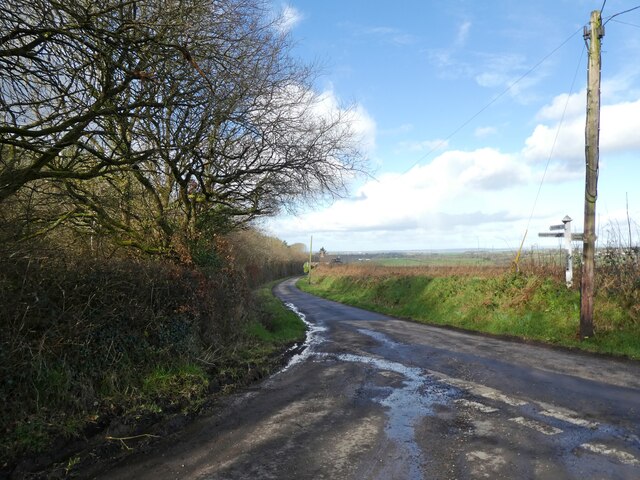
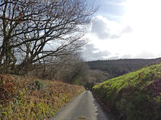
Ball Wood Images
Images are sourced within 2km of 50.928645/-3.902019 or Grid Reference SS6616. Thanks to Geograph Open Source API. All images are credited.


Ball Wood is located at Grid Ref: SS6616 (Lat: 50.928645, Lng: -3.902019)
Administrative County: Devon
District: North Devon
Police Authority: Devon and Cornwall
What 3 Words
///spring.builds.relations. Near Chulmleigh, Devon
Nearby Locations
Related Wikis

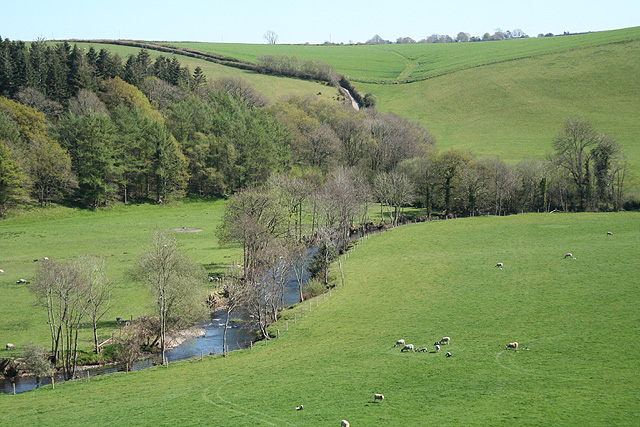
Little Dart River
The Little Dart River is a tributary of the River Taw in Devon, England. It joins the Taw a mile west of Chulmleigh. The Little Dart rises near Rackenford...
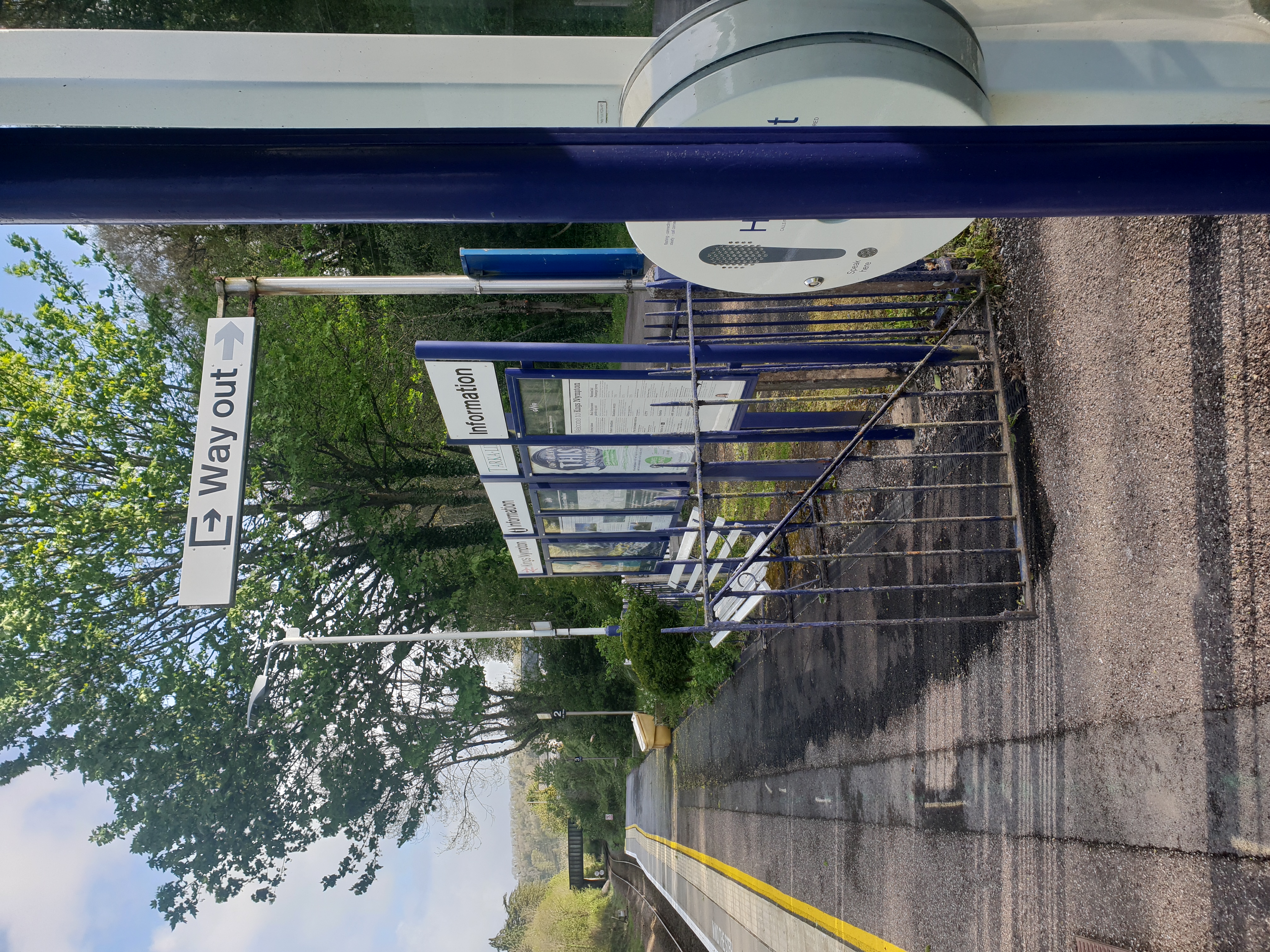
Kings Nympton railway station
Kings Nympton railway station, also spelt King's Nympton, is a halt on the Tarka Line in North Devon, serving the civil parishes of Chulmleigh, Burrington...
River Mole, Devon
The River Mole a tributary of the River Taw in Devon which rises on the southwestern border of Exmoor. The river takes its name from the market towns of...

Colleton, Chulmleigh
Colleton is a hamlet and former manor in the civil parish and ecclesiastical parish of Chulmleigh, in the North Devon district of Devon, England. It is...
Nearby Amenities
Located within 500m of 50.928645,-3.902019Have you been to Ball Wood?
Leave your review of Ball Wood below (or comments, questions and feedback).