Churchland Wood
Wood, Forest in Devon North Devon
England
Churchland Wood

The requested URL returned error: 429 Too Many Requests
If you have any feedback on the listing, please let us know in the comments section below.
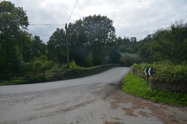
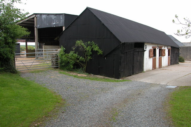
Churchland Wood Images
Images are sourced within 2km of 50.934738/-3.9100101 or Grid Reference SS6516. Thanks to Geograph Open Source API. All images are credited.


Churchland Wood is located at Grid Ref: SS6516 (Lat: 50.934738, Lng: -3.9100101)
Administrative County: Devon
District: North Devon
Police Authority: Devon and Cornwall
What 3 Words
///filled.orchestra.monorail. Near Chulmleigh, Devon
Nearby Locations
Related Wikis
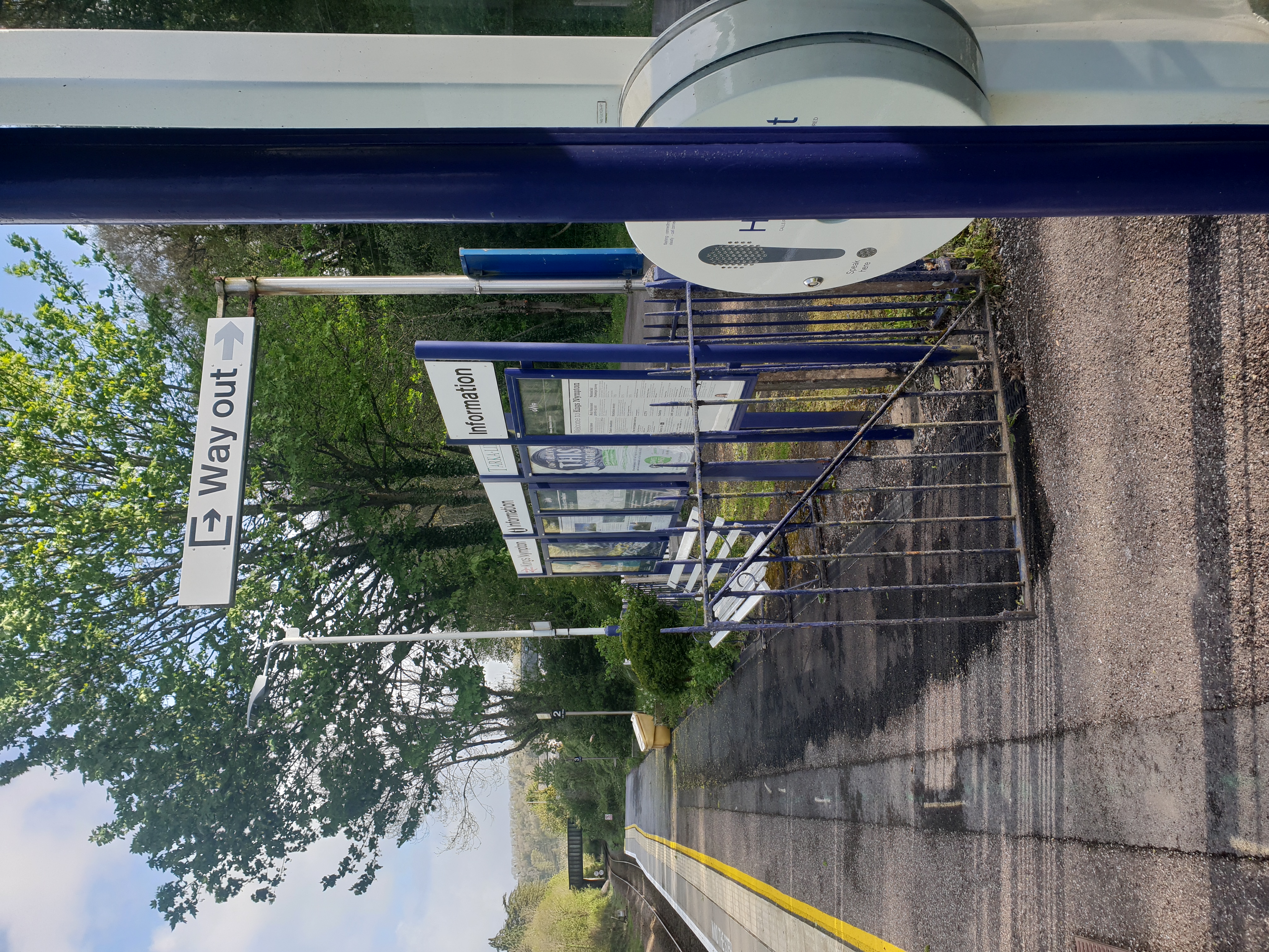
Kings Nympton railway station
Kings Nympton railway station, also spelt King's Nympton, is a halt on the Tarka Line in North Devon, serving the civil parishes of Chulmleigh, Burrington...

Little Dart River
The Little Dart River is a tributary of the River Taw in Devon, England. It joins the Taw a mile west of Chulmleigh. The Little Dart rises near Rackenford...
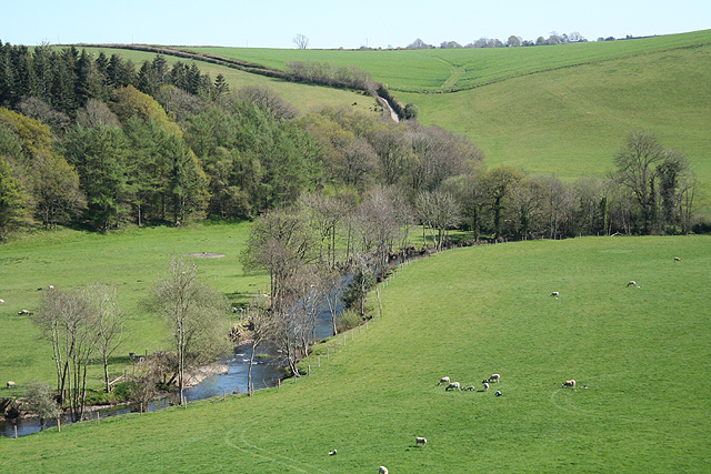
River Mole, Devon
The River Mole a tributary of the River Taw in Devon which rises on the southwestern border of Exmoor. The river takes its name from the market towns of...

Burrington, Devon
Burrington is a village and civil parish in North Devon in England. In 2001 the population was 538.The village has a church, a Methodist chapel, a pub...
Nearby Amenities
Located within 500m of 50.934738,-3.9100101Have you been to Churchland Wood?
Leave your review of Churchland Wood below (or comments, questions and feedback).