Arshaton Wood

Wood, Forest in Devon North Devon

England

Arshaton Wood

Roadside war memorial near Warkleigh Dedicated to the men of Warkleigh that fell in the great war. Memorial nestles in the road fork.
Roadside war memorial near Warkleigh Credit: Ivan Taylor

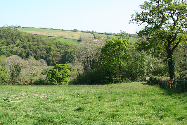
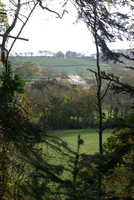
Arshaton Wood is a charming woodland located in Devon, England. Spread across a vast area, it is a haven for nature enthusiasts and offers a tranquil escape from the bustle of urban life. The wood is primarily composed of deciduous trees, including oak, beech, and ash, which create a beautiful canopy overhead, providing shade and shelter for the various wildlife that call this place home.

Walking through Arshaton Wood, visitors are greeted by a diverse range of flora and fauna. Bluebells carpet the forest floor in the spring, creating a magnificent display of vibrant colors. The wood is also home to a variety of bird species, including woodpeckers, owls, and songbirds, making it a popular spot for birdwatching.

For those interested in history, Arshaton Wood holds cultural significance as well. It is believed that the wood has been in existence for centuries, with evidence of human activity dating back to the Iron Age. Remnants of ancient settlements, such as ditches and mounds, can still be found within the wood, adding an extra layer of intrigue to the area.

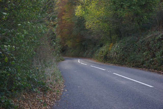
Arshaton Wood offers a range of activities for visitors to enjoy. There are numerous trails and paths that wind through the forest, allowing for leisurely walks or more challenging hikes. Picnic areas are also available, providing an ideal spot to relax and enjoy the peaceful surroundings.

In conclusion, Arshaton Wood is a picturesque woodland in Devon, offering a blend of natural beauty, wildlife, and historical significance. Whether visitors are seeking tranquility, outdoor activities, or a glimpse into the past, this wood has something to offer everyone.

If you have any feedback on the listing, please let us know in the comments section below.

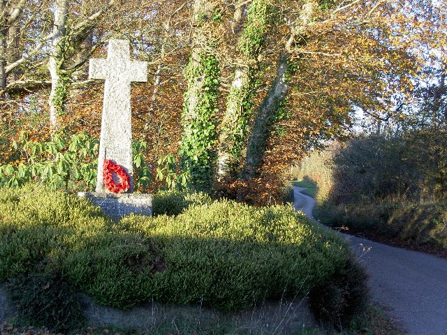
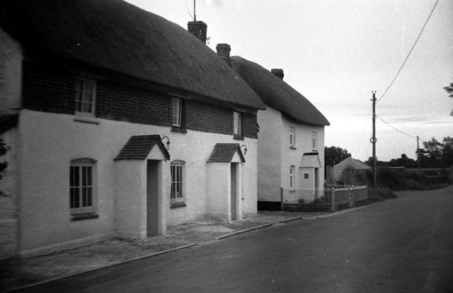
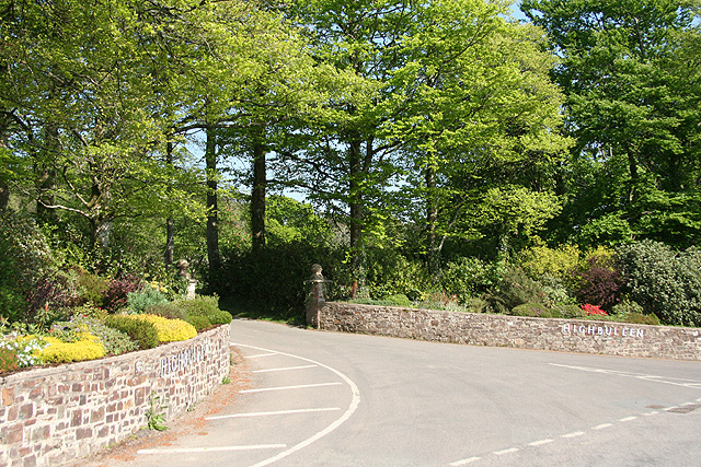
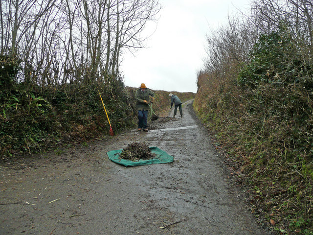
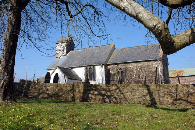
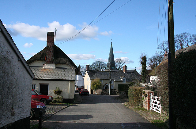
Arshaton Wood Images

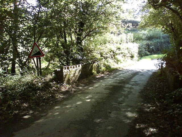
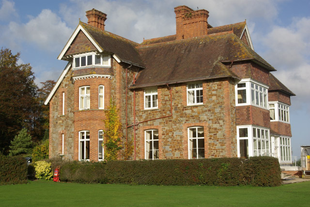
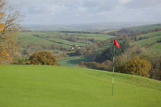
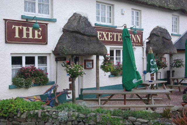
Images are sourced within 2km of 50.971743/-3.9156874 or Grid Reference SS6520. Thanks to Geograph Open Source API. All images are credited.

Roadside war memorial near Warkleigh Dedicated to the men of Warkleigh that fell in the great war. Memorial nestles in the road fork.
Roadside war memorial near Warkleigh
Dedicated to the men of Warkleigh that fell in the great war. Memorial nestles in the road fork.
Village Stores, Chittlehamholt A charming cottage in a charming North Devon village. In the early 1960s, the village store was run by my aunt and uncle.
Village Stores, Chittlehamholt
A charming cottage in a charming North Devon village. In the early 1960s, the village store was run by my aunt and uncle.
Chittlehamholt: Highbullen entrance Highbullen is a country house hotel, with golf and country clubs. Looking east-south-east
Chittlehamholt: Highbullen entrance
Highbullen is a country house hotel, with golf and country clubs. Looking east-south-east
Satterleigh and Warkleigh: Haynetown Farm Entrance to farm, looking west
Satterleigh and Warkleigh: Haynetown Farm
Entrance to farm, looking west
Satterleigh and Warkleigh: above the Mole valley Looking south-south-east
Satterleigh and Warkleigh: above the Mole valley
Looking south-south-east
Steep Ascent Ahead Small stone bridge with castellations crosses Hele Water
Steep Ascent Ahead
Small stone bridge with castellations crosses Hele Water
Highbullen Victorian house, built in the 1870s, now a hotel. Most of the rooms, however, are in annexes in the grounds, together with extensive leisure facilities including an 18-hole golf course.
Highbullen
Victorian house, built in the 1870s, now a hotel. Most of the rooms, however, are in annexes in the grounds, together with extensive leisure facilities including an 18-hole golf course.
Highbullen Golf Course The Highbullen Estate, now a hotel and country club, sits at the top of the ridge between the Taw and Mole valleys. This golf green, close to the house and part of the hotel's 18-hole course, has a spectacular view eastwards across the Mole Valley.
Highbullen Golf Course
The Highbullen Estate, now a hotel and country club, sits at the top of the ridge between the Taw and Mole valleys. This golf green, close to the house and part of the hotel's 18-hole course, has a spectacular view eastwards across the Mole Valley.
Highbullen Golf Course A carpet of fallen leaves covers Highbullen's golf course, except the greens and fairways which are kept immaculately clear. The Mole Valley lies beyond.
Highbullen Golf Course
A carpet of fallen leaves covers Highbullen's golf course, except the greens and fairways which are kept immaculately clear. The Mole Valley lies beyond.
Chittlehamholt Looking along the lane towards Chittlehampton. The house on the left is The Old Gate House.
Chittlehamholt
Looking along the lane towards Chittlehampton. The house on the left is The Old Gate House.
The Exeter Inn, Chittlehamholt A classic thatched village pub, dating back to the 16th century. In the days when the road through Chittlehamholt was part of the main route between Exeter and Barnstaple, this was a coaching inn.
The Exeter Inn, Chittlehamholt
A classic thatched village pub, dating back to the 16th century. In the days when the road through Chittlehamholt was part of the main route between Exeter and Barnstaple, this was a coaching inn.
The Exeter Inn, Chittlehamholt The inn sign recalls the days when this was a coaching inn on the Exeter - Barnstaple road. Chittlehamholt is a sleepy place nowadays, but the village pub is still at the centre of the community - even providing a public notice board.
The Exeter Inn, Chittlehamholt
The inn sign recalls the days when this was a coaching inn on the Exeter - Barnstaple road. Chittlehamholt is a sleepy place nowadays, but the village pub is still at the centre of the community - even providing a public notice board.
Chittlehamholt Church Dedicated to St John the Baptist, this church is in a rather lonely location some distance from the village.
Chittlehamholt Church
Dedicated to St John the Baptist, this church is in a rather lonely location some distance from the village.
View towards Lenton A gap in the trees on the B3226 gives this glimpse of Lenton Farm across the River Mole.
View towards Lenton
A gap in the trees on the B3226 gives this glimpse of Lenton Farm across the River Mole.
B3226 near Lenton The B3226 South Molton - Fortescue Cross road follows a wooded course through the Mole Valley. The land rises sharply to the right on the Highbullen Estate and drops sharply to the river on the left.
B3226 near Lenton
The B3226 South Molton - Fortescue Cross road follows a wooded course through the Mole Valley. The land rises sharply to the right on the Highbullen Estate and drops sharply to the river on the left.
Clearing the storm drain Local residents are keeping the drain free of hedge trimming debris. near Spycott.
Clearing the storm drain
Local residents are keeping the drain free of hedge trimming debris. near Spycott.
Cockrams Butt Cross A war memorial in keeping with tradition for siting crosses at remote road junctions.
Cockrams Butt Cross
A war memorial in keeping with tradition for siting crosses at remote road junctions.
Beeches near Haynetown View north from the Chittlehampton road.
Beeches near Haynetown
View north from the Chittlehampton road.
Show me another place!

Arshaton Wood is located at Grid Ref: SS6520 (Lat: 50.971743, Lng: -3.9156874)

Administrative County: Devon

District: North Devon

Police Authority: Devon and Cornwall

What 3 Words

///safe.shine.nerves. Near Chulmleigh, Devon

Related Wikis

Chittlehamholt

Chittlehamholt is a village and civil parish in North Devon district, Devon, England. In the 2011 census it was recorded as having a population of 169...

Satterleigh and Warkleigh

Satterleigh and Warkleigh is a civil parish in North Devon district, Devon, England. In the 2011 census it was recorded as having a population of 170....

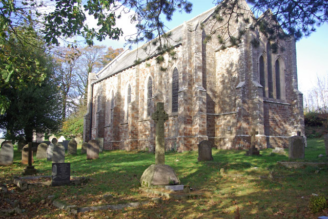
St Peter's Church, Satterleigh

St Peter's Church in Satterleigh, Devon, England was built in the 15th century. It is recorded in the National Heritage List for England as a designated...

King's Nympton

King's Nympton (Latinised to Nymet Regis) is a village, parish and former manor in the North Devon district, in Devon, England, in the heart of the rolling...

Nearby Amenities

Located within 500m of 50.971743,-3.9156874
Power: pole
Source: bing
Lat/Long: 50.9684764/-3.9163443
Power: pole
Source: bing
Lat/Long: 50.9684392/-3.9175835
Power: pole
Source: bing
Lat/Long: 50.968772/-3.9132142
Power: pole
Source: bing
Lat/Long: 50.9688868/-3.9119214
Power: pole
Source: bing
Lat/Long: 50.9690034/-3.9107627
The data included in this document is from www.openstreetmap.org. The data is made available under ODbL.

Have you been to Arshaton Wood?

Leave your review of Arshaton Wood below (or comments, questions and feedback).