Northclose Copse
Wood, Forest in Devon Torridge
England
Northclose Copse
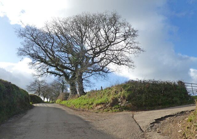
Northclose Copse is a charming woodland located in the county of Devon, England. Covering an area of approximately 50 acres, it is nestled within the picturesque countryside, offering visitors a tranquil and serene escape from the hustle and bustle of city life.
The copse is predominantly composed of deciduous trees, with a diverse range of species including oak, beech, ash, and birch. The lush vegetation creates a dense canopy that filters sunlight, resulting in a cool and shaded environment. It is home to a rich variety of flora and fauna, with bluebells, primroses, and wild garlic carpeting the forest floor during the spring months.
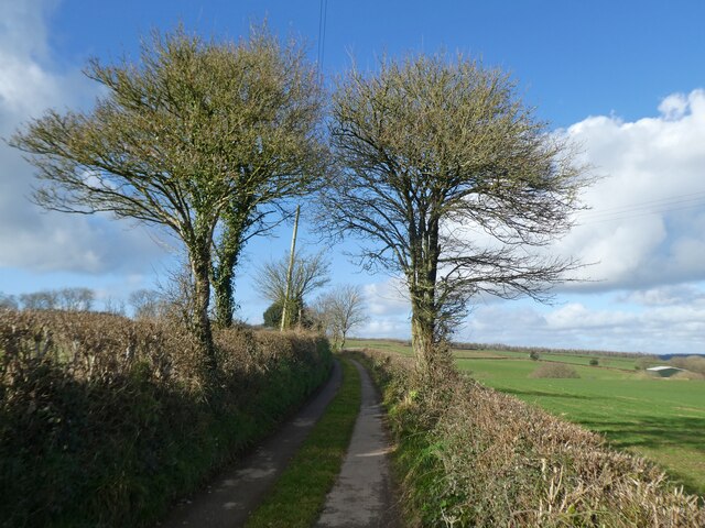
Walking through Northclose Copse, visitors are greeted by a network of well-maintained trails that wind their way through the woodland. These paths offer stunning views of the surrounding countryside, with occasional glimpses of wildlife such as deer, squirrels, and a plethora of bird species.
The copse is a popular destination for nature enthusiasts, hikers, and birdwatchers. It provides an excellent opportunity for outdoor activities such as picnicking, photography, and nature study. The peaceful atmosphere and natural beauty make it an ideal spot for relaxation and contemplation.
Northclose Copse is also part of a larger network of woodlands and nature reserves in the area. It is managed by the local conservation authority, ensuring the preservation and protection of the natural habitat for future generations to enjoy.
Overall, Northclose Copse offers a delightful and enchanting experience for those seeking a connection with nature in the heart of Devon.
If you have any feedback on the listing, please let us know in the comments section below.
Northclose Copse Images
Images are sourced within 2km of 50.923186/-3.9179888 or Grid Reference SS6515. Thanks to Geograph Open Source API. All images are credited.


Northclose Copse is located at Grid Ref: SS6515 (Lat: 50.923186, Lng: -3.9179888)
Administrative County: Devon
District: Torridge
Police Authority: Devon and Cornwall
What 3 Words
///unclaimed.sleepers.fearfully. Near Chulmleigh, Devon
Nearby Locations
Related Wikis
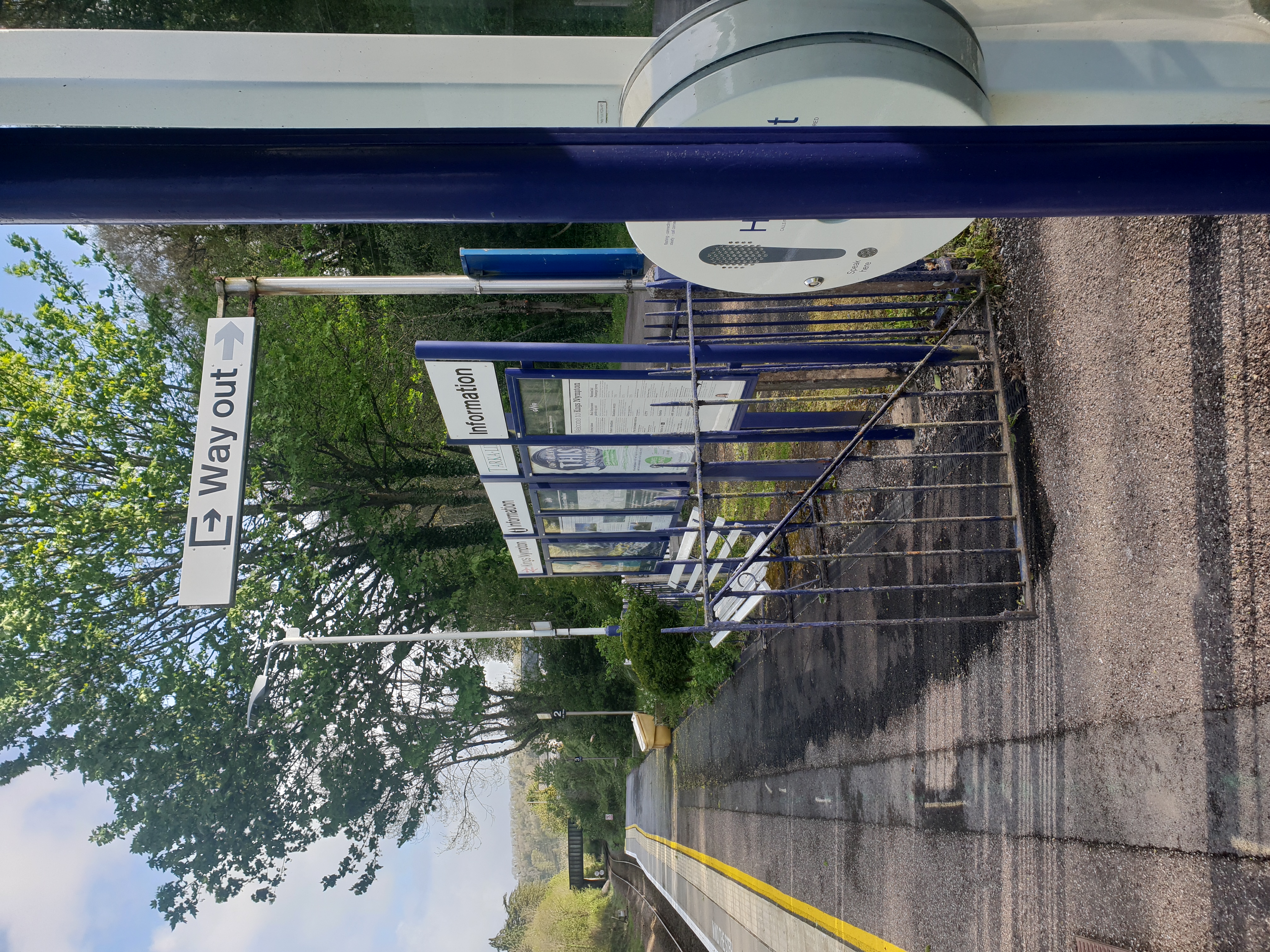
Kings Nympton railway station
Kings Nympton railway station, also spelt King's Nympton, is a halt on the Tarka Line in North Devon, serving the civil parishes of Chulmleigh, Burrington...

Little Dart River
The Little Dart River is a tributary of the River Taw in Devon, England. It joins the Taw a mile west of Chulmleigh. The Little Dart rises near Rackenford...

Colleton, Chulmleigh
Colleton is a hamlet and former manor in the civil parish and ecclesiastical parish of Chulmleigh, in the North Devon district of Devon, England. It is...

Burrington, Devon
Burrington is a village and civil parish in North Devon in England. In 2001 the population was 538.The village has a church, a Methodist chapel, a pub...
Nearby Amenities
Located within 500m of 50.923186,-3.9179888Have you been to Northclose Copse?
Leave your review of Northclose Copse below (or comments, questions and feedback).