America Woods
Wood, Forest in Devon West Devon
England
America Woods

America Woods, also known as Devon Woods or simply the Wood, is a vast forest located in the county of Devon, England. Covering an area of approximately 1,000 acres, it is one of the largest remaining ancient woodlands in the region. The forest is situated in the heart of the Dartmoor National Park, a designated area of outstanding natural beauty.
America Woods boasts a diverse range of flora and fauna, making it a haven for wildlife enthusiasts and nature lovers. The forest is predominantly composed of native broadleaf trees such as oak, beech, and birch, which create a dense and lush canopy. The forest floor is covered in a rich carpet of woodland plants, including bluebells, primroses, and wild garlic, which bloom in vibrant colors during the spring months.
The woodland is crisscrossed with a network of footpaths and trails, allowing visitors to explore its beauty on foot or by bike. One of the most popular routes is the America Trail, a circular path that winds through the forest, offering stunning views of the surrounding countryside. The forest is also home to a variety of wildlife, including deer, foxes, badgers, and a wide array of bird species.
America Woods provides a tranquil and peaceful escape from the hustle and bustle of urban life. Its natural beauty and serene atmosphere make it a perfect destination for outdoor activities such as picnicking, birdwatching, and photography. The forest is managed by local authorities, who ensure its protection and preservation for future generations to enjoy.
If you have any feedback on the listing, please let us know in the comments section below.
America Woods Images
Images are sourced within 2km of 50.742678/-3.9130112 or Grid Reference SX6595. Thanks to Geograph Open Source API. All images are credited.


America Woods is located at Grid Ref: SX6595 (Lat: 50.742678, Lng: -3.9130112)
Administrative County: Devon
District: West Devon
Police Authority: Devon and Cornwall
What 3 Words
///roving.bumping.elections. Near Okehampton, Devon
Nearby Locations
Related Wikis

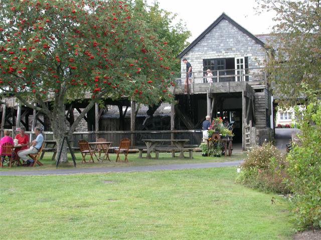
Finch Foundry
Finch Foundry is a 19th-century water-powered forge situated in the village of Sticklepath near Okehampton, Devon, England. It was originally used to produce...
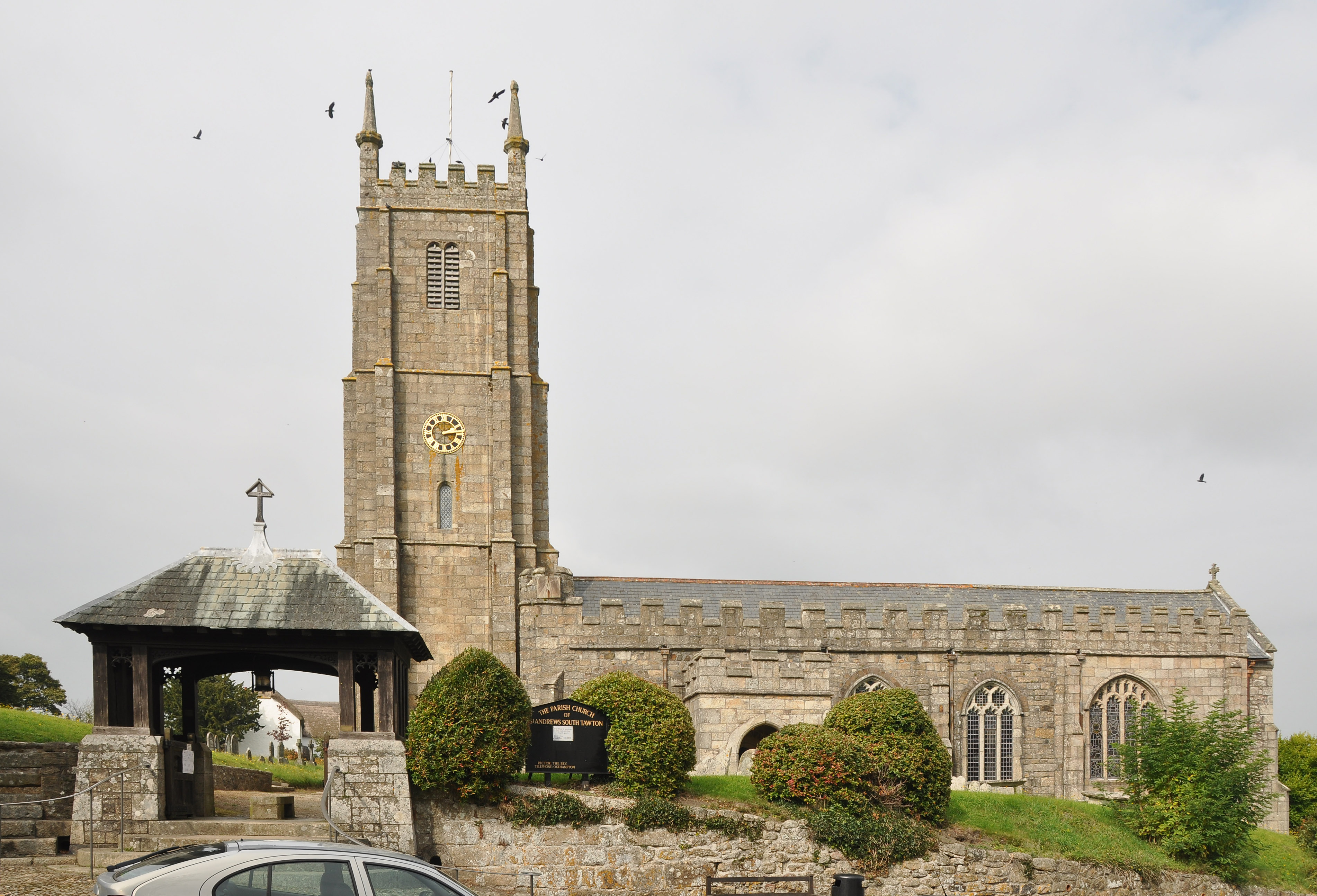
South Tawton
South Tawton is a village, parish and former manor on the north edge of Dartmoor, Devon, England. An electoral ward bearing the same name exists. At the...
Sticklepath
Sticklepath is a village and civil parish on Dartmoor, in the county of Devon, England. It gives its name to one of the most important geological faults...

South Zeal
South Zeal is a village on Dartmoor, in Devon, United Kingdom. It has a Church of England chapel and a Methodist chapel. The church is situated in the...
Nearby Amenities
Located within 500m of 50.742678,-3.9130112Have you been to America Woods?
Leave your review of America Woods below (or comments, questions and feedback).