Chipping Norton
Settlement in Oxfordshire West Oxfordshire
England
Chipping Norton

Chipping Norton is a charming market town located in the beautiful Oxfordshire countryside in England. Situated approximately 18 miles northwest of Oxford, it has a population of around 6,337 people. The town is situated on a hilltop, providing stunning panoramic views of the surrounding rolling hills and picturesque landscapes.
Chipping Norton has a rich history that dates back to the 13th century when it was an important wool-trading center. Today, the town retains its traditional market town character with its historic buildings, quaint streets, and vibrant local market. The town center is filled with a variety of independent shops, boutiques, cafes, and restaurants, offering a unique and diverse shopping and dining experience.
One of the notable landmarks in Chipping Norton is the Bliss Tweed Mill, which was established in the 19th century and produced high-quality tweed fabrics. The mill has now been converted into luxury apartments, preserving its industrial heritage.
The town also boasts a thriving arts and cultural scene, with the Chipping Norton Theatre being a focal point for live performances, including plays, comedy shows, and music events. The annual Chipping Norton Literary Festival attracts renowned authors and literary enthusiasts from around the country.
For outdoor enthusiasts, Chipping Norton offers ample opportunities for exploring the surrounding countryside, with numerous walking and cycling trails. Nearby attractions include the enchanting Blenheim Palace, the birthplace of Sir Winston Churchill, and the Cotswolds Area of Outstanding Natural Beauty, which is known for its idyllic villages and rolling hills.
If you have any feedback on the listing, please let us know in the comments section below.
Chipping Norton Images
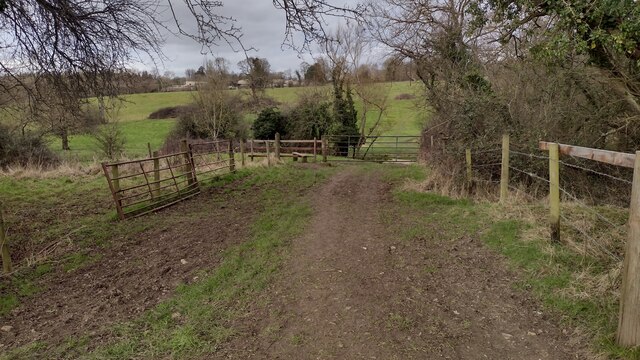
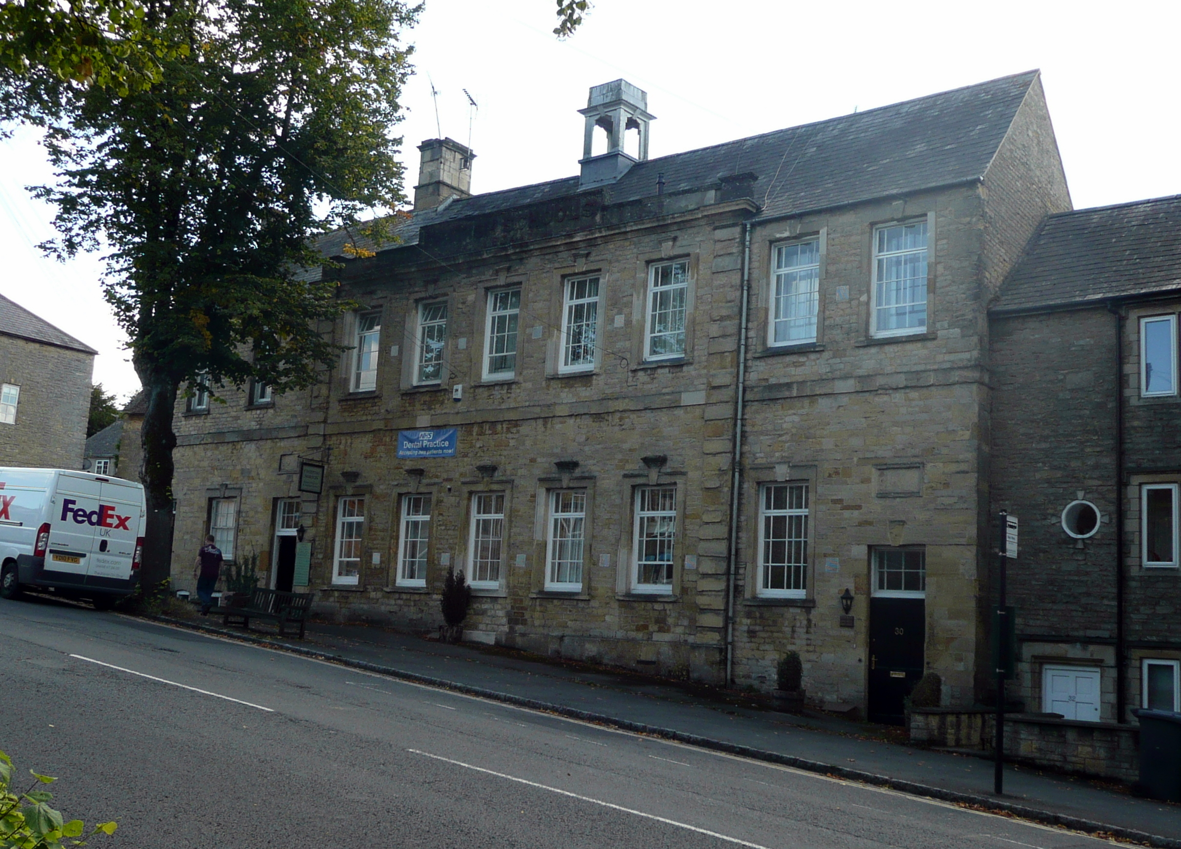
Images are sourced within 2km of 51.941242/-1.545842 or Grid Reference SP3127. Thanks to Geograph Open Source API. All images are credited.


Chipping Norton is located at Grid Ref: SP3127 (Lat: 51.941242, Lng: -1.545842)
Administrative County: Oxfordshire
District: West Oxfordshire
Police Authority: Thames Valley
What 3 Words
///spending.yarn.crunching. Near Chipping Norton, Oxfordshire
Nearby Locations
Related Wikis
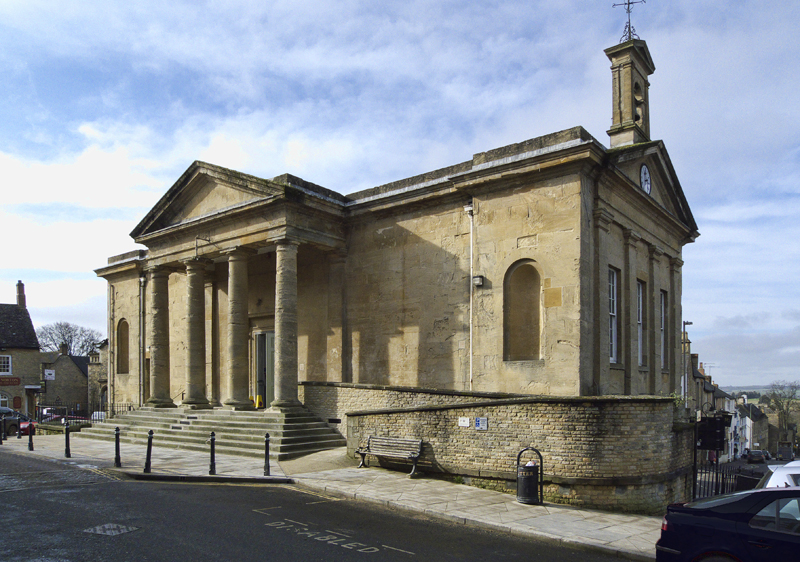
Chipping Norton Town Hall
Chipping Norton Town Hall is a municipal building in the Market Place, Chipping Norton, Oxfordshire, England. The building, which is used as an events...

Chipping Norton Museum
Chipping Norton Museum (aka Chipping Norton Museum of Local History) is an independent local museum located on the High Street in the town of Chipping...
Chipping Norton Recording Studios
Chipping Norton Recording Studios was a residential recording studio in Chipping Norton, Oxfordshire, England, which operated from 1971 until October...
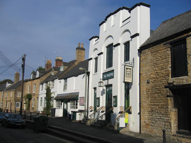
The Theatre Chipping Norton
The Theatre Chipping Norton, sometimes The Theatre, Chipping Norton, is a multi-arts theatre, cinema, gallery and music venue in Chipping Norton, Oxfordshire...
Nearby Amenities
Located within 500m of 51.941242,-1.545842Have you been to Chipping Norton?
Leave your review of Chipping Norton below (or comments, questions and feedback).