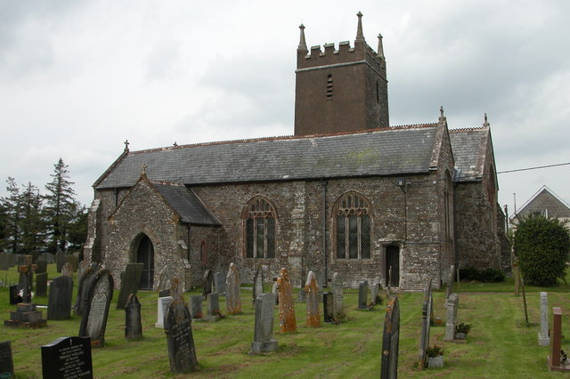
Balls Copse
Wood, Forest in Devon North Devon
England
Balls Copse
Balls Copse is a charming woodland located in the county of Devon, England. Situated near the village of Newton St Cyres, this forested area covers approximately 20 hectares of land. It is a popular destination for nature enthusiasts, hikers, and those seeking tranquility amidst nature's beauty.
The copse is predominantly composed of native broadleaf trees, including oak, beech, and ash. These majestic trees create a dense canopy, providing shade and shelter for a diverse range of flora and fauna. Bluebells, wild garlic, and ferns carpet the forest floor, adding to the enchanting atmosphere of the woodland.
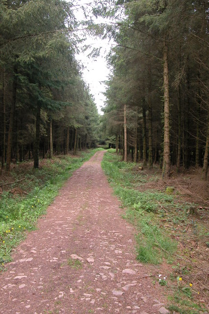
Balls Copse is crisscrossed with a network of well-maintained footpaths and trails, allowing visitors to explore the area easily. These paths meander through the forest, leading to picturesque clearings, babbling brooks, and hidden ponds. The copse offers a peaceful retreat, away from the hustle and bustle of daily life.
The woodland is also home to a variety of wildlife. Birdwatchers can spot species such as woodpeckers, tawny owls, and buzzards, among others. Small mammals like badgers, foxes, and squirrels can be seen scurrying through the undergrowth, while insects and butterflies flit about.
Balls Copse is a cherished natural gem in Devon, providing a haven for both flora and fauna alike. Its tranquil ambiance and stunning scenery make it an ideal destination for anyone seeking solace in the midst of nature's embrace.
If you have any feedback on the listing, please let us know in the comments section below.
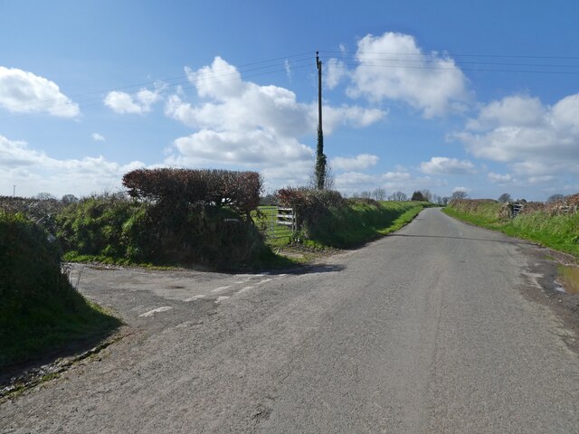
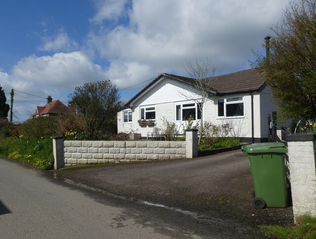
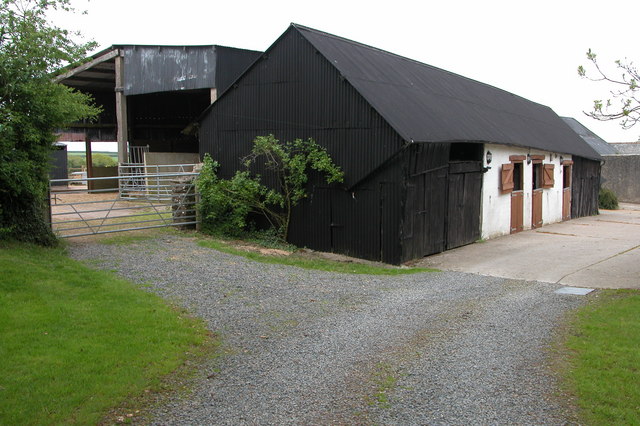
Balls Copse Images
Images are sourced within 2km of 50.925117/-3.9388291 or Grid Reference SS6315. Thanks to Geograph Open Source API. All images are credited.


Balls Copse is located at Grid Ref: SS6315 (Lat: 50.925117, Lng: -3.9388291)
Administrative County: Devon
District: North Devon
Police Authority: Devon and Cornwall
What 3 Words
///straw.aliens.overhaul. Near Chulmleigh, Devon
Nearby Locations
Related Wikis

Burrington, Devon
Burrington is a village and civil parish in North Devon in England. In 2001 the population was 538.The village has a church, a Methodist chapel, a pub...
Ashreigney
Ashreigney is a village and civil parish in the Torridge district of Devon, England, about 15 miles (24 km) south of the town of Barnstaple. According...
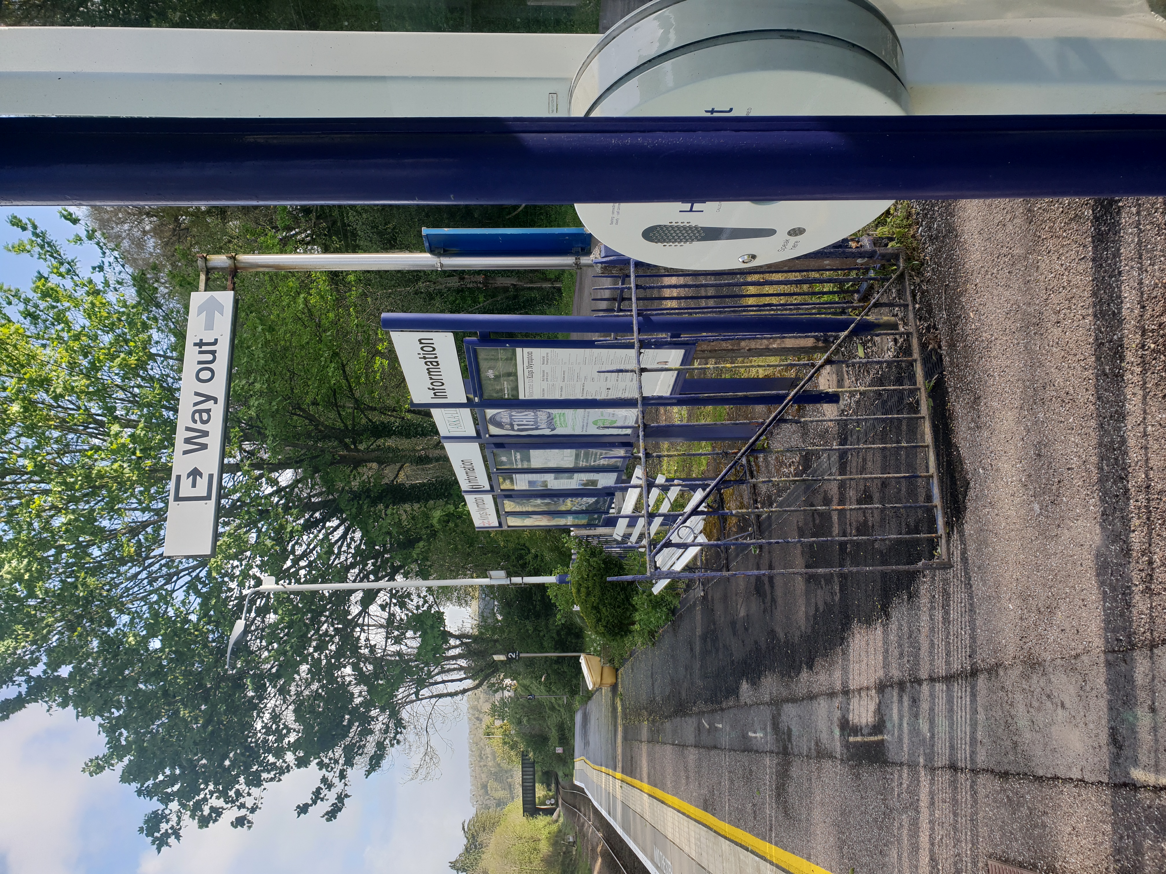
Kings Nympton railway station
Kings Nympton railway station, also spelt King's Nympton, is a halt on the Tarka Line in North Devon, serving the civil parishes of Chulmleigh, Burrington...

Little Dart River
The Little Dart River is a tributary of the River Taw in Devon, England. It joins the Taw a mile west of Chulmleigh. The Little Dart rises near Rackenford...
Nearby Amenities
Located within 500m of 50.925117,-3.9388291Have you been to Balls Copse?
Leave your review of Balls Copse below (or comments, questions and feedback).