Woodhays Wood
Wood, Forest in Devon West Devon
England
Woodhays Wood

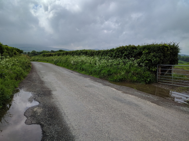
Woodhays Wood is a charming forest located in Devon, England. Covering an area of approximately 100 acres, the woodland is a mix of broadleaf and coniferous trees, creating a diverse and lush environment. The forest is a popular destination for nature lovers, hikers, and wildlife enthusiasts.
Visitors to Woodhays Wood can explore a network of well-maintained trails that wind through the trees, offering picturesque views and opportunities to spot local flora and fauna. The forest is home to a variety of bird species, including woodpeckers, owls, and songbirds, making it a haven for birdwatchers.
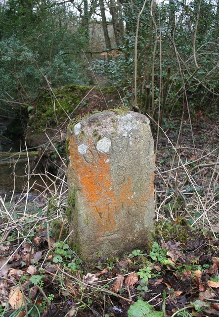
In addition to its natural beauty, Woodhays Wood also has historical significance. The forest has been a part of the landscape for centuries and has played a role in the local community's history. Visitors can discover remnants of old structures and learn about the area's past as they wander through the woodland.
Overall, Woodhays Wood is a peaceful and enchanting destination for those looking to escape the hustle and bustle of everyday life and connect with nature. Its tranquil atmosphere and scenic surroundings make it a must-visit location in Devon.
If you have any feedback on the listing, please let us know in the comments section below.
Woodhays Wood Images
Images are sourced within 2km of 50.762521/-3.9373312 or Grid Reference SX6397. Thanks to Geograph Open Source API. All images are credited.


Woodhays Wood is located at Grid Ref: SX6397 (Lat: 50.762521, Lng: -3.9373312)
Administrative County: Devon
District: West Devon
Police Authority: Devon and Cornwall
What 3 Words
///starlight.mining.takers. Near North Tawton, Devon
Nearby Locations
Related Wikis

Belstone Corner
Belstone Corner is a hamlet in West Devon in the English county of Devon, part of the civil parish of Sampford Courtenay. The Sampford Courtenay railway...
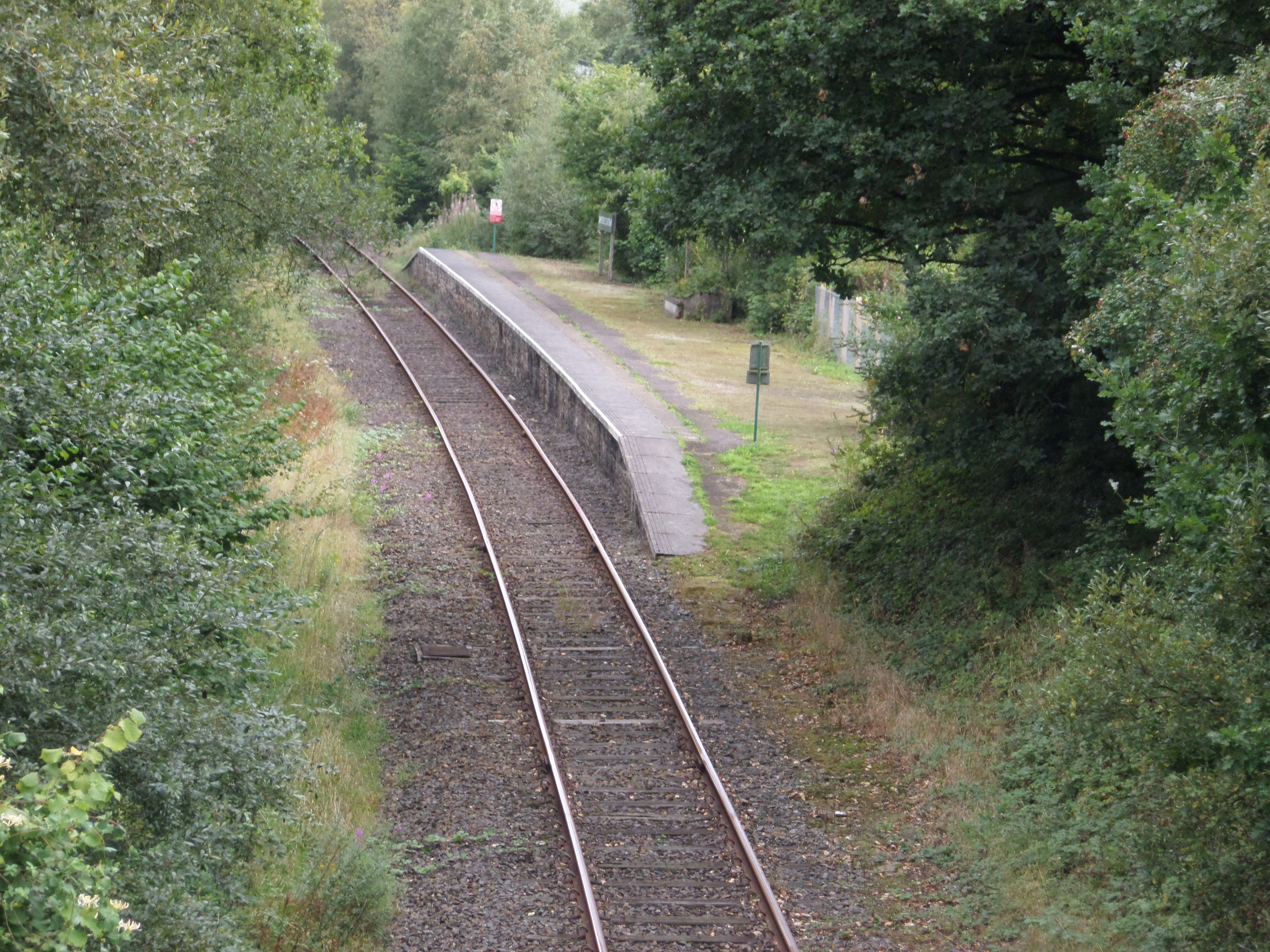
Sampford Courtenay railway station
Sampford Courtenay railway station is a disused railway station at Belstone Corner, which used to serve the nearby (1.6 miles) village of Sampford Courtenay...
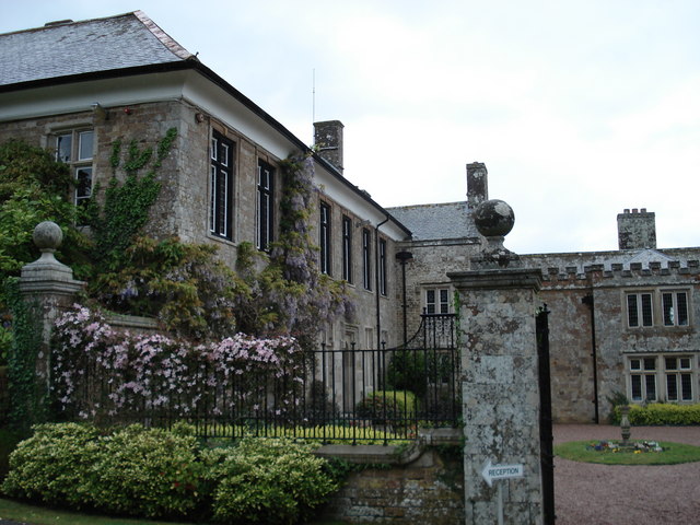
North Wyke
North Wyke is an historic manor in the parish of South Tawton, Devon. The surviving grade I listed manor house, the original Devonshire seat of the Wyke...

Stockley, Devon
Stockley is a hamlet on the eastern outskirts of Okehampton, in Devon, England. It lies just north of the A30. == References == The geographic coordinates...
Have you been to Woodhays Wood?
Leave your review of Woodhays Wood below (or comments, questions and feedback).