Hall Plantation
Wood, Forest in Devon South Hams
England
Hall Plantation
Hall Plantation is a picturesque woodland area located in the county of Devon, England. Situated on the outskirts of the quaint village of Wood, the plantation covers a vast expanse of land and is known for its diverse range of flora and fauna.
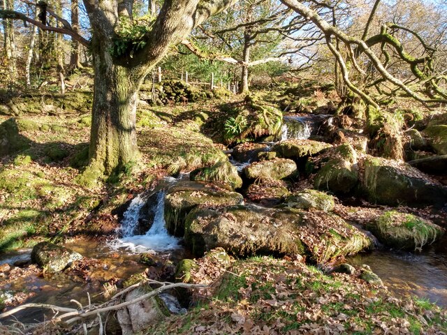
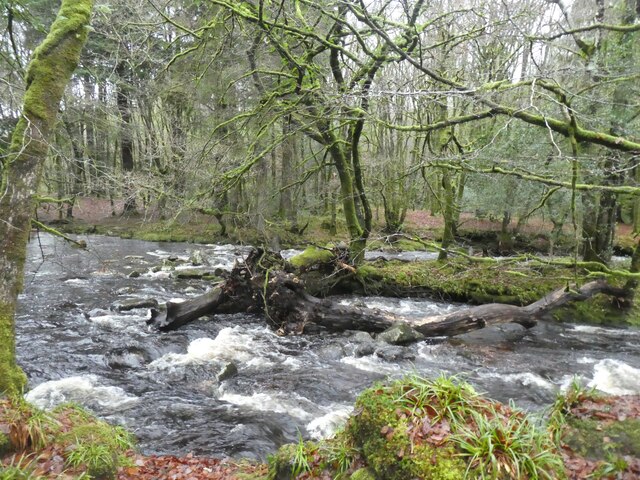
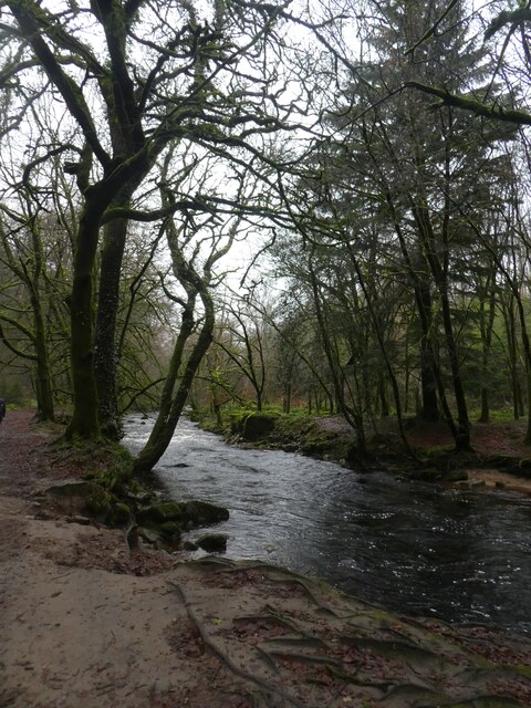
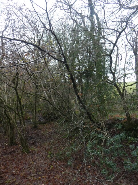
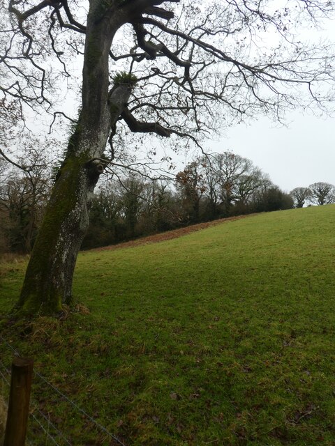
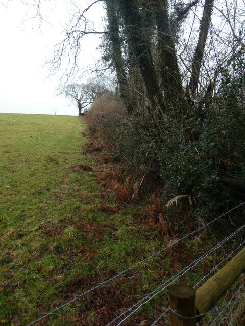
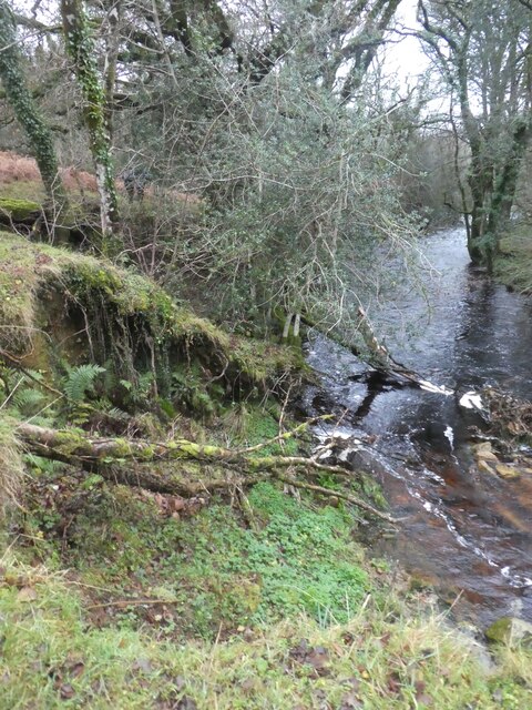
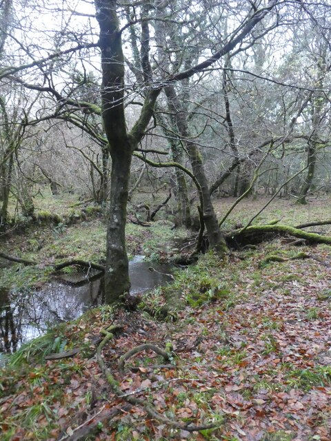
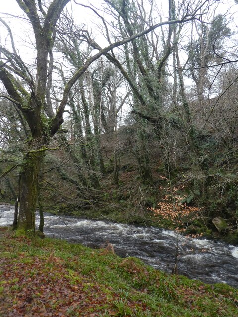
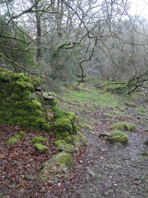
The plantation is primarily a forest area, characterized by dense foliage, towering trees, and a tranquil atmosphere. It boasts a rich variety of tree species, including oak, beech, ash, and birch, which contribute to its stunning natural beauty all year round. The woodland floor is adorned with a colorful array of wildflowers during the spring and summer months, creating a vibrant and enchanting setting.
Hall Plantation is not only a haven for nature enthusiasts but also serves as a habitat for numerous animals and birds. Visitors may be lucky enough to spot deer roaming freely, squirrels scurrying up the trees, or hear the melodic songs of various bird species that call this woodland their home.
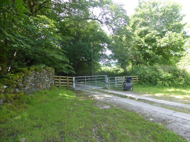
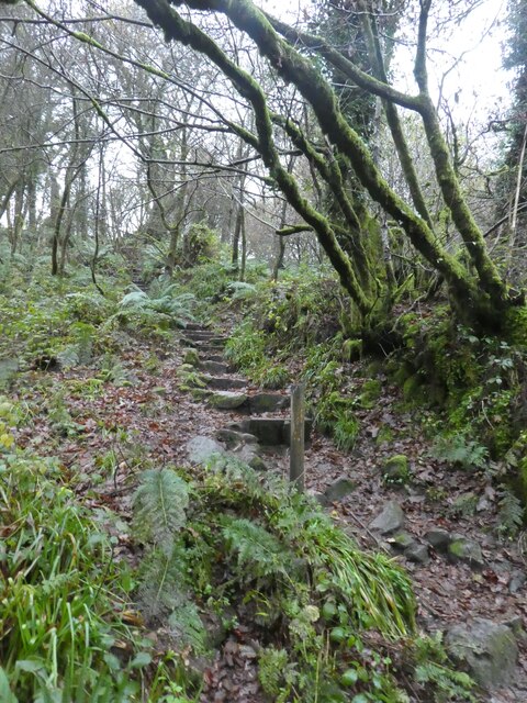
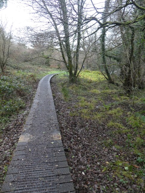
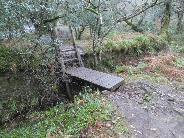
The plantation offers several well-maintained walking trails, allowing visitors to explore and appreciate the beauty of the surroundings. These paths wind through the forest, leading visitors to hidden nooks and crannies, babbling brooks, and even a small lake, providing ample opportunities for peaceful reflection and relaxation.
Overall, Hall Plantation in Devon is a nature lover's paradise, offering a serene and idyllic escape from the hustle and bustle of everyday life. With its stunning woodland scenery, diverse wildlife, and well-maintained trails, it is the perfect destination for those seeking a tranquil retreat in the heart of nature.
If you have any feedback on the listing, please let us know in the comments section below.
Hall Plantation Images
Images are sourced within 2km of 50.423695/-3.9238054 or Grid Reference SX6359. Thanks to Geograph Open Source API. All images are credited.


Hall Plantation is located at Grid Ref: SX6359 (Lat: 50.423695, Lng: -3.9238054)
Administrative County: Devon
District: South Hams
Police Authority: Devon and Cornwall
What 3 Words
///lookout.joked.such. Near Ivybridge, Devon
Nearby Locations
Related Wikis

Harford, Devon
Harford is a hamlet and civil parish located approximately 2 miles (3.2 km) north of the town of Ivybridge in the county of Devon, England. The parish...

Dendles Wood
Dendles Wood is an area of protected oak-beech woodland located on the southern edge of Dartmoor, in the English county of Devon. Forming part of the Dartmoor...

Stalldown Barrow
Stalldown Barrow, sometimes called Staldon, is a megalithic site in Devon, about 5 km from Harford. It consists of a long stone row. It is fairly close...

Butterdon Hill
Butterdon Hill is on Dartmoor, in southwest England. The remains of a small stone circle and a stone row can be found on the summit. The name Butterdon...
Nearby Amenities
Located within 500m of 50.423695,-3.9238054Have you been to Hall Plantation?
Leave your review of Hall Plantation below (or comments, questions and feedback).