Wrinkle Wood

Wood, Forest in Devon South Hams

England

Wrinkle Wood

Harvested field near Kingston Red trailers can be seen over the hedge in the d-adjacent field - see <a href="https://www.geograph.org.uk/photo/6829431">SX6348 : Tractors near Kingston</a> for one of them.
Harvested field near Kingston Credit: Derek Harper

Wrinkle Wood, located in Devon, England, is a picturesque forest renowned for its natural beauty and tranquil atmosphere. Covering an area of approximately 100 acres, it is a haven for nature enthusiasts and a popular destination for visitors seeking solace in the great outdoors.

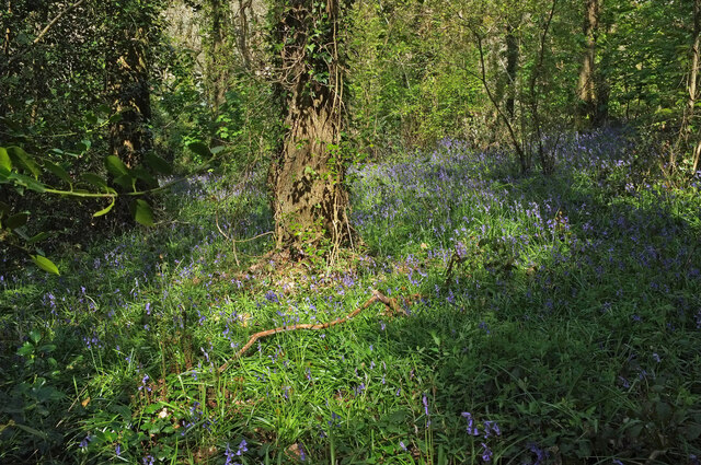
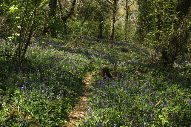
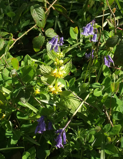
The wood is characterized by its dense canopy of towering oak and beech trees, which provide shade and create a cool, shady environment even on the hottest summer days. The forest floor is adorned with a vibrant carpet of wildflowers, ferns, and moss, creating a striking contrast against the towering trees.

Wrinkle Wood boasts a diverse range of wildlife, making it a perfect location for birdwatching and animal spotting. The forest is home to a variety of bird species, including woodpeckers, owls, and songbirds, as well as small mammals such as squirrels and hedgehogs. Lucky visitors may even catch a glimpse of the elusive deer that roam freely within the wood.

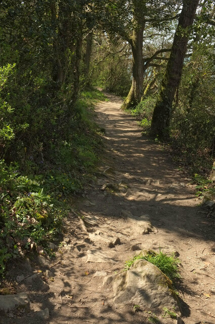
The wood offers several well-marked walking trails, allowing visitors to explore its enchanting beauty at their own pace. These trails wind through the ancient trees, revealing hidden streams, babbling brooks, and small waterfalls along the way. It is a place where one can truly disconnect from the hustle and bustle of everyday life and immerse oneself in the serenity of nature.

Wrinkle Wood, with its captivating landscape and abundant wildlife, provides a peaceful escape for those seeking a respite from the modern world. Whether it's a leisurely stroll or a quiet picnic, this forest is a gem of natural beauty that continues to captivate and inspire all who visit.

If you have any feedback on the listing, please let us know in the comments section below.

Wrinkle Wood Images

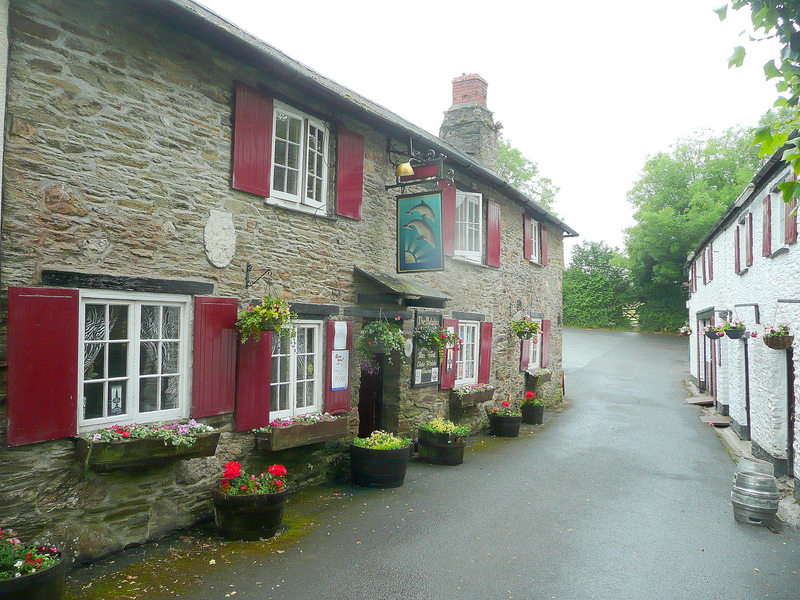
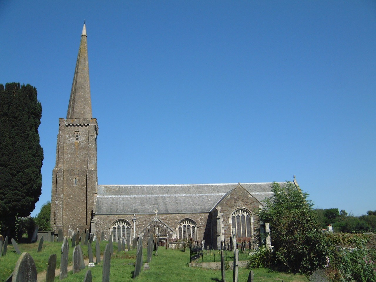
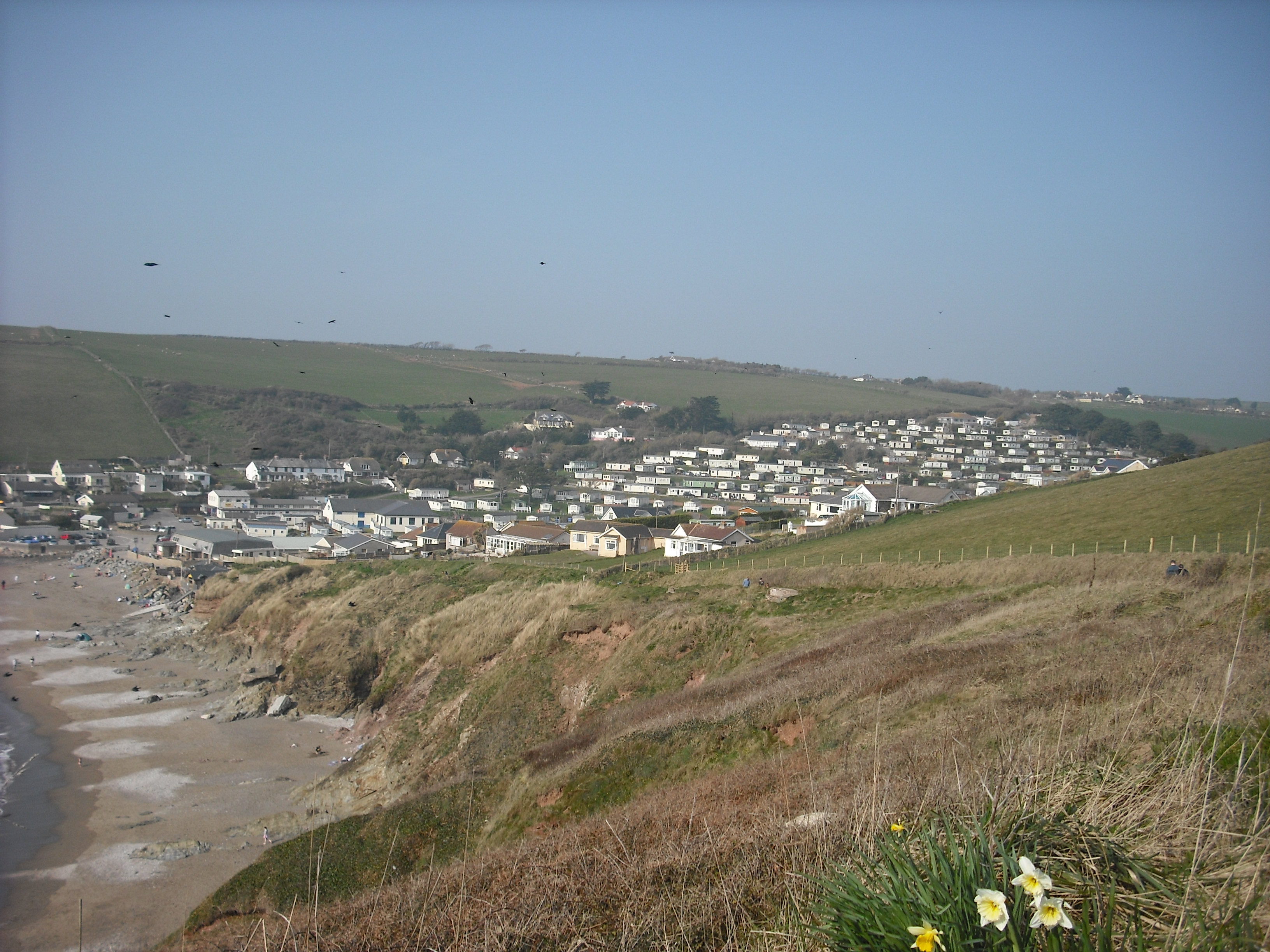
Images are sourced within 2km of 50.313282/-3.9384186 or Grid Reference SX6247. Thanks to Geograph Open Source API. All images are credited.

Harvested field near Kingston Red trailers can be seen over the hedge in the d-adjacent field - see <a href="https://www.geograph.org.uk/photo/6829431">SX6348 : Tractors near Kingston</a> for one of them.
Harvested field near Kingston
Red trailers can be seen over the hedge in the d-adjacent field - see SX6348 : Tractors near Kingston for one of them.
Footpath, Furzedown Wood Kingston footpath 3 winds between bluebells.
Footpath, Furzedown Wood
Kingston footpath 3 winds between bluebells.
Bluebells, Furzedown Wood Kingston footpath 3 drops through the bluebell wood.
Bluebells, Furzedown Wood
Kingston footpath 3 drops through the bluebell wood.
Bluebells, Furzedown Wood From the path shown in <a href="https://www.geograph.org.uk/photo/6829692">SX6247 : Footpath, Furzedown Wood</a>.
Bluebells, Furzedown Wood
From the path shown in SX6247 : Footpath, Furzedown Wood.
Footpath, Furzedown Wood Kingston footpath 3 reaches the southern edge of the wood after a climb.
Footpath, Furzedown Wood
Kingston footpath 3 reaches the southern edge of the wood after a climb.
Footpath, Furzedown Wood Kingston footpath 3 curves downhill through bluebells.
Footpath, Furzedown Wood
Kingston footpath 3 curves downhill through bluebells.
Bluebells, Wrinkle Wood Together with the neighbouring Furzedown Wood, a fine display of Hyacinthoides non-scripta.
Bluebells, Wrinkle Wood
Together with the neighbouring Furzedown Wood, a fine display of Hyacinthoides non-scripta.
Bluebells, Wrinkle Wood Looking right from <a href="https://www.geograph.org.uk/photo/6996392">SX6247 : Bluebells, Wrinkle Wood</a>.
Bluebells, Wrinkle Wood
Looking right from SX6247 : Bluebells, Wrinkle Wood.
Bluebells, Wrinkle Wood Looking across the sloping hillside.
Bluebells, Wrinkle Wood
Looking across the sloping hillside.
Footpath, Wrinkle Wood Kingston footpath 3 takes a diagonal route down the bluebell-swathed hillside.
Footpath, Wrinkle Wood
Kingston footpath 3 takes a diagonal route down the bluebell-swathed hillside.
Bluebells, Wrinkle Wood Looking right from the path shown in <a href="https://www.geograph.org.uk/photo/6996412">SX6247 : Footpath, Wrinkle Wood</a>.
Bluebells, Wrinkle Wood
Looking right from the path shown in SX6247 : Footpath, Wrinkle Wood.
Flowers, Wrinkle Wood A specimen of yellow archangel tucked away amidst the bluebells.
Flowers, Wrinkle Wood
A specimen of yellow archangel tucked away amidst the bluebells.
By the Erme estuary This popular spot is mapped as the eastern end of the ford used by the coast path - see <a href="https://www.geograph.org.uk/photo/2731430">SX6147 : Erme estuary</a>. I was hastening to catch the rest of my party, after being thoroughly distracted by the bluebells in Wrinkle Wood; had I looked more closely I would have seen that they were here. Instead I rushed on for a mile or two before concluding that I must have overtaken them.
By the Erme estuary
This popular spot is mapped as the eastern end of the ford used by the coast path - see SX6147 : Erme estuary. I was hastening to catch the rest of my party, after being thoroughly distracted by the bluebells in Wrinkle Wood; had I looked more closely I would have seen that they were here. Instead I rushed on for a mile or two before concluding that I must have overtaken them.
Coast path in Wrinkle Wood Kingston footpath 7 above the Erme estuary.
Coast path in Wrinkle Wood
Kingston footpath 7 above the Erme estuary.
Coast path above the Erme estuary Following Kingston footpath 7.
Coast path above the Erme estuary
Following Kingston footpath 7.
Erme estuary From the coast path as shown in <a href="https://www.geograph.org.uk/photo/6996598">SX6147 : Coast path above the Erme estuary</a>. The estuary is 350 metres across at this point, with the former coastguard cottages on the far side, but the main channel runs on this side, where it is followed by the parish boundary between Kingston (this side) and Holbeton.
Erme estuary
From the coast path as shown in SX6147 : Coast path above the Erme estuary. The estuary is 350 metres across at this point, with the former coastguard cottages on the far side, but the main channel runs on this side, where it is followed by the parish boundary between Kingston (this side) and Holbeton.
Coast path above the Erme estuary Kingston footpath 7 seen a little south of <a href="https://www.geograph.org.uk/photo/6996598">SX6147 : Coast path above the Erme estuary</a>.
Coast path above the Erme estuary
Kingston footpath 7 seen a little south of SX6147 : Coast path above the Erme estuary.
Trees behind Wonwell Beach In the foreground is a fragment of the coast path, Kingston footpath 7.
Trees behind Wonwell Beach
In the foreground is a fragment of the coast path, Kingston footpath 7.
Show me another place!

Wrinkle Wood is located at Grid Ref: SX6247 (Lat: 50.313282, Lng: -3.9384186)

Administrative County: Devon

District: South Hams

Police Authority: Devon and Cornwall

What 3 Words

///forgiving.workroom.zoos. Near Modbury, Devon

Related Wikis

River Erme

The Erme is a river in south Devon, England. From its source on Dartmoor it flows in a generally southerly direction past some of the best-preserved archaeological...

Kingston, Devon

Kingston is civil parish and small scattered village in the South Hams, Devon, England. It is three miles south west of Modbury and about a mile from the...

Battisborough Cross

Battisborough Cross is a village in the parish of Holbeton near Plymouth on the south coast of Devon, England . It is within the South Devon Area of Outstanding...

Holbury, Holbeton

Holbury is an Iron Age hill fort situated close to Holbeton in Devon, England. The fort is situated on a hilltop east of the Village approximately 95 metres...

Holbeton

Holbeton is a civil parish and village located 9 miles south east of Plymouth in the South Hams district of Devon, England. At the 2001 census the parish...

Ringmore

Ringmore is a village and civil parish in the South Hams district, on the coast of Devon, England. The population taken at the 2011 census was 208. �...

Flete House

Flete House is a Grade I listed country house at Holbeton, in the South Hams region of Devon, England. == History == With roots in Saxon times, the Manor...

Challaborough

Challaborough is a village and popular surfing beach in the District of South Hams on the south coast of Devon, England. The village is in the parish of...

Nearby Amenities

Located within 500m of 50.313282,-3.9384186
Turning Circle
Lat/Long: 50.3136538/-3.9394747
Barrier: kissing_gate
Lat/Long: 50.3145536/-3.9318799
Ford: yes
Lat/Long: 50.3132407/-3.9402424
The data included in this document is from www.openstreetmap.org. The data is made available under ODbL.

Have you been to Wrinkle Wood?

Leave your review of Wrinkle Wood below (or comments, questions and feedback).