Aylescott Plantation
Wood, Forest in Devon North Devon
England
Aylescott Plantation
Aylescott Plantation is a picturesque woodland located in Devon, England. Spanning over a vast area, this tranquil forest is a popular destination for nature lovers and outdoor enthusiasts alike. The plantation is situated near the village of Westleigh, offering a serene escape from the hustle and bustle of city life.
The woodland is predominantly made up of native tree species such as oak, beech, and birch, which contribute to the plantation's rich biodiversity. The lush undergrowth is home to a variety of flora, including bluebells, ferns, and wildflowers, which create a vibrant and enchanting atmosphere during spring and summer.
Aylescott Plantation offers a network of well-maintained walking trails, providing visitors with the opportunity to explore the forest at their own pace. These trails meander through the woodland, offering breathtaking views of the surrounding countryside and glimpses of local wildlife, such as deer, squirrels, and a variety of bird species.
The plantation also features picnic areas, allowing visitors to relax and enjoy a meal amidst the natural beauty. Additionally, there are designated camping spots for those looking to spend a night under the stars, immersing themselves in the peaceful ambiance of the forest.
Aylescott Plantation is not only a recreational haven but also serves as an important site for conservation. Efforts are made to maintain and preserve the woodland's diverse ecosystem, ensuring its sustainability for future generations to enjoy. Overall, Aylescott Plantation offers a delightful retreat for nature enthusiasts, offering a perfect blend of tranquility, natural beauty, and outdoor recreation.
If you have any feedback on the listing, please let us know in the comments section below.
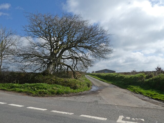
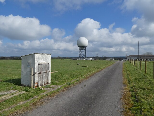
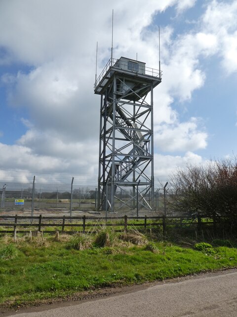
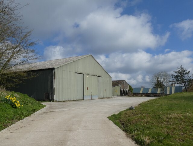
Aylescott Plantation Images
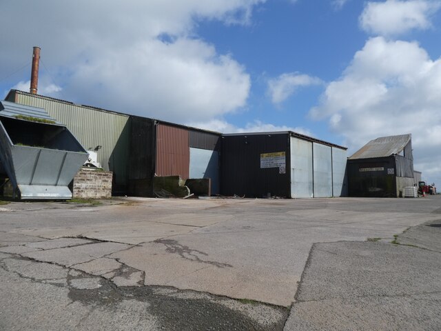
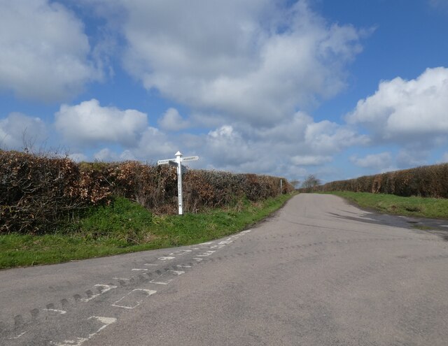
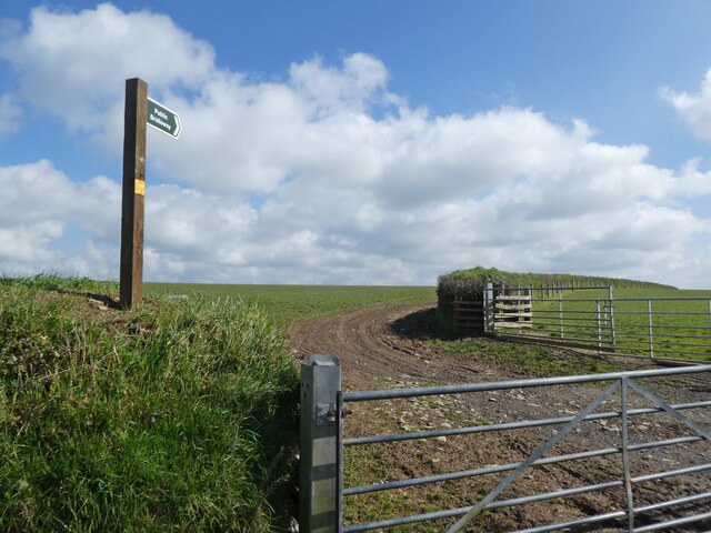
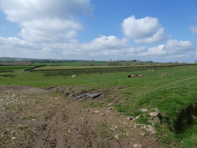
Images are sourced within 2km of 50.934149/-3.9644672 or Grid Reference SS6216. Thanks to Geograph Open Source API. All images are credited.


Aylescott Plantation is located at Grid Ref: SS6216 (Lat: 50.934149, Lng: -3.9644672)
Administrative County: Devon
District: North Devon
Police Authority: Devon and Cornwall
What 3 Words
///clear.daffodils.froze. Near Chulmleigh, Devon
Nearby Locations
Related Wikis

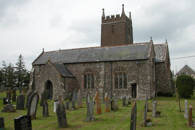
Burrington, Devon
Burrington is a village and civil parish in North Devon in England. In 2001 the population was 538.The village has a church, a Methodist chapel, a pub...

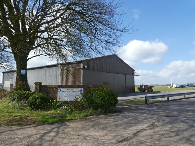
Eaglescott Airfield
Eaglescott Airfield (ICAO: EGHU) is located in Burrington, 6 nautical miles (11 km; 6.9 mi) east southeast of Great Torrington, in Devon, England. It is...

Portsmouth Arms railway station
Portsmouth Arms railway station is a small wayside station in Devon. It is in the parish of Burrington but remote from any village so is named after the...
Ashreigney
Ashreigney is a village and civil parish in the Torridge district of Devon, England, about 15 miles (24 km) south of the town of Barnstaple. According...
Related Videos

Tweentown Circular Hike, Part VI,'Lower Track and West & East Swallets'by Sheila, July 8th 2021
Beautiful Burrington Combe--like Cheddar Gorge a geological wonder of weathering------sculptured limestone rock forms the ...

A most unusual campsite with Added Attractions!
Not many airfields that encourage you to camp. This is in Devon. Edited by Victor Hulbert on ...
Tweentown Circular Hike, Part VII, 'The Ascent & Skirting of AONB'by Sheila, July 8th 2021
The hike continues in the hot sunshine with some shelter here and there--beautiful views of the hills---sometimes the ferns and ...

Nearby Amenities
Located within 500m of 50.934149,-3.9644672Have you been to Aylescott Plantation?
Leave your review of Aylescott Plantation below (or comments, questions and feedback).