Beccott Down
Wood, Forest in Devon North Devon
England
Beccott Down

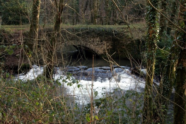
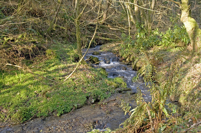
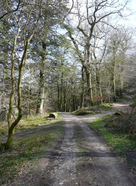
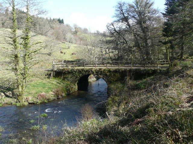
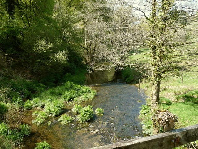
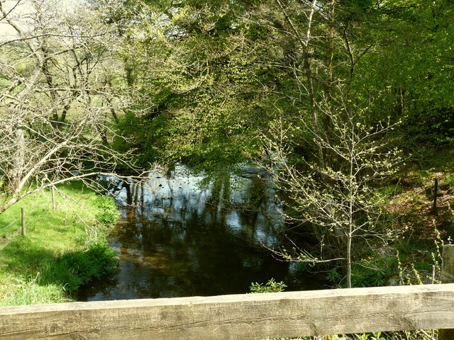
Beccott Down, located in Devon, England, is a picturesque woodland area known for its scenic beauty and rich biodiversity. Situated in the northern part of Devon, Beccott Down is characterized by its rolling hills, ancient woodland, and diverse flora and fauna.
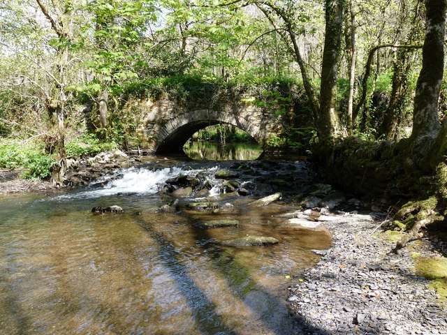
Covering an area of approximately 100 hectares, Beccott Down is primarily composed of mixed deciduous and coniferous trees, including oak, beech, and pine. The woodland is home to a variety of plants and wildflowers, such as bluebells, primroses, and foxgloves, which create a vibrant and colorful landscape during the spring and summer months.
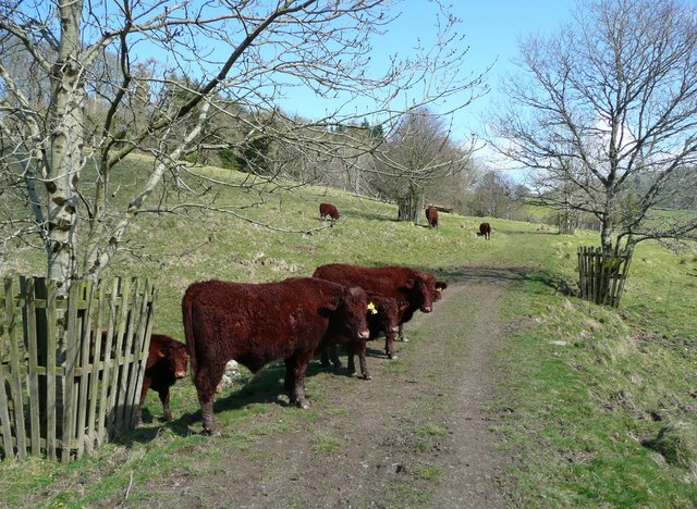
The diverse ecosystem of Beccott Down supports a wide range of wildlife, making it a popular spot for nature enthusiasts and birdwatchers. The woodland is home to numerous bird species, including woodpeckers, buzzards, and tawny owls. Additionally, mammals like badgers, foxes, and deer can often be spotted roaming the area.
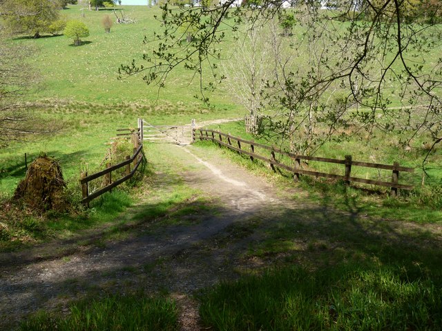
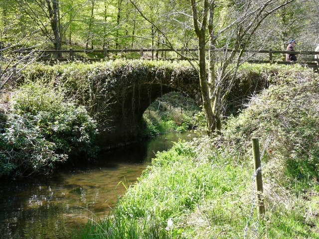
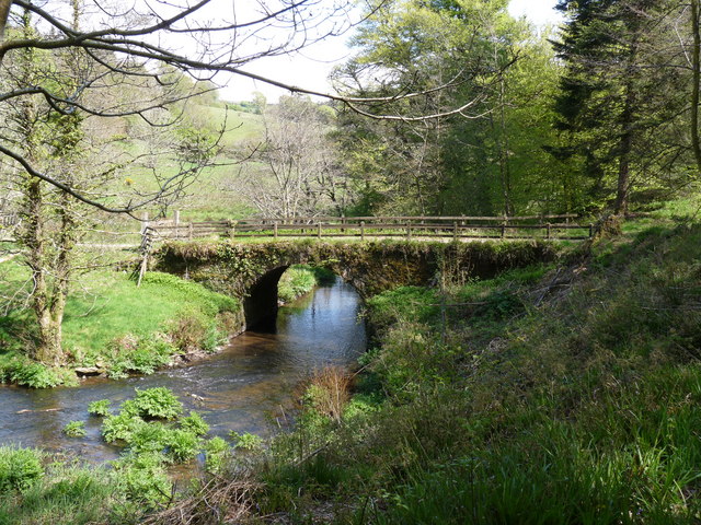
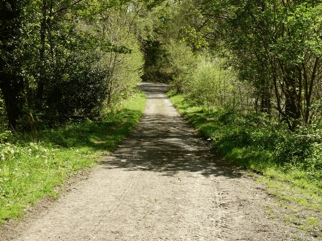
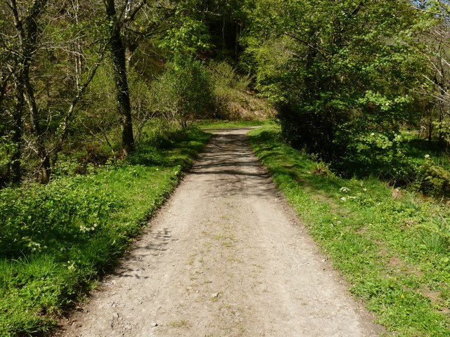
Beccott Down offers several walking trails and paths, allowing visitors to explore the natural beauty of the woodland at their own pace. These trails provide breathtaking views of the surrounding countryside, making it an ideal location for outdoor activities such as hiking, picnicking, and photography.
Managed and maintained by local conservation organizations, Beccott Down is dedicated to preserving the natural habitat and protecting its wildlife. Educational programs and events are often held in the area, providing opportunities for visitors to learn about the importance of conservation and environmental sustainability.
In summary, Beccott Down is a stunning woodland area in Devon, offering visitors an opportunity to immerse themselves in nature and experience its diverse flora and fauna.
If you have any feedback on the listing, please let us know in the comments section below.
Beccott Down Images
Images are sourced within 2km of 51.151896/-3.9750183 or Grid Reference SS6141. Thanks to Geograph Open Source API. All images are credited.


Beccott Down is located at Grid Ref: SS6141 (Lat: 51.151896, Lng: -3.9750183)
Administrative County: Devon
District: North Devon
Police Authority: Devon and Cornwall
What 3 Words
///straying.trickle.spice. Near Combe Martin, Devon
Nearby Locations
Related Wikis

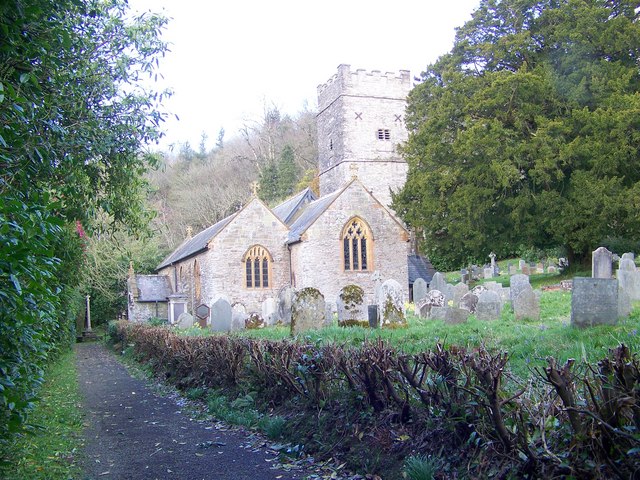
Arlington, Devon
Arlington was a manor, and is a village and civil parish in the North Devon district of Devon in England. The parish includes the villages of Arlington...
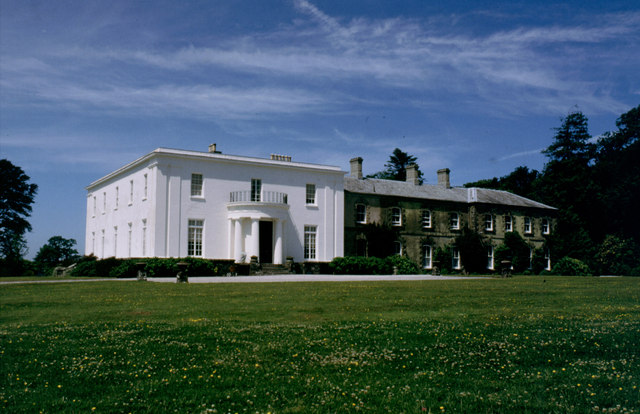
Arlington Court
Arlington Court is a neoclassical style country house built 1820–23, situated in the parish of Arlington, next to the parish church of St James, 5+1⁄4...
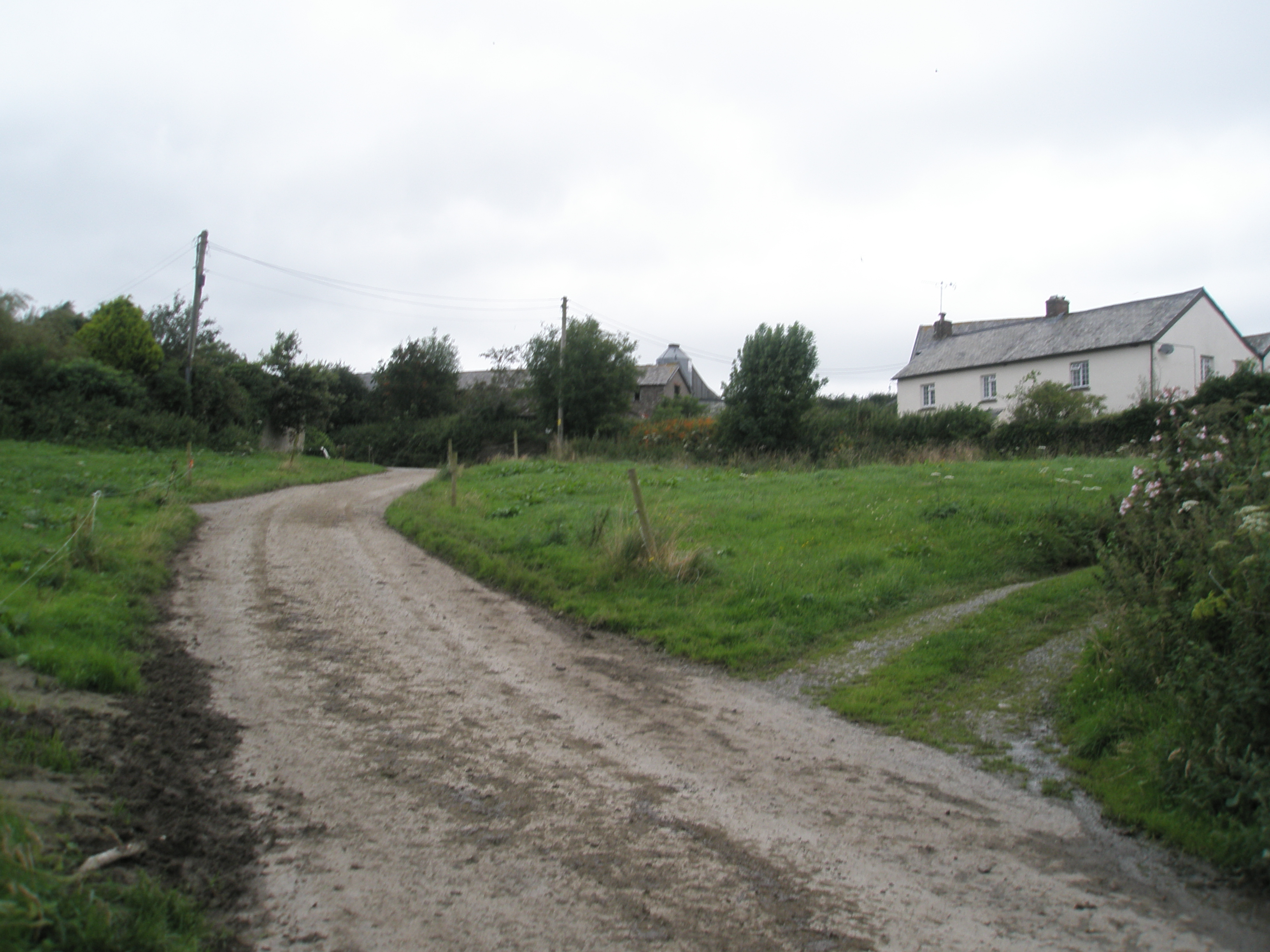
East Down, Devon
East Down is a village and civil parish in the Barnstaple district of Devon, England. It includes the hamlets of Churchill, Shortacombe, Brockham and Clifton...

Manor of Loxhore
The Manor of Loxhore was a manor in the parish of Loxhore, North Devon, England. == Descent of the manor == === de Meulles === In the Domesday Book of 1086...

Wistlandpound Reservoir
Wistlandpound Reservoir is a reservoir in Devon, England owned by South West Water. Completed in 1957, the earth embankment reservoir holds up to 1,550...
Churchill, Devon
Churchill (colloquially known as Hollyhurst) is a hamlet in the north of Devon, England, and is located near the village of East Down, and the town of...
Smythapark
Smythapark is the site of an Iron Age hill fort, situated close to the village of Bratton Fleming in Devon, England. The site is on a hillside forming...

Blackmoor Gate
Blackmoor Gate, the western gateway to Exmoor National Park, sits on the watershed between tributaries of the rivers Yeo and Heddon nearly 305 m (1000...
Nearby Amenities
Located within 500m of 51.151896,-3.9750183Have you been to Beccott Down?
Leave your review of Beccott Down below (or comments, questions and feedback).