Barn Park Copse

Wood, Forest in Devon Torridge

England

Barn Park Copse

Taw Valley This is taken right on the edge of the square, looking West, taking in its whole width. In the foreground is Kinnings Farm (now dog kennels), and we look across the Taw Valley a few miles N of Portsmouth Arms
Taw Valley Credit: Ainsley Bennett

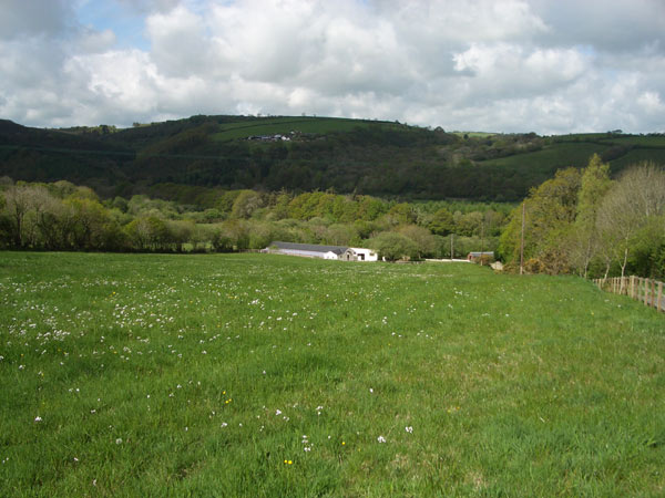
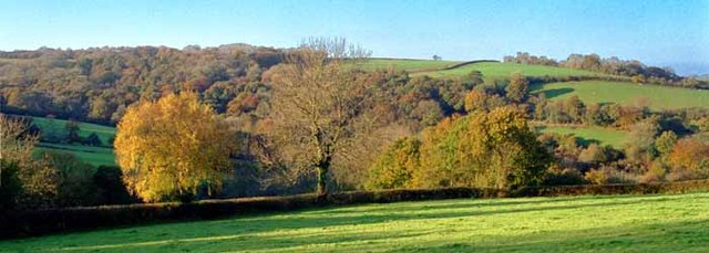
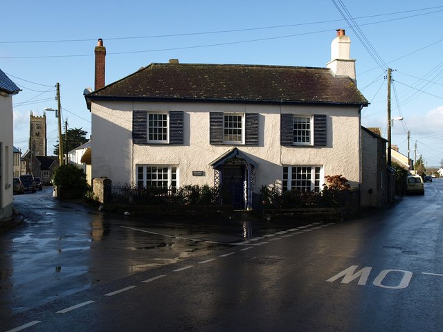
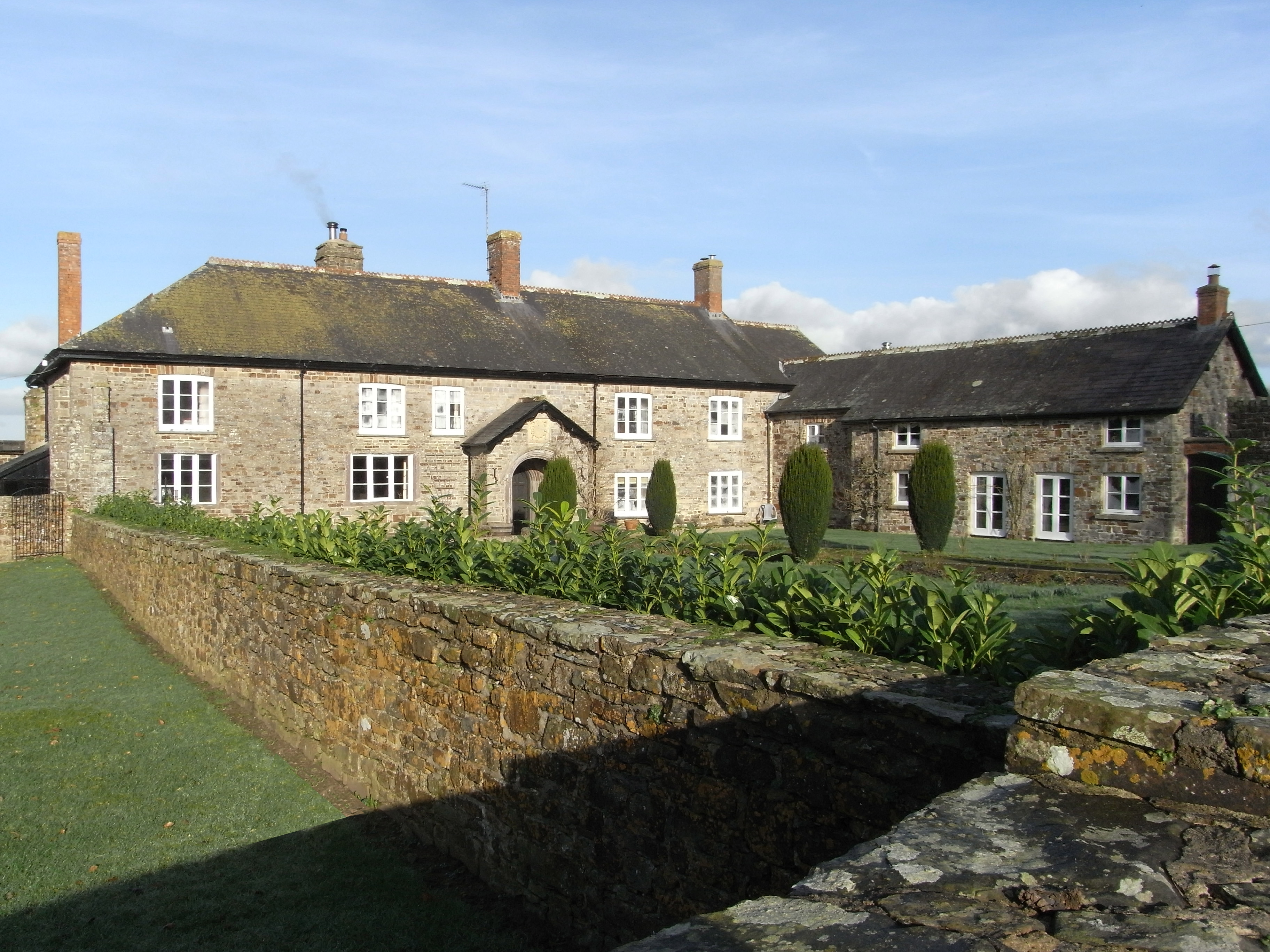
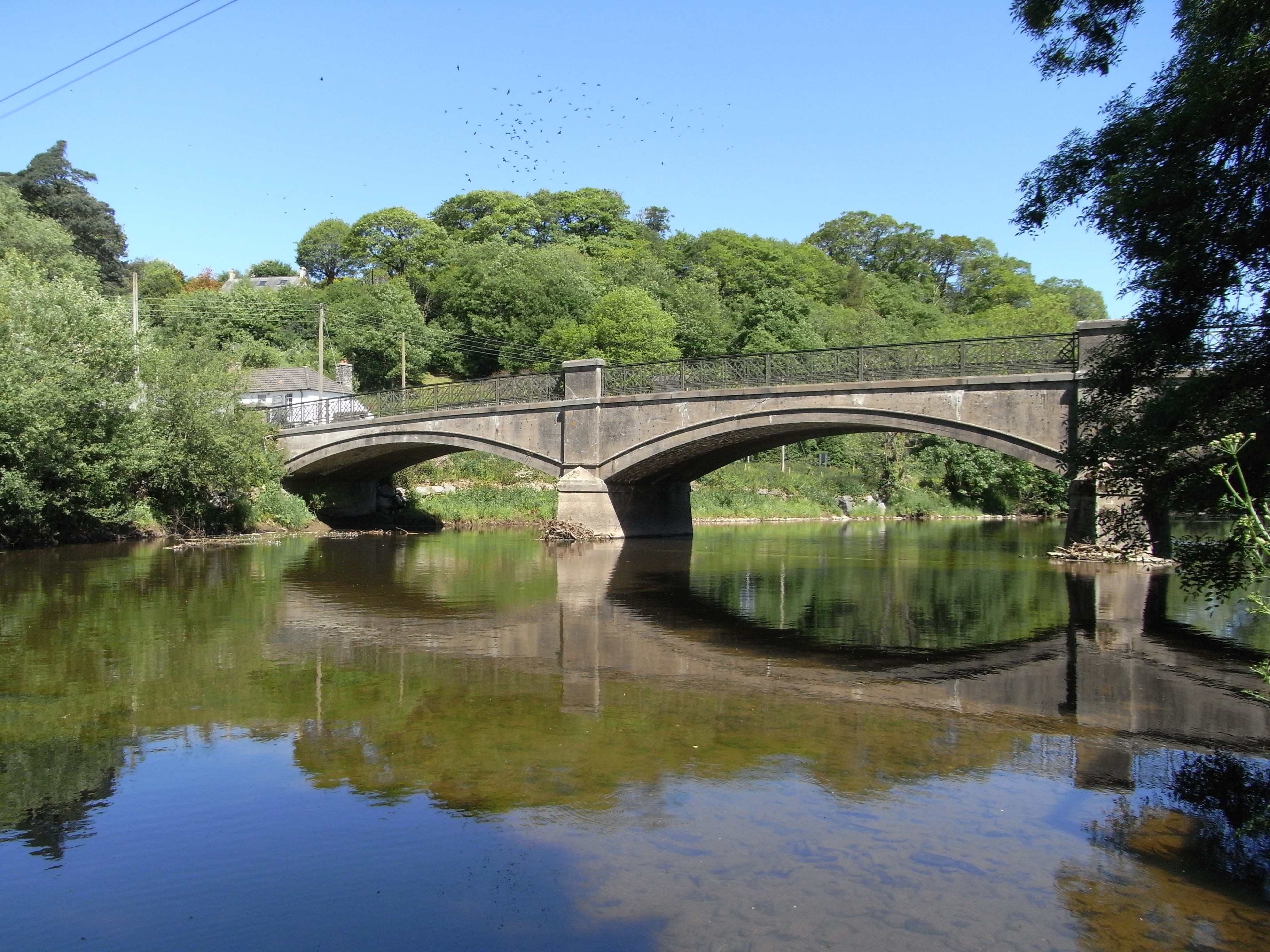
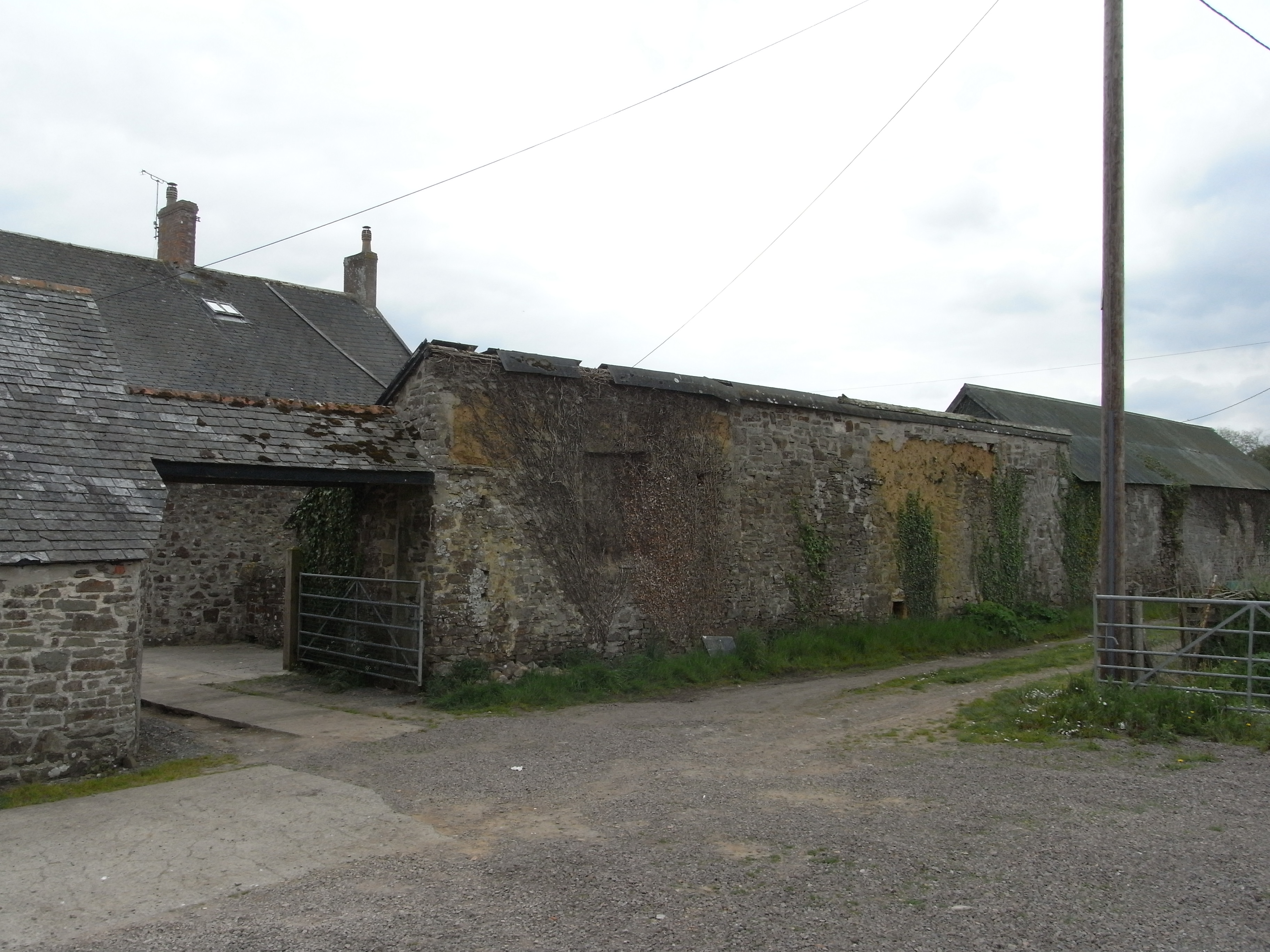
Barn Park Copse is a charming woodland located in Devon, England. Situated near the village of Barnstaple, this copse is a popular destination for nature lovers and outdoor enthusiasts. Covering an area of approximately 50 acres, Barn Park Copse offers a serene and tranquil setting for visitors to explore.

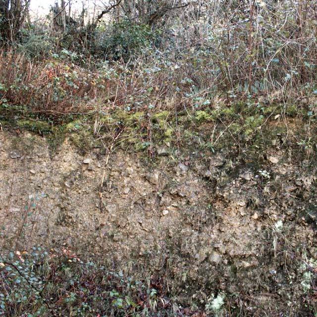
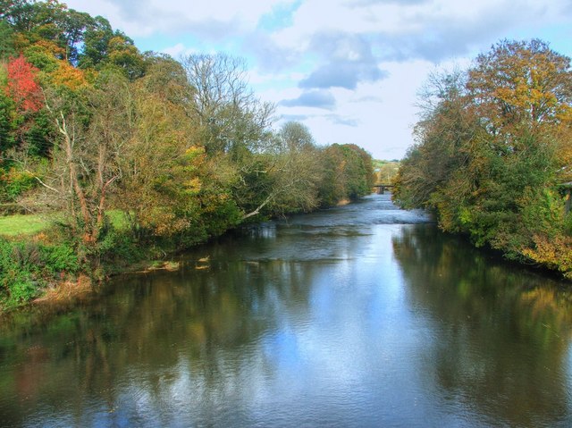
The copse is primarily composed of deciduous trees, including oak, beech, and ash, which create a dense canopy overhead. The forest floor is covered in a variety of shrubs, ferns, and wildflowers, adding to the copse's natural beauty. These diverse plant species provide an ideal habitat for various wildlife, including birds, squirrels, and small mammals.

Trails wind their way through Barn Park Copse, allowing visitors to easily navigate and fully experience the copse's wonders. The paths are well-maintained and suitable for both leisurely strolls and more adventurous hikes. Along the way, there are several benches and picnic areas where visitors can rest and take in the peaceful surroundings.

The copse is particularly enchanting during the spring and summer months when the trees are in full bloom and the forest is alive with the sounds of birdsong. Autumn brings a stunning display of colorful foliage, making it a popular time for photography enthusiasts.

Barn Park Copse is managed by the local council, ensuring its preservation for future generations. The copse is open to the public year-round and offers free admission. It serves as a valuable recreational space for locals and visitors alike, providing a peaceful sanctuary away from the hustle and bustle of city life.

If you have any feedback on the listing, please let us know in the comments section below.

Barn Park Copse Images

Images are sourced within 2km of 50.976289/-3.9774281 or Grid Reference SS6121. Thanks to Geograph Open Source API. All images are credited.

Taw Valley This is taken right on the edge of the square, looking West, taking in its whole width. In the foreground is Kinnings Farm (now dog kennels), and we look across the Taw Valley a few miles N of Portsmouth Arms
Taw Valley
This is taken right on the edge of the square, looking West, taking in its whole width. In the foreground is Kinnings Farm (now dog kennels), and we look across the Taw Valley a few miles N of Portsmouth Arms
Mobile phone pole at Fisherton This mobile phone pole a site belonging to O2 with a joint T-Mobile installation on it stands on a small farm at Fisherton near to Atherington above the Taw Valley near Umberleigh.
There are good views south through the Taw Valley.
Mobile phone pole at Fisherton
This mobile phone pole a site belonging to O2 with a joint T-Mobile installation on it stands on a small farm at Fisherton near to Atherington above the Taw Valley near Umberleigh. There are good views south through the Taw Valley.
Autumn view from centre of grid square Grazing land on Devon Culm. Knapp Wood is on upper left, which is natural woodland.
Autumn view from centre of grid square
Grazing land on Devon Culm. Knapp Wood is on upper left, which is natural woodland.
High Bickington High Street Looking down the High Street towards the Village School. Behind is the Church which is in Grid square SS5920
High Bickington High Street
Looking down the High Street towards the Village School. Behind is the Church which is in Grid square SS5920
High Bickington High Street and Post Office The Post Office on the corner also sells groceries since the Village Shop closed. The SS60 grid line passes at this point.
High Bickington High Street and Post Office
The Post Office on the corner also sells groceries since the Village Shop closed. The SS60 grid line passes at this point.
The Old George Inn Dating from the 16th Century, The Old George Inn in Poplar Terrace is one of two pubs in High Bickington. The 1Km Grid line runs down this road.
The Old George Inn
Dating from the 16th Century, The Old George Inn in Poplar Terrace is one of two pubs in High Bickington. The 1Km Grid line runs down this road.
Weirmarsh Farm Weirmarsh Farm on a sunny February afternoon. The Farmyard lies between the A377 and the River Taw.
Weirmarsh Farm
Weirmarsh Farm on a sunny February afternoon. The Farmyard lies between the A377 and the River Taw.
Devon Culm Subsoil This is what is under your feet in this part of Devon. The subsoil is very stony and well-drained with a thin but fertile topsoil with a high clay content. This bank was cut into a fairly steep hillside. Agriculturally, this type of land is mainly used for grazing or forestry.
Devon Culm Subsoil
This is what is under your feet in this part of Devon. The subsoil is very stony and well-drained with a thin but fertile topsoil with a high clay content. This bank was cut into a fairly steep hillside. Agriculturally, this type of land is mainly used for grazing or forestry.
River Taw in spate at Smallmarsh This is a typical occurrence after heavy rainfall especially over Dartmoor to the south
River Taw in spate at Smallmarsh
This is a typical occurrence after heavy rainfall especially over Dartmoor to the south
Tarka Line to Barnstaple This is the Exeter to Barnstaple railway line heading north down the Taw valley through flooded fields
Tarka Line to Barnstaple
This is the Exeter to Barnstaple railway line heading north down the Taw valley through flooded fields
Maize field in Taw valley Seen from the A377. The river runs a little way beyond the trees. The far side of the valley is in <a href="https://www.geograph.org.uk/gridref/SS6222">SS6222</a>.
Maize field in Taw valley
Seen from the A377. The river runs a little way beyond the trees. The far side of the valley is in SS6222.
Southwood From the point at which High Bickington Bridleway 4 diverges from the farm track to Snape, this view looks across a field to the group of houses at Southwood. Deep Lane runs behind the hedge on the far side of the field as it drops down towards the Taw valley.
Southwood
From the point at which High Bickington Bridleway 4 diverges from the farm track to Snape, this view looks across a field to the group of houses at Southwood. Deep Lane runs behind the hedge on the far side of the field as it drops down towards the Taw valley.
Tree overlooking Weirmarsh A tree on the slopes of the Taw valley near Weirmarsh Farm, seen from the A377.
Tree overlooking Weirmarsh
A tree on the slopes of the Taw valley near Weirmarsh Farm, seen from the A377.
Taylor's Lane Not a great deal of evidence of an actual lane along this stretch of High Bickington Bridleway 4, which is here just a field path, but at either end of this stretch, which curves gracefully beside a field boundary, is a proper track, so doubtless this was once enclosed. The views across the Taw valley are excellent. The conspicuous buildings on the left are at Little Silver, in SS6220.
Taylor's Lane
Not a great deal of evidence of an actual lane along this stretch of High Bickington Bridleway 4, which is here just a field path, but at either end of this stretch, which curves gracefully beside a field boundary, is a proper track, so doubtless this was once enclosed. The views across the Taw valley are excellent. The conspicuous buildings on the left are at Little Silver, in SS6220.
Courage Copse The Warkleigh - Umberleigh road passes through this small copse at the bottom of the Taw Valley. The weather was dull with light rain.
Courage Copse
The Warkleigh - Umberleigh road passes through this small copse at the bottom of the Taw Valley. The weather was dull with light rain.
Cottage, High Bickington This attractive listed cottage stands at the junction of North Road (the B3217, right) with the High Street, also seen in <a href="https://www.geograph.org.uk/photo/338205">SS6020 : High Bickington High Street</a>. Howards is described at <span class="nowrap"><a title="https://www.historicengland.org.uk/listing/the-list/list-entry/1326599" rel="nofollow ugc noopener" href="https://www.historicengland.org.uk/listing/the-list/list-entry/1326599">Link</a><img style="margin-left:2px;" alt="External link" title="External link - shift click to open in new window" src="https://s1.geograph.org.uk/img/external.png" width="10" height="10"/></span> .
Cottage, High Bickington
This attractive listed cottage stands at the junction of North Road (the B3217, right) with the High Street, also seen in SS6020 : High Bickington High Street. Howards is described at LinkExternal link .
River Taw from Umberleigh road bridge Looking downstream towards Barnstaple, with the Tarka Line railway bridge in the distance. The autumn colours along the valley are stunning this year
River Taw from Umberleigh road bridge
Looking downstream towards Barnstaple, with the Tarka Line railway bridge in the distance. The autumn colours along the valley are stunning this year
Lane descending past Shortridge Cottage
Show me another place!

Barn Park Copse is located at Grid Ref: SS6121 (Lat: 50.976289, Lng: -3.9774281)

Administrative County: Devon

District: Torridge

Police Authority: Devon and Cornwall

What 3 Words

///chapters.enable.valuables. Near Chulmleigh, Devon

Related Wikis

Brightley, Chittlehampton

Brightley was historically the principal secondary estate within the parish and former manor of Chittlehampton in the county of Devon, England, situated...

High Bickington

High Bickington is a rural village and civil parish in the Torridge district of Devon, England. The village lies on the B3217 road, around 6 miles (10...

Umberleigh

Umberleigh is a former large manor within the historic hundred of (North) Tawton, but today a small village in North Devon in England. It used to be an...

Umberleigh railway station

Umberleigh railway station serves the village of Umberleigh in Devon, England. It is on the Tarka Line to Barnstaple, 33 miles 22 chains (53.6 km) from...

Atherington, Devon

Atherington is a village and civil parish in the North Devon district of Devon, England, about 8 miles south of Barnstaple. According to the 2001 census...

Portsmouth Arms railway station

Portsmouth Arms railway station is a small wayside station in Devon. It is in the parish of Burrington but remote from any village so is named after the...

Holy Trinity Chapel, Umberleigh

The Chapel of the Holy Trinity at Umberleigh is a ruinous mediaeval chapel in north Devon, England, largely demolished according to Lysons (1822) in about...

Chittlehamholt

Chittlehamholt is a village and civil parish in North Devon district, Devon, England. In the 2011 census it was recorded as having a population of 169...

Nearby Amenities

Located within 500m of 50.976289,-3.9774281
Direction: SSE
Generator Method: photovoltaic
Generator Output Electricity: yes
Generator Solar Modules: 18
Generator Source: solar
Generator Type: solar_photovoltaic_panel
Location: roof
Power: generator
Lat/Long: 50.9771221/-3.9824896
Direction: SSW
Generator Method: photovoltaic
Generator Output Electricity: yes
Generator Solar Modules: 8
Generator Source: solar
Generator Type: solar_photovoltaic_panel
Location: roof
Power: generator
Lat/Long: 50.976336/-3.9812565
Direction: SSE
Generator Method: photovoltaic
Generator Output Electricity: yes
Generator Solar Modules: 12
Generator Source: solar
Generator Type: solar_photovoltaic_panel
Location: roof
Power: generator
Lat/Long: 50.9761029/-3.9814684
Give Way
Direction: backward
Lat/Long: 50.9788995/-3.9740448
Give Way
Direction: backward
Lat/Long: 50.9789162/-3.9741265
Power: pole
Source: bing
Lat/Long: 50.975381/-3.9843223
Power: pole
Source: bing
Lat/Long: 50.9750398/-3.9832775
Power: pole
Source: bing
Lat/Long: 50.9751935/-3.982674
Power: pole
Source: bing
Lat/Long: 50.9755372/-3.9813463
Power: pole
Source: bing
Lat/Long: 50.9781033/-3.9811385
Power: pole
Source: bing
Lat/Long: 50.9774835/-3.9809614
Power: pole
Source: bing
Lat/Long: 50.9766087/-3.9807415
Power: pole
Source: bing
Transformer: distribution
Lat/Long: 50.976374/-3.9806664
Power: pole
Source: bing
Lat/Long: 50.975717/-3.980653
Power: pole
Source: bing
Lat/Long: 50.9751682/-3.9806449
Power: pole
Source: bing
Lat/Long: 50.9744098/-3.9806235
Power: pole
Source: bing
Lat/Long: 50.9736667/-3.980594
Power: pole
Source: bing
Lat/Long: 50.9728273/-3.9805752
Brand: National Grid
Brand Wikidata: Q1465461
Line Attachment: pin
Material: wood
Operator: National Grid Electricity Distribution Plc
Operator Old: Western Power Distribution
Operator Wikidata: Q7988183
Owner: National Grid Electricity Distribution (South West) Plc
Owner Wikidata: Q114397866
Power: pole
Lat/Long: 50.9786665/-3.9798336
Brand: National Grid
Brand Wikidata: Q1465461
Line Attachment: pin
Material: wood
Operator: National Grid Electricity Distribution Plc
Operator Old: Western Power Distribution
Operator Wikidata: Q7988183
Owner: National Grid Electricity Distribution (South West) Plc
Owner Wikidata: Q114397866
Power: pole
Lat/Long: 50.9786636/-3.976631
Brand: National Grid
Brand Wikidata: Q1465461
Line Attachment: pin
Material: wood
Operator: National Grid Electricity Distribution Plc
Operator Old: Western Power Distribution
Operator Wikidata: Q7988183
Owner: National Grid Electricity Distribution (South West) Plc
Owner Wikidata: Q114397866
Power: pole
Lat/Long: 50.978558/-3.9787862
Brand: National Grid
Brand Wikidata: Q1465461
Line Attachment: pin
Line Management: split
Material: wood
Operator: National Grid Electricity Distribution Plc
Operator Old: Western Power Distribution
Operator Wikidata: Q7988183
Owner: National Grid Electricity Distribution (South West) Plc
Owner Wikidata: Q114397866
Power: pole
Lat/Long: 50.9783984/-3.9772667
Brand: National Grid
Brand Wikidata: Q1465461
Line Attachment: pin
Material: wood
Operator: National Grid Electricity Distribution Plc
Operator Old: Western Power Distribution
Operator Wikidata: Q7988183
Owner: National Grid Electricity Distribution (South West) Plc
Owner Wikidata: Q114397866
Power: pole
Lat/Long: 50.9788599/-3.9755166
Brand: National Grid
Brand Wikidata: Q1465461
Line Attachment: pin
Material: wood
Operator: National Grid Electricity Distribution Plc
Operator Old: Western Power Distribution
Operator Wikidata: Q7988183
Owner: National Grid Electricity Distribution (South West) Plc
Owner Wikidata: Q114397866
Power: pole
Lat/Long: 50.9782882/-3.9762662
Brand: National Grid
Brand Wikidata: Q1465461
Line Attachment: pin
Line Management: split
Material: wood
Operator: National Grid Electricity Distribution Plc
Operator Old: Western Power Distribution
Operator Wikidata: Q7988183
Owner: National Grid Electricity Distribution (South West) Plc
Owner Wikidata: Q114397866
Power: pole
Lat/Long: 50.9783254/-3.9752014
Brand: National Grid
Brand Wikidata: Q1465461
Line Attachment: pin
Material: wood
Operator: National Grid Electricity Distribution Plc
Operator Old: Western Power Distribution
Operator Wikidata: Q7988183
Owner: National Grid Electricity Distribution (South West) Plc
Owner Wikidata: Q114397866
Power: pole
Lat/Long: 50.9783642/-3.9741258
Brand: National Grid
Brand Wikidata: Q1465461
Line Attachment: pin
Material: wood
Operator: National Grid Electricity Distribution Plc
Operator Old: Western Power Distribution
Operator Wikidata: Q7988183
Owner: National Grid Electricity Distribution (South West) Plc
Owner Wikidata: Q114397866
Power: pole
Lat/Long: 50.978398/-3.9729497
Brand: National Grid
Brand Wikidata: Q1465461
Line Attachment: pin
Material: wood
Operator: National Grid Electricity Distribution Plc
Operator Old: Western Power Distribution
Operator Wikidata: Q7988183
Owner: National Grid Electricity Distribution (South West) Plc
Owner Wikidata: Q114397866
Power: pole
Lat/Long: 50.9784318/-3.9720418
Ford: yes
Lat/Long: 50.9756063/-3.971616
Give Way
Direction: backward
Lat/Long: 50.9796781/-3.979969
Brand: National Grid
Brand Wikidata: Q1465461
Guyed: yes
Operator: National Grid Electricity Distribution Plc
Operator Old: Western Power Distribution
Operator Wikidata: Q7988183
Owner: National Grid Electricity Distribution (South West) Plc
Owner Wikidata: Q114397866
Power: pole
Source: bing
Lat/Long: 50.9788236/-3.9813209
Ford: yes
Lat/Long: 50.9787602/-3.9764017
The data included in this document is from www.openstreetmap.org. The data is made available under ODbL.

Have you been to Barn Park Copse?

Leave your review of Barn Park Copse below (or comments, questions and feedback).