Brightley Wood
Wood, Forest in Devon North Devon
England
Brightley Wood
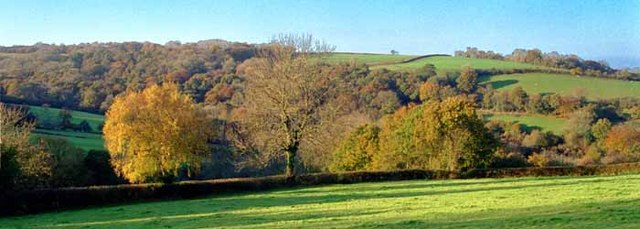
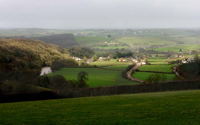
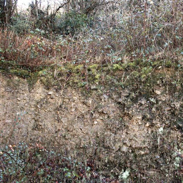
Brightley Wood is a picturesque woodland located in Devon, England. Situated near the town of Okehampton, it covers an area of approximately 100 acres. The wood is characterized by its diverse range of tree species, including oak, beech, ash, and birch, creating a vibrant and lush forest landscape.
As one of the few remaining ancient woodlands in the region, Brightley Wood boasts a rich history and provides an important habitat for a variety of wildlife. The woodland floor is covered with a carpet of bluebells in the spring, creating a stunning display of color. It is also home to various bird species, such as woodpeckers, owls, and songbirds, making it a haven for birdwatchers and nature enthusiasts.
Visitors to Brightley Wood can enjoy a network of well-maintained footpaths that wind through the forest, providing opportunities for leisurely walks or more adventurous hikes. The paths are accessible year-round, allowing visitors to experience the changing beauty of the wood in different seasons.
The wood is managed by a local conservation organization, which ensures the preservation of its natural beauty and encourages sustainable practices. Conservation efforts include the planting of new trees and the removal of invasive species to maintain the wood's ecological balance.
Brightley Wood offers a tranquil and serene escape from the hustle and bustle of daily life, allowing visitors to immerse themselves in nature and appreciate the beauty of this ancient woodland.
If you have any feedback on the listing, please let us know in the comments section below.
Brightley Wood Images
Images are sourced within 2km of 50.984219/-3.9796743 or Grid Reference SS6122. Thanks to Geograph Open Source API. All images are credited.


Brightley Wood is located at Grid Ref: SS6122 (Lat: 50.984219, Lng: -3.9796743)
Administrative County: Devon
District: North Devon
Police Authority: Devon and Cornwall
What 3 Words
///cloth.chromatic.oils. Near South Molton, Devon
Nearby Locations
Related Wikis
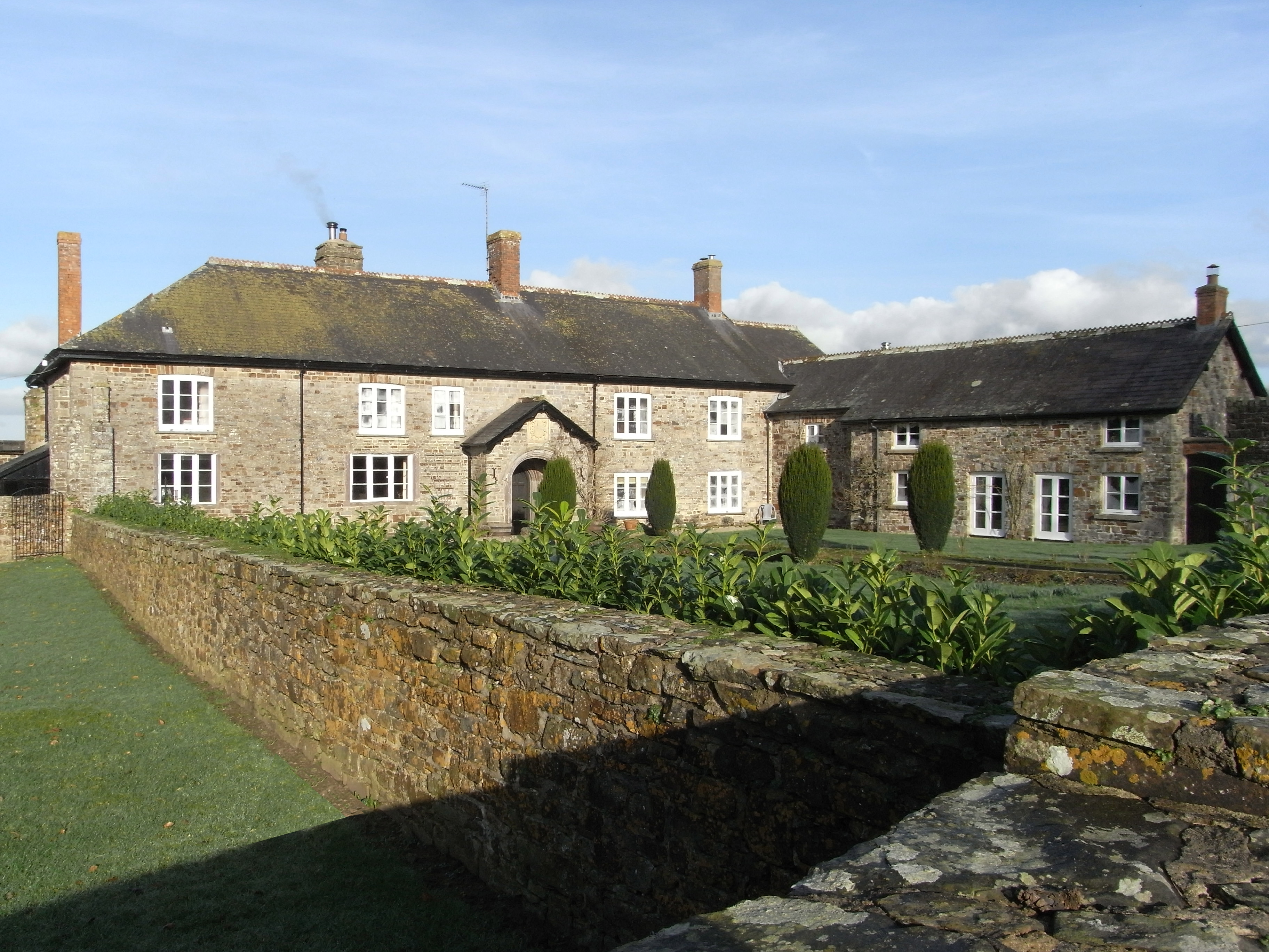
Brightley, Chittlehampton
Brightley was historically the principal secondary estate within the parish and former manor of Chittlehampton in the county of Devon, England, situated...
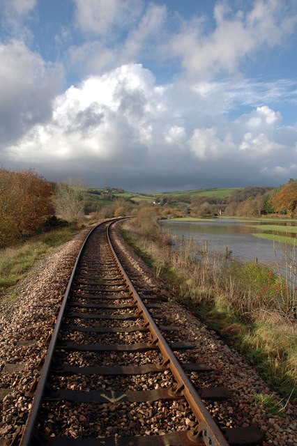
Umberleigh
Umberleigh is a former large manor within the historic hundred of (North) Tawton, but today a small village in North Devon in England. It used to be an...

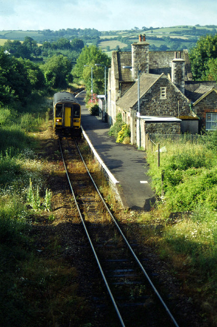
Umberleigh railway station
Umberleigh railway station serves the village of Umberleigh in Devon, England. It is on the Tarka Line to Barnstaple, 33 miles 22 chains (53.6 km) from...

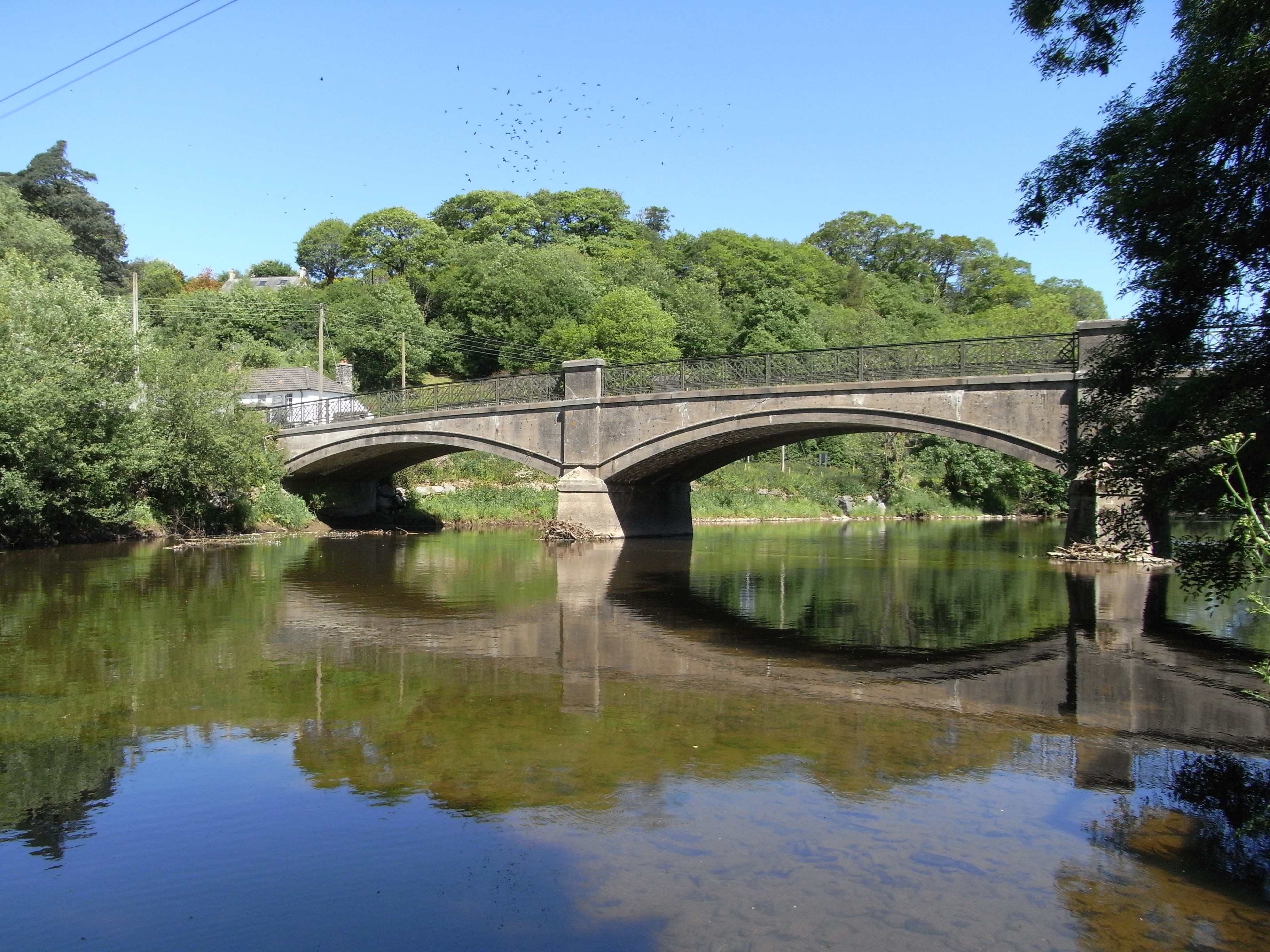
High Bickington
High Bickington is a rural village and civil parish in the Torridge district of Devon, England. The village lies on the B3217 road, around 6 miles (10...
Nearby Amenities
Located within 500m of 50.984219,-3.9796743Have you been to Brightley Wood?
Leave your review of Brightley Wood below (or comments, questions and feedback).