Highermoor Copse

Wood, Forest in Devon North Devon

England

Highermoor Copse

Umberleigh Station An early morning train to Barnstaple calls at this rural halt.
Umberleigh Station Credit: Stephen McKay

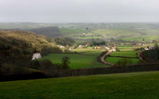
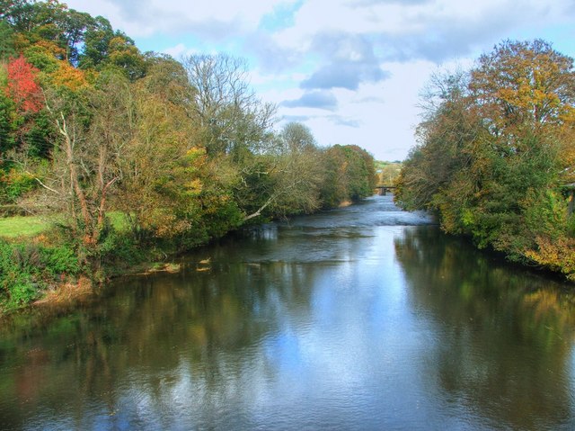
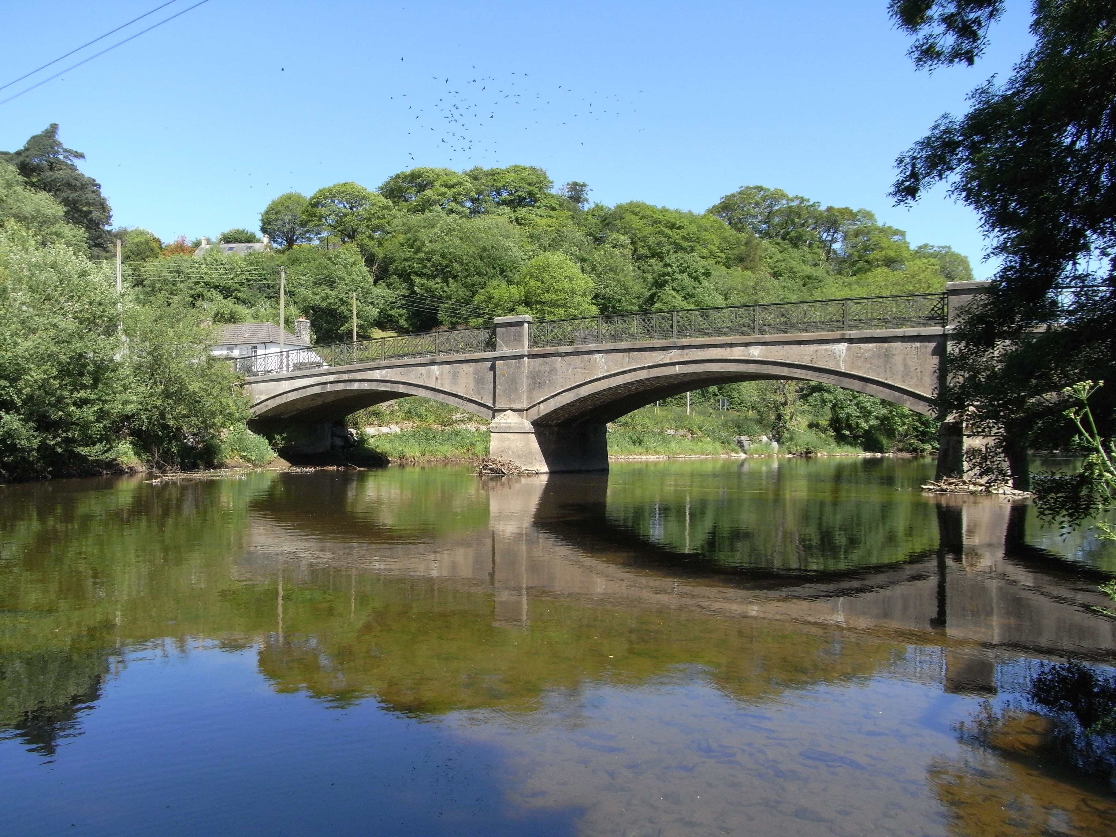
Highermoor Copse is a picturesque woodland located in Devon, England. Covering an area of approximately 100 acres, it is nestled in the heart of the county, surrounded by rolling hills and meandering streams.

The copse is predominantly composed of native broadleaf trees, including oak, beech, and ash, which create a dense and lush canopy. These trees provide a habitat for a diverse range of wildlife, including various species of birds, small mammals, and insects.

Visitors to Highermoor Copse can explore its well-maintained network of footpaths, which wind through the woodland, allowing for peaceful walks and nature observation. The paths are lined with wildflowers during the spring and summer months, adding bursts of color to the green landscape.

The copse also features a small pond, which attracts water-loving creatures such as frogs, newts, and dragonflies. In addition, there are several clearings within the woodland, offering tranquil spots for picnics or simply enjoying the serenity of nature.

Highermoor Copse is a popular destination for nature enthusiasts, hikers, and families seeking a peaceful retreat. The copse is open to the public year-round, providing an opportunity to experience the changing seasons and the beauty they bring to the woodland.

Overall, Highermoor Copse is a haven of natural beauty, offering a serene escape from the hustle and bustle of daily life. With its diverse flora and fauna, well-maintained paths, and peaceful atmosphere, it is a true gem of Devon's natural landscape.

If you have any feedback on the listing, please let us know in the comments section below.

Highermoor Copse Images

Images are sourced within 2km of 50.993726/-4.0117296 or Grid Reference SS5823. Thanks to Geograph Open Source API. All images are credited.

Umberleigh Station An early morning train to Barnstaple calls at this rural halt.
Umberleigh Station
An early morning train to Barnstaple calls at this rural halt.
Umberleigh Bridge The road bridge over the River Taw at Umberleigh is at the centre of the image.
Umberleigh Bridge
The road bridge over the River Taw at Umberleigh is at the centre of the image.
The River Taw at Umberleigh Taken from the Road Bridge.  The Bridge in the distance carries the railway line.
The River Taw at Umberleigh
Taken from the Road Bridge. The Bridge in the distance carries the railway line.
Mobile phone pole at Fisherton This mobile phone pole a site belonging to O2 with a joint T-Mobile installation on it stands on a small farm at Fisherton near to Atherington above the Taw Valley near Umberleigh.
There are good views south through the Taw Valley.
Mobile phone pole at Fisherton
This mobile phone pole a site belonging to O2 with a joint T-Mobile installation on it stands on a small farm at Fisherton near to Atherington above the Taw Valley near Umberleigh. There are good views south through the Taw Valley.
Umberleigh Village in Taw Valley Umberleigh is a scattered village but it is also a postal district serving several other villages. This shot shows the geographical location between a steep wooded escarpment and alluvial land. The Taw is in spate on the left and the Tarka Line railway runs into the station centre right. It is served by the A377 which runs from Exeter to Barnstaple which is hidden in trees West of the river.
Umberleigh Village in Taw Valley
Umberleigh is a scattered village but it is also a postal district serving several other villages. This shot shows the geographical location between a steep wooded escarpment and alluvial land. The Taw is in spate on the left and the Tarka Line railway runs into the station centre right. It is served by the A377 which runs from Exeter to Barnstaple which is hidden in trees West of the river.
Little Weir Farm on the slopes of the Taw Valley just north of Umberleigh.
Little Weir
Farm on the slopes of the Taw Valley just north of Umberleigh.
Little Weir Although the lane past this farm connects directly with the A377 just north of Umberleigh, vehicles are prohibited from approaching from that direction.
Little Weir
Although the lane past this farm connects directly with the A377 just north of Umberleigh, vehicles are prohibited from approaching from that direction.
Umberleigh Bridge on the River Taw
Umberleigh Bridge on the river Taw
Umberleigh Bridge on the river Taw as seen from downstream
Umberleigh Bridge on the River Taw as seen from upstream
The view upstream from Umberleigh Bridge on the river Taw
The view downstream from Umberleigh Bridge on the river Taw See also: <a href="https://www.geograph.org.uk/photo/5842538">SS6023 : Looking downstream on a particularly low River Taw at Umberleigh</a>
The view downstream from Umberleigh Bridge on the river Taw
A plaque on the downstream side of Umberleigh Bridge on the River Taw
River Taw from Umberleigh road bridge Looking downstream towards Barnstaple, with the Tarka Line railway bridge in the distance. The autumn colours along the valley are stunning this year
River Taw from Umberleigh road bridge
Looking downstream towards Barnstaple, with the Tarka Line railway bridge in the distance. The autumn colours along the valley are stunning this year
Umberleigh : A377 People walking to the North Devon Show on a busy main road.
Umberleigh : A377
People walking to the North Devon Show on a busy main road.
Thomas Grain Mill Local industry surrounded by grazing land and woodland.
Thomas Grain Mill
Local industry surrounded by grazing land and woodland.
Atherington Village and Post Office Atherington lies on a crossroads and has some very pretty buildings. It still has a Post Office and shop at the crossroads with a small car park.
Atherington Village and Post Office
Atherington lies on a crossroads and has some very pretty buildings. It still has a Post Office and shop at the crossroads with a small car park.
Show me another place!

Highermoor Copse is located at Grid Ref: SS5823 (Lat: 50.993726, Lng: -4.0117296)

Administrative County: Devon

District: North Devon

Police Authority: Devon and Cornwall

What 3 Words

///downturn.kind.picnic. Near Barnstaple, Devon

Related Wikis

Atherington, Devon

Atherington is a village and civil parish in the North Devon district of Devon, England, about 8 miles south of Barnstaple. According to the 2001 census...

Holy Trinity Chapel, Umberleigh

The Chapel of the Holy Trinity at Umberleigh is a ruinous mediaeval chapel in north Devon, England, largely demolished according to Lysons (1822) in about...

Chapelton, Devon

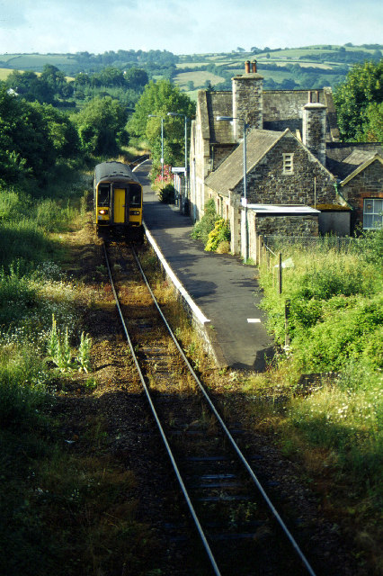
Chapelton is a hamlet in Devon. It is located in the civil parish of Tawstock. The hamlet is served by the Chapelton railway station. == References ==

Umberleigh

Umberleigh is a former large manor within the historic hundred of (North) Tawton, but today a small village in North Devon in England. It used to be an...

Nearby Amenities

Located within 500m of 50.993726,-4.0117296
Post Office
Atherington Post Office
Addr City: Umberleigh
Addr Country: GB
Addr Postcode: EX37 9HY
Addr Suburb: Atherington
Brand: Post Office
Brand Wikidata: Q1783168
Check Date: 2023-09-27
Check Date Opening Hours: 2023-09-27
Opening Hours: Th 09:00-12:00
Ref Pol Id: 176028
Website: https://www.postoffice.co.uk/branch-finder/0154709/atherington
Lat/Long: 50.9897338/-4.008716
Atherington
Place: village
Source: OS_OpenData_StreetView
Lat/Long: 50.9898797/-4.0089633
Historic: memorial
Memorial: war_memorial
Lat/Long: 50.9899456/-4.0088916
Defibrillator
Emergency: defibrillator
Indoor: no
Lat/Long: 50.9900143/-4.0092644
Generator Method: photovoltaic
Generator Output Electricity: yes
Generator Source: solar
Generator Type: solar_photovoltaic_panel
Location: roof
Power: generator
Lat/Long: 50.9973673/-4.0120214
Generator Method: photovoltaic
Generator Output Electricity: yes
Generator Source: solar
Generator Type: solar_photovoltaic_panel
Location: roof
Power: generator
Lat/Long: 50.9973614/-4.0119959
Generator Method: photovoltaic
Generator Output Electricity: yes
Generator Source: solar
Generator Type: solar_photovoltaic_panel
Location: roof
Power: generator
Lat/Long: 50.9902819/-4.0072672
Generator Method: photovoltaic
Generator Output Electricity: yes
Generator Source: solar
Generator Type: solar_photovoltaic_panel
Location: roof
Power: generator
Lat/Long: 50.9897965/-4.010172
Power: pole
Source: bing
Transformer: distribution
Lat/Long: 50.9906534/-4.0068488
Power: pole
Source: bing
Lat/Long: 50.9911886/-4.0070218
Power: pole
Source: bing
Lat/Long: 50.9918402/-4.0072243
Power: pole
Source: bing
Lat/Long: 50.9925316/-4.0074509
Power: pole
Source: bing
Lat/Long: 50.9933369/-4.0077138
Power: pole
Source: bing
Lat/Long: 50.9951128/-4.0082905
Power: pole
Source: bing
Lat/Long: 50.9940662/-4.0079579
Power: pole
Source: bing
Lat/Long: 50.9958581/-4.0085506
Power: pole
Source: bing
Lat/Long: 50.996622/-4.0094063
Power: pole
Source: bing
Lat/Long: 50.9972263/-4.0100956
Power: pole
Source: bing
Lat/Long: 50.9979995/-4.0109552
Telephone
Booth: K6
Covered: booth
Listed Status: Grade II
Lat/Long: 50.9901332/-4.0093538
The data included in this document is from www.openstreetmap.org. The data is made available under ODbL.

Have you been to Highermoor Copse?

Leave your review of Highermoor Copse below (or comments, questions and feedback).