Preston Wood
Wood, Forest in Devon South Hams
England
Preston Wood
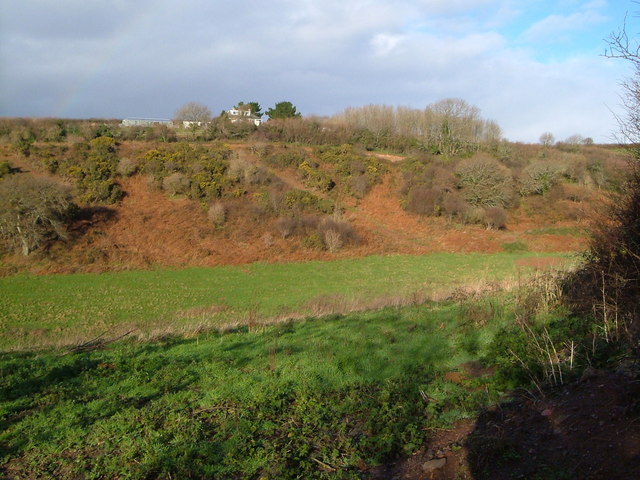
Preston Wood is a small village located in the county of Devon, England. Nestled amidst the picturesque landscapes of the Devonshire countryside, this charming village is known for its abundant woodlands and lush forests, which have lent it the alternative names of Devon Wood or Forest.
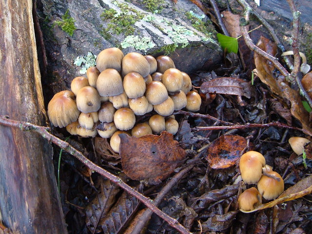
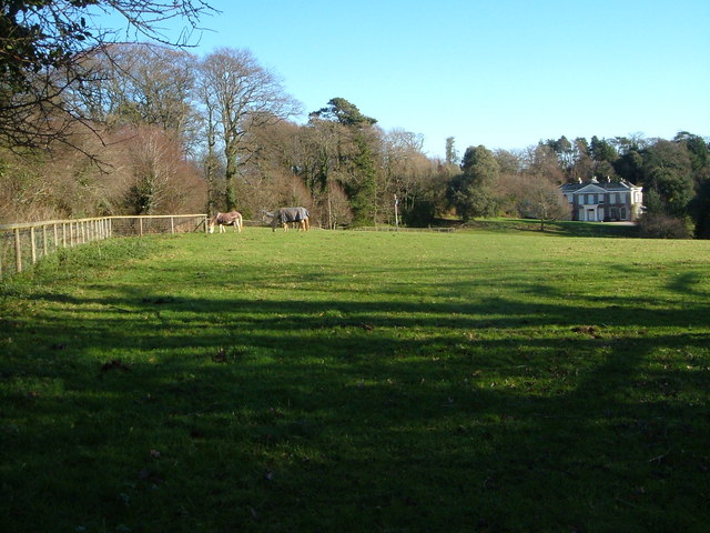
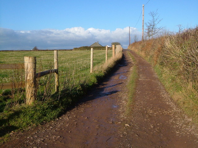
The village is home to a close-knit community of approximately 500 residents, who enjoy a peaceful and idyllic lifestyle. The surrounding woodlands not only provide a stunning backdrop but also attract nature enthusiasts and outdoor adventurers. Visitors can explore the various walking trails that wind through the woods, offering breathtaking views of the countryside and opportunities to spot local wildlife.
Preston Wood features a quaint village center, characterized by traditional cottages and stone houses that exude a rustic charm. The village is known for its welcoming community spirit, with regular social events and gatherings that bring residents together. The village also boasts a local pub, a focal point for socializing and enjoying a refreshing drink or traditional British meal.
Despite its tranquil setting, Preston Wood benefits from its proximity to nearby towns and amenities. The village is conveniently located within a short drive of larger towns, where residents can access a range of services, shops, and schools. This makes it an ideal location for those seeking a serene rural lifestyle while still having access to urban conveniences.
In summary, Preston Wood, Devon is a delightful village that offers a tranquil retreat in the heart of the Devonshire countryside. With its lush forests, friendly community, and convenient location, it is a place that captures the essence of rural England.
If you have any feedback on the listing, please let us know in the comments section below.
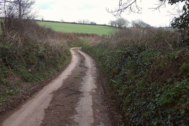
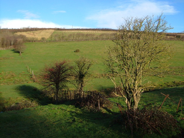
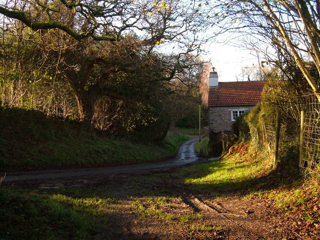
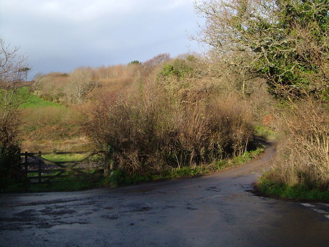
Preston Wood Images
Images are sourced within 2km of 50.328466/-3.9915572 or Grid Reference SX5849. Thanks to Geograph Open Source API. All images are credited.


Preston Wood is located at Grid Ref: SX5849 (Lat: 50.328466, Lng: -3.9915572)
Administrative County: Devon
District: South Hams
Police Authority: Devon and Cornwall
What 3 Words
///culminate.pushing.obviously. Near Yealmpton, Devon
Nearby Locations
Related Wikis

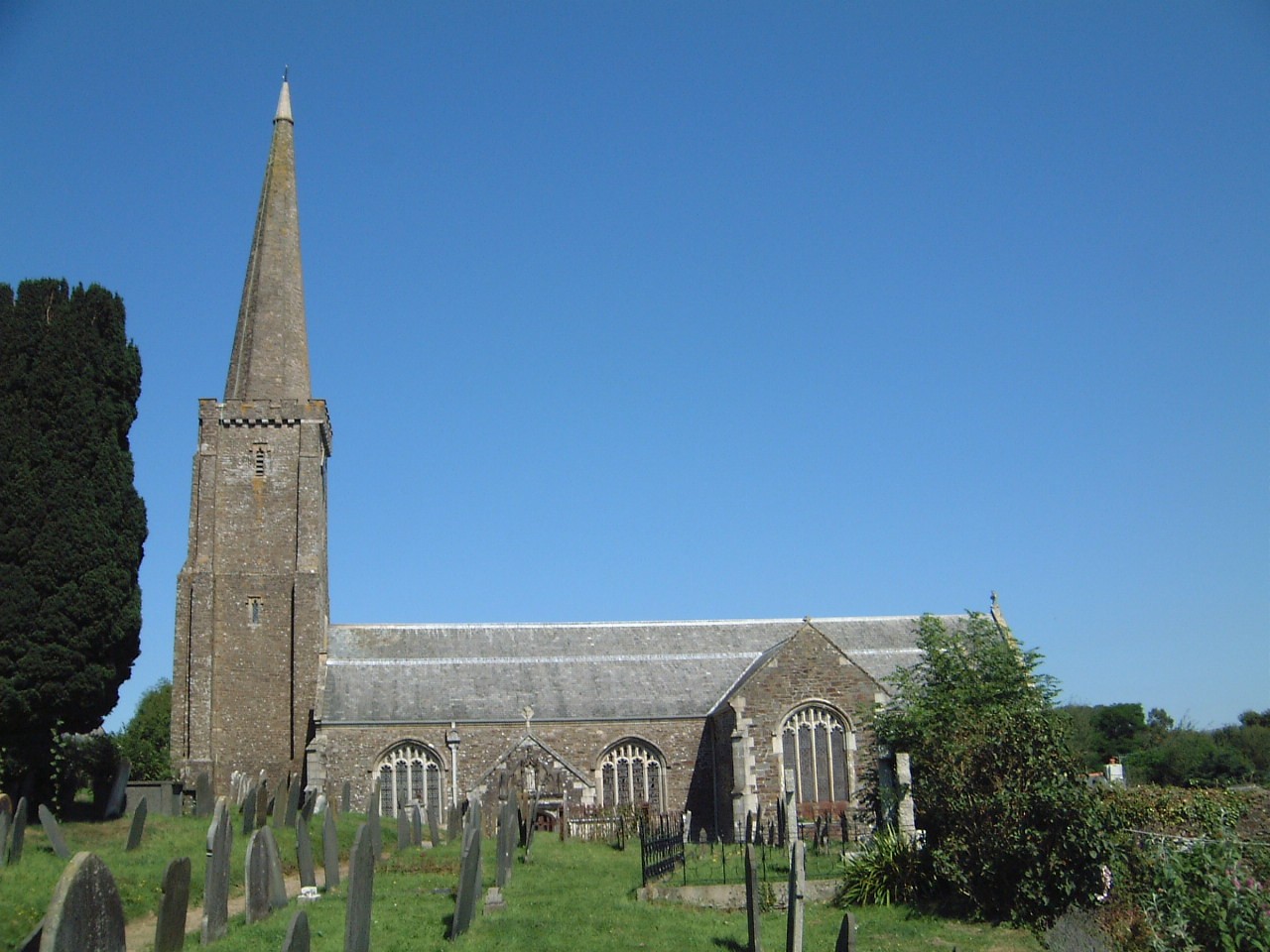
Yealmpton
Yealmpton () is a village and civil parish in the English county of Devon. It is located in the South Hams on the A379 Plymouth to Kingsbridge road and...

Puslinch, Devon
Puslinch is a small but ancient rural locality to the south of Yealmpton village in the South Hams district of the county of Devon, England. The name Puslich...

Battisborough Cross
Battisborough Cross is a village in the parish of Holbeton near Plymouth on the south coast of Devon, England . It is within the South Devon Area of Outstanding...
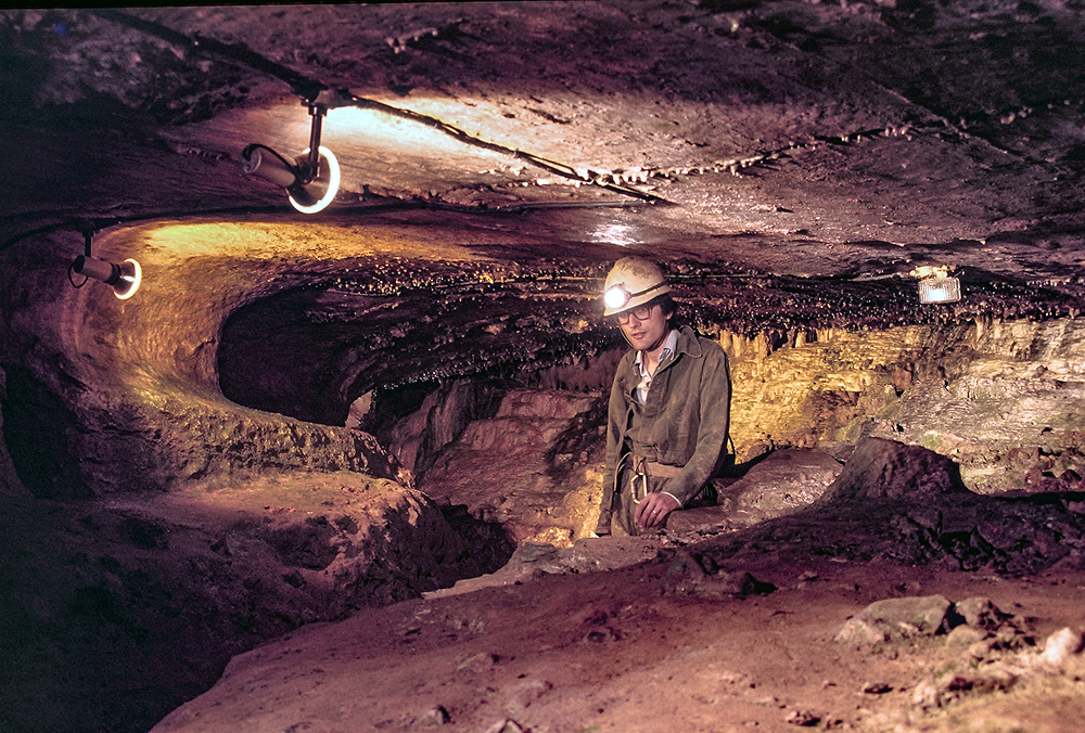
Kitley Show Cave
Kitley Show Cave is a solution cave in Yealmpton, Devon, England. Originally discovered by quarrying, it used to be open to the public as a show cave,...

Yealmpton railway station
Yealmpton station was a stone built railway station in Devon, England, and was the terminus of the Plymouth to Yealmpton Branch built to the south and...
Holbury, Holbeton
Holbury is an Iron Age hill fort situated close to Holbeton in Devon, England. The fort is situated on a hilltop east of the Village approximately 95 metres...
Holbeton
Holbeton is a civil parish and village located 9 miles south east of Plymouth in the South Hams district of Devon, England. At the 2001 census the parish...

Stamford Fort
Stamford Fort is a 19th-century fort, built as a result of the Royal Commission on National Defence of 1859. Part of an extensive scheme known as Palmerston...
Nearby Amenities
Located within 500m of 50.328466,-3.9915572Have you been to Preston Wood?
Leave your review of Preston Wood below (or comments, questions and feedback).