America Plantation

Wood, Forest in Devon North Devon

England

America Plantation

Yarnscombe: Buck’s Mill, Langley Bridge Now a farm, at some time in the past a watermill stood here or nearby
Yarnscombe: Buck’s Mill, Langley Bridge Credit: Martin Bodman

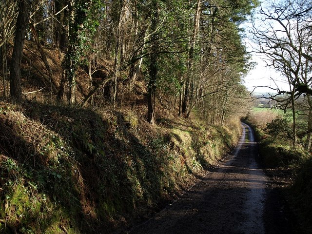
America Plantation, also known as America Wood or America Forest, is a historic woodland located in the county of Devon, England. Situated near the village of Woodbury, the plantation covers an area of approximately 50 acres and is known for its diverse range of plant species and rich natural beauty.

The plantation dates back several centuries and has a significant historical importance. Originally used for timber production, America Plantation played a crucial role in supplying wood for various industries, including shipbuilding during the naval expansion of the British Empire.

Today, America Plantation is primarily preserved as a nature reserve and is managed by local conservation organizations. The woodland boasts a mix of broadleaf and coniferous trees, including oak, beech, and Douglas fir, creating a diverse and vibrant ecosystem.

The plantation offers a tranquil and picturesque setting for visitors to explore. It features well-maintained footpaths and trails that wind through the woodland, allowing visitors to immerse themselves in the beauty of nature. The plantation is also home to a variety of wildlife, including deer, squirrels, and a wide range of bird species, making it a popular destination for nature enthusiasts and birdwatchers.

In addition to its natural beauty, America Plantation provides educational opportunities for visitors. Interpretive signs and information boards are placed throughout the woodland, providing valuable insights into the history, ecology, and conservation efforts of the plantation.

Overall, America Plantation in Devon is a cherished natural and historical treasure, offering a peaceful retreat and valuable educational experience for anyone who visits.

If you have any feedback on the listing, please let us know in the comments section below.

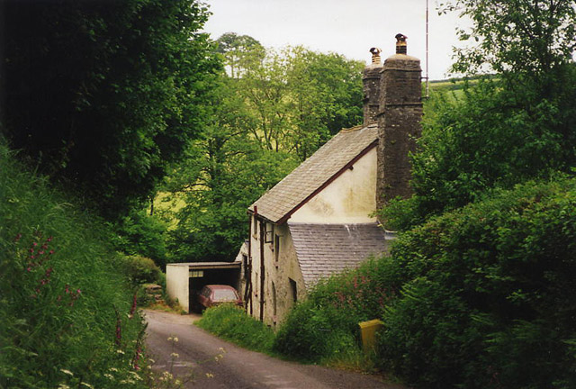
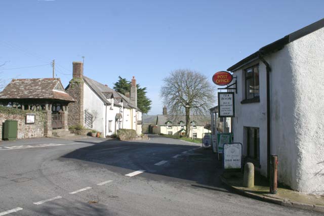
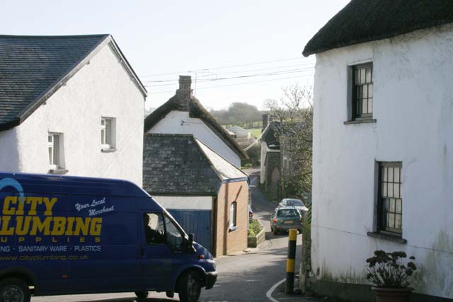
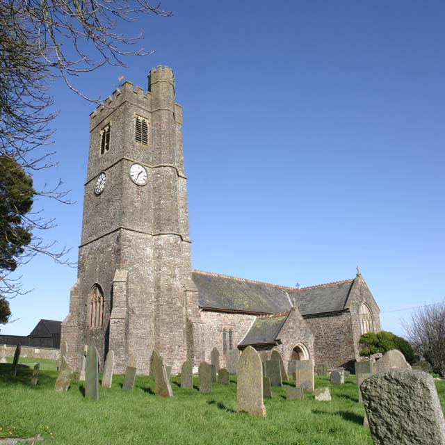
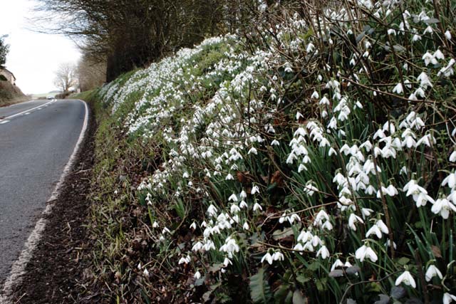
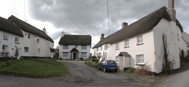
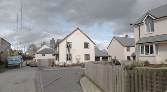
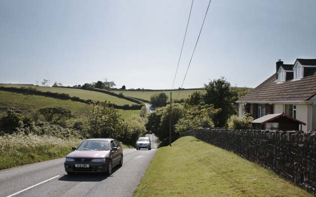
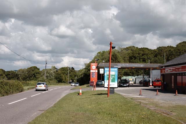
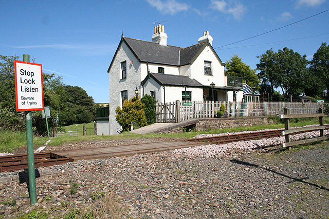
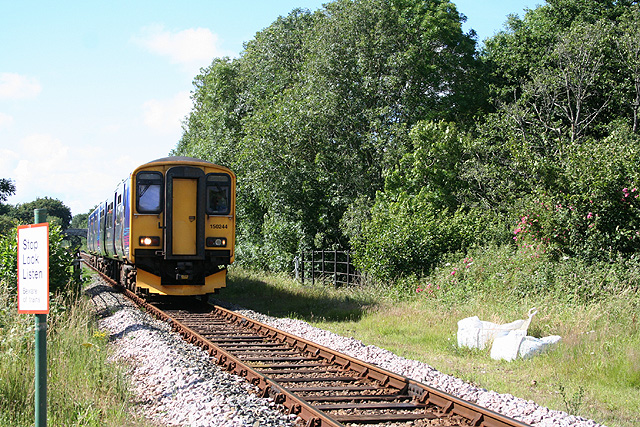
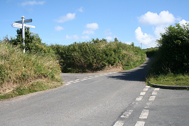
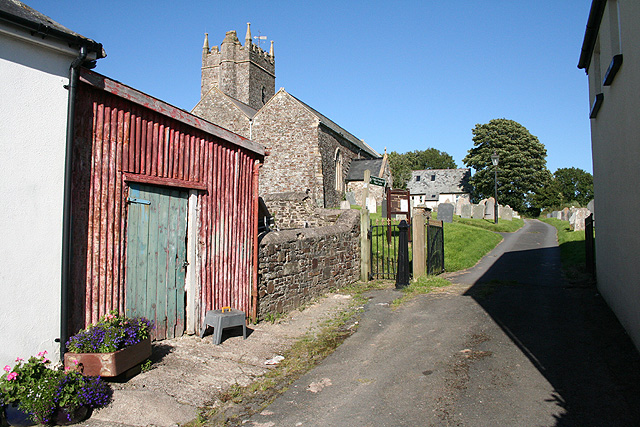
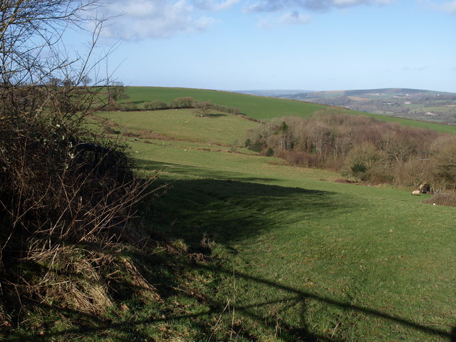
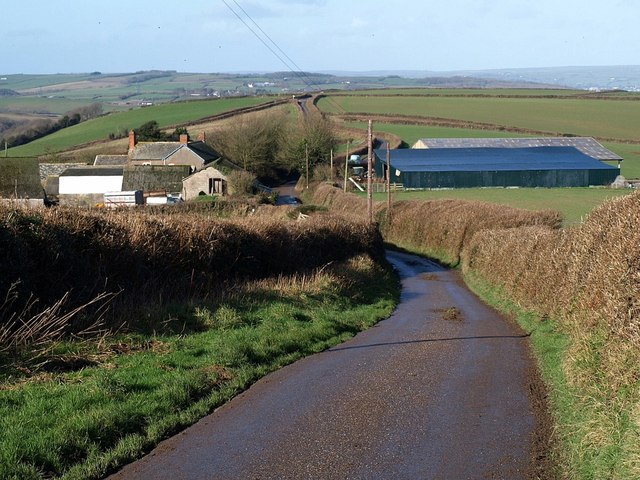
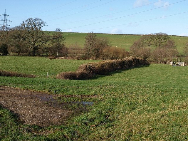
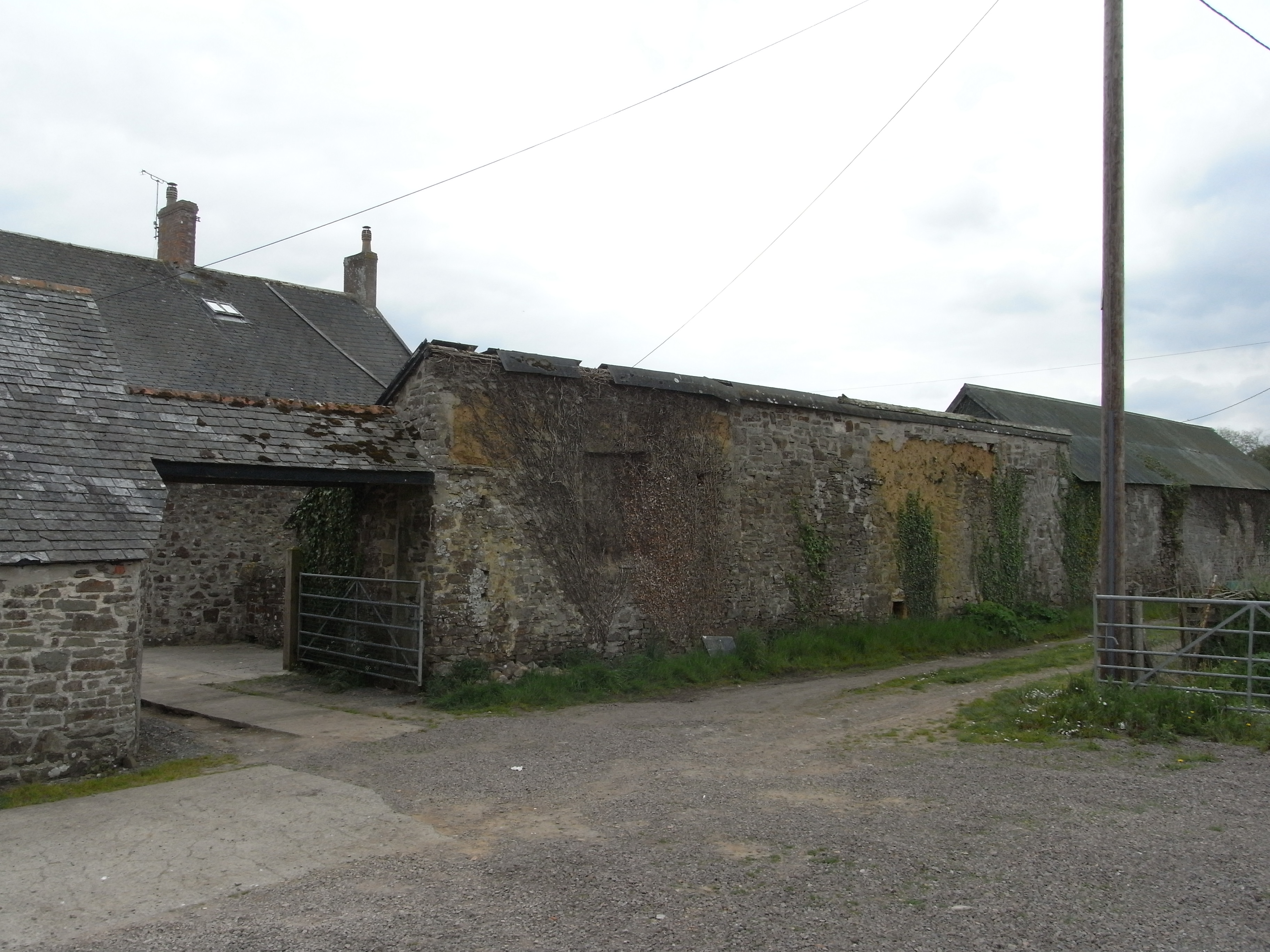
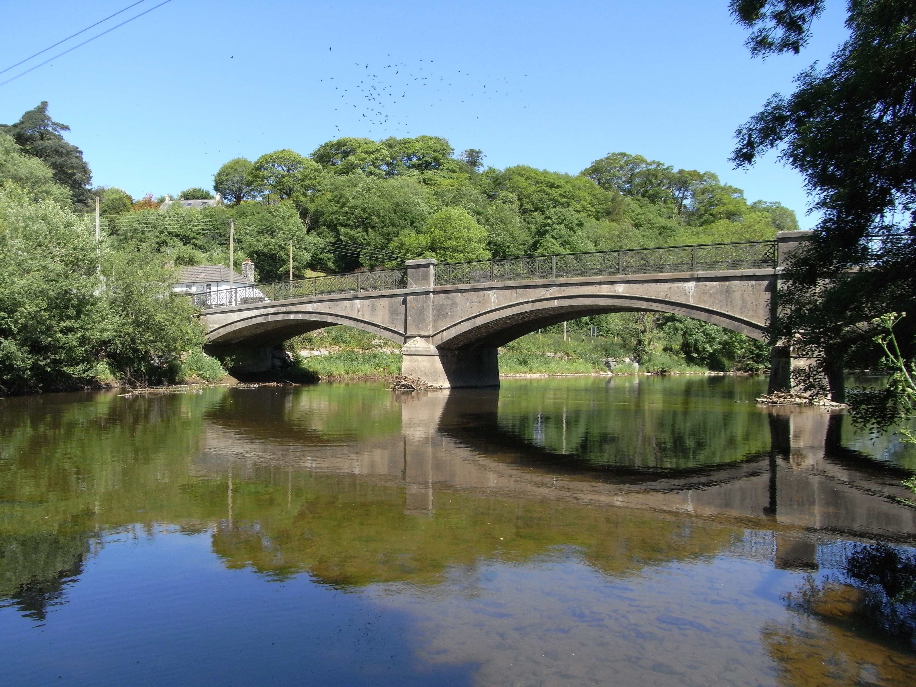
America Plantation Images

Images are sourced within 2km of 50.999507/-4.0258901 or Grid Reference SS5724. Thanks to Geograph Open Source API. All images are credited.

Yarnscombe: Buck’s Mill, Langley Bridge Now a farm, at some time in the past a watermill stood here or nearby
Yarnscombe: Buck’s Mill, Langley Bridge
Now a farm, at some time in the past a watermill stood here or nearby
Atherington Village and Post Office Atherington lies on a crossroads and has some very pretty buildings. It still has a Post Office and shop at the crossroads with a small car park.
Atherington Village and Post Office
Atherington lies on a crossroads and has some very pretty buildings. It still has a Post Office and shop at the crossroads with a small car park.
Traffic in Atherington This illustrates a problem shared by many rural villages. The roads were not built with modern traffic in mind. This is the B3217 beside Atherington Post Office which is part of the direct route between Winkleigh and Barnstaple and regularly carries large articulated lorries on single track roads like this. Photographs were taken of a large articulated lorry on this road which had to reverse to negotiate the corner, but this photograph was submitted instead as the lorry blocked out everything else.
Traffic in Atherington
This illustrates a problem shared by many rural villages. The roads were not built with modern traffic in mind. This is the B3217 beside Atherington Post Office which is part of the direct route between Winkleigh and Barnstaple and regularly carries large articulated lorries on single track roads like this. Photographs were taken of a large articulated lorry on this road which had to reverse to negotiate the corner, but this photograph was submitted instead as the lorry blocked out everything else.
St Mary's Church, Atherington St Mary's is easily recognised from a distance by the turret on its tower.
St Mary's Church, Atherington
St Mary's is easily recognised from a distance by the turret on its tower.
Wild Snowdrops on the A377 This spectacular bank of the wild Snowdrop (Galanthus nivalis) is near Umberleigh House on the verge of the A377 County Road between Exeter and Barnstaple.
Wild Snowdrops on the A377
This spectacular bank of the wild Snowdrop (Galanthus nivalis) is near Umberleigh House on the verge of the A377 County Road between Exeter and Barnstaple.
Traditional Houses in Atherington A group of thatched houses in the South of Atherington Village on the West side of the B3217.
Traditional Houses in Atherington
A group of thatched houses in the South of Atherington Village on the West side of the B3217.
Modern Houses in Atherington Recently built houses in the South of Atherington Village on the East side of the B3217. Note this image joins up exactly with "Traditional Houses in Atherington" to form a panorama either side of the B3217.
Modern Houses in Atherington
Recently built houses in the South of Atherington Village on the East side of the B3217. Note this image joins up exactly with "Traditional Houses in Atherington" to form a panorama either side of the B3217.
Sharp Valley in Road at Eastacombe Not as deep as the road valley at Langridgeford, but another sharp "dip" in the B3227.
Sharp Valley in Road at Eastacombe
Not as deep as the road valley at Langridgeford, but another sharp "dip" in the B3227.
Fishleigh Rock Garage The Murco Garage and Shop at Fishleigh Rock on the A377 near Umberleigh has a well stocked grocery. The next filling station is at Lapford, about 18 miles further on.
Fishleigh Rock Garage
The Murco Garage and Shop at Fishleigh Rock on the A377 near Umberleigh has a well stocked grocery. The next filling station is at Lapford, about 18 miles further on.
Tawstock: Chapelton Station The station house is now a private residence; its platform no longer in use. Passengers use a second platform this side of the track. The crossing leads to a footbridge over the Taw and on to Herner and Yeotown
Tawstock: Chapelton Station
The station house is now a private residence; its platform no longer in use. Passengers use a second platform this side of the track. The crossing leads to a footbridge over the Taw and on to Herner and Yeotown
Tawstock: train on the Tarka Line Approaching, but not stopping, at Chapelton Station: a train from Barnstaple to Exeter crossing a bridge over the Langham Lake, a tributary of the river Taw.
Tawstock: train on the Tarka Line
Approaching, but not stopping, at Chapelton Station: a train from Barnstaple to Exeter crossing a bridge over the Langham Lake, a tributary of the river Taw.
Atherington: Langley Cross The road ahead leads to Langridgeford and on to High Bickington. It marks the parish boundary with Yarnscombe. Looking south east
Atherington: Langley Cross
The road ahead leads to Langridgeford and on to High Bickington. It marks the parish boundary with Yarnscombe. Looking south east
Yarnscombe: by St Andrew’s church Looking east
Yarnscombe: by St Andrew’s church
Looking east
Valley near Atherington The head of the valley of a tributary of the Taw, whose valley can be seen in the right background. The wood in the valley floor is Moor Copse. Seen from the lane between Atherington and Christmas Close.
Valley near Atherington
The head of the valley of a tributary of the Taw, whose valley can be seen in the right background. The wood in the valley floor is Moor Copse. Seen from the lane between Atherington and Christmas Close.
Wanhill The farm is on a ridge between two valleys running north towards the Taw, and on a slight saddle. The lane, which is from Langridge, continues past a junction at Brown's Hill Head on the next rise, towards Chapelton.
Wanhill
The farm is on a ridge between two valleys running north towards the Taw, and on a slight saddle. The lane, which is from Langridge, continues past a junction at Brown's Hill Head on the next rise, towards Chapelton.
Langham Lake valley Langham Lake gathers together a number of streams before meeting the Taw some 600 metres below this spot. Left of centre, a footbridge across the stream can be partly seen. The pylon line runs between sub-stations at Fideoak near Taunton, and nearby Alverdiscott. Seen from the lane between Langridge and Chapelton, near Birbrook.
Langham Lake valley
Langham Lake gathers together a number of streams before meeting the Taw some 600 metres below this spot. Left of centre, a footbridge across the stream can be partly seen. The pylon line runs between sub-stations at Fideoak near Taunton, and nearby Alverdiscott. Seen from the lane between Langridge and Chapelton, near Birbrook.
Horestone Copse A small wood riddled with quarries, and currently with snowdrops in bloom, on the valley side of the River Taw. The lane is between Herner and Hawkridge Cross.
Horestone Copse
A small wood riddled with quarries, and currently with snowdrops in bloom, on the valley side of the River Taw. The lane is between Herner and Hawkridge Cross.
Taw valley near Horestone Apiary The flood plain, some 700 metres wide here, is about 10 metres above sea level. Small lakes have formed in an abandoned stretch of the river bed on the left. The woodland across the field is a narrow belt occupying a steep section of valley side, doubtless a former river cliff. The pylon is close to the Tarka railway line, which runs along the dark embankment with bushes. View, over a hedge, from the lane between Herner and Hawkridge Cross.
Taw valley near Horestone Apiary
The flood plain, some 700 metres wide here, is about 10 metres above sea level. Small lakes have formed in an abandoned stretch of the river bed on the left. The woodland across the field is a narrow belt occupying a steep section of valley side, doubtless a former river cliff. The pylon is close to the Tarka railway line, which runs along the dark embankment with bushes. View, over a hedge, from the lane between Herner and Hawkridge Cross.
Show me another place!

America Plantation is located at Grid Ref: SS5724 (Lat: 50.999507, Lng: -4.0258901)

Administrative County: Devon

District: North Devon

Police Authority: Devon and Cornwall

What 3 Words

///tutorial.fits.grass. Near Barnstaple, Devon

Related Wikis

Chapelton, Devon

Chapelton is a hamlet in Devon. It is located in the civil parish of Tawstock. The hamlet is served by the Chapelton railway station. == References ==

Holy Trinity Chapel, Umberleigh

The Chapel of the Holy Trinity at Umberleigh is a ruinous mediaeval chapel in north Devon, England, largely demolished according to Lysons (1822) in about...

Atherington, Devon

Atherington is a village and civil parish in the North Devon district of Devon, England, about 8 miles south of Barnstaple. According to the 2001 census...

Chapelton railway station

Chapelton railway station serves the hamlet of Chapelton, part of the civil parish of Tawstock in the English county of Devon. It is a rural station on...

Yarnscombe

Yarnscombe is a small village and parish in the Torridge area of Devon, England. It is situated approximately 5 miles (8 km) from Great Torrington and...

Umberleigh

Umberleigh is a former large manor within the historic hundred of (North) Tawton, but today a small village in North Devon in England. It used to be an...

Umberleigh railway station

Umberleigh railway station serves the village of Umberleigh in Devon, England. It is on the Tarka Line to Barnstaple, 33 miles 22 chains (53.6 km) from...

Hall, Bishop's Tawton

Hall is a large estate within the parish and former manor of Bishop's Tawton, Devon. It was for several centuries the seat of a younger branch of the prominent...

Nearby Amenities

Located within 500m of 50.999507,-4.0258901
Ford: yes
Lat/Long: 51.0028446/-4.024672
Generator Method: photovoltaic
Generator Output Electricity: yes
Generator Source: solar
Generator Type: solar_photovoltaic_panel
Location: roof
Power: generator
Lat/Long: 50.9990022/-4.0320709
Generator Method: photovoltaic
Generator Output Electricity: yes
Generator Source: solar
Generator Type: solar_photovoltaic_panel
Location: roof
Power: generator
Lat/Long: 50.9991043/-4.0314755
Power: pole
Source: bing
Transformer: distribution
Lat/Long: 50.9992748/-4.0317598
Power: pole
Source: bing
Lat/Long: 50.9999449/-4.0311684
Power: pole
Source: bing
Lat/Long: 51.0007534/-4.0315975
Power: pole
Source: bing
Lat/Long: 51.0023038/-4.0306641
Power: pole
Source: bing
Lat/Long: 51.0015037/-4.0311442
Power: pole
Source: bing
Lat/Long: 51.0035629/-4.0286069
Power: pole
Source: bing
Lat/Long: 51.003546/-4.0275836
Power: pole
Source: bing
Lat/Long: 51.0035384/-4.026437
Power: pole
Source: bing
Lat/Long: 51.0035266/-4.0250476
Power: pole
Source: bing
Lat/Long: 51.003222/-4.0244763
Power: pole
Source: bing
Lat/Long: 51.0031266/-4.0229219
Power: pole
Source: bing
Lat/Long: 51.0030515/-4.02179
The data included in this document is from www.openstreetmap.org. The data is made available under ODbL.

Have you been to America Plantation?

Leave your review of America Plantation below (or comments, questions and feedback).