Chilcombe
Settlement in Somerset Somerset West and Taunton
England
Chilcombe
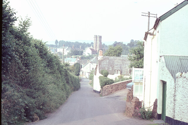
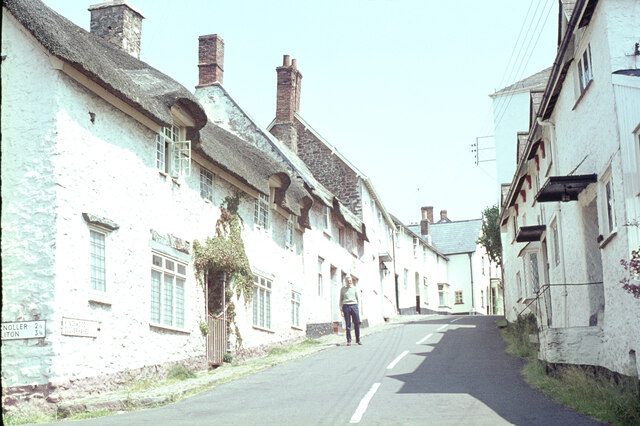
Chilcombe is a small village located in the county of Somerset, in southwestern England. It lies within the district of South Somerset, approximately 6 miles southeast of the town of Crewkerne. Nestled in the beautiful countryside, Chilcombe is surrounded by rolling hills and lush green fields, adding to its picturesque charm.
The village is home to a close-knit community, with a population of around 200 residents. It is a tranquil and peaceful place, known for its unspoiled natural beauty and traditional English village atmosphere. Chilcombe boasts a rich history, with evidence of human settlement dating back to prehistoric times.
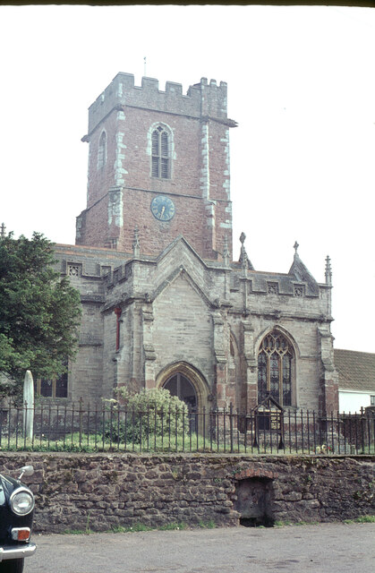
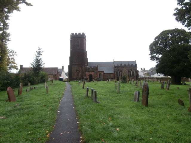
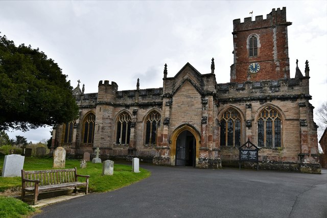
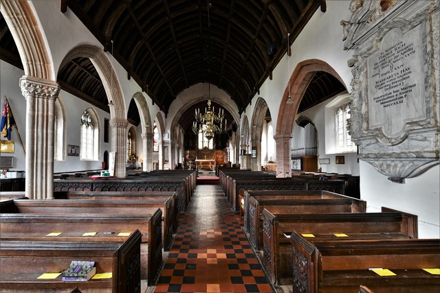
The heart of the village is its historic church, St. Mary Magdalene, which dates back to the 13th century. This beautiful Grade II listed building is a focal point for the community, hosting regular services and events. Chilcombe also has a small primary school, providing education for the local children.
The surrounding area offers plenty of opportunities for outdoor activities, with numerous walking and cycling routes crisscrossing the countryside. Chilcombe is also conveniently close to several notable attractions, including the beautiful Ham Hill Country Park and the historic town of Lyme Regis, famous for its fossils and stunning coastline.
Overall, Chilcombe is a charming and idyllic village, offering a peaceful retreat for those seeking a slower pace of life amidst the natural beauty of the Somerset countryside.
If you have any feedback on the listing, please let us know in the comments section below.
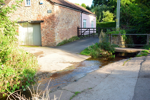
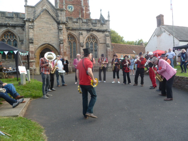
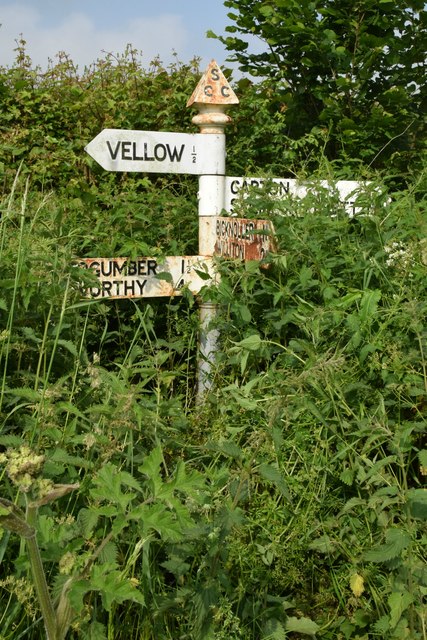
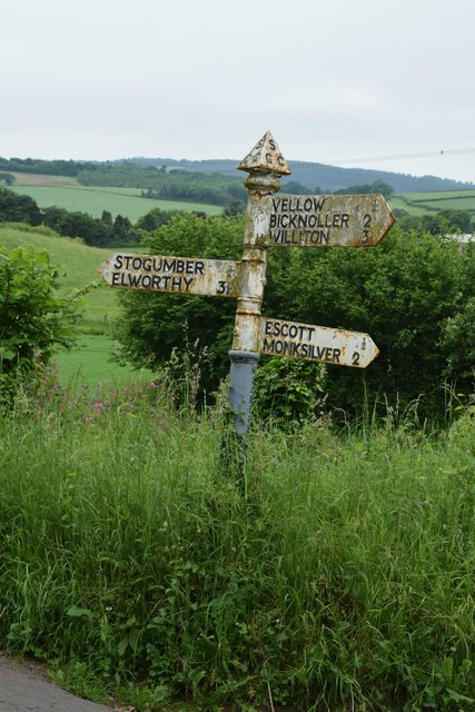
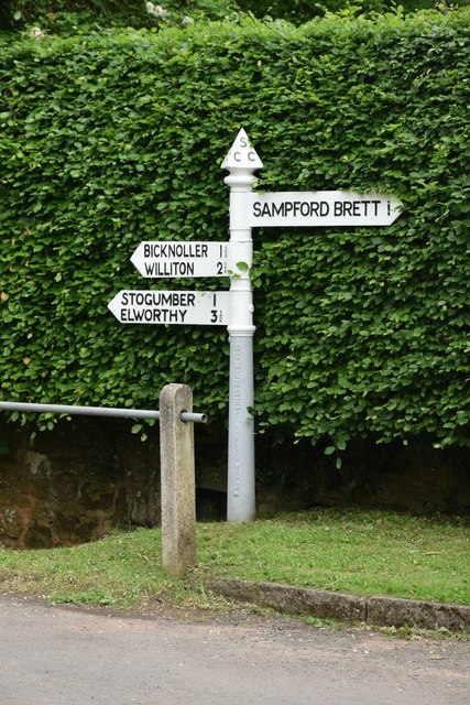
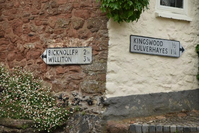
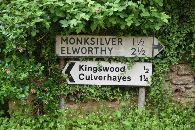
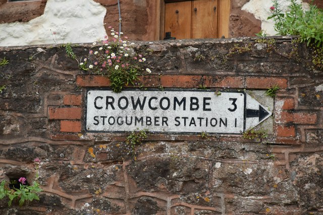
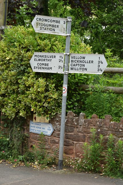
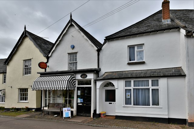
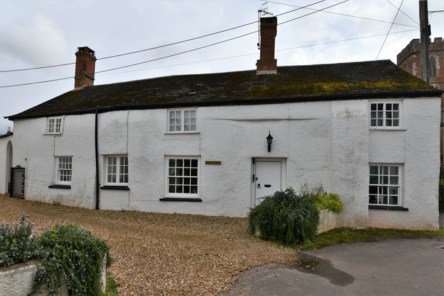
Chilcombe Images
Images are sourced within 2km of 51.134332/-3.273396 or Grid Reference ST1138. Thanks to Geograph Open Source API. All images are credited.
Chilcombe is located at Grid Ref: ST1138 (Lat: 51.134332, Lng: -3.273396)
Administrative County: Somerset
District: Somerset West and Taunton
Police Authority: Avon and Somerset
What 3 Words
///amount.developed.pools. Near Williton, Somerset
Nearby Locations
Related Wikis

Stogumber railway station
Stogumber railway station is a station in Kingswood, Somerset, England which serves the nearby village of Stogumber. It was opened by the West Somerset...

Curdon Camp
Curdon Camp is a univallate Iron Age hill fort in the West Somerset district of Somerset, England. It is a Scheduled Ancient Monument.The hill fort is...

Stogumber
Stogumber () is a village and civil parish in Somerset, England, on the eastern flank of the Brendon Hills. Besides Stogumber village itself, the parish...
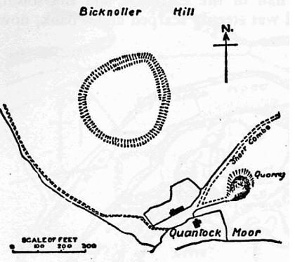
Trendle Ring
Trendle Ring (or Trundle Ring) is a late prehistoric earthwork on the Quantock Hills near Bicknoller in Somerset, England. It is a Scheduled Monument....

Bicknoller
Bicknoller is a village and civil parish on the western slopes of the Quantock Hills in the English county of Somerset. Administratively, the civil parish...

Halsway Manor
Halsway Manor (also known as Halsway Court) is a manor house in Halsway, Somerset. It is owned by the Halsway Manor Society who operate the manor as a...

Bridgwater and West Somerset (UK Parliament constituency)
Bridgwater and West Somerset is a constituency represented in the House of Commons of the UK Parliament since 2010 by Ian Liddell-Grainger, a Conservative...
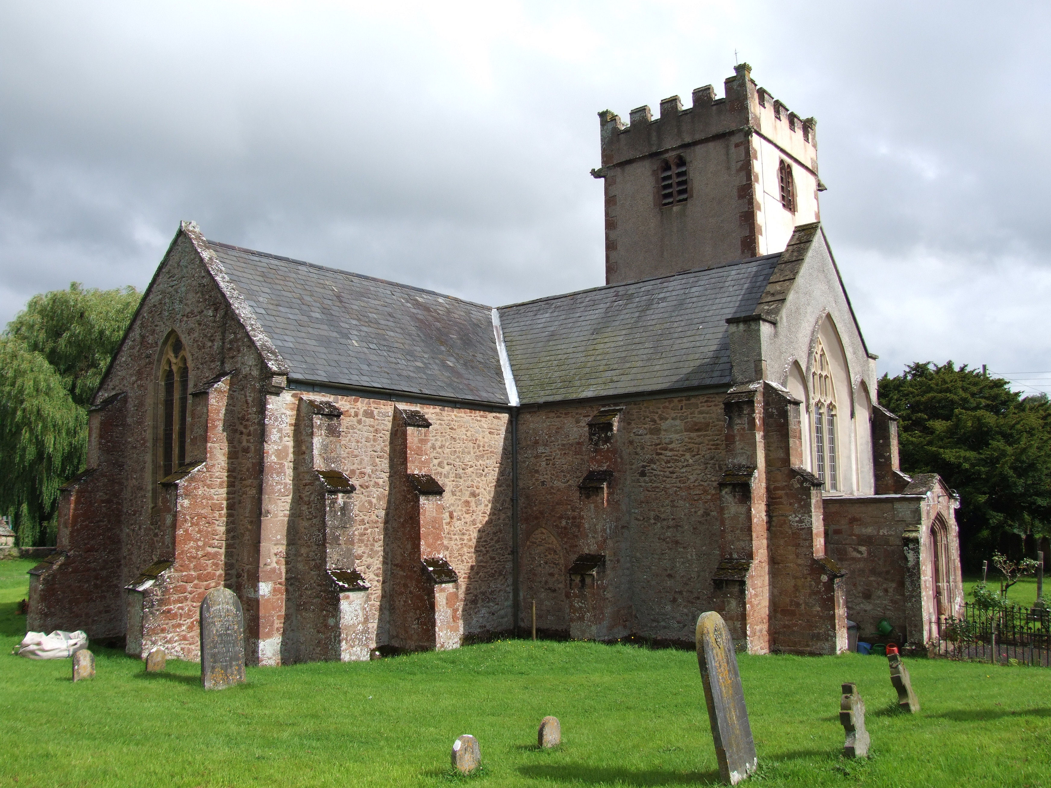
Church of St George, Sampford Brett
The Anglican Church of St George in Sampford Brett, Somerset, England was built around 1300. It is a Grade II* listed building. == History == The parish...
Nearby Amenities
Located within 500m of 51.134332,-3.273396Have you been to Chilcombe?
Leave your review of Chilcombe below (or comments, questions and feedback).