Combemeadow Plantation
Wood, Forest in Devon Torridge
England
Combemeadow Plantation
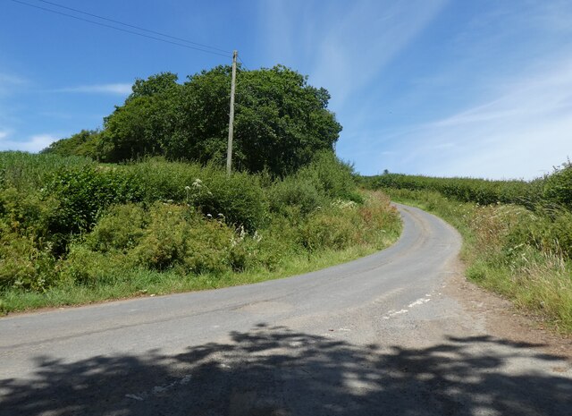
Combemeadow Plantation is a sprawling woodland area located in the county of Devon, England. Situated in the heart of the Devonshire countryside, the plantation stretches over several acres of land, encompassing a diverse range of trees, flora, and fauna.
The plantation is primarily composed of deciduous trees, including oak, beech, and birch, providing a rich canopy that offers shade and shelter to the area's wildlife. The forest floor is adorned with a carpet of vibrant wildflowers, adding to the plantation's natural beauty.
The woodland is home to a variety of wildlife, making it a haven for nature enthusiasts and birdwatchers. Visitors can spot an array of bird species, such as woodpeckers, thrushes, and owls, as well as small mammals like squirrels, rabbits, and foxes. The plantation's tranquil environment also attracts butterflies and other insects, adding to its ecological significance.
Combemeadow Plantation offers a range of recreational opportunities for visitors. Walking trails wind through the woodland, inviting hikers to explore its hidden corners and discover its natural wonders. The plantation also provides a picturesque setting for picnics, allowing visitors to relax and soak in the peaceful ambiance.
The plantation is managed by local authorities who prioritize the preservation of its natural habitat. Efforts are made to maintain the health and diversity of the woodland, ensuring the continued flourishing of its ecosystem.
Overall, Combemeadow Plantation is a captivating woodland retreat in Devon, offering an escape from the hustle and bustle of daily life and providing a sanctuary for both wildlife and visitors alike.
If you have any feedback on the listing, please let us know in the comments section below.
Combemeadow Plantation Images
Images are sourced within 2km of 50.964509/-4.0691999 or Grid Reference SS5420. Thanks to Geograph Open Source API. All images are credited.


Combemeadow Plantation is located at Grid Ref: SS5420 (Lat: 50.964509, Lng: -4.0691999)
Administrative County: Devon
District: Torridge
Police Authority: Devon and Cornwall
What 3 Words
///laces.whizzing.ketchup. Near Great Torrington, Devon
Nearby Locations
Related Wikis

St Giles in the Wood
St Giles in the Wood is a village and civil parish in the Torridge district of Devon, England. The village lies about 2.5 miles east of the town of Great...

Parish church of St Giles, St Giles in the Wood
The large parish church of St Giles, which is in the village of St Giles in the Wood, Devon, England, came into being in 1309. When it was restored in...

Belle Vue Airfield
Belle Vue Airfield (often classed as airport or heliport) is a single runway airfield about 2.5 miles (4.0 km) north east of Great Torrington in North...
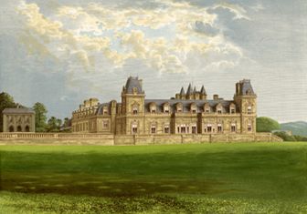
Stevenstone
Stevenstone is a former manor within the parish of St Giles in the Wood, near Great Torrington, North Devon. It was the chief seat of the Rolle family...
Nearby Amenities
Located within 500m of 50.964509,-4.0691999Have you been to Combemeadow Plantation?
Leave your review of Combemeadow Plantation below (or comments, questions and feedback).