Balls Copse

Wood, Forest in Devon Torridge

England

Balls Copse

Beaford Bridge A quiet bridge over the River Torridge.
Beaford Bridge Credit: Richard Knights

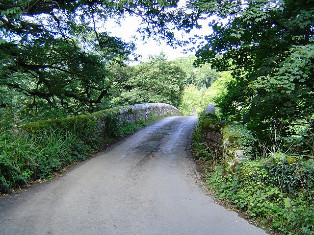
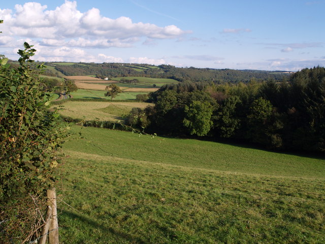
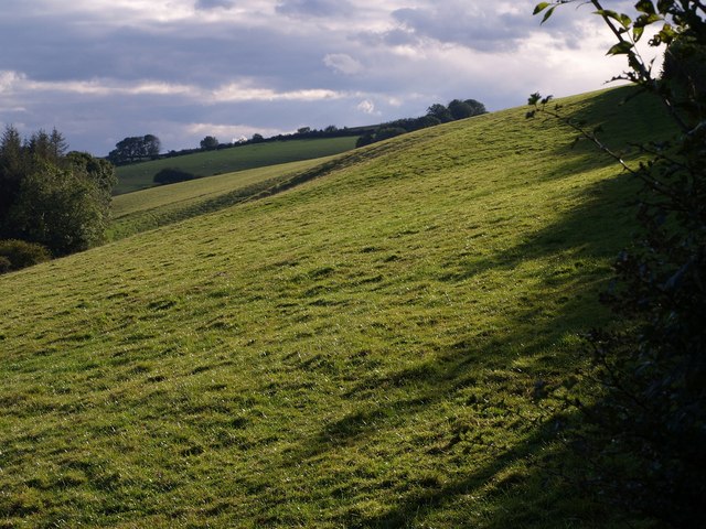
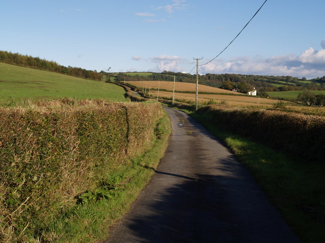
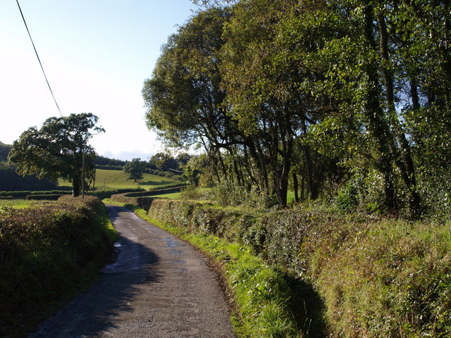
Balls Copse is a picturesque wood located in the county of Devon, England. Situated near the village of Newton Abbot, this charming forest covers an area of approximately 10 acres. It is a popular destination for nature lovers, hikers, and families looking to enjoy the great outdoors.

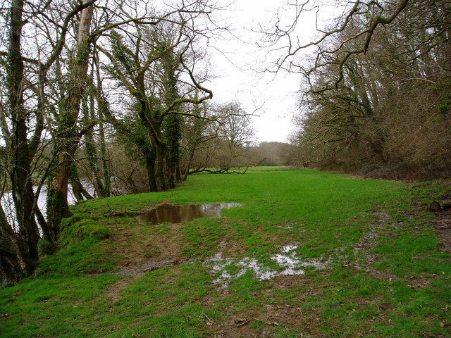
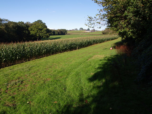
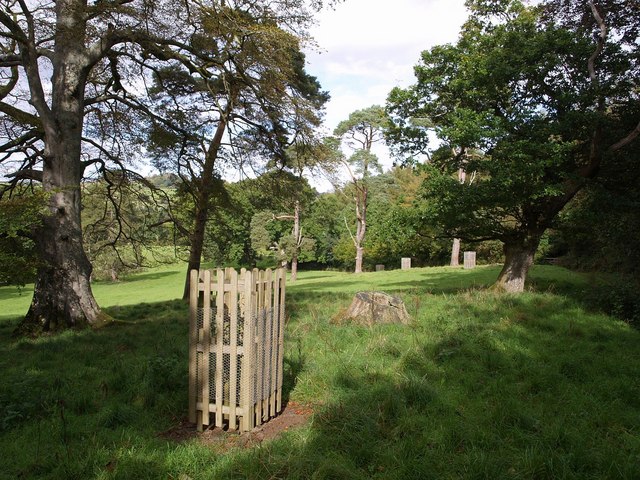
The copse is predominantly made up of broadleaf trees, including oak, beech, and ash, creating a diverse and vibrant woodland ecosystem. The dense canopy provides a welcome respite from the sun during the summer months and shelters a variety of flora and fauna. Bluebells, primroses, and wild garlic carpet the forest floor in spring, adding a splash of color to the landscape.

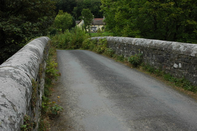
Tranquil pathways wind their way through the copse, offering visitors the opportunity to immerse themselves in nature. The soft rustling of leaves underfoot and the melodious songs of woodland birds create a serene ambiance, perfect for relaxation and contemplation.

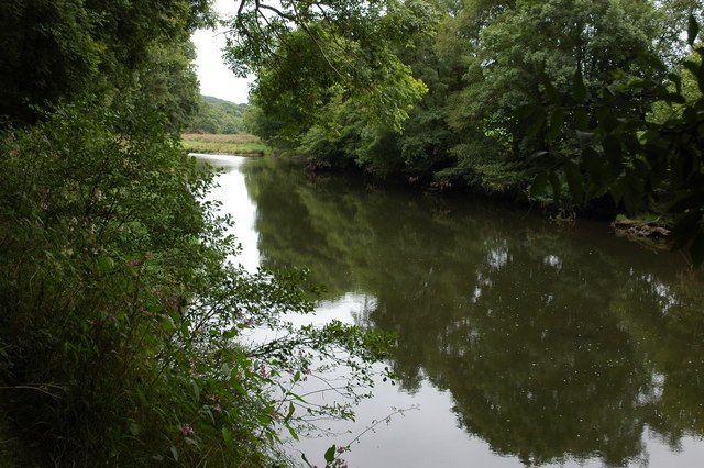
Balls Copse is also home to a small stream, meandering through the woods, enhancing the natural beauty of the surroundings. This babbling brook provides a refreshing spot for wildlife, including deer, foxes, and an array of bird species.

The copse is well-maintained, with clear signage and designated picnic areas for visitors to enjoy. It also offers educational opportunities, as information boards are strategically placed throughout the wood, providing interesting facts about the local ecosystem and wildlife.

Overall, Balls Copse is a delightful woodland retreat in Devon, offering a tranquil escape and an opportunity to reconnect with nature. Whether you are seeking a peaceful stroll, a family picnic, or a chance to observe wildlife, this charming forest is sure to captivate visitors of all ages.

If you have any feedback on the listing, please let us know in the comments section below.
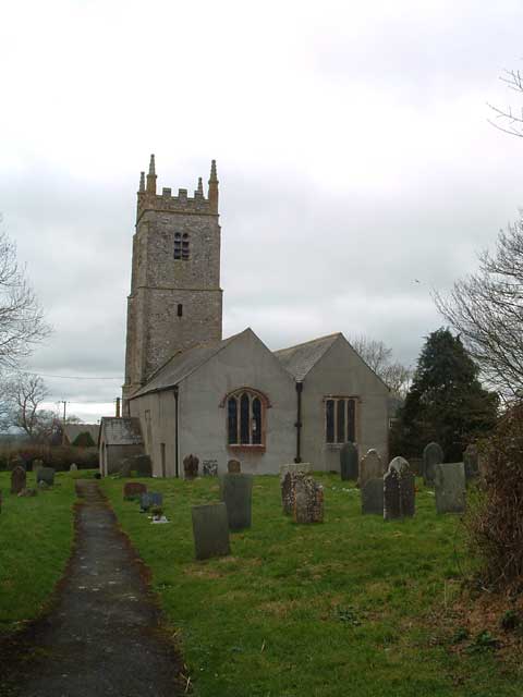
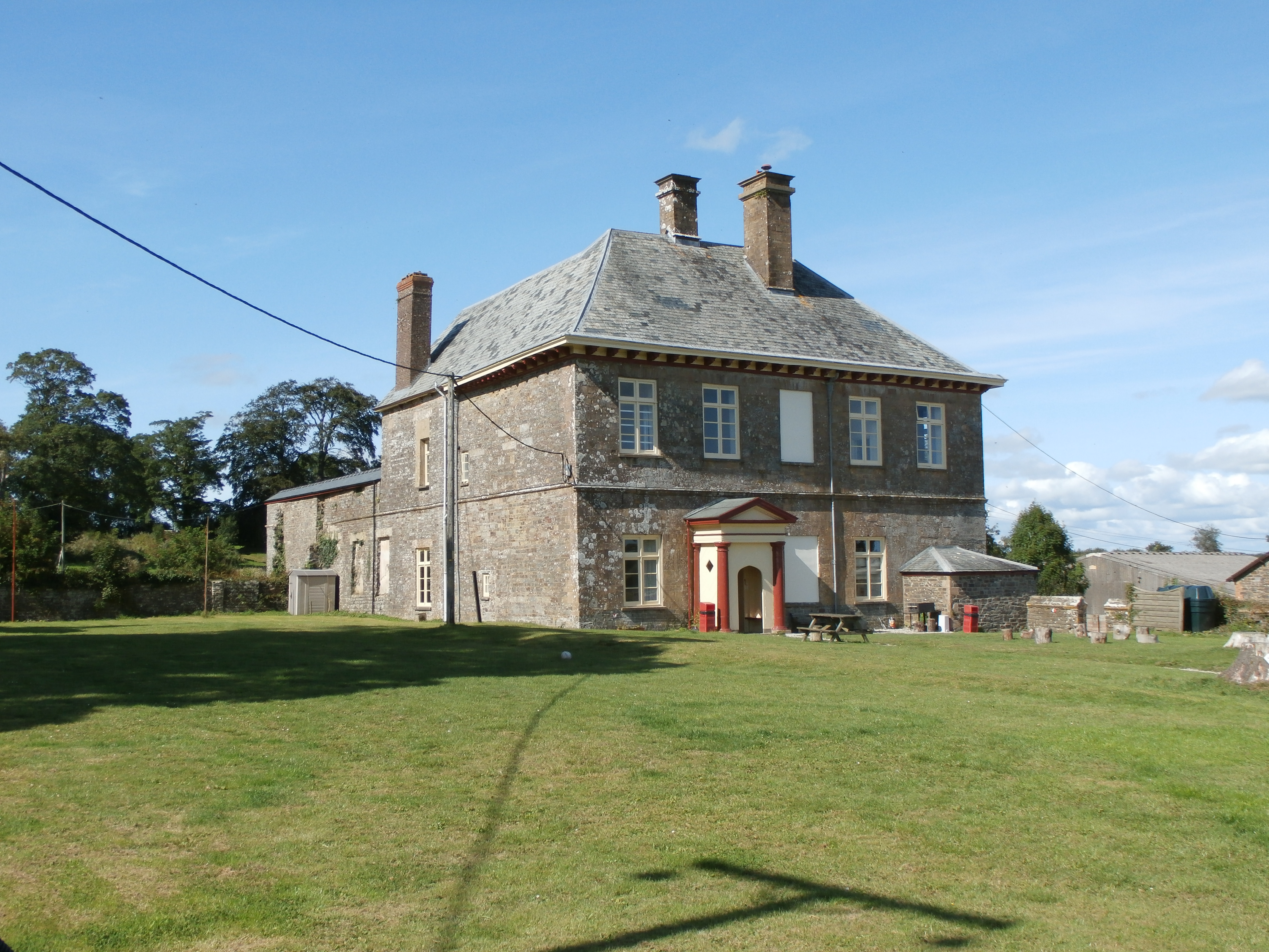
Balls Copse Images

Images are sourced within 2km of 50.900329/-4.0673196 or Grid Reference SS5413. Thanks to Geograph Open Source API. All images are credited.

Beaford Bridge A quiet bridge over the River Torridge.
Beaford Bridge
A quiet bridge over the River Torridge.
Merton: cottage by Merton Mill Cross As the signpost states, the road on the left leads to Beaford – via Balls Corner and Beaford Mill, on the river Torridge
Merton: cottage by Merton Mill Cross
As the signpost states, the road on the left leads to Beaford – via Balls Corner and Beaford Mill, on the river Torridge
View across the Torridge from Halsdon View across the Torridge from Halsdon (Devon Wildlife Trust reserve) showing a hide on the far bank.
View across the Torridge from Halsdon
View across the Torridge from Halsdon (Devon Wildlife Trust reserve) showing a hide on the far bank.
View of the Torridge from Halsdon View of the Torridge valley from Halsdon (Devon Wildlife Trust reserve).
View of the Torridge from Halsdon
View of the Torridge valley from Halsdon (Devon Wildlife Trust reserve).
Lane to Woodridge Cross A minor lane, leading from Langham Cross, along a steep valley created by a tributary of the Torridge.
Lane to Woodridge Cross
A minor lane, leading from Langham Cross, along a steep valley created by a tributary of the Torridge.
Overgrown Rover At the point where the Tarka Trail leaves the lane shown in <a href="https://www.geograph.org.uk/photo/483754">SS5511 : Lane to Woodridge Cross</a>, this Rover 100 has become one with its surroundings.
Overgrown Rover
At the point where the Tarka Trail leaves the lane shown in SS5511 : Lane to Woodridge Cross, this Rover 100 has become one with its surroundings.
Beaford Garage Many garages such as this one in the village of Beaford are closed though this one appears to be still trading.
Beaford Garage
Many garages such as this one in the village of Beaford are closed though this one appears to be still trading.
The River Torridge near Beaford The River Torridge passing Beaford Wood to the south-west of the village of Beaford.
The River Torridge near Beaford
The River Torridge passing Beaford Wood to the south-west of the village of Beaford.
Beaford Bridge and Beaford Mill Beaford Bridge crosses the river Torridge. The picturesque Beaford Mills can be seen in the background.
Beaford Bridge and Beaford Mill
Beaford Bridge crosses the river Torridge. The picturesque Beaford Mills can be seen in the background.
Hillies Wood The view from a gateway near Whiteland Head. A rather small stream occupying quite a broad valley emerges from the wood. The lane to Balls Corner Cross  continues, on the left, into SS5413 - photos <a href="https://www.geograph.org.uk/photo/570031">SS5413 : Countryside near Balls</a>, <a href="https://www.geograph.org.uk/photo/569969">SS5413 : Balls</a> and <a href="https://www.geograph.org.uk/photo/569981">SS5413 : Lane to  Whiteland Head</a> were all taken from where the lane goes out of sight.
Hillies Wood
The view from a gateway near Whiteland Head. A rather small stream occupying quite a broad valley emerges from the wood. The lane to Balls Corner Cross continues, on the left, into SS5413 - photos SS5413 : Countryside near Balls, SS5413 : Balls and SS5413 : Lane to Whiteland Head were all taken from where the lane goes out of sight.
Maize field by the Torridge The river, flowing in a deep incised meander, is just some 10 metres through the trees on the left. To the right is the edge of Poundcleave Wood. The farm in the distance is Yeory.
Maize field by the Torridge
The river, flowing in a deep incised meander, is just some 10 metres through the trees on the left. To the right is the edge of Poundcleave Wood. The farm in the distance is Yeory.
Valley across field at Buckland Farm The evening sun emphasises this deep little valley carved by a small stream across a meadow by the lane between Beaford and Dolton. Eastern Wood, beyond, adjoins a larger stream.
Valley across field at Buckland Farm
The evening sun emphasises this deep little valley carved by a small stream across a meadow by the lane between Beaford and Dolton. Eastern Wood, beyond, adjoins a larger stream.
The Hellings An assortment of parkland trees beside Huish Footpath 3. <a href="https://www.geograph.org.uk/photo/569628">SS5311 : The Hellings</a> looks across to the west.
The Hellings
An assortment of parkland trees beside Huish Footpath 3. SS5311 : The Hellings looks across to the west.
Field at Whiteland Head From the same gateway as <a href="https://www.geograph.org.uk/photo/568070">SS5313 : Hillies Wood</a>, a view of a steep field above Hillies Wood.
Field at Whiteland Head
From the same gateway as SS5313 : Hillies Wood, a view of a steep field above Hillies Wood.
Balls Balls is the white farm across the fields. The lane is leading from Whiteland Head to Balls Corner Cross.
Balls
Balls is the white farm across the fields. The lane is leading from Whiteland Head to Balls Corner Cross.
Lane to  Whiteland Head Looking in the opposite direction from close to the spot where <a href="https://www.geograph.org.uk/photo/569969">SS5413 : Balls</a> was taken. The lane is about to cross a gridline; the tree on the left is just inside SS5313.
Lane to Whiteland Head
Looking in the opposite direction from close to the spot where SS5413 : Balls was taken. The lane is about to cross a gridline; the tree on the left is just inside SS5313.
Countryside near Balls A view from close to where <a href="https://www.geograph.org.uk/photo/569969">SS5413 : Balls</a> and <a href="https://www.geograph.org.uk/photo/569981">SS5413 : Lane to  Whiteland Head</a> were taken, across the valley mentioned in <a href="https://www.geograph.org.uk/photo/568070">SS5313 : Hillies Wood</a>. The woods on the far slope are Highridge Copse (left) and New Plantation (centre right); the small wood between them is at Highridge. On the right, Hillies Wood is casting a long evening shadow.
Countryside near Balls
A view from close to where SS5413 : Balls and SS5413 : Lane to Whiteland Head were taken, across the valley mentioned in SS5313 : Hillies Wood. The woods on the far slope are Highridge Copse (left) and New Plantation (centre right); the small wood between them is at Highridge. On the right, Hillies Wood is casting a long evening shadow.
Torridge valley from Balls Corner The sharp bend in the lane from Merton to Beaford is a good viewpoint. Beyond the scattered oaks, a band of trees marks the edge of the flood plain and hides the meandering river. Apart from Harepath Wood, on the left, the eastern valley slopes are in SS5513. The woods to the right are Southdown Copse and Barnpark Plantation.
Torridge valley from Balls Corner
The sharp bend in the lane from Merton to Beaford is a good viewpoint. Beyond the scattered oaks, a band of trees marks the edge of the flood plain and hides the meandering river. Apart from Harepath Wood, on the left, the eastern valley slopes are in SS5513. The woods to the right are Southdown Copse and Barnpark Plantation.
Show me another place!

Balls Copse is located at Grid Ref: SS5413 (Lat: 50.900329, Lng: -4.0673196)

Administrative County: Devon

District: Torridge

Police Authority: Devon and Cornwall

What 3 Words

///enable.selection.slyly. Near Great Torrington, Devon

Nearby Locations

Harepath Wood Balls Copse

Related Wikis

Brealeys

Brealeys is a village in Devon, England. == References == == External links == Media related to Brealeys at Wikimedia Commons

Barometer World

Barometer World was the world's only barometer museum, and was located in the village of Merton, near Great Torrington, Devon, England. Barometer World...

Merton, Devon

Merton is a village, ecclesiastical parish, former manor and civil parish administered by the local government district of Torridge, Devon, England. The...
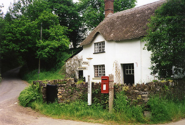
Beaford

Beaford is a village and civil parish in the Torridge district of Devon, England. The village is about five miles south-east of Great Torrington, on the...

Huish, Torridge

Huish (anciently Hiwis) is a small village, civil parish and former manor in the Torridge district of Devon, England. The eastern boundary of the parish...

Dolton, Devon

Dolton is a small village and civil parish in the Torridge district of Devon, south-west England, surrounded, clockwise from the north, by Beaford, Ashreigney...

Dowland, Devon

Dowland is a civil parish in Devon, situated near Winkleigh. It is also the name of a hamlet in the parish. == References ==

Potheridge

Potheridge (alias Great Potheridge, Poderigge, Poderidge or Powdrich) is a former Domesday Book estate in the parish of Merton, in the historic hundred...

Have you been to Balls Copse?

Leave your review of Balls Copse below (or comments, questions and feedback).