Chidgley

Settlement in Somerset Somerset West and Taunton

England

Chidgley

Old Cleve : Road A small country lane.
Old Cleve : Road Credit: Lewis Clarke

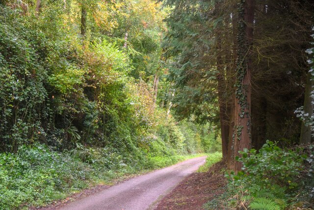
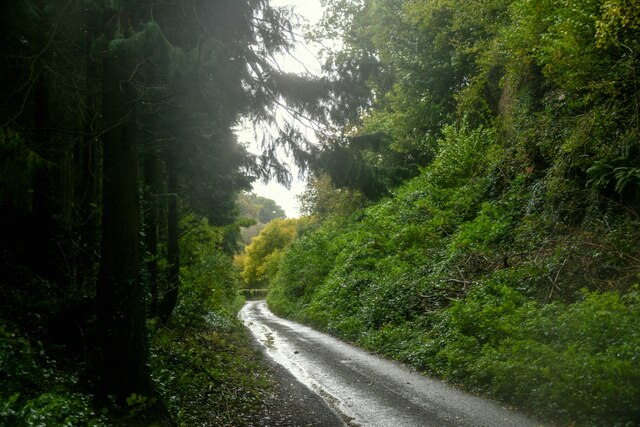
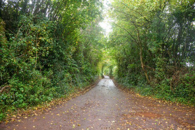
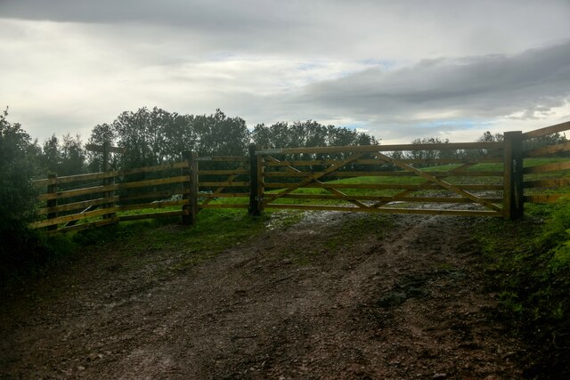
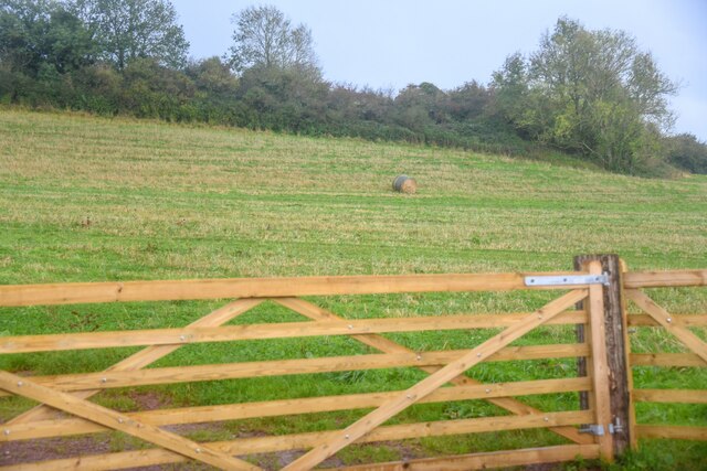
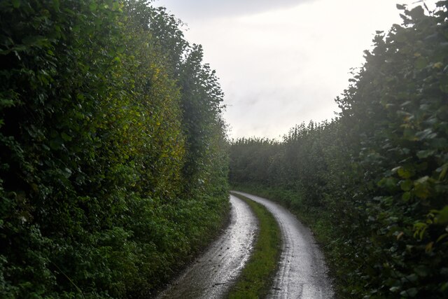
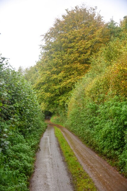
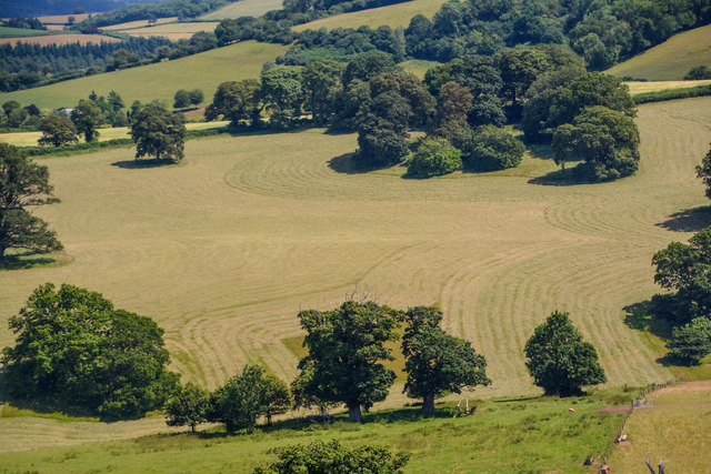
Chidgley is a small village located in the county of Somerset, England. Situated in the Mendip Hills, it is a picturesque rural community with a population of around 300 residents. The village is known for its tranquil and idyllic setting, surrounded by rolling green hills and scenic countryside.

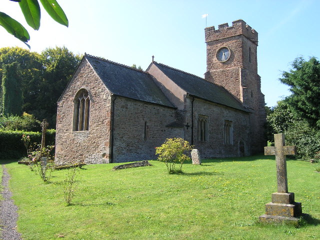
Chidgley is characterized by its charming stone cottages and traditional architecture, which adds to the village's timeless appeal. It is steeped in history, with evidence of human habitation dating back to the Neolithic period. The area has also seen Roman occupation, and remnants of a Roman villa have been discovered nearby.

Despite its small size, Chidgley boasts a strong sense of community. The village has a local pub, The Chidgley Arms, which serves as a social hub for residents and visitors alike. The pub offers a warm and friendly atmosphere, often hosting events and gatherings that bring the community together.

The surrounding landscape offers ample opportunities for outdoor activities. The nearby Mendip Hills provide stunning hiking trails, with breathtaking views of the surrounding countryside. Chidgley is also close to Cheddar Gorge, a renowned natural landmark famous for its limestone cliffs and cave systems.

Although Chidgley is predominantly a residential area, there are a few small businesses, such as a village shop and a post office, catering to the needs of the local population.

Overall, Chidgley is a quintessential English village, known for its beauty, community spirit, and connection to the natural landscape. It offers a peaceful and serene environment for those seeking a rural retreat in the heart of Somerset.

If you have any feedback on the listing, please let us know in the comments section below.

Chidgley Images

Images are sourced within 2km of 51.119114/-3.361426 or Grid Reference ST0436. Thanks to Geograph Open Source API. All images are credited.

Old Cleve : Road A small country lane.
Old Cleve : Road
A small country lane.
Old Cleve : Road A road heads through the countryside.
Old Cleve : Road
A road heads through the countryside.
Nettlecombe : Harper's Lane Looking along a country lane.
Nettlecombe : Harper's Lane
Looking along a country lane.
Nettlecombe : Field A grassy field beyond the gate.
Nettlecombe : Field
A grassy field beyond the gate.
Nettlecombe : Field A grassy field beyond the gate.
Nettlecombe : Field
A grassy field beyond the gate.
Nettlecombe : Woodadvent Lane A small country lane.
Nettlecombe : Woodadvent Lane
A small country lane.
Nettlecombe : Woodadvent Lane A small country lane.
Nettlecombe : Woodadvent Lane
A small country lane.
Leighland Chapel Ford There are warnings at either end of this narrow byway with photographs of stranded delivery vans. On the day of our visit the ford was muddy but 'dry' and passable in both directions.
Leighland Chapel Ford
There are warnings at either end of this narrow byway with photographs of stranded delivery vans. On the day of our visit the ford was muddy but 'dry' and passable in both directions.
Old Milestone by the B3190, Sticklepath, Old Cleeve parish Metal plate attached to stone post by the B3190, in parish of Old Cleeve (West Somerset District), hamlet of Sticklepath, beside road on bank, on West side of road. Minehead iron plate, erected by the Minehead & Bampton Road turnpike trust in the 19th century. 

Inscription reads:- 
5
MILES
To
Watchet
Carved benchmark lower front.

Grade II listed.  List Entry Number: 1345598 <span class="nowrap"><a title="https://historicengland.org.uk/listing/the-list/list-entry/1345598" rel="nofollow ugc noopener" href="https://historicengland.org.uk/listing/the-list/list-entry/1345598">Link</a><img style="margin-left:2px;" alt="External link" title="External link - shift click to open in new window" src="https://s1.geograph.org.uk/img/external.png" width="10" height="10"/></span>

Milestone Society National ID: SO_WTTV05
Old Milestone by the B3190, Sticklepath, Old Cleeve parish
Metal plate attached to stone post by the B3190, in parish of Old Cleeve (West Somerset District), hamlet of Sticklepath, beside road on bank, on West side of road. Minehead iron plate, erected by the Minehead & Bampton Road turnpike trust in the 19th century. Inscription reads:- 5 MILES To Watchet Carved benchmark lower front. Grade II listed. List Entry Number: 1345598 LinkExternal link Milestone Society National ID: SO_WTTV05
Direction Sign - Signpost by the B3190, near Nettlecombe Pyramid finial - 3 arms; Somerset SCC pyramid by the B3190, in parish of Old Cleeve (West Somerset District), South of Huish Barton.

Exmoor National Park HER.
ENPHER Monument Number: MEM24542 <span class="nowrap"><a title="https://www.heritagegateway.org.uk/Gateway/Results_Single.aspx?uid=MEM24542&resourceID=1022" rel="nofollow ugc noopener" href="https://www.heritagegateway.org.uk/Gateway/Results_Single.aspx?uid=MEM24542&resourceID=1022">Link</a><img style="margin-left:2px;" alt="External link" title="External link - shift click to open in new window" src="https://s1.geograph.org.uk/img/external.png" width="10" height="10"/></span>

Surveyed

Milestone Society National ID: SO_ST0538
Direction Sign - Signpost by the B3190, near Nettlecombe
Pyramid finial - 3 arms; Somerset SCC pyramid by the B3190, in parish of Old Cleeve (West Somerset District), South of Huish Barton. Exmoor National Park HER. ENPHER Monument Number: MEM24542 LinkExternal link Surveyed Milestone Society National ID: SO_ST0538
Nettlecombe : Countryside Scenery Looking across the countryside in the parish of Nettlecombe.
Nettlecombe : Countryside Scenery
Looking across the countryside in the parish of Nettlecombe.
Nettlecombe : Countryside Scenery Looking out across the countryside in the parish of Nettlecombe.
Nettlecombe : Countryside Scenery
Looking out across the countryside in the parish of Nettlecombe.
Nettlecombe : Countryside Scenery Looking out across the countryside in the Nettlecombe parish.
Nettlecombe : Countryside Scenery
Looking out across the countryside in the Nettlecombe parish.
Nettlecombe : The B3190 The B3190 in the Nettlecombe parish.
Nettlecombe : The B3190
The B3190 in the Nettlecombe parish.
Nettlecombe : The B3190 Heading along the B3190 in the Nettlecombe parish.
Nettlecombe : The B3190
Heading along the B3190 in the Nettlecombe parish.
Nettlecombe : Countryside Scenery Hills and fields in the Nettlecombe parish.
Nettlecombe : Countryside Scenery
Hills and fields in the Nettlecombe parish.
Nettlecombe : The B3190 Heading along the B3190 in the Nettlecombe parish.
Nettlecombe : The B3190
Heading along the B3190 in the Nettlecombe parish.
Old Cleeve : B3190 Heading along the B3190 and alongside Chidgely Hill Farm.
Old Cleeve : B3190
Heading along the B3190 and alongside Chidgely Hill Farm.
Show me another place!

Chidgley is located at Grid Ref: ST0436 (Lat: 51.119114, Lng: -3.361426)

Administrative County: Somerset

District: Somerset West and Taunton

Police Authority: Avon and Somerset

What 3 Words

///shuttled.shoppers.eyeliner. Near Williton, Somerset

Related Wikis

Nettlecombe Court

Nettlecombe Court and park is an old estate on the northern fringes of the Brendon Hills, within the Exmoor National Park. They are within the civil parish...

Nettlecombe, Somerset

Nettlecombe is a civil parish in the English county of Somerset. The parish covers a rural area below the Brendon Hills, comprising the small hamlets of...

Comberow railway station

Comberow was an intermediate station on the West Somerset Mineral Railway (WSMR), which was built primarily to carry iron ore from mines to Watchet harbour...

Roadwater railway station

The Roadwater railway station was an intermediate station on the West Somerset Mineral Railway (WSMR), which was built primarily to carry iron ore from...

Roadwater

Roadwater is a village 3 miles (5 km) south-west of Williton, on the northern edge of the Exmoor National Park, in Somerset, England. == History == The...

Monksilver

Monksilver is a village 3 miles (5 km) west of the town of Williton in Somerset, England, on the eastern flank of the Brendon Hills and the border of the...

Clitsome railway station

Clitsome was a recognised stopping place, not a formal station, on the West Somerset Mineral Railway (WSMR). The railway's prime purpose was to carry iron...

Brendon Hill railway station

Brendon Hill (occasionally referred to as "Raleigh's Cross") was an intermediate station on the West Somerset Mineral Railway (WSMR), which was built primarily...

Nearby Amenities

Located within 500m of 51.119114,-3.361426
Stickle Path
Is In: Somerset, England, UK
Place: hamlet
Lat/Long: 51.1171391/-3.3632721
Wilhay Farm
Note Retag: CS #48756035
Place: isolated_dwelling
Lat/Long: 51.1164522/-3.3656666
Chidgely Hill Farm
Note Retag: CS #48756035
Place: farm
Lat/Long: 51.1193836/-3.3622212
Chidgely Farm
Note Retag: CS #48756035
Place: farm
Lat/Long: 51.11911/-3.3604363
Post Box
Operator: Royal Mail
Operator Wikidata: Q638098
Post Box Type: lamp
Ref: TA23 87
Royal Cypher: EIIR
Royal Cypher Wikidata: Q33102113
Lat/Long: 51.1191468/-3.3612235
Passing Place
Lat/Long: 51.1207411/-3.3610233
The data included in this document is from www.openstreetmap.org. The data is made available under ODbL.

Have you been to Chidgley?

Leave your review of Chidgley below (or comments, questions and feedback).