Western Park Wood

Wood, Forest in Devon South Hams

England

Western Park Wood

Road at Steer Point The last 30 metres of the roadway from Brixton is private. It ends at a slipway into Cofflete Creek. Across the creek is Wembury Wood. The sign reads "No digging for worms or fishing. Cofflete B C" . That must be Cofflete Boat Club.
Road at Steer Point Credit: Derek Harper

Western Park Wood is a picturesque woodland located in Devon, England. Covering an area of approximately 30 acres, this enchanting forest is nestled within the heart of the countryside, offering visitors a tranquil and serene escape from the hustle and bustle of everyday life.

The wood is home to a diverse range of trees, with oak, beech, ash, and birch being the most prominent species. The dense canopy provides a sheltered habitat for an array of wildlife, including squirrels, deer, and a variety of bird species. The forest floor is adorned with a carpet of bluebells and wildflowers during the spring months, creating a stunning display of natural beauty.

There are several well-maintained trails that wind through the wood, allowing visitors to explore its hidden treasures. These paths offer a chance to immerse oneself in the peaceful surroundings while enjoying a leisurely walk or a more vigorous hike. Along the way, benches and picnic areas are scattered throughout, providing ideal spots for visitors to rest and take in the breathtaking scenery.

Western Park Wood is a popular destination for nature lovers, photographers, and those seeking a peaceful retreat. It offers a wealth of opportunities for outdoor activities such as birdwatching, photography, and nature walks. The wood is open to the public year-round, with no admission fee, making it accessible to all.

In summary, Western Park Wood is a captivating woodland in Devon, offering visitors a chance to connect with nature and escape the stresses of modern life. With its diverse flora and fauna, well-maintained trails, and serene atmosphere, it is the perfect destination for those seeking a tranquil and immersive outdoor experience.

If you have any feedback on the listing, please let us know in the comments section below.

Western Park Wood Images

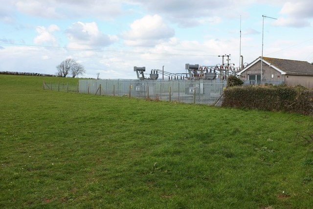
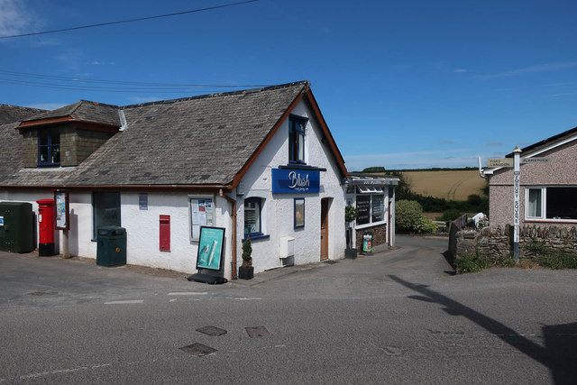
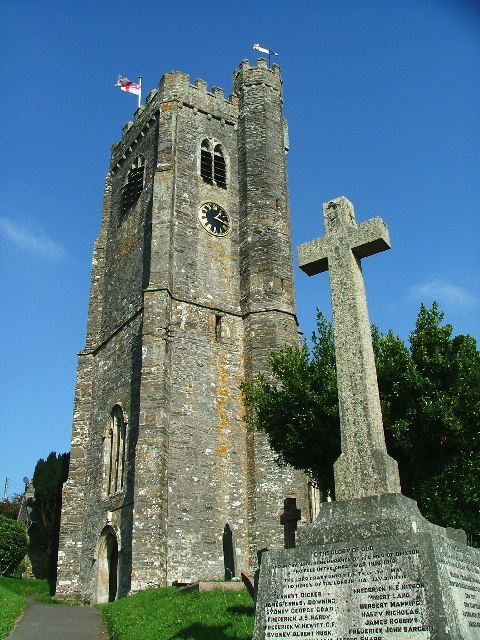
Images are sourced within 2km of 50.335838/-4.0506903 or Grid Reference SX5450. Thanks to Geograph Open Source API. All images are credited.

Road at Steer Point The last 30 metres of the roadway from Brixton is private. It ends at a slipway into Cofflete Creek. Across the creek is Wembury Wood. The sign reads "No digging for worms or fishing. Cofflete B C" . That must be Cofflete Boat Club.
Road at Steer Point
The last 30 metres of the roadway from Brixton is private. It ends at a slipway into Cofflete Creek. Across the creek is Wembury Wood. The sign reads "No digging for worms or fishing. Cofflete B C" . That must be Cofflete Boat Club.
Electricity substation near Newton Ferrers Seen from a gateway on the lane past Wrescombe.
Electricity substation near Newton Ferrers
Seen from a gateway on the lane past Wrescombe.
Jenys' Park Farm
Jenys' Park Farm
Jenys' Park
Jenys' Park
Track off Wembury Rd
Brownhill Lane
Brownhill Lane
Houses, Knighton Rd
Houses, Knighton Rd
Wembury Primary School
Ryeland
Ryeland
Brownhill Lane
Brownhill Lane
Cofflete Creek Private slipway at Steer Point
Cofflete Creek
Private slipway at Steer Point
Wembury Meadow
Wembury Meadow
Play area, Wembury
Play area, Wembury
Skate park, Wembury
Skate park, Wembury
Mewstone Avenue Indeed aligned with the Great Mew Stone.
Mewstone Avenue
Indeed aligned with the Great Mew Stone.
Footpath from Brownhill Lane
Former Post Office, Wembury Now a beauty salon and dog grooming parlour. The Post Office has moved to the convenience store.
Former Post Office, Wembury
Now a beauty salon and dog grooming parlour. The Post Office has moved to the convenience store.
Show me another place!

Western Park Wood is located at Grid Ref: SX5450 (Lat: 50.335838, Lng: -4.0506903)

Administrative County: Devon

District: South Hams

Police Authority: Devon and Cornwall

What 3 Words

///span.fence.tools. Near Brixton, Devon

Related Wikis

Steer Point railway station

Steer Point railway station served the village of Brixton, Devon, England, from 1898 to 1960 on the Plymouth to Yealmpton Branch. == History == The station...

Combe, Yealmpton, Devon

Combe is a village near Yealmpton in the county of Devon, England. == References ==

Brixton Road railway station

Brixton Road railway station served the village of Brixton, Devon, England from 1898 to 1960 on the Plymouth to Yealmpton Branch. == History == The station...

Brixton, Devon

Brixton is a village, parish and former manor situated near Plymouth in South Hams, Devon, England. It is located on the A379 Plymouth to Kingsbridge road...

Nearby Amenities

Located within 500m of 50.335838,-4.0506903
Source: PGS
Lat/Long: 50.3360367/-4.052548
Source: PGS
Lat/Long: 50.3369652/-4.0522296
Source: PGS
Lat/Long: 50.3375027/-4.0495782
Source: PGS
Lat/Long: 50.3373702/-4.0502077
Source: PGS
Lat/Long: 50.3370575/-4.0505316
Source: PGS
Lat/Long: 50.3367252/-4.0509049
Source: PGS
Lat/Long: 50.3361913/-4.051436
Created By: almien_coastlines
Source: PGS
Lat/Long: 50.335539/-4.051179
Source: PGS
Lat/Long: 50.334684/-4.0504001
Source: PGS
Lat/Long: 50.3345644/-4.0500794
Source: PGS
Lat/Long: 50.3344452/-4.0495932
Source: PGS
Lat/Long: 50.3339889/-4.0488955
Source: PGS
Lat/Long: 50.3337042/-4.0484596
Source: PGS
Lat/Long: 50.3333892/-4.0480948
Source: PGS
Lat/Long: 50.3332646/-4.0475003
Source: PGS
Lat/Long: 50.3330351/-4.0470748
Source: PGS
Lat/Long: 50.3326633/-4.0465713
Source: PGS
Lat/Long: 50.333485/-4.051534
Source: PGS
Lat/Long: 50.3331872/-4.0511028
Source: PGS
Lat/Long: 50.3330241/-4.0507962
Source: PGS
Lat/Long: 50.332802/-4.0502884
Source: PGS
Lat/Long: 50.332729/-4.050115
Source: PGS
Lat/Long: 50.3323883/-4.0495388
Source: PGS
Lat/Long: 50.3321484/-4.0488169
Information: guidepost
Tourism: information
Lat/Long: 50.3366243/-4.0538344
Bench
Backrest: yes
Lat/Long: 50.3365272/-4.0526781
Source: PGS
Lat/Long: 50.3344886/-4.0521174
Source: PGS
Lat/Long: 50.331974/-4.048496
Source: PGS
Lat/Long: 50.3317876/-4.0482696
Direction: 60
Tourism: viewpoint
Lat/Long: 50.3365993/-4.0526559
Information: guidepost
Tourism: information
Lat/Long: 50.3359367/-4.0536022
Post Box
Brand: Royal Mail
Brand Wikidata: Q638098
Brand Wikipedia: en:Royal Mail
Collection Times: Mo-Fr 10:00; Sa 08:30; Su off
Drive Through: no
Operator: Royal Mail
Operator Wikidata: Q638098
Post Box Design: type_c
Post Box Mounting: brick_pillar
Post Box Type: wall
Ref: PL8 567
Royal Cypher: EVIIR
Royal Cypher Wikidata: Q33102324
Source: survey;streetlevel imagery;aerial imagery
Lat/Long: 50.3352405/-4.0446623
Grit Bin
Survey Date: 2022-04-23
Lat/Long: 50.336773/-4.0450958
Barrier: kissing_gate
Lat/Long: 50.3354641/-4.0446309
Passing Place
Lat/Long: 50.3374513/-4.0451733
The data included in this document is from www.openstreetmap.org. The data is made available under ODbL.

Have you been to Western Park Wood?

Leave your review of Western Park Wood below (or comments, questions and feedback).