Huish Cross Plantation
Wood, Forest in Devon Torridge
England
Huish Cross Plantation
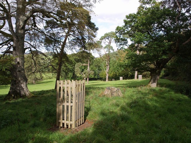
Huish Cross Plantation is a charming woodland area located in Devon, England. Situated near the village of Huish Cross, this plantation covers a vast expanse of land and is renowned for its dense forest and diverse flora and fauna.
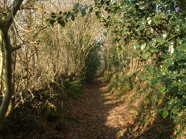
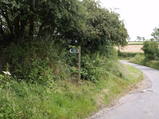
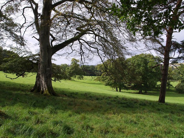
The plantation is characterized by its lush greenery, towering trees, and well-maintained trails that wind through the woodland. It offers a serene and peaceful escape for nature lovers, hikers, and wildlife enthusiasts alike. The diverse ecosystem supports a wide range of plant species, including oak, beech, birch, and pine trees, which create a stunning and vibrant landscape throughout the year.
Huish Cross Plantation is also home to a variety of wildlife, making it an ideal spot for animal enthusiasts. The woodland provides a habitat for numerous bird species, such as woodpeckers, owls, and thrushes, offering visitors the opportunity to observe and appreciate their natural behaviors. Additionally, the plantation is also inhabited by mammals like deer, foxes, and squirrels, adding to the allure of the area.
Visitors can enjoy a leisurely stroll along the well-marked trails, taking in the peaceful ambiance and breathtaking scenery. The plantation is equipped with picnic areas, allowing visitors to relax and enjoy a meal amidst nature. Furthermore, the plantation is easily accessible, with ample parking facilities available nearby.
Huish Cross Plantation is a natural gem in Devon, offering a tranquil retreat for those seeking solace in the beauty of nature. Whether it's exploring the woodland, observing wildlife, or simply enjoying a picnic, this plantation has something to offer for everyone.
If you have any feedback on the listing, please let us know in the comments section below.
Huish Cross Plantation Images
Images are sourced within 2km of 50.879955/-4.0766388 or Grid Reference SS5410. Thanks to Geograph Open Source API. All images are credited.


Huish Cross Plantation is located at Grid Ref: SS5410 (Lat: 50.879955, Lng: -4.0766388)
Administrative County: Devon
District: Torridge
Police Authority: Devon and Cornwall
What 3 Words
///taxpayers.chin.meaning. Near Hatherleigh, Devon
Nearby Locations
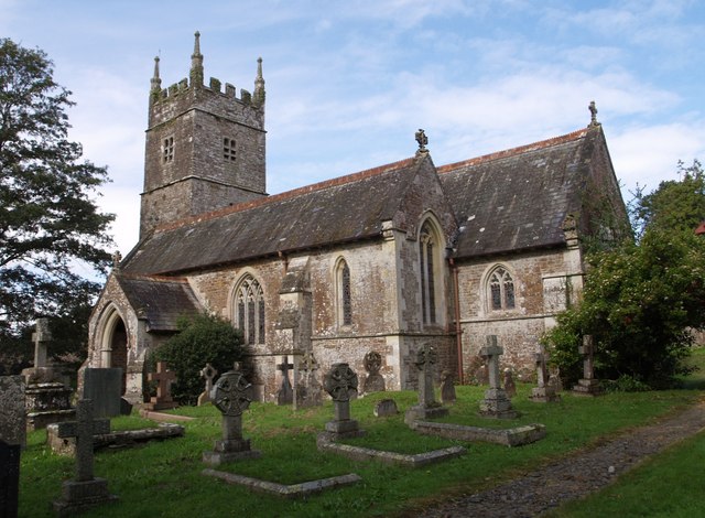
Related Wikis

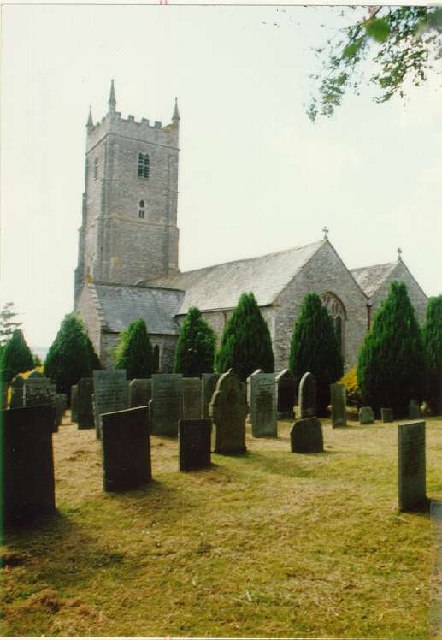
Huish, Torridge
Huish (anciently Hiwis) is a small village, civil parish and former manor in the Torridge district of Devon, England. The eastern boundary of the parish...

Barometer World
Barometer World was the world's only barometer museum, and was located in the village of Merton, near Great Torrington, Devon, England. Barometer World...

Merton, Devon
Merton is a village, ecclesiastical parish, former manor and civil parish administered by the local government district of Torridge, Devon, England. The...

Petrockstow railway station
Petrockstow railway station was a station serving the village of Petrockstowe in West Devon, which is about one mile away. The station was, throughout...
Have you been to Huish Cross Plantation?
Leave your review of Huish Cross Plantation below (or comments, questions and feedback).