Merton Wood

Wood, Forest in Devon Torridge

England

Merton Wood

Bracken by the Tarka Trail on Marland Moor
Bracken by the Tarka Trail on Marland Moor Credit: David Smith

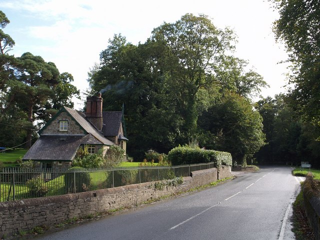
Merton Wood is a charming forest located in Devon, England. Covering an expansive area, it is renowned for its natural beauty and rich biodiversity. The wood is situated near the village of Merton, providing a picturesque backdrop for visitors and locals alike.

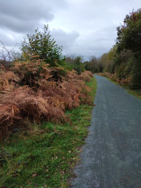
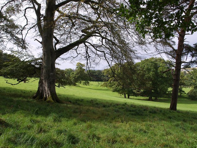
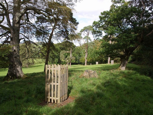
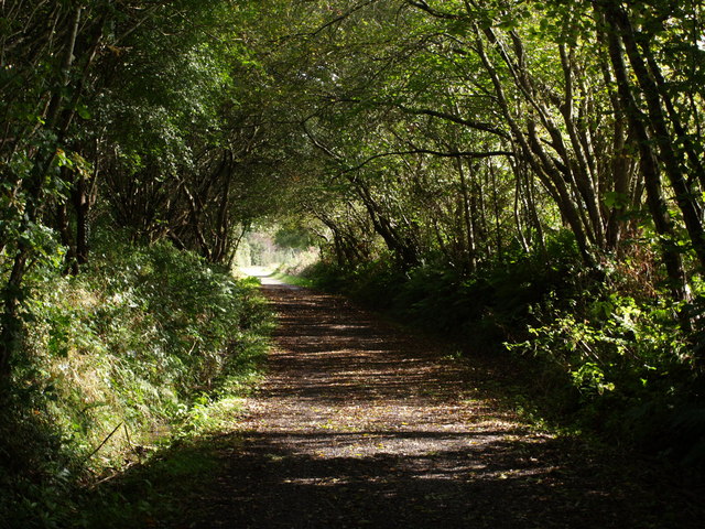
As one explores Merton Wood, they will be captivated by its diverse landscape. The forest is predominantly composed of deciduous trees, including oak, beech, and ash, which create a majestic canopy overhead. The forest floor is adorned with a lush carpet of ferns, mosses, and wildflowers, adding to its enchanting ambiance.

Merton Wood is a haven for wildlife enthusiasts, as it is home to a variety of animals and birds. Deer can frequently be spotted grazing in the clearings, while squirrels dart among the treetops. Birdwatchers can delight in the presence of species such as woodpeckers, owls, and thrushes, which inhabit the forest throughout the year.

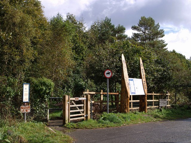
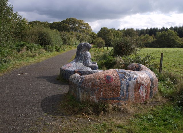
The wood offers numerous walking trails, allowing visitors to immerse themselves in its tranquility. These paths wind through the forest, leading to hidden glades, babbling brooks, and stunning viewpoints. The peaceful atmosphere of Merton Wood makes it an ideal destination for those seeking relaxation and a connection with nature.

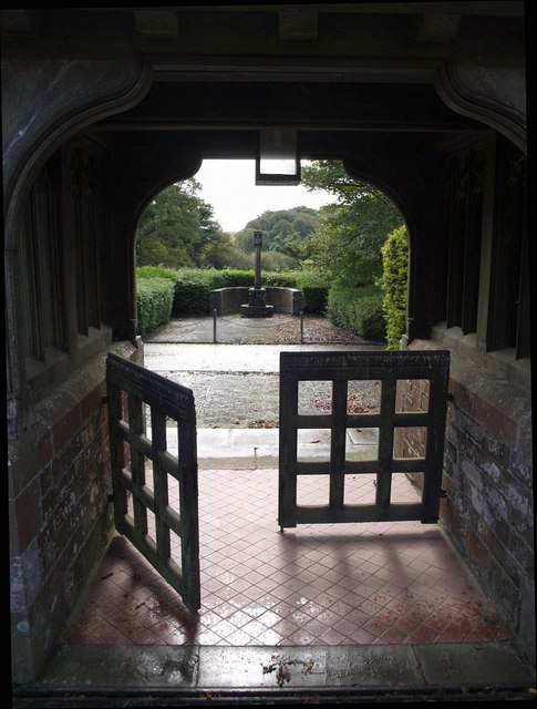
Moreover, Merton Wood holds historical significance. It has been managed by local authorities for centuries, ensuring its preservation and protection. The forest has witnessed the passage of time and continues to be a cherished natural treasure in Devon.

In conclusion, Merton Wood is a remarkable forest in Devon, characterized by its breathtaking scenery, abundant wildlife, and historical importance. It offers a serene escape from the hustle and bustle of everyday life, inviting visitors to explore its wonders and experience the tranquility of nature.

If you have any feedback on the listing, please let us know in the comments section below.
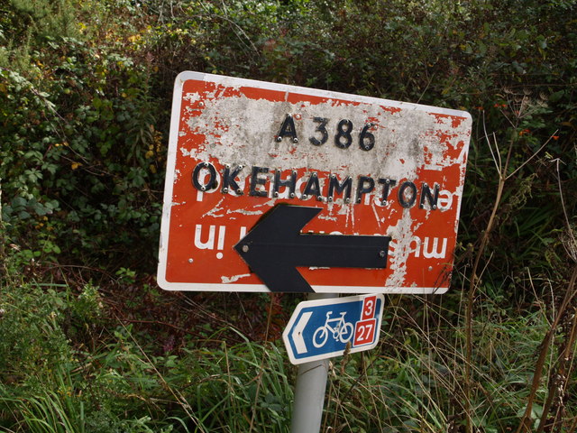
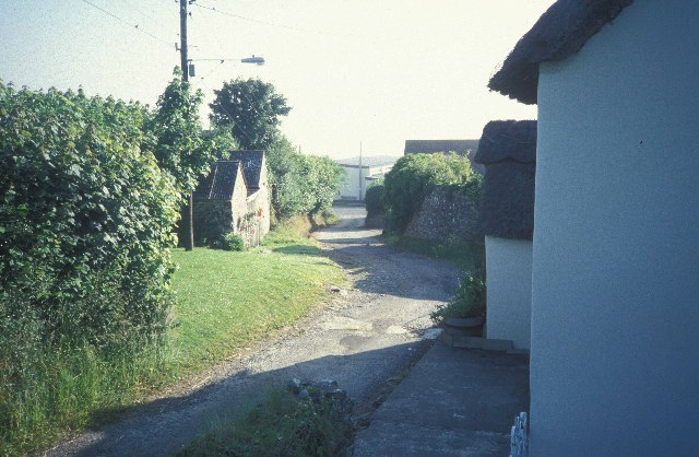
Merton Wood Images

Images are sourced within 2km of 50.884971/-4.0913638 or Grid Reference SS5211. Thanks to Geograph Open Source API. All images are credited.

Bracken by the Tarka Trail on Marland Moor
River Torridge at New Bridge There are lots of New Bridges in Devon. The Tarka Trail crosses this one a couple of miles west of Dolton.
River Torridge at New Bridge
There are lots of New Bridges in Devon. The Tarka Trail crosses this one a couple of miles west of Dolton.
Merton Church Another Devon location where my BLIGHT ancestors came from.
Merton Church
Another Devon location where my BLIGHT ancestors came from.
Merton: cottage by Merton Mill Cross As the signpost states, the road on the left leads to Beaford – via Balls Corner and Beaford Mill, on the river Torridge
Merton: cottage by Merton Mill Cross
As the signpost states, the road on the left leads to Beaford – via Balls Corner and Beaford Mill, on the river Torridge
Gatehouse of the Clinton Estate, Merton This is one of two gatehouses of the Clinton Estate in Merton
Gatehouse of the Clinton Estate, Merton
This is one of two gatehouses of the Clinton Estate in Merton
Leytown A farm in a shallow valley west of the Torridge, seen from the Tarka Trail as it follows the lane from Broadmead to New Bridge.
Leytown
A farm in a shallow valley west of the Torridge, seen from the Tarka Trail as it follows the lane from Broadmead to New Bridge.
St James the Less church, Huish The church was heavily restored by G E Street in 1873; only the medieval tower remains as it was.
St James the Less church, Huish
The church was heavily restored by G E Street in 1873; only the medieval tower remains as it was.
Lower Lodge Close to Kingsford Bridge on the A386 over the Little Mere River.
Lower Lodge
Close to Kingsford Bridge on the A386 over the Little Mere River.
Tarka Trail notices, Petrockstowe station A small car park to the right makes this a spot for starting walks or cycle rides along the trail, which here follows the line of the North Devon and Cornwall Junction Light Railway. Going through the gate on the left and turning right will take you past the site of the former station and on through woodland towards Meeth. The wood in the background is Heathmoor Plantation.
Tarka Trail notices, Petrockstowe station
A small car park to the right makes this a spot for starting walks or cycle rides along the trail, which here follows the line of the North Devon and Cornwall Junction Light Railway. Going through the gate on the left and turning right will take you past the site of the former station and on through woodland towards Meeth. The wood in the background is Heathmoor Plantation.
Otter seats, Tarka Trail Katy Hallett, Sustrans lead artist, designed these mosaic benches, entitled "White Tip and Greymuzzle", beside the trail on Marland Moor. To the right, across the field, is North Meadow Copse. Spoil tips from clay mining (one of the main users of the former railway along which the trail runs) are hidden to the left.
Otter seats, Tarka Trail
Katy Hallett, Sustrans lead artist, designed these mosaic benches, entitled "White Tip and Greymuzzle", beside the trail on Marland Moor. To the right, across the field, is North Meadow Copse. Spoil tips from clay mining (one of the main users of the former railway along which the trail runs) are hidden to the left.
Bourna A thatched farmhouse by the A386, and sited where the Tarka Trail runs alongside the main road for a short distance.
Bourna
A thatched farmhouse by the A386, and sited where the Tarka Trail runs alongside the main road for a short distance.
Bourna Another view of the farmhouse shown in <a href="https://www.geograph.org.uk/photo/569611">SS5410 : Bourna</a>. The land behind slopes gently away towards the River Torridge. Seen from the Tarka Trail as it passes along the A386.
Bourna
Another view of the farmhouse shown in SS5410 : Bourna. The land behind slopes gently away towards the River Torridge. Seen from the Tarka Trail as it passes along the A386.
The Hellings Part of the parkland at Heanton Satchville, on slopes above the valley of the River Mere. Seen from Huish Footpath 3.
The Hellings
Part of the parkland at Heanton Satchville, on slopes above the valley of the River Mere. Seen from Huish Footpath 3.
The Hellings An assortment of parkland trees beside Huish Footpath 3. <a href="https://www.geograph.org.uk/photo/569628">SS5311 : The Hellings</a> looks across to the west.
The Hellings
An assortment of parkland trees beside Huish Footpath 3. SS5311 : The Hellings looks across to the west.
Lych gate, Huish Looking out from the churchyard of <a href="https://www.geograph.org.uk/photo/567493">SS5311 : St James the Less church, Huish</a>. The paving beyond the tiles in very similar to <a href="https://www.geograph.org.uk/photo/569349">SS5408 : Path to church, Meeth</a>. Beyond the roadway is a calvary.
Lych gate, Huish
Looking out from the churchyard of SS5311 : St James the Less church, Huish. The paving beyond the tiles in very similar to SS5408 : Path to church, Meeth. Beyond the roadway is a calvary.
Lower Lodge Another view of <a href="https://www.geograph.org.uk/photo/567513">SS5211 : Lower Lodge</a> from the A386 at Kingsford Bridge over the Little Mere River. The junction on the right is with a lane to Petrockstowe.
Lower Lodge
Another view of SS5211 : Lower Lodge from the A386 at Kingsford Bridge over the Little Mere River. The junction on the right is with a lane to Petrockstowe.
Recycled sign, Petrockstowe station I tried turning this upside down to read the former wording, but it seems to have been re-used several times!
Recycled sign, Petrockstowe station
I tried turning this upside down to read the former wording, but it seems to have been re-used several times!
Tarka Trail The trail, combining footpath and cycleway (NCN route 3), follows the former track of the North Devon and Cornwall Junction Light Railway across Bury Moors.
Tarka Trail
The trail, combining footpath and cycleway (NCN route 3), follows the former track of the North Devon and Cornwall Junction Light Railway across Bury Moors.
Show me another place!

Merton Wood is located at Grid Ref: SS5211 (Lat: 50.884971, Lng: -4.0913638)

Administrative County: Devon

District: Torridge

Police Authority: Devon and Cornwall

What 3 Words

///wants.skims.organist. Near Hatherleigh, Devon

Related Wikis

Huish, Torridge

Huish (anciently Hiwis) is a small village, civil parish and former manor in the Torridge district of Devon, England. The eastern boundary of the parish...

Barometer World

Barometer World was the world's only barometer museum, and was located in the village of Merton, near Great Torrington, Devon, England. Barometer World...

Merton, Devon

Merton is a village, ecclesiastical parish, former manor and civil parish administered by the local government district of Torridge, Devon, England. The...

Petrockstow railway station

Petrockstow railway station was a station serving the village of Petrockstowe in West Devon, which is about one mile away. The station was, throughout...

Marland Works railway station

Marlands Works was a busy industrial site for just over a century, firstly on the Torrington and Marland Railway, built to carry bricks and clay on a three...

Heanton Satchville, Petrockstowe

Heanton Satchville was a historic manor in the parish of Petrockstowe, North Devon, England. With origins in the Domesday manor of Hantone, it was first...

Petrockstowe

Petrockstowe (or Petrockstow) is a small village and civil parish in the district of Torridge in Northern Devon, England. Its population in 2001 was 379...

Brealeys

Brealeys is a village in Devon, England. == References == == External links == Media related to Brealeys at Wikimedia Commons

Nearby Amenities

Located within 500m of 50.884971,-4.0913638
Direction: 175
Generator Method: photovoltaic
Generator Output Electricity: yes
Generator Solar Modules: 16
Generator Source: solar
Generator Type: solar_photovoltaic_panel
Location: roof
Power: generator
Lat/Long: 50.8876703/-4.0953188
Post Box
Brand: Royal Mail
Brand Wikidata: Q638098
Brand Wikipedia: en:Royal Mail
Collection Times: Mo-Fr 09:00; Sa 07:00; Su off
Drive Through: no
Operator: Royal Mail
Operator Wikidata: Q638098
Post Box Design: type_c
Post Box Mounting: brick_pillar
Post Box Type: wall
Ref: EX20 75D
Royal Cypher: GR
Royal Cypher Wikidata: Q33102273
Source: survey;streetlevel imagery;aerial imagery
Lat/Long: 50.8825964/-4.0961004
The data included in this document is from www.openstreetmap.org. The data is made available under ODbL.

Have you been to Merton Wood?

Leave your review of Merton Wood below (or comments, questions and feedback).